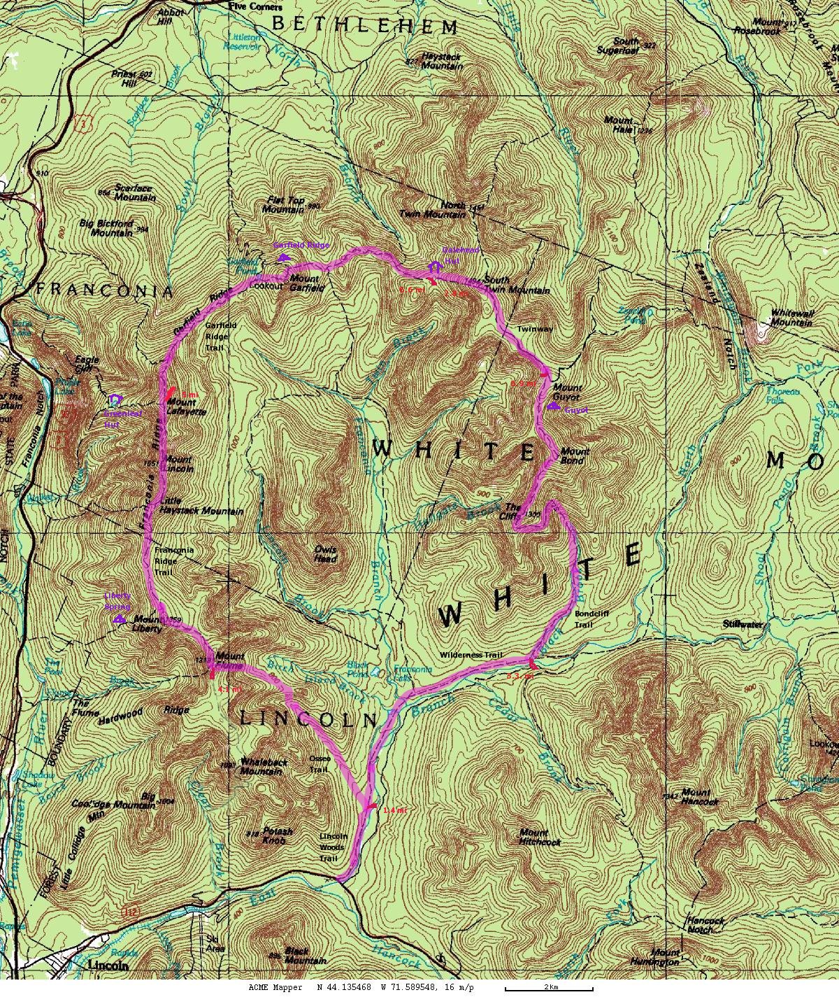
Here's The map as a PDF file in case the CalTopo website becomes unavailable.
Of historic interest, only: my older, cruder map (with a small error!) based on the interactive topographic map at Acme Mapper. At that time, the online map showed the *former* position of the Osseo Trail (I airbrushed my version).