Sawyer River Road was closed for winter, so I had to walk an extra two miles each way.
|
|
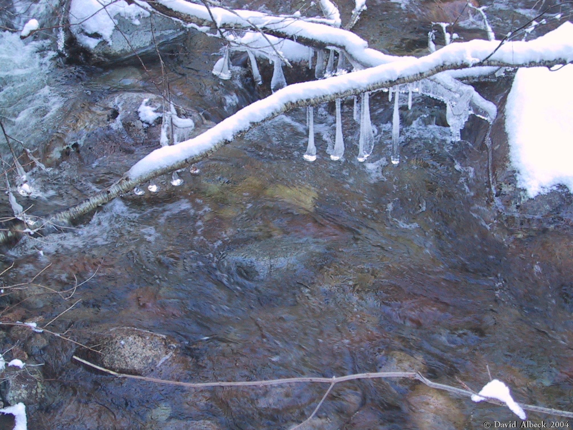
Icicles in a stream by Sawyer River Road. |
|
|
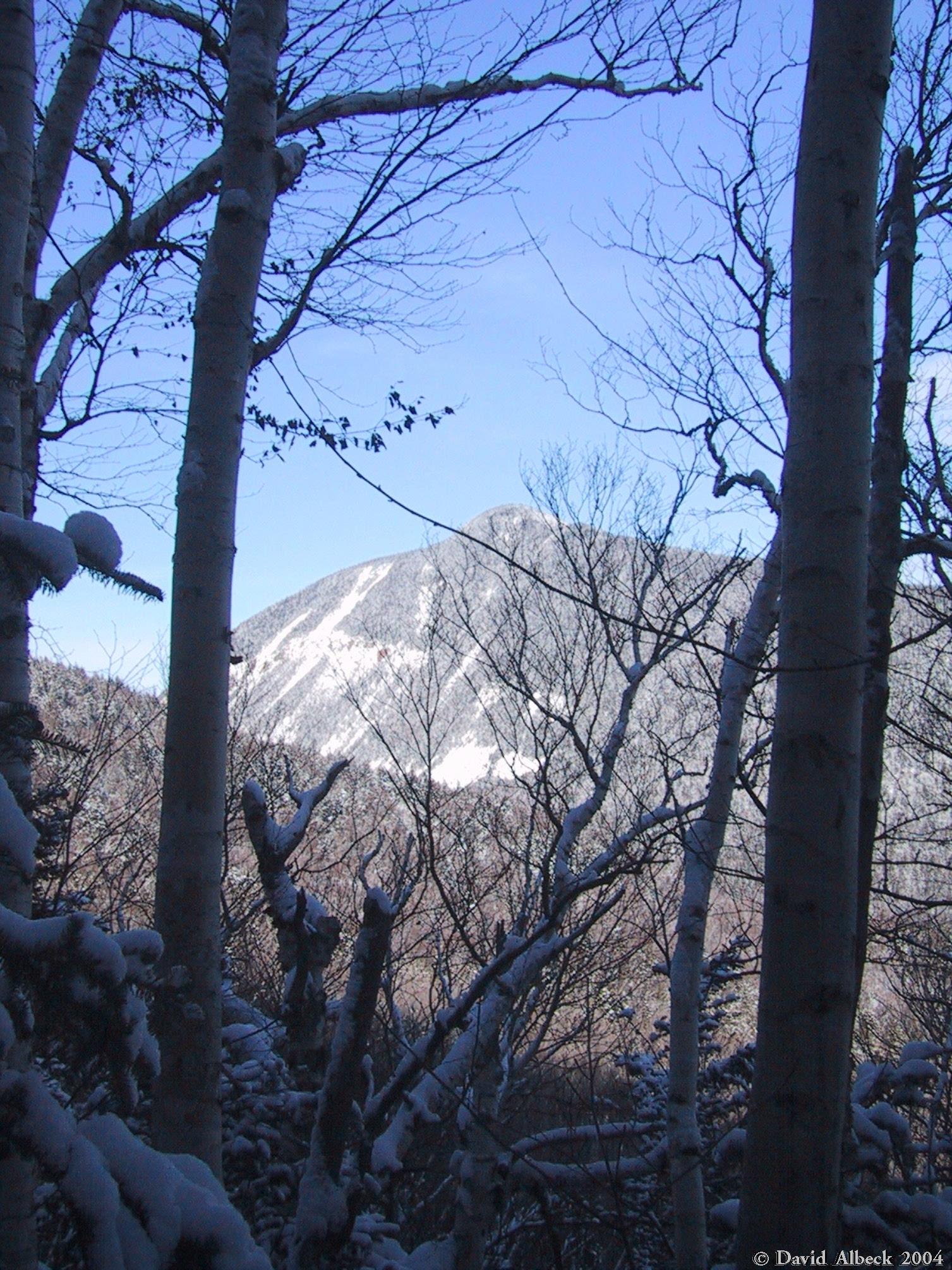
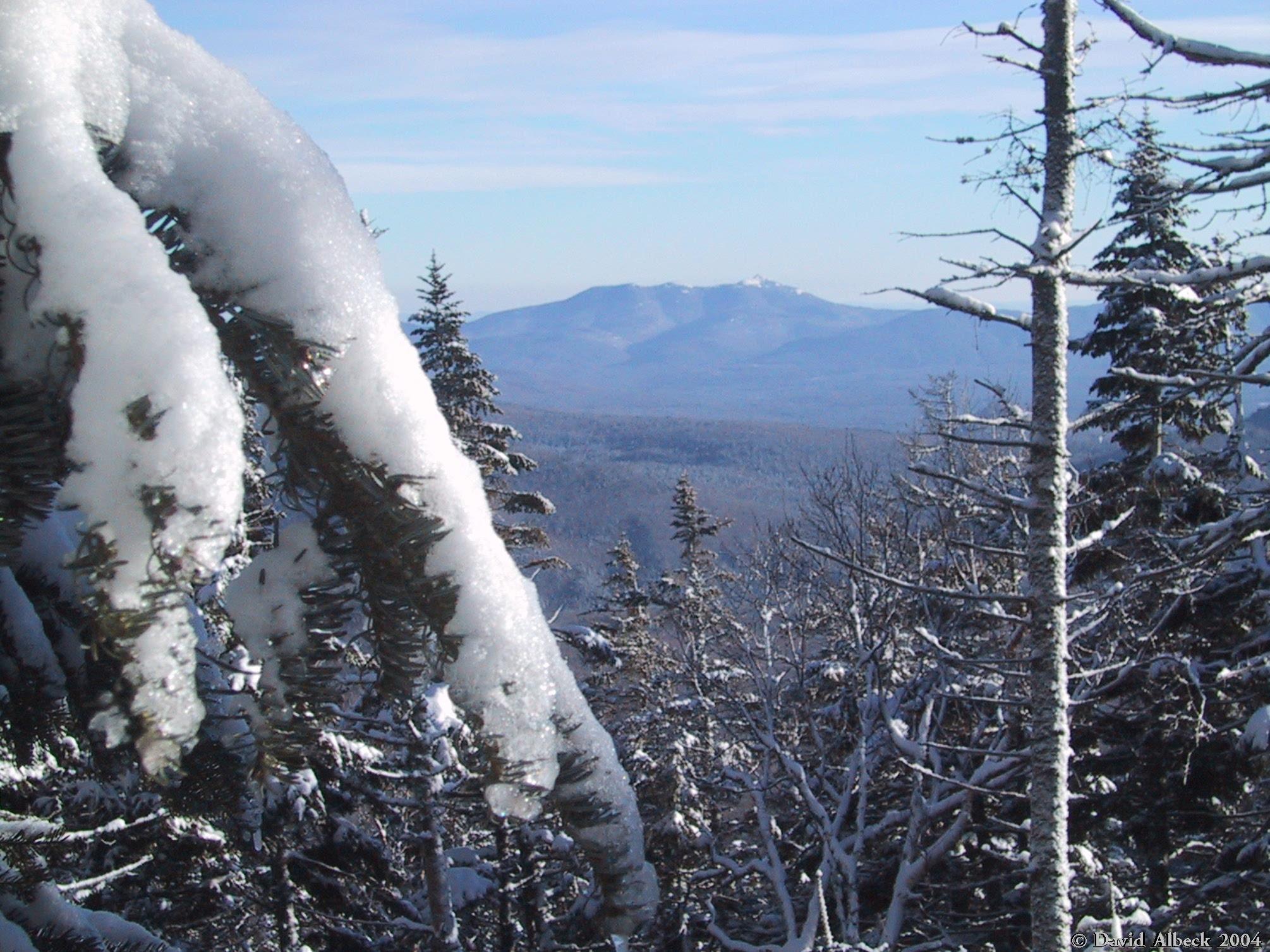
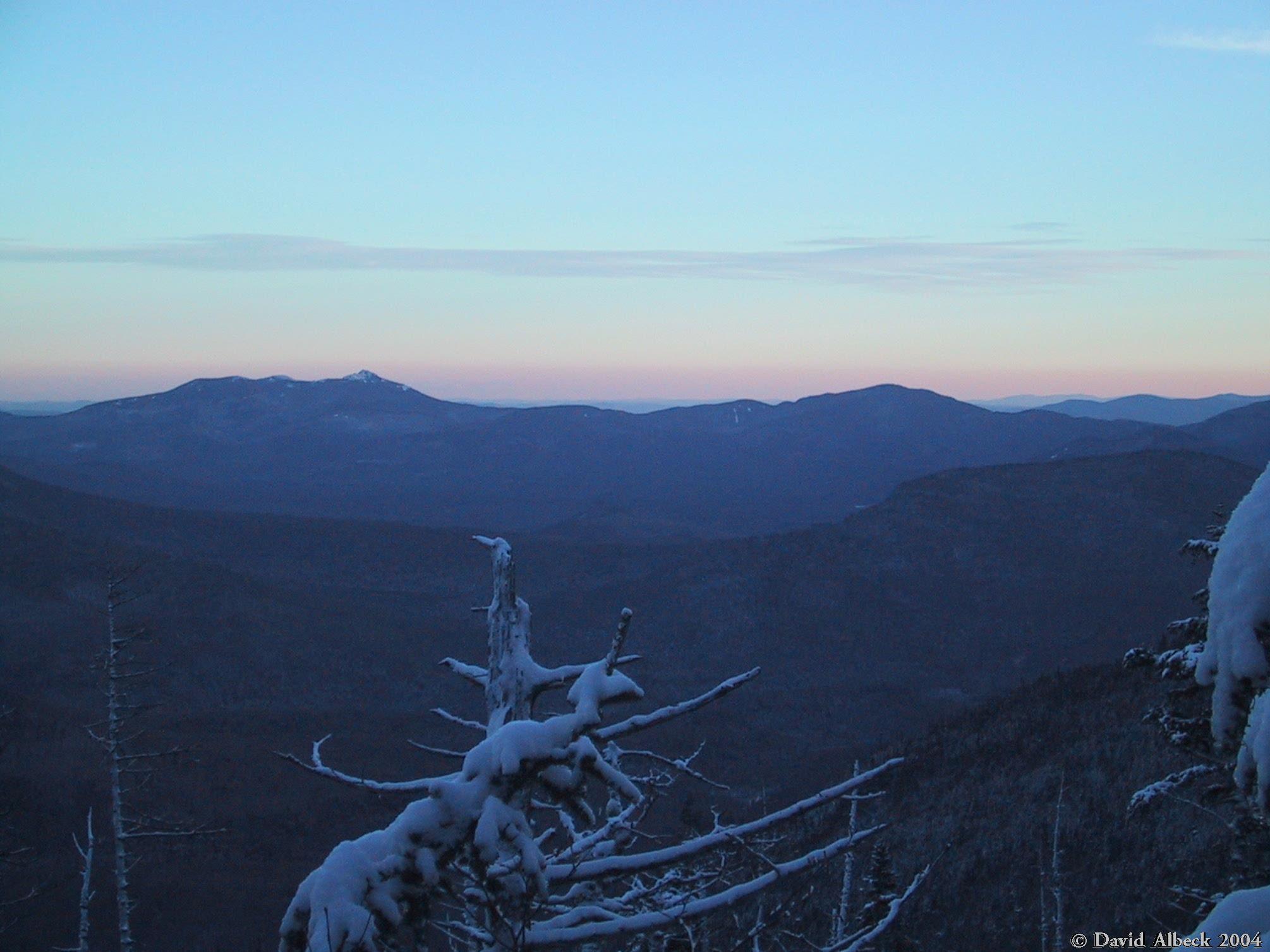
Glimpse of Mount Lowell across Carrigain Notch. |
|
|
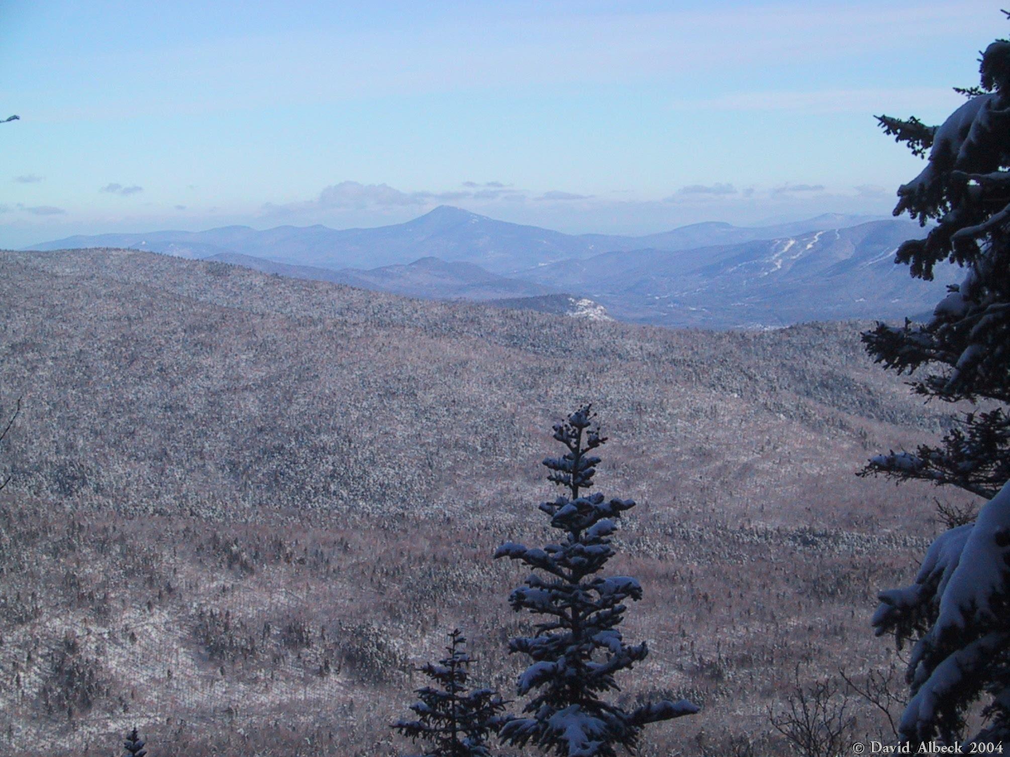
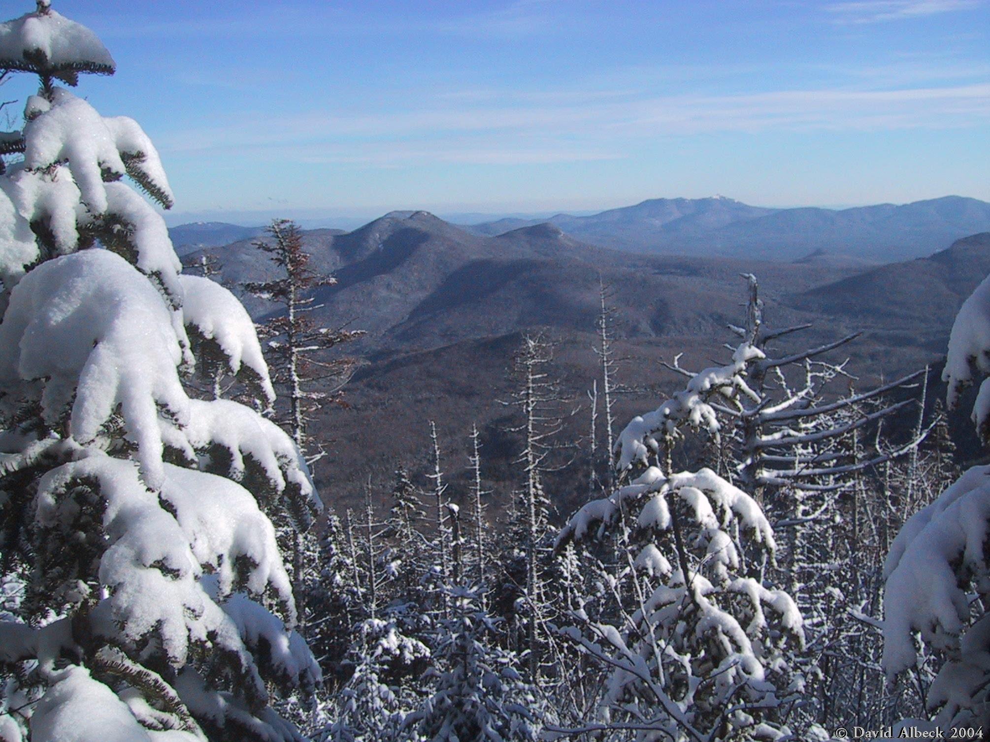
A briefly open view from the trail. |
|
|
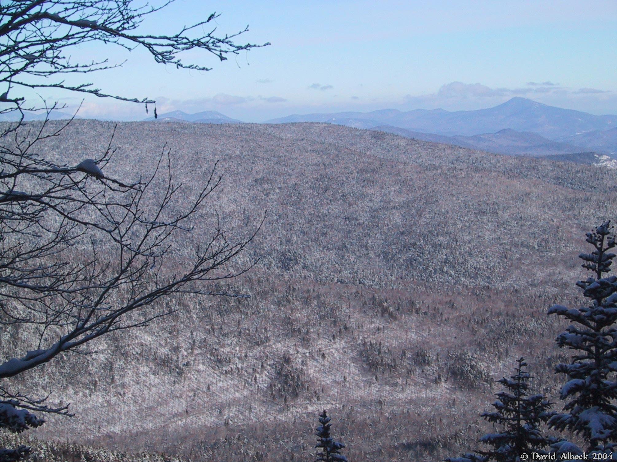
Same view, panning a little further left. |
|
|
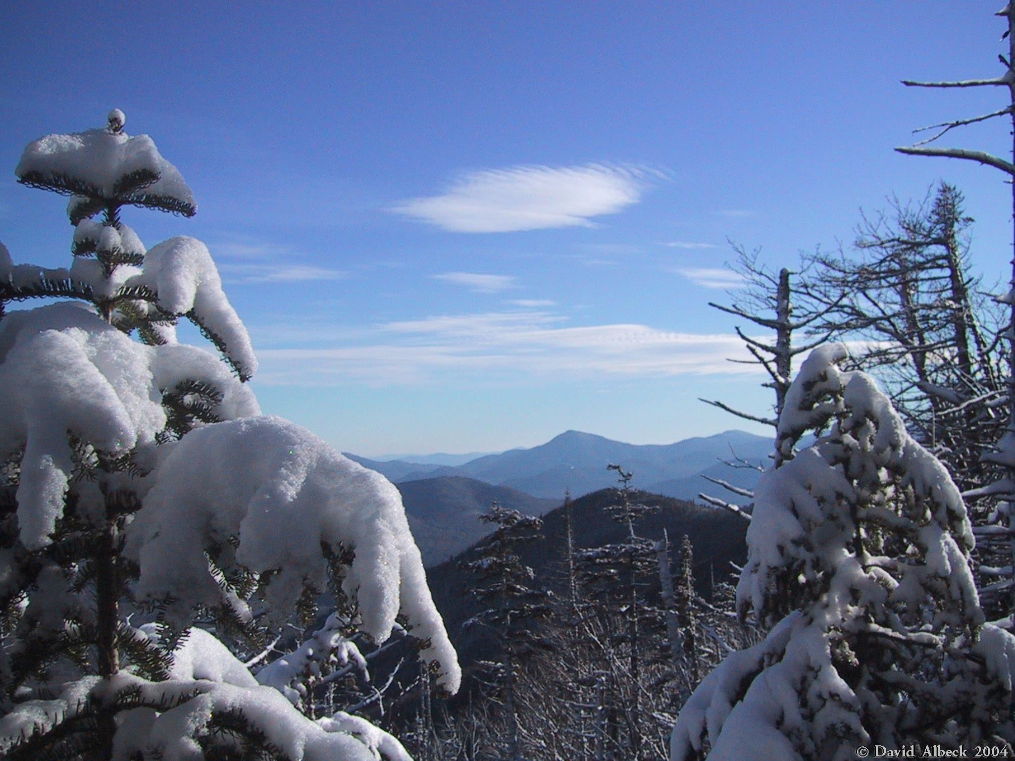
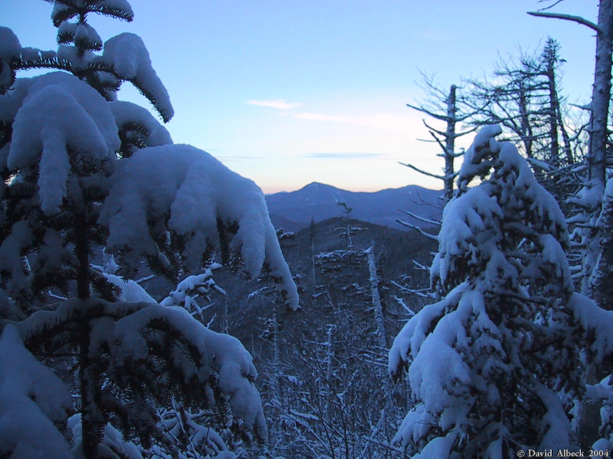
As the trail gradually approaches the ridge, some more views can be glimpsed. |
|
|
These gradually increase in number, |
|
|
But stay fairly narrow. |
|
|
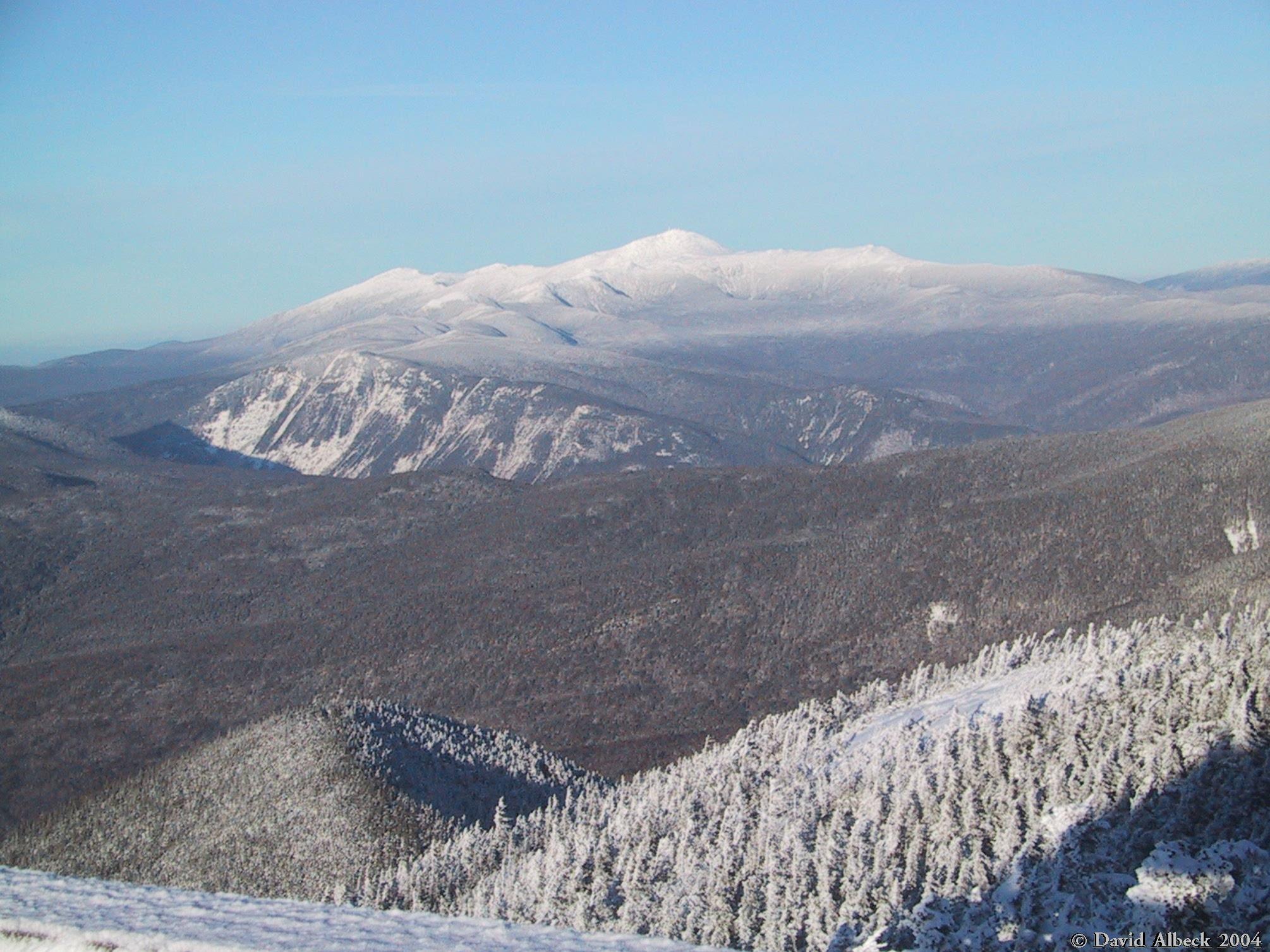
Mt Washington from the summit. Webster cliff at middle left. |
|
|
Another view from the summit. I think that's Mt Bond, with Zealand, Guyot and the Twins in the background. |
|
|
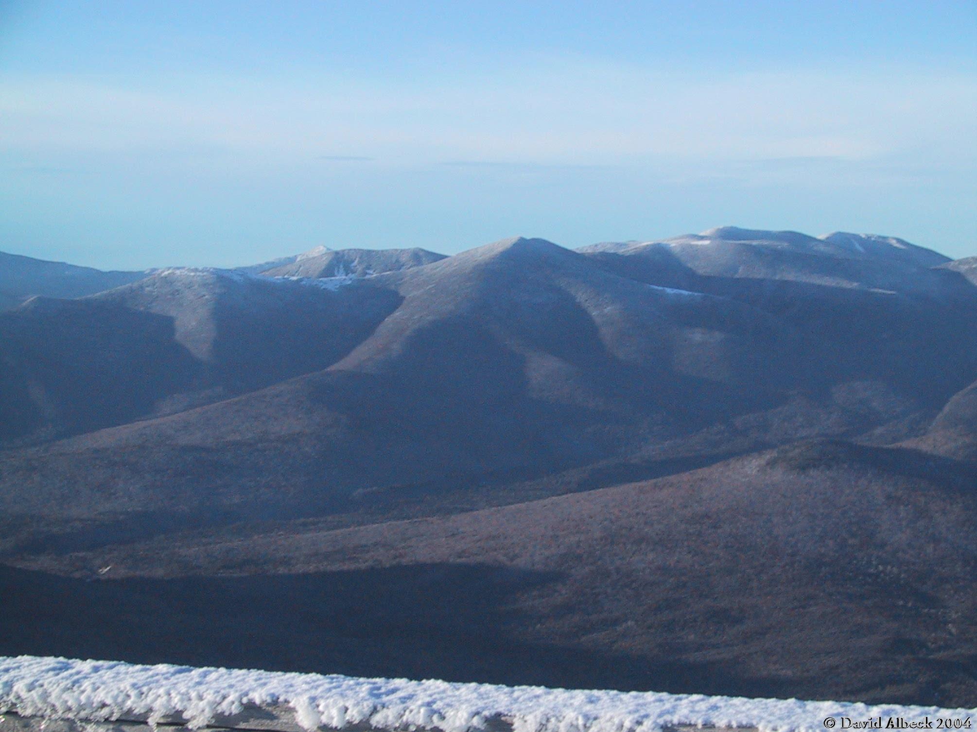
View west. |
|
|
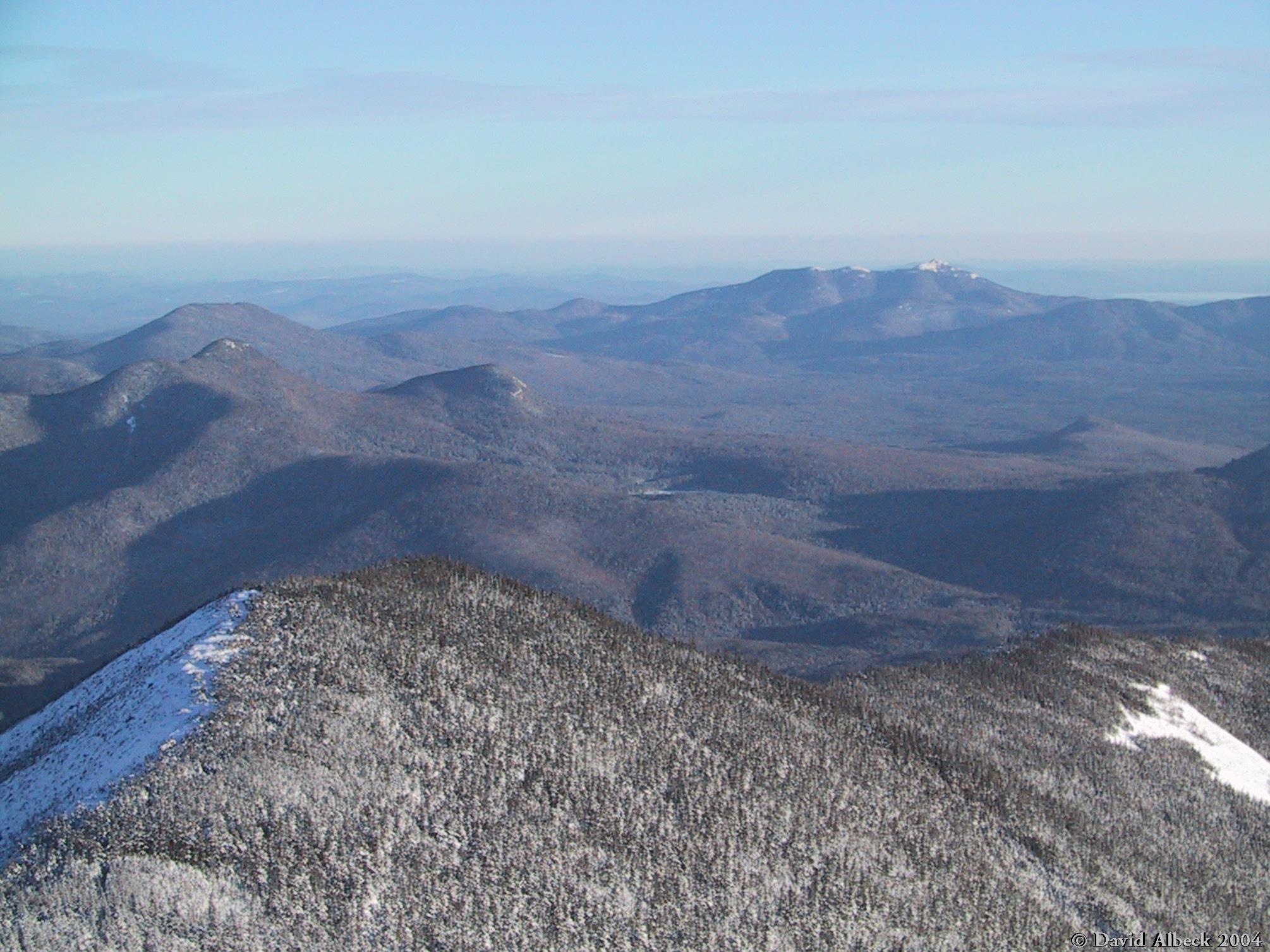
View southeast. Signal Ridge in foreground, Mt Tremond at middle left. |
|
|
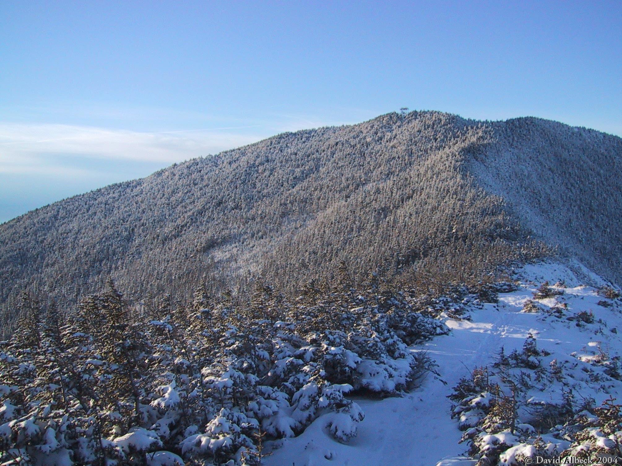
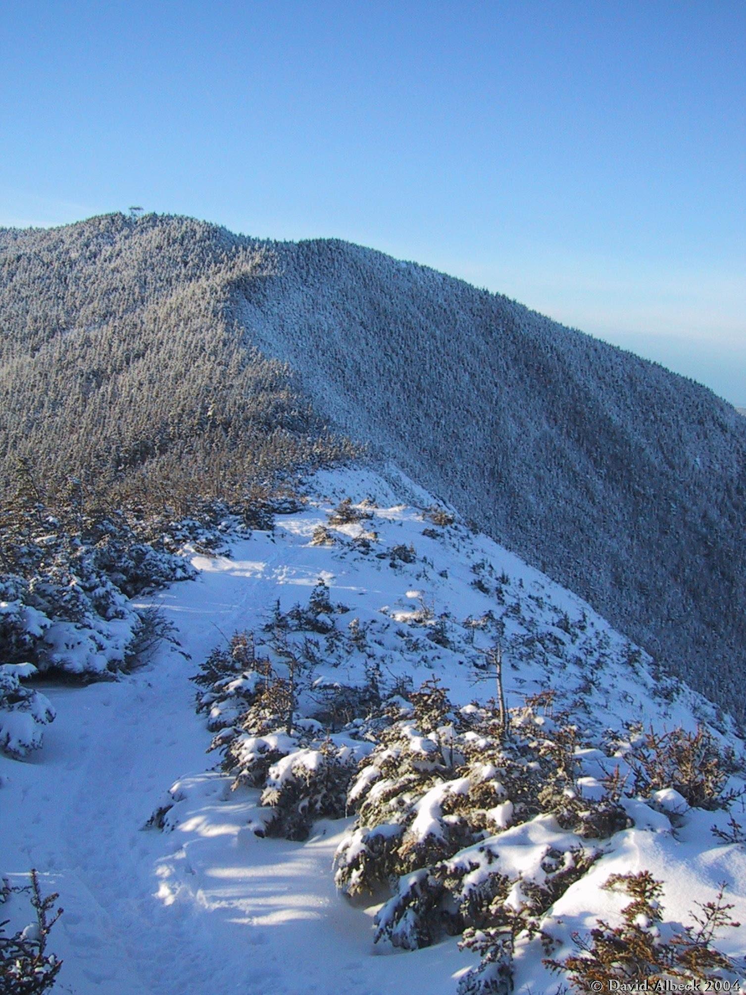
The summit from Signal Ridge. |
|
|
Another shot of the summit. |
|
|
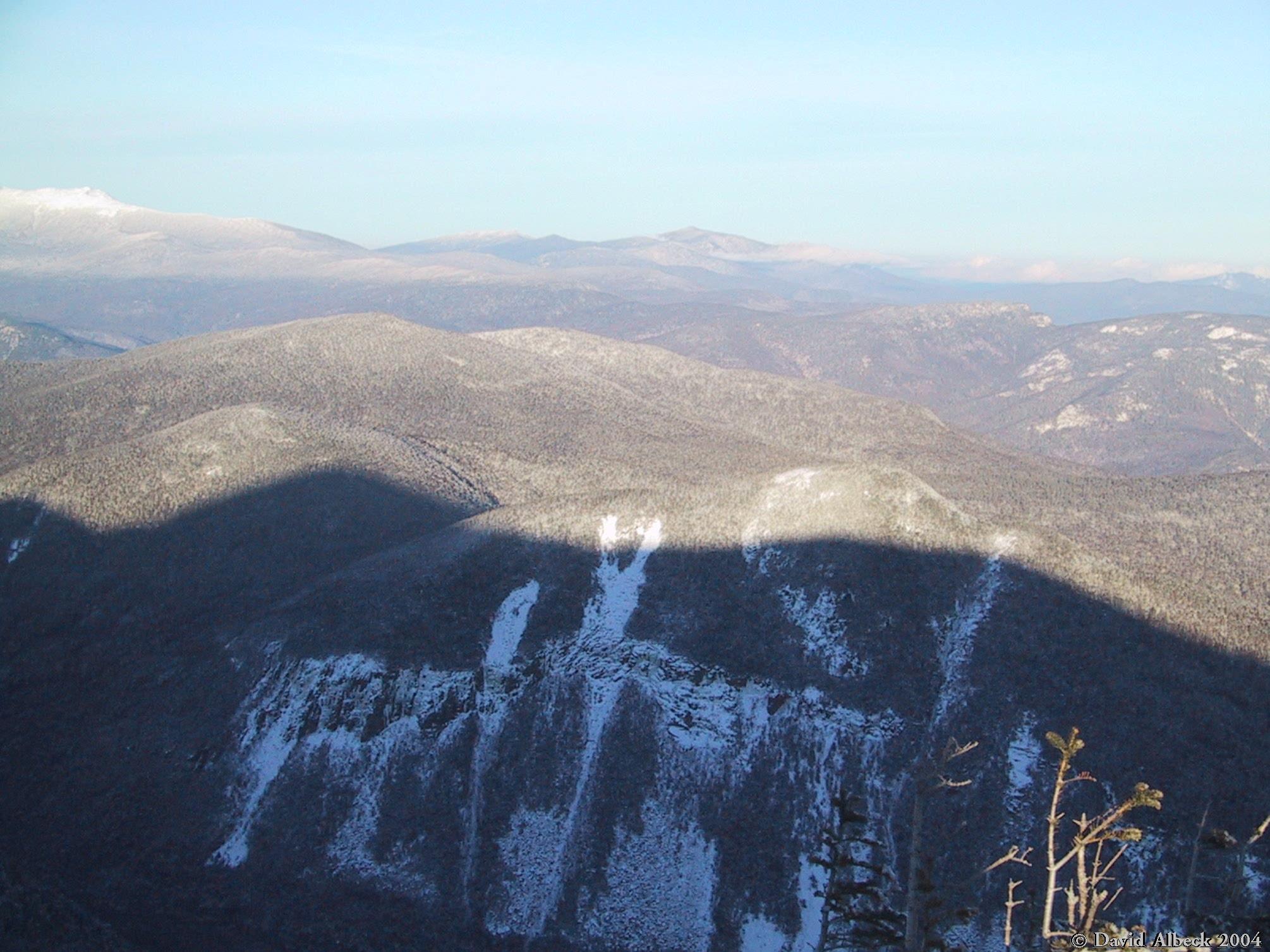
Carrigain's shadow covers Carrigain Notch. |
|
|
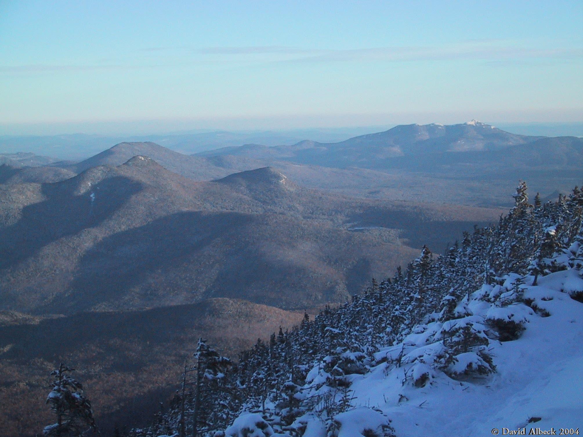
Vose Spur seen from Signal Ridge. |
|
|
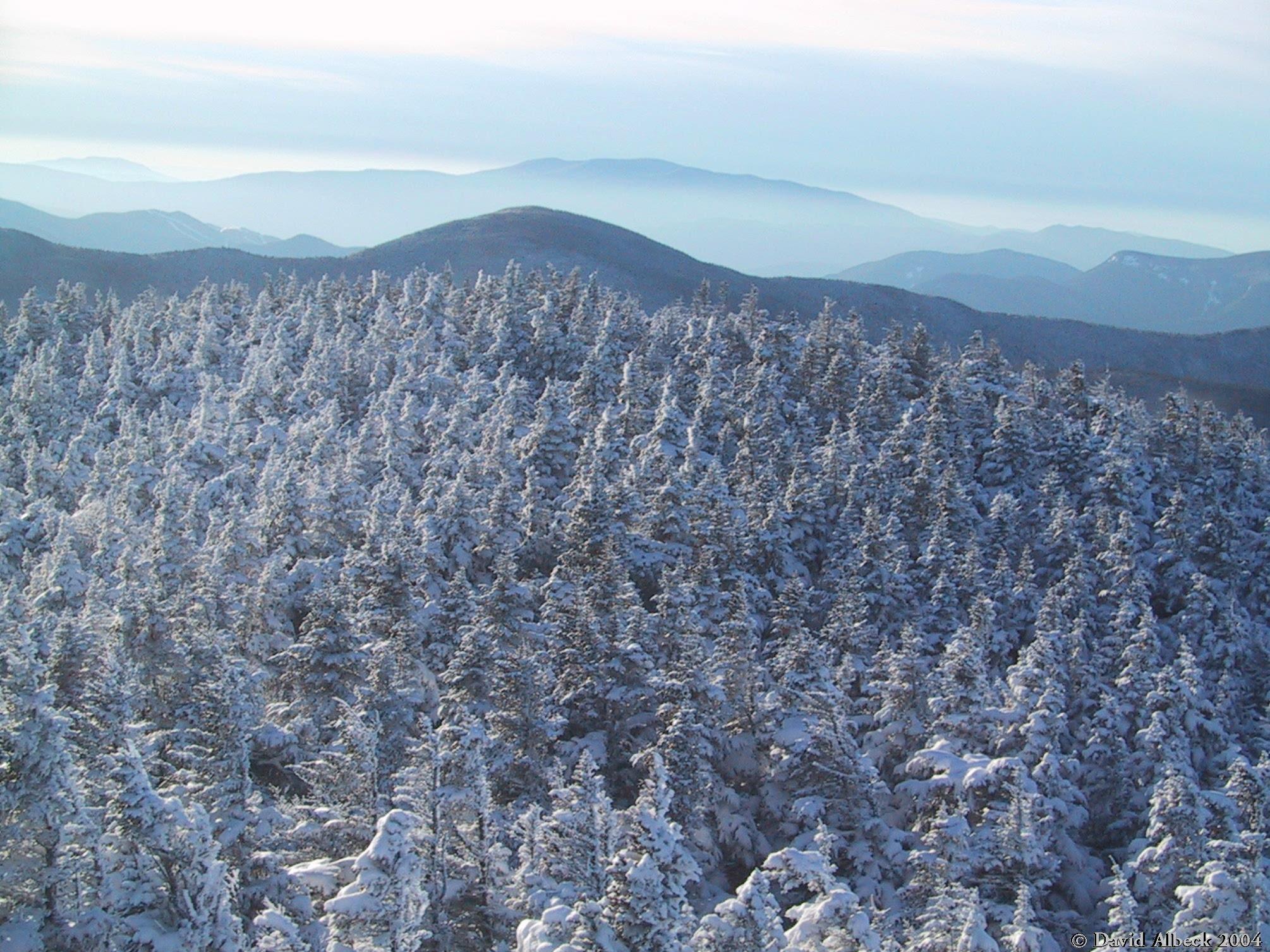
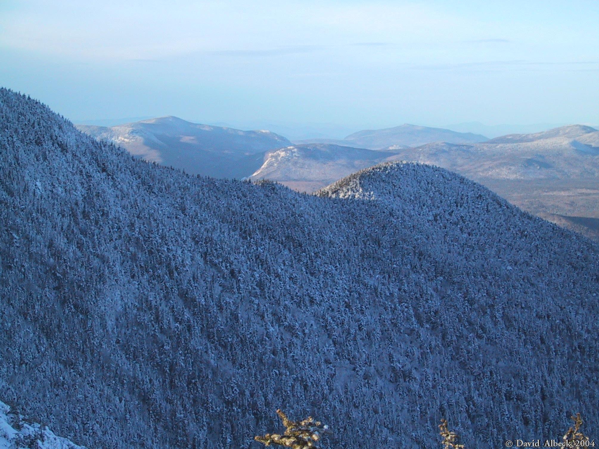
More of the view from Signal Ridge. |
|
|
Descending into the shadow cast by the lowering sun. |
|
|
Last view before sunset. |