|
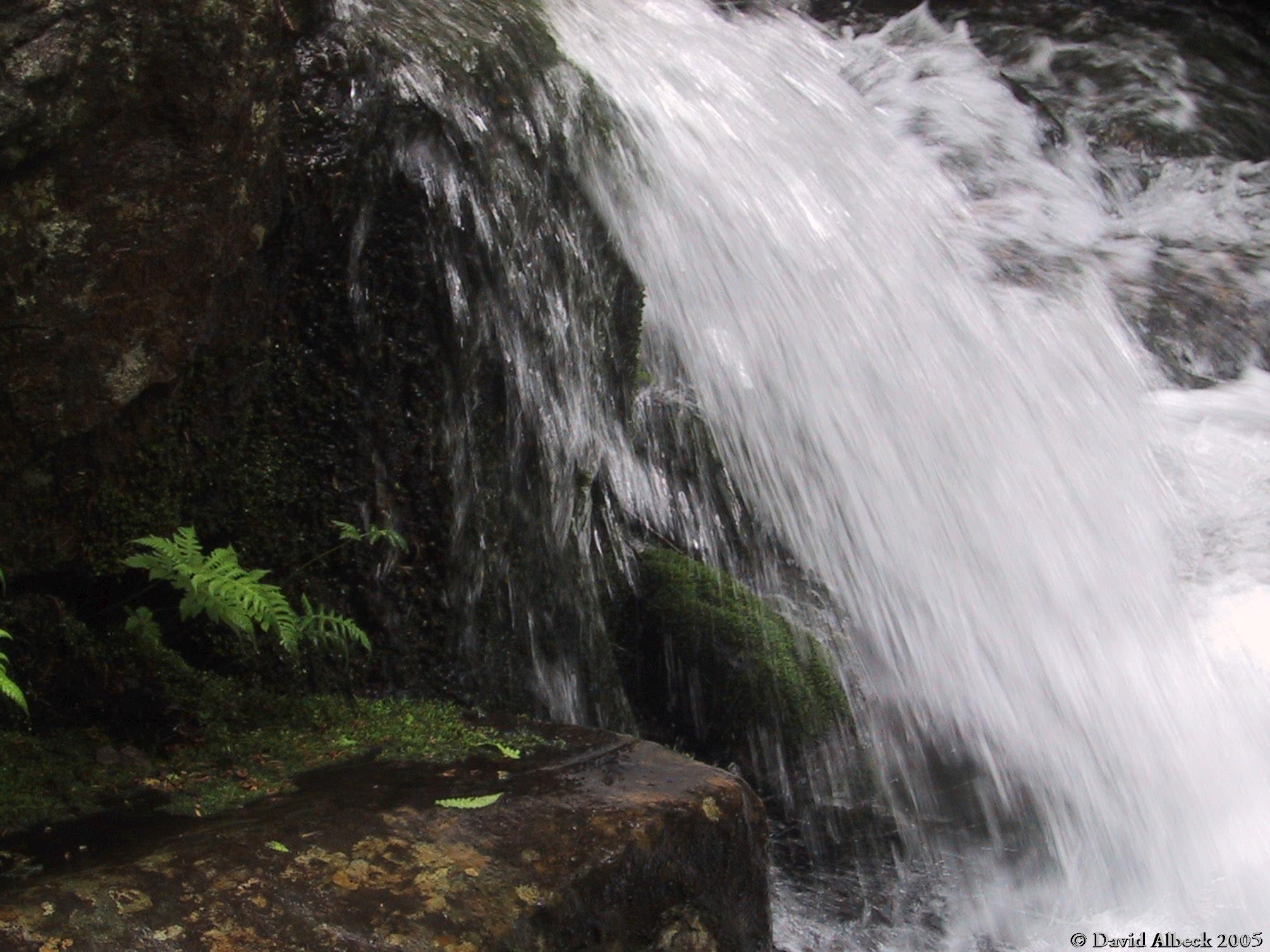
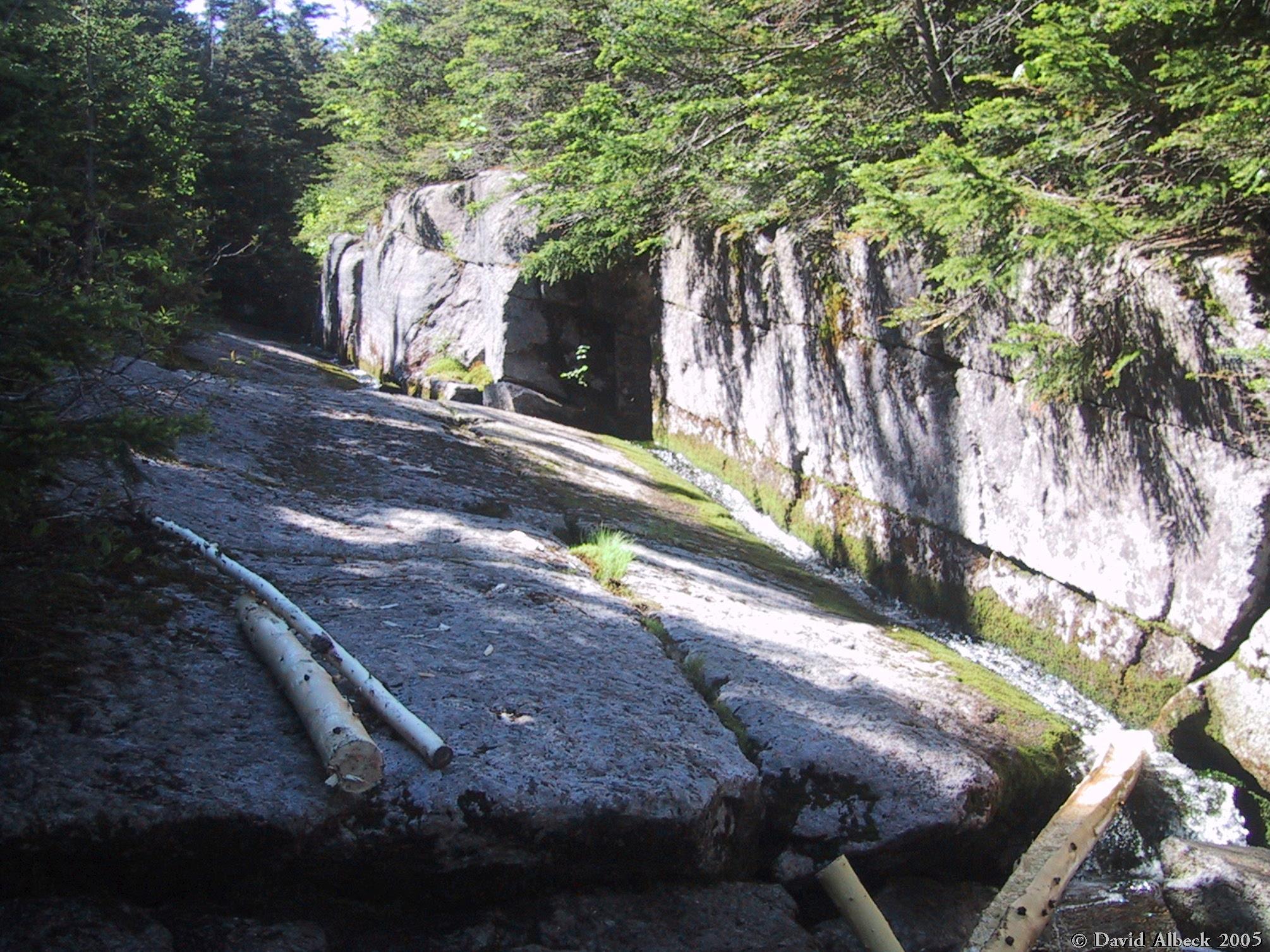
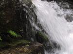
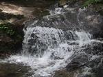
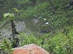
A small cascade along Nineteen Mile Brook.
|
|
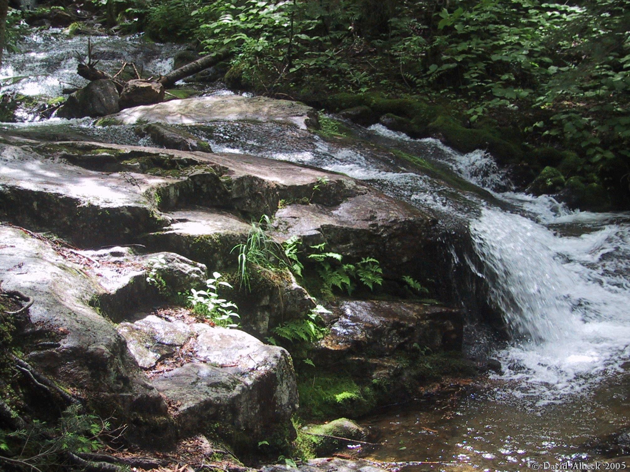
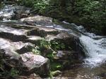
Same stream, slightly higher.
|
|
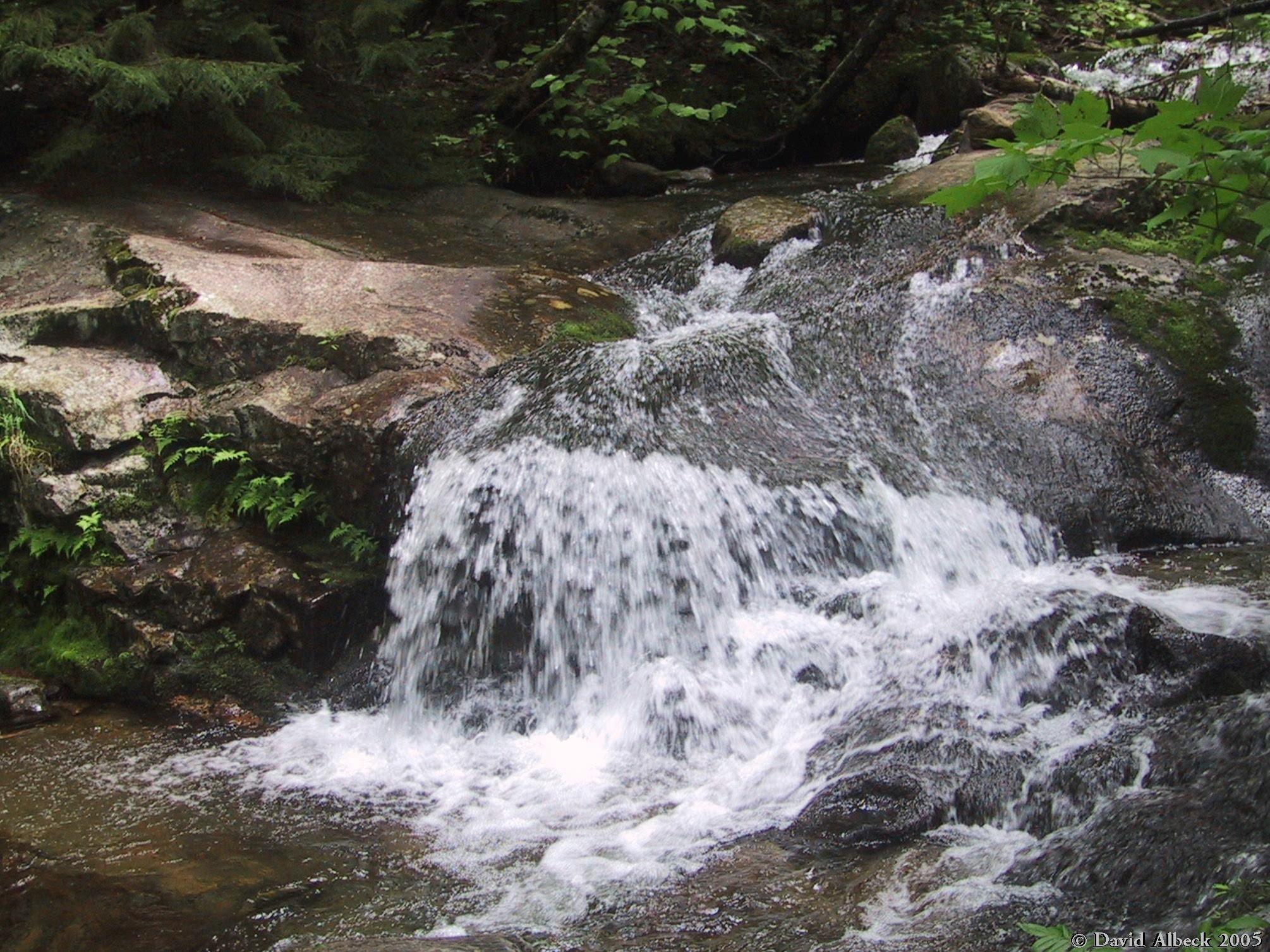
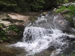
Same falls, different angle.
|
|
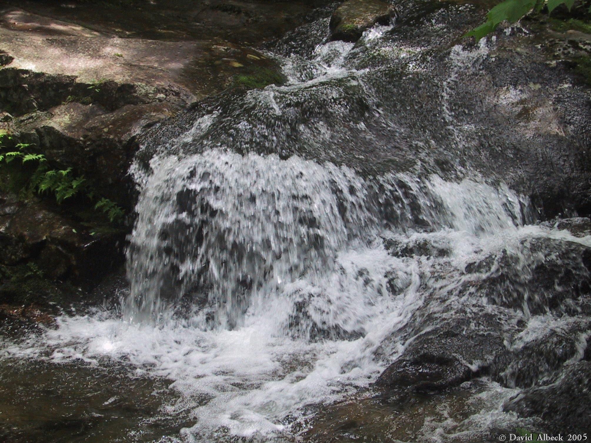
A final close-up.
|
|
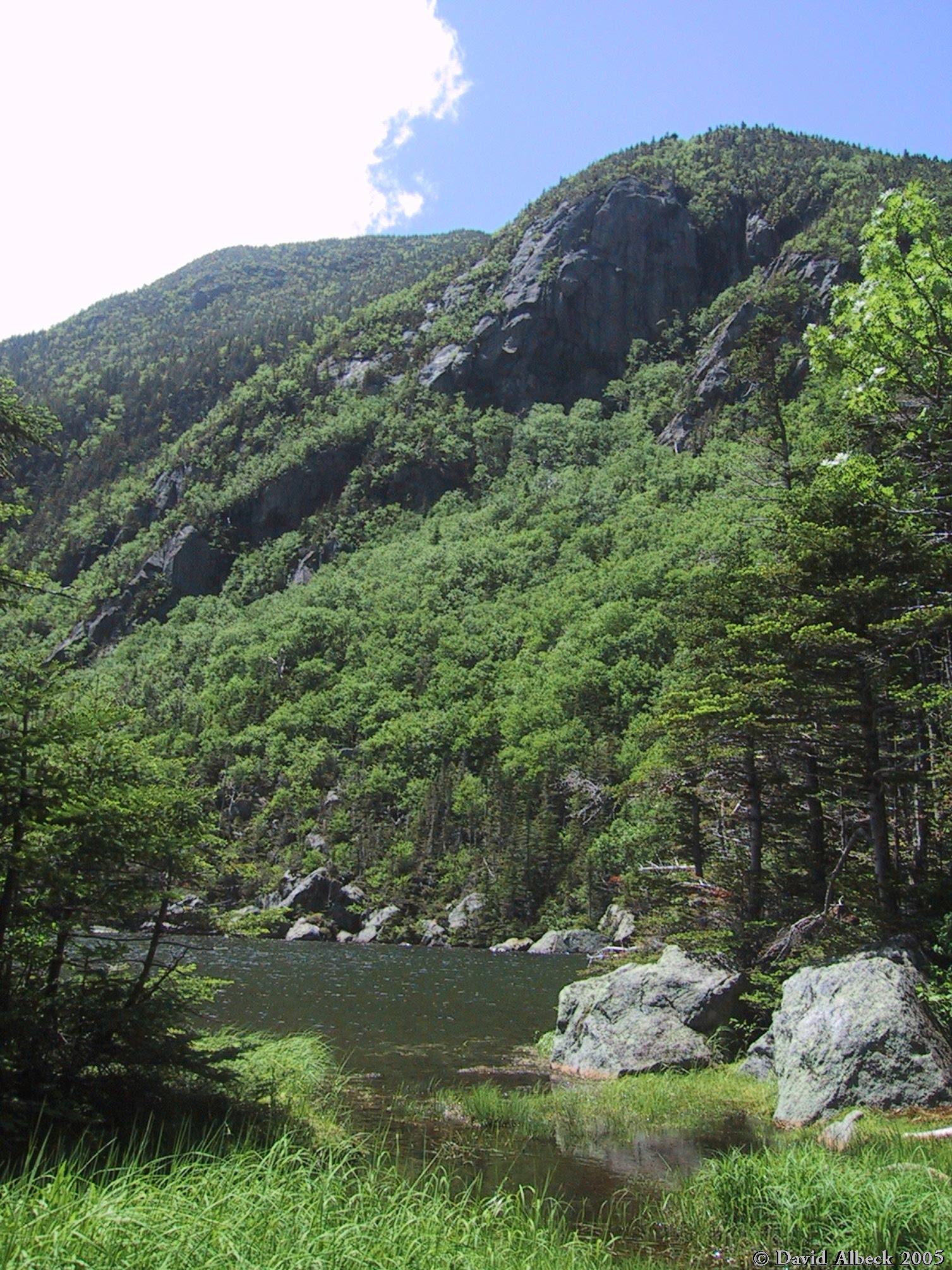
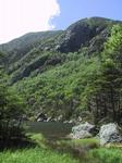
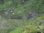
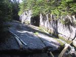
One of the lakes in Carter Notch, and Peak A of Wildcat Mountain behind it.
|
|
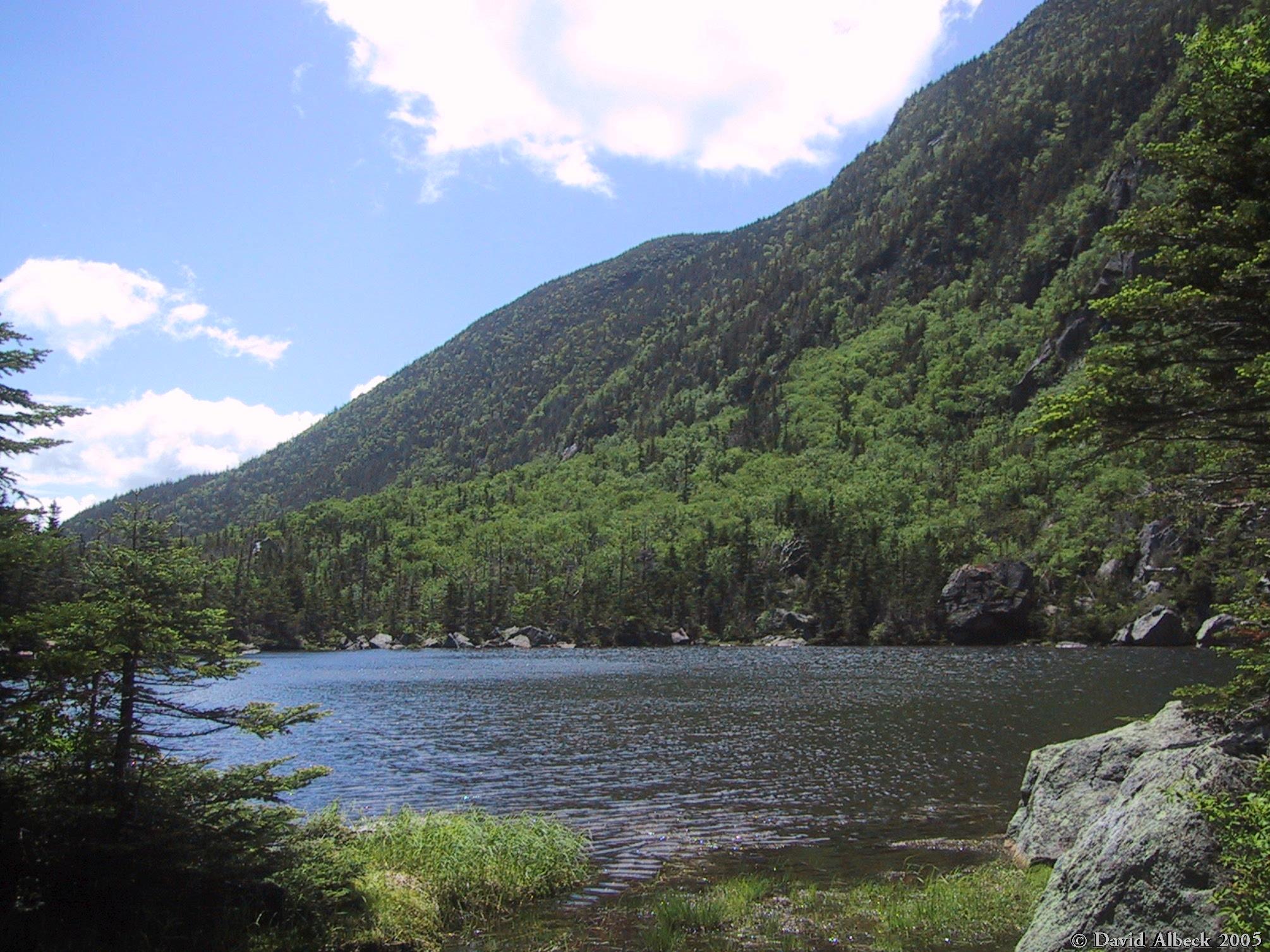
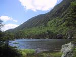
Another view of the lake.
|
|
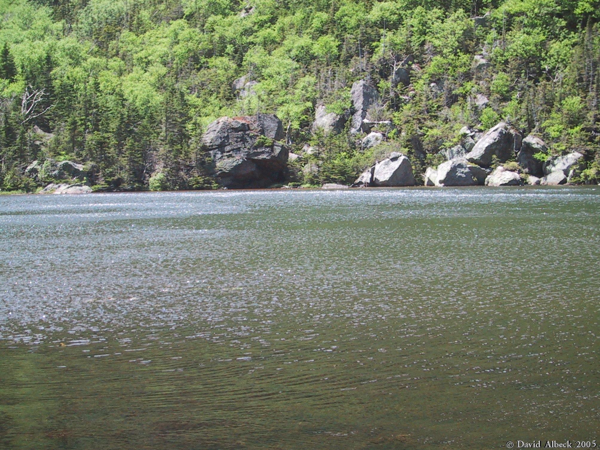
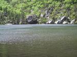
Close-up of the far shore: the lake formed when falling boulders dammed the valley.
|
|
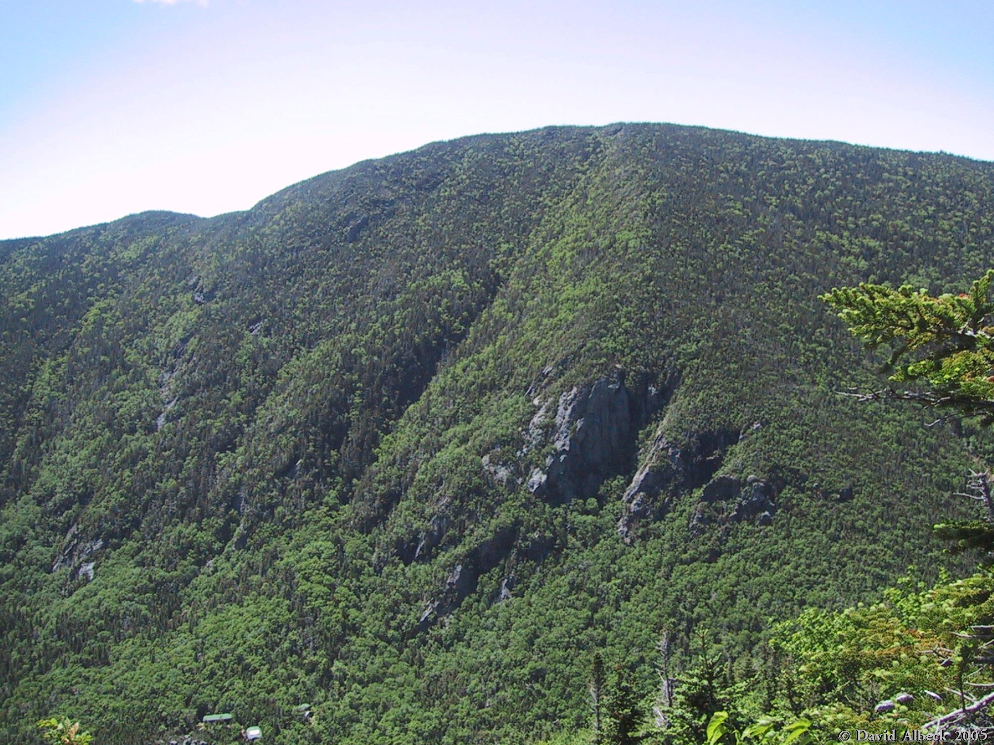
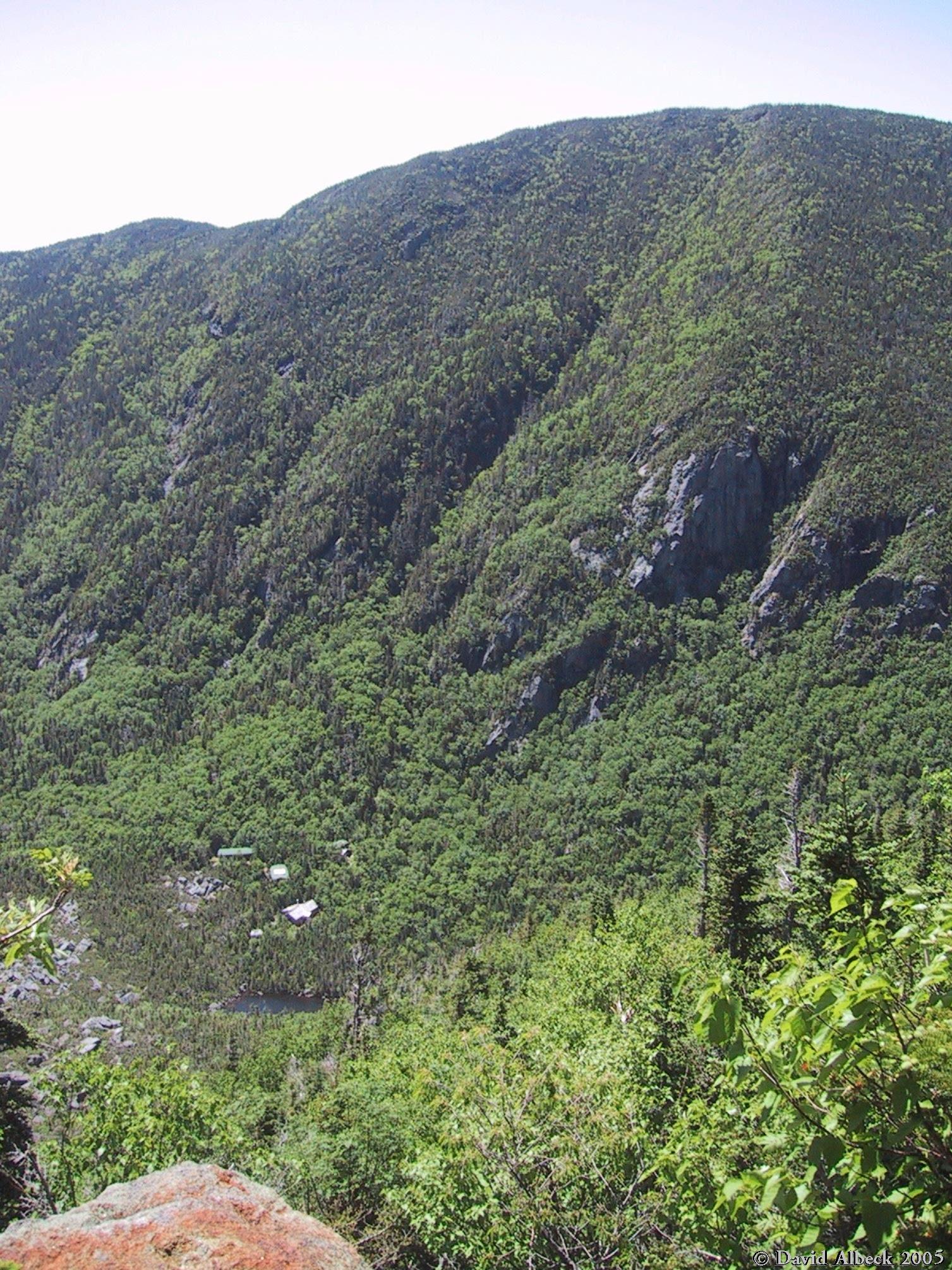
View down to Carter Notch Hut and the other lake, from up on the north side of Carter Notch
a few minutes later.
|
|
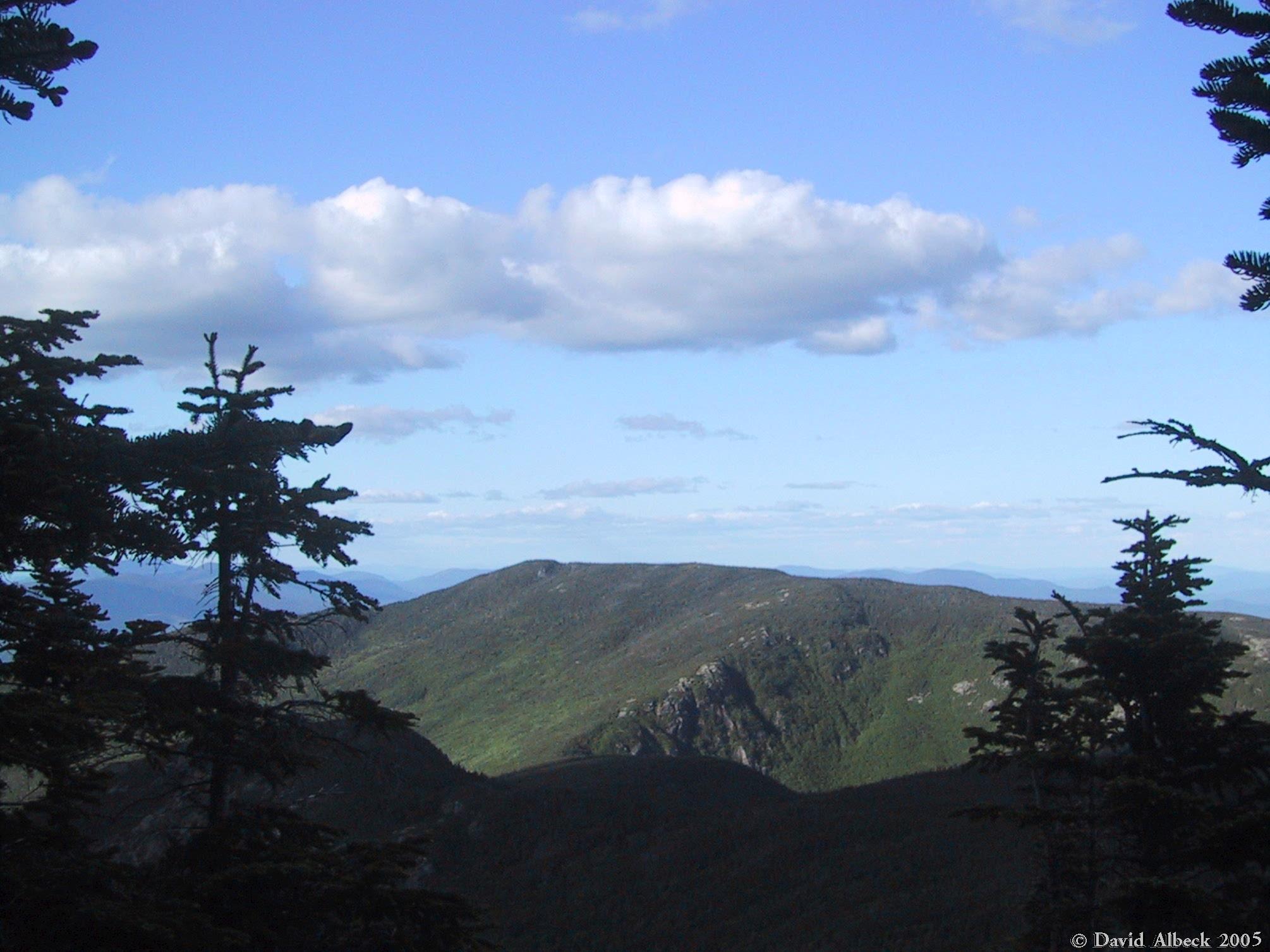
View across the notch to Wildcat's Peak A.
|
|
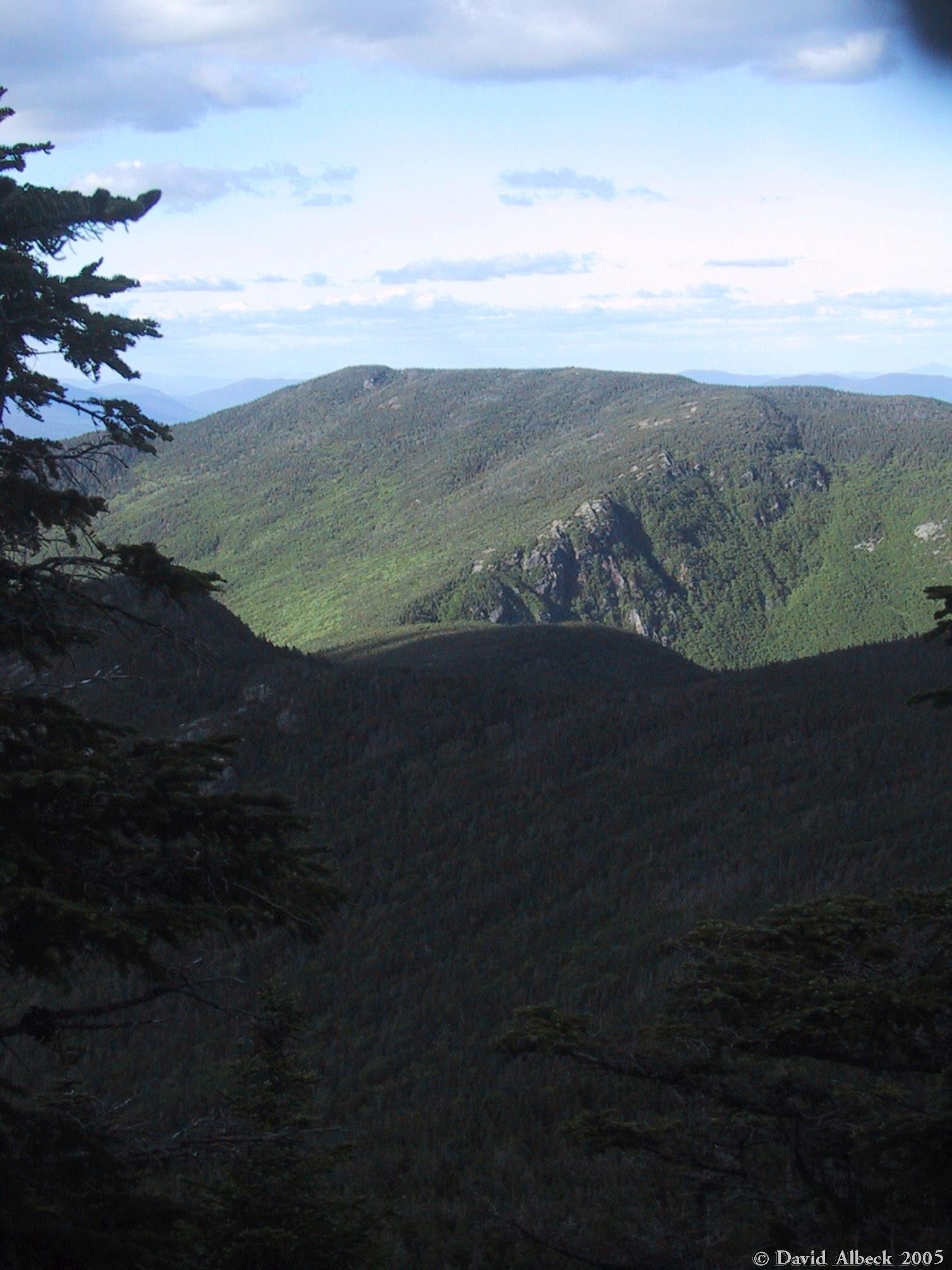
Still in the same spot, a view showing Peak A, the hut, and one lake.
|
|
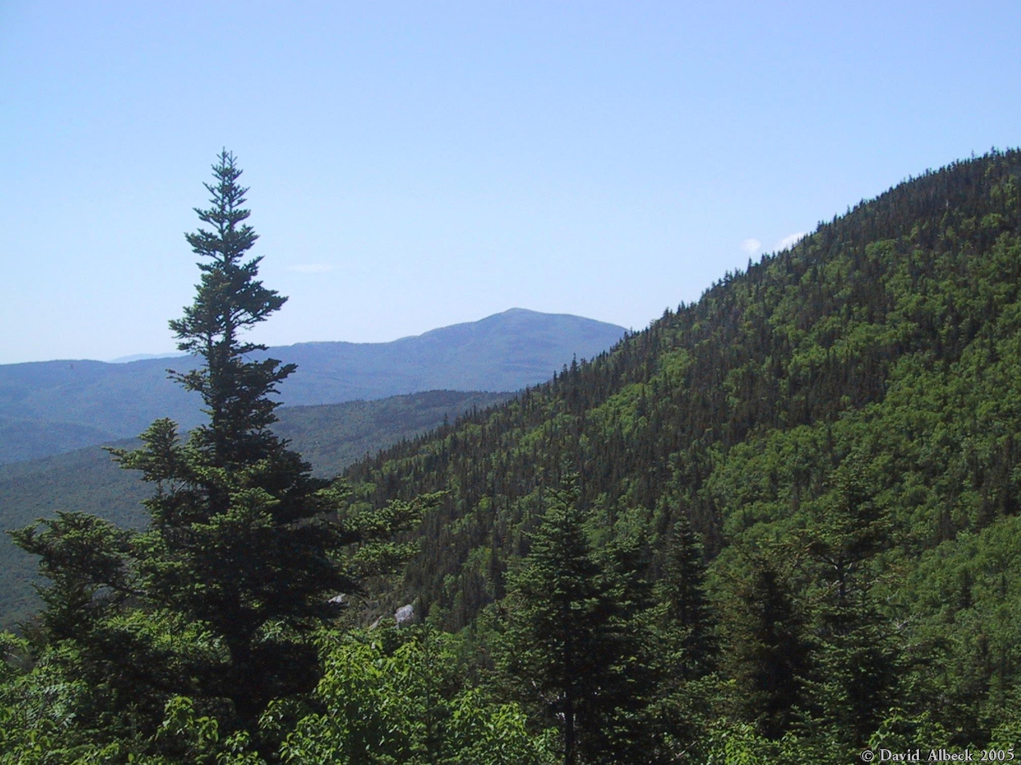
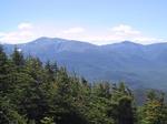
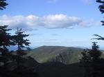
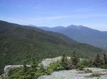
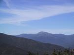
View northwestward: Mounts Jefferson and Adams.
|
|
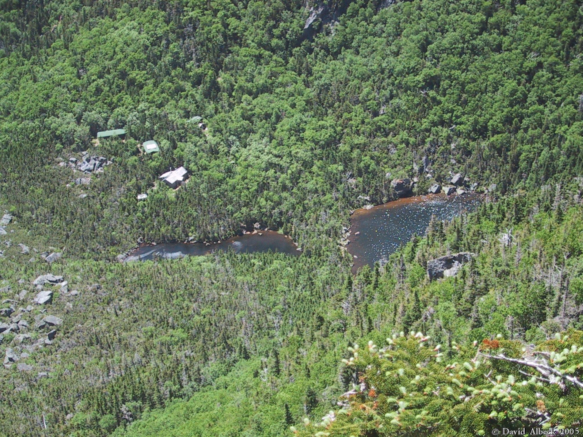
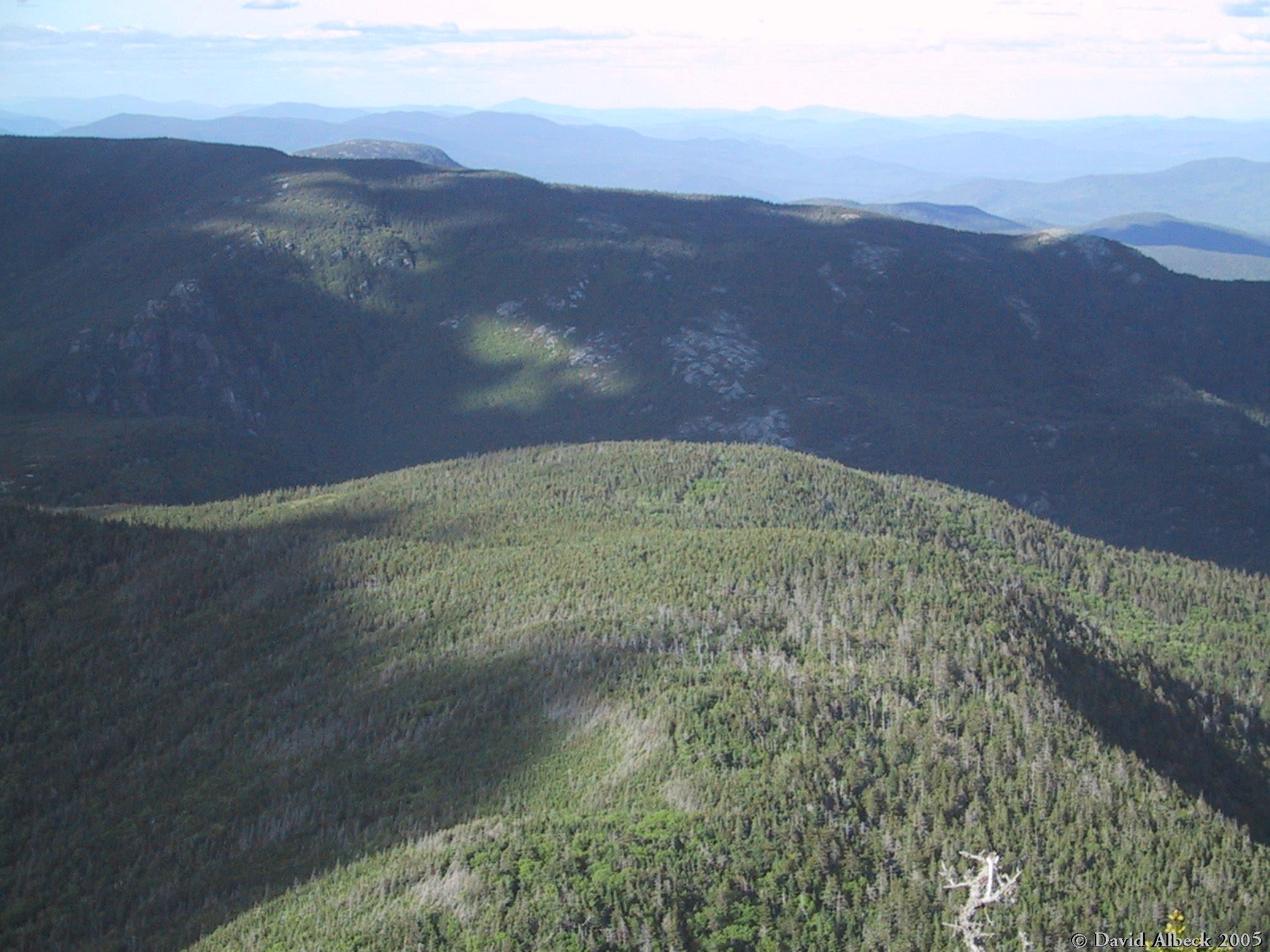
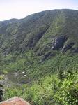
View down into the notch, showing both lakes and the hut.
|
|
House-sized boulder waiting to roll downslope toward the hut.
|
|
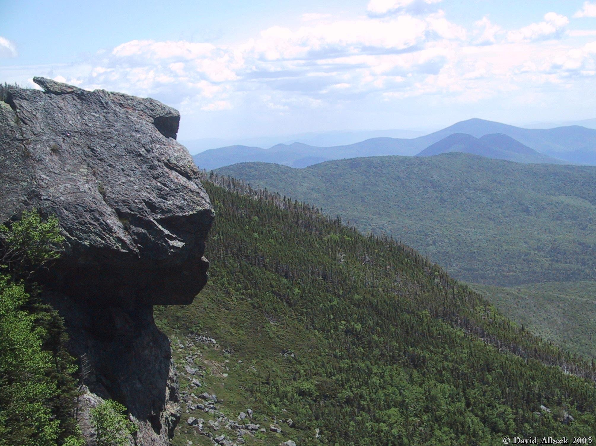
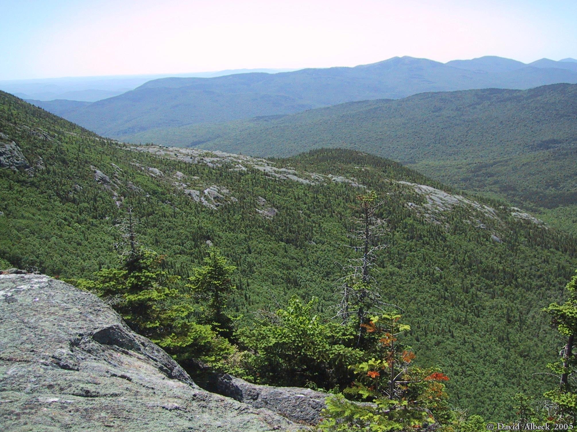
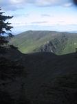
View southward.
|
|
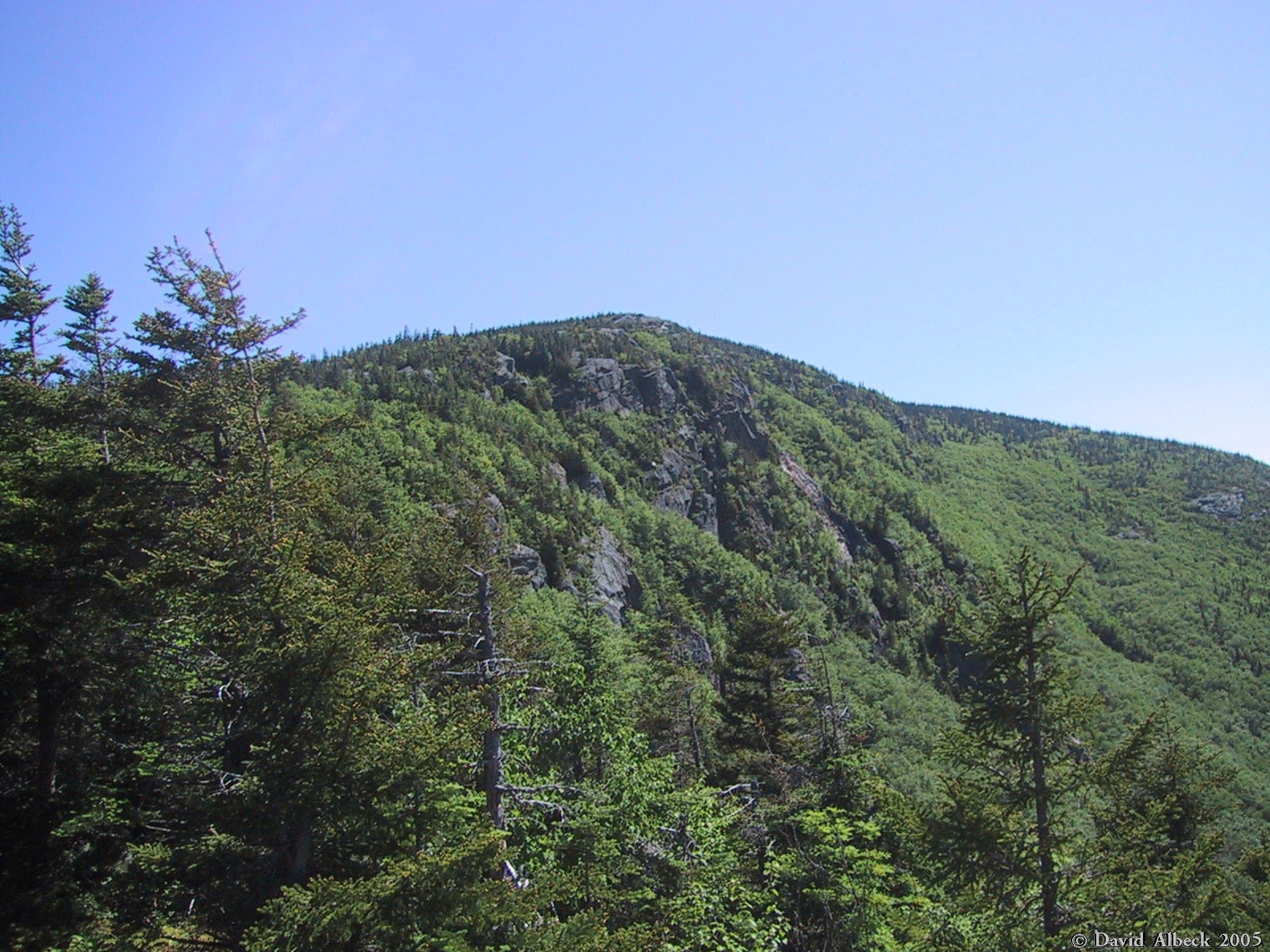
Summit of Carter Dome.
|
|
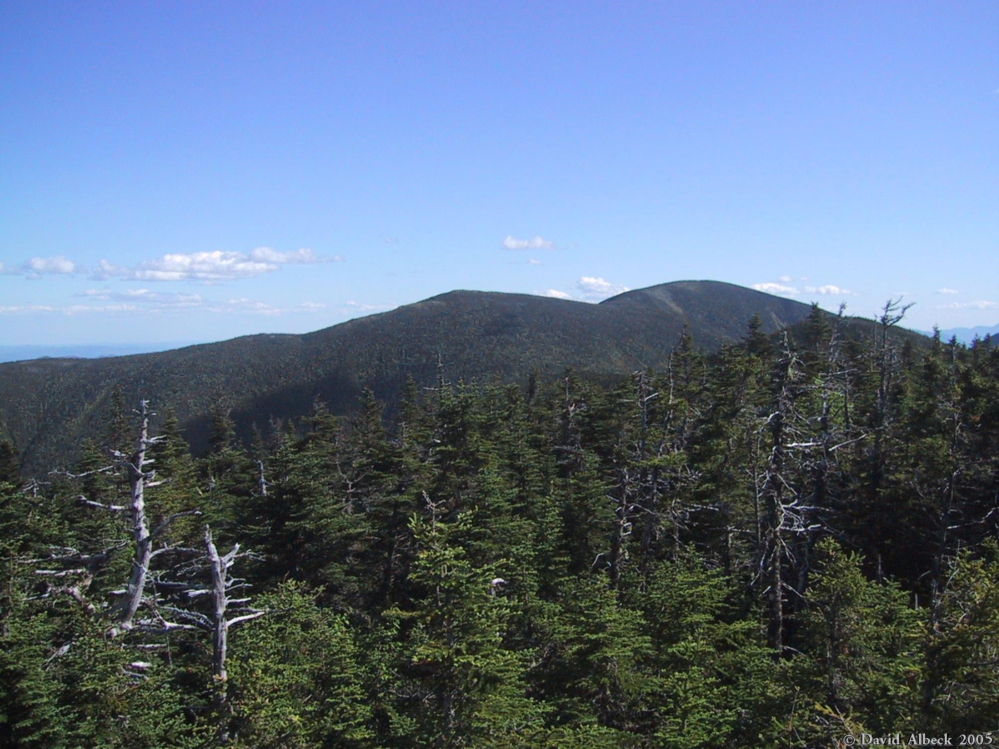
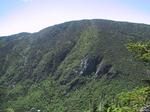
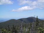
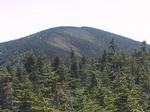
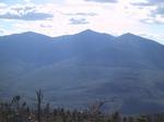
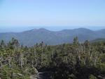
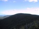
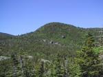
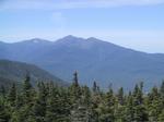
View of Mt Hight from Carter Dome.
|
|
From Carter Dome, view of South Carter, with Mt Moriah behind it on the right.
|
|
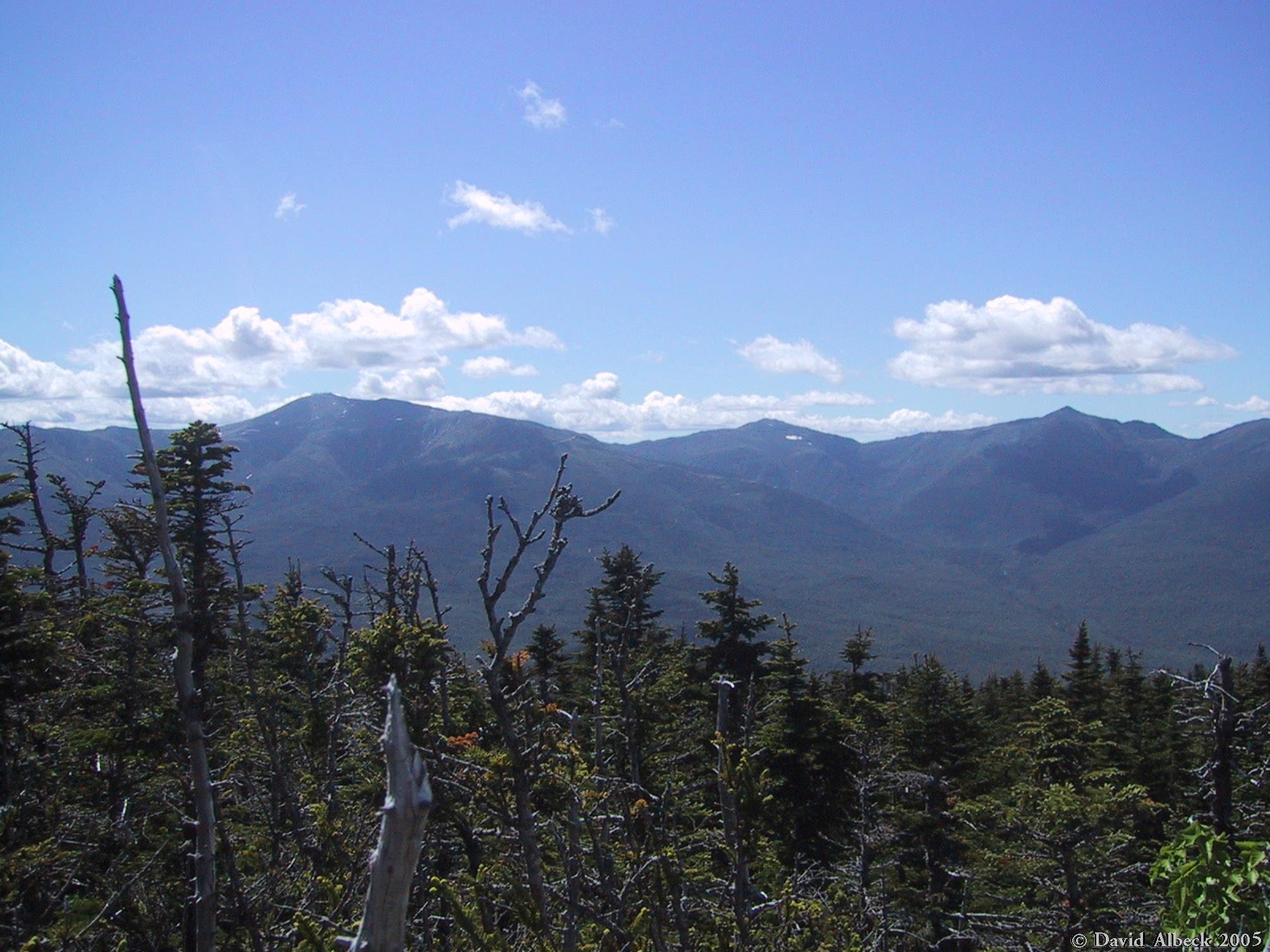
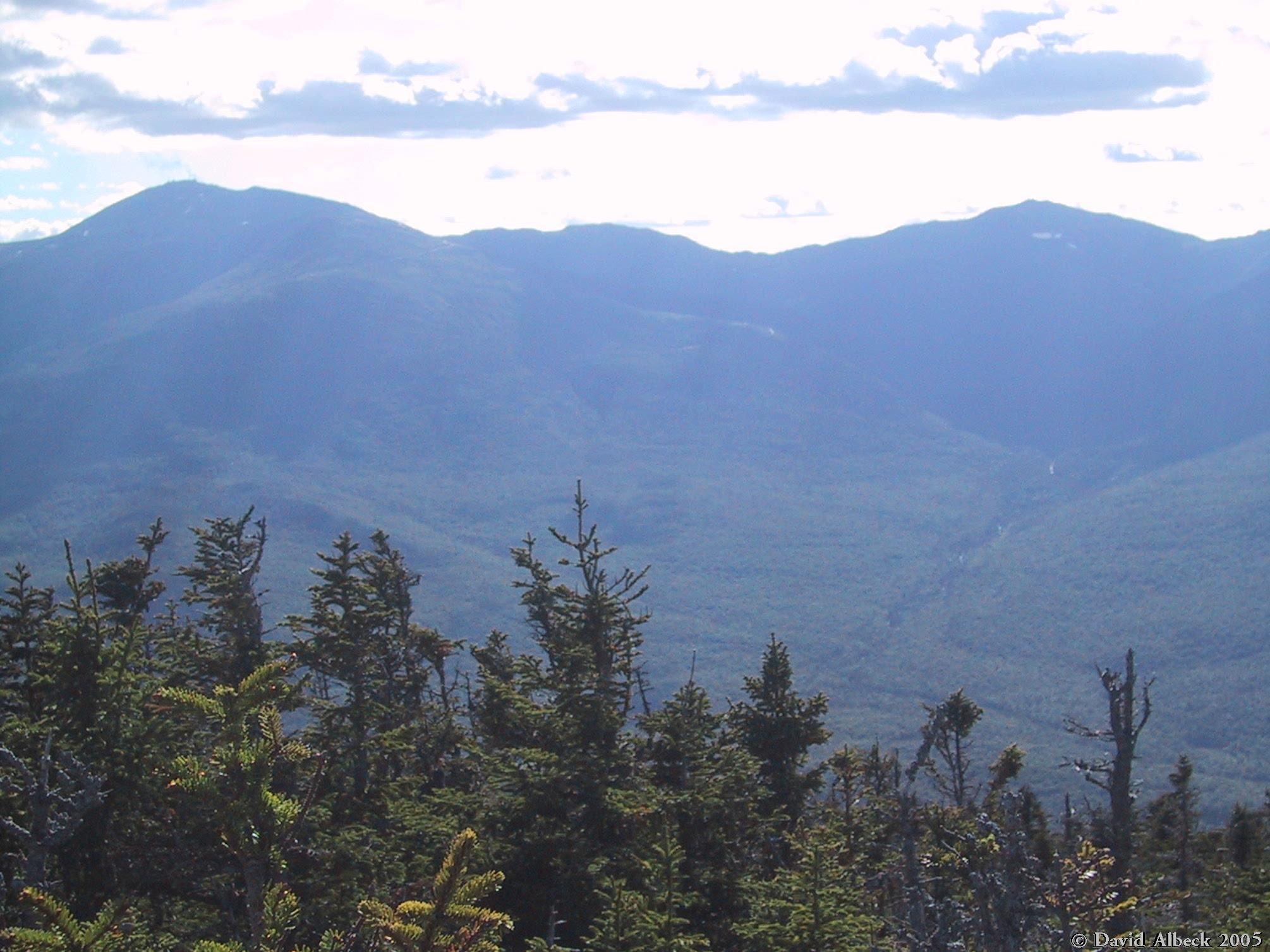
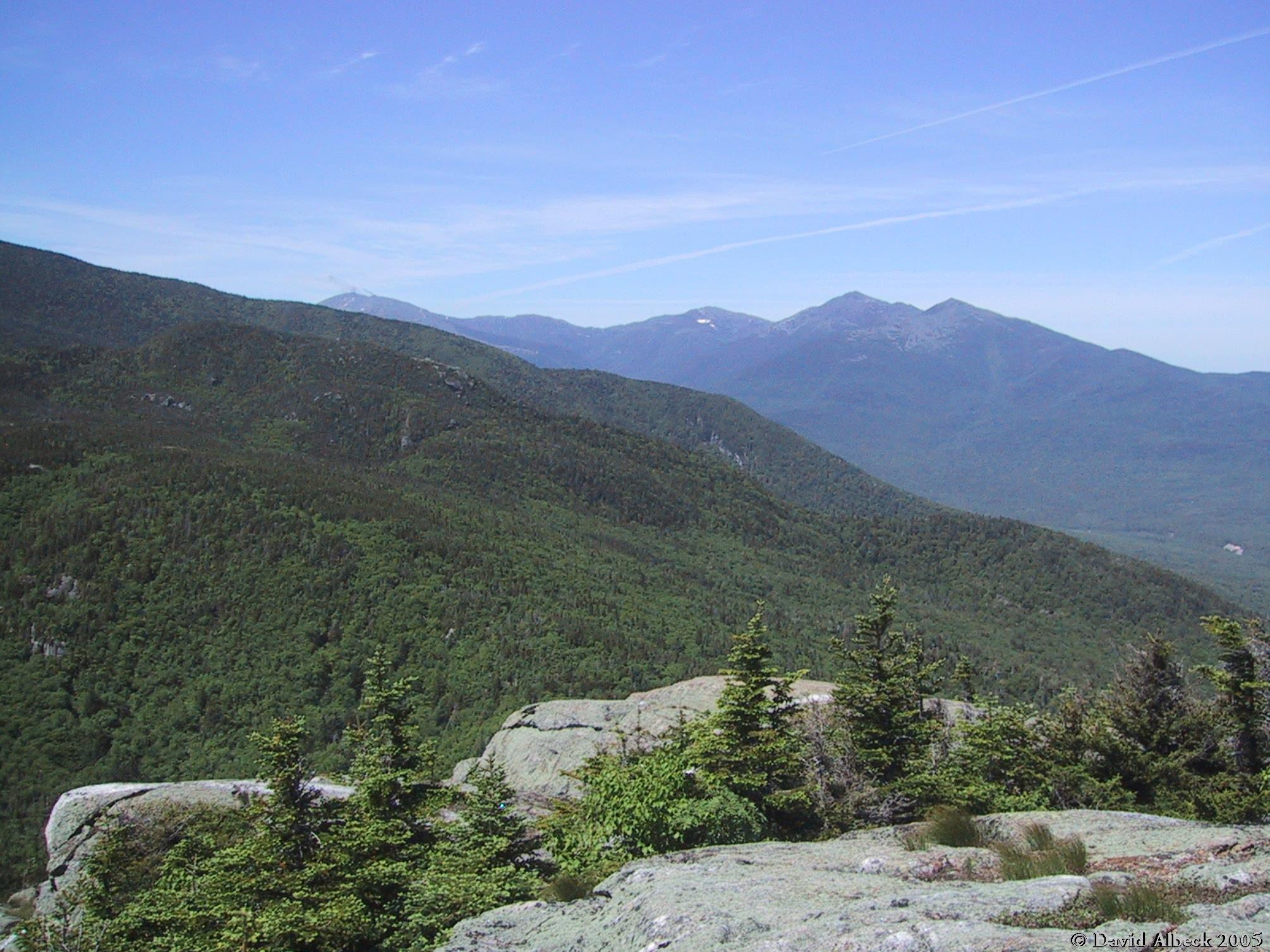
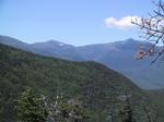
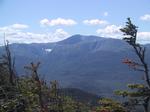
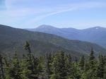
The north ridge of Carter Dome offers some views to the Presidential Range.
Here are Mts Adams and Madison.
|
|
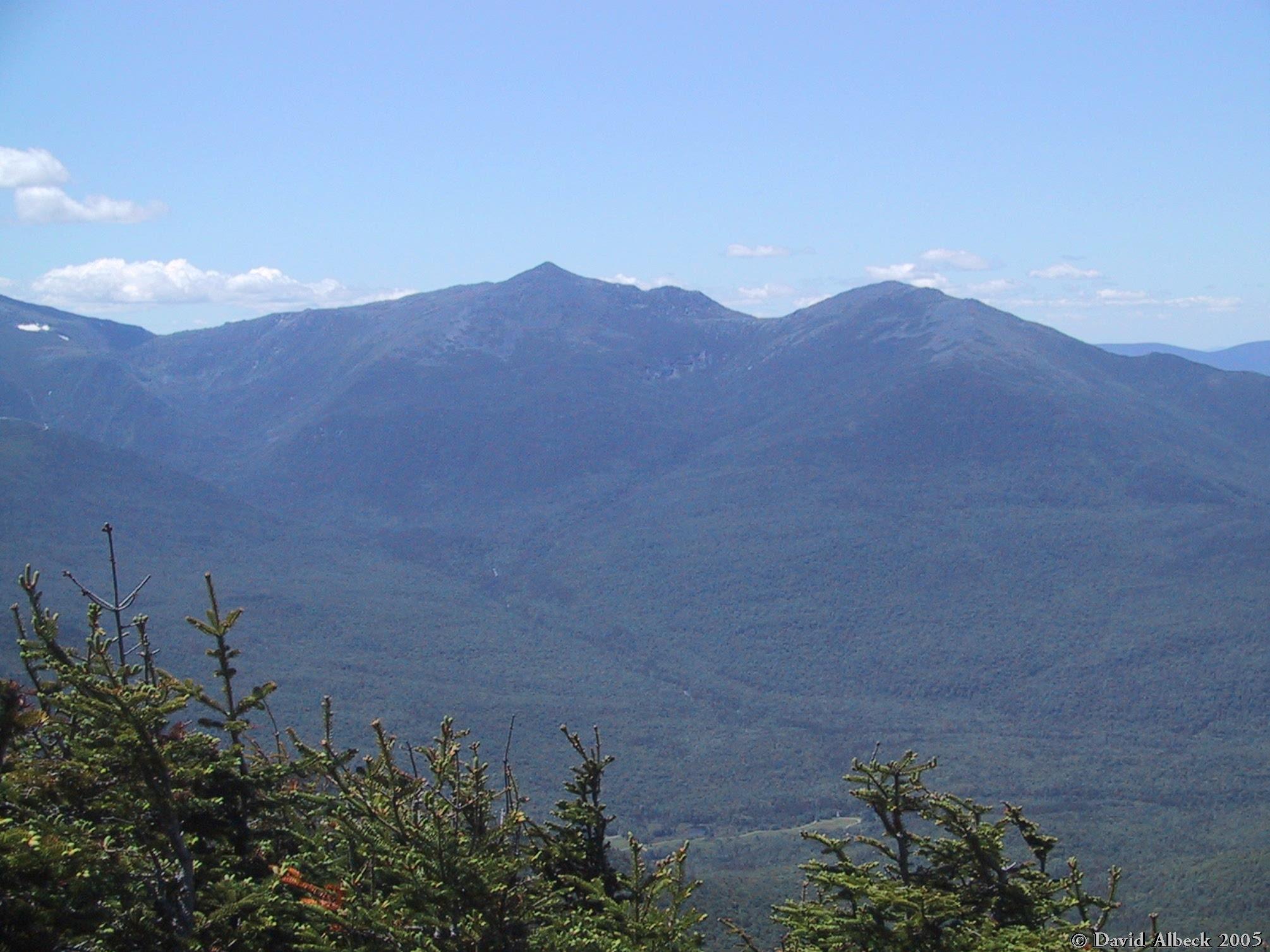
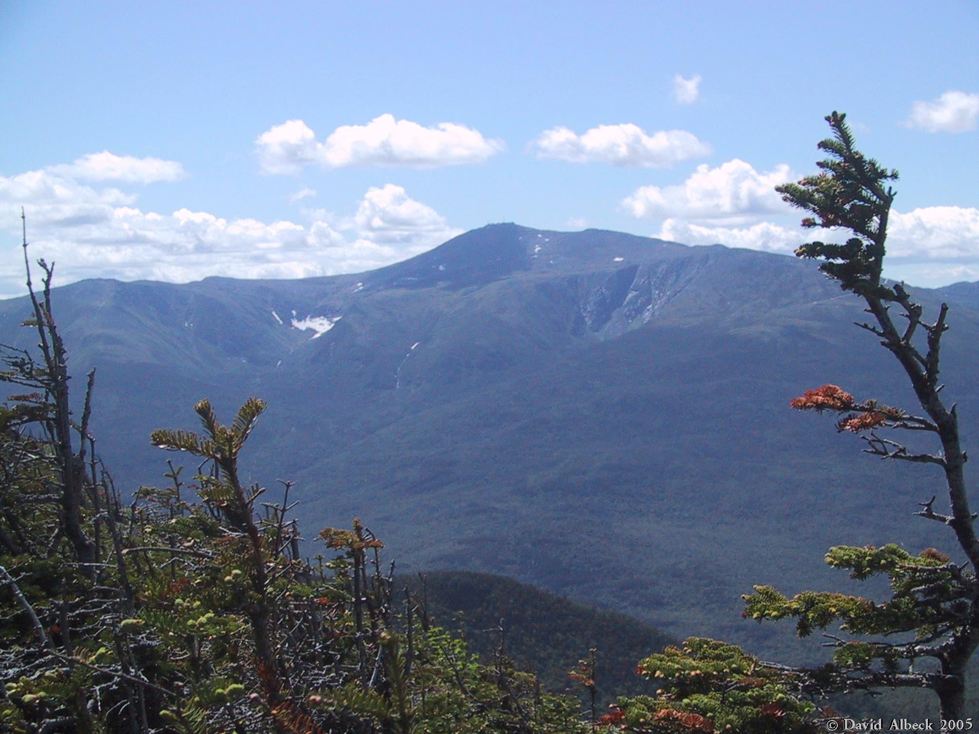
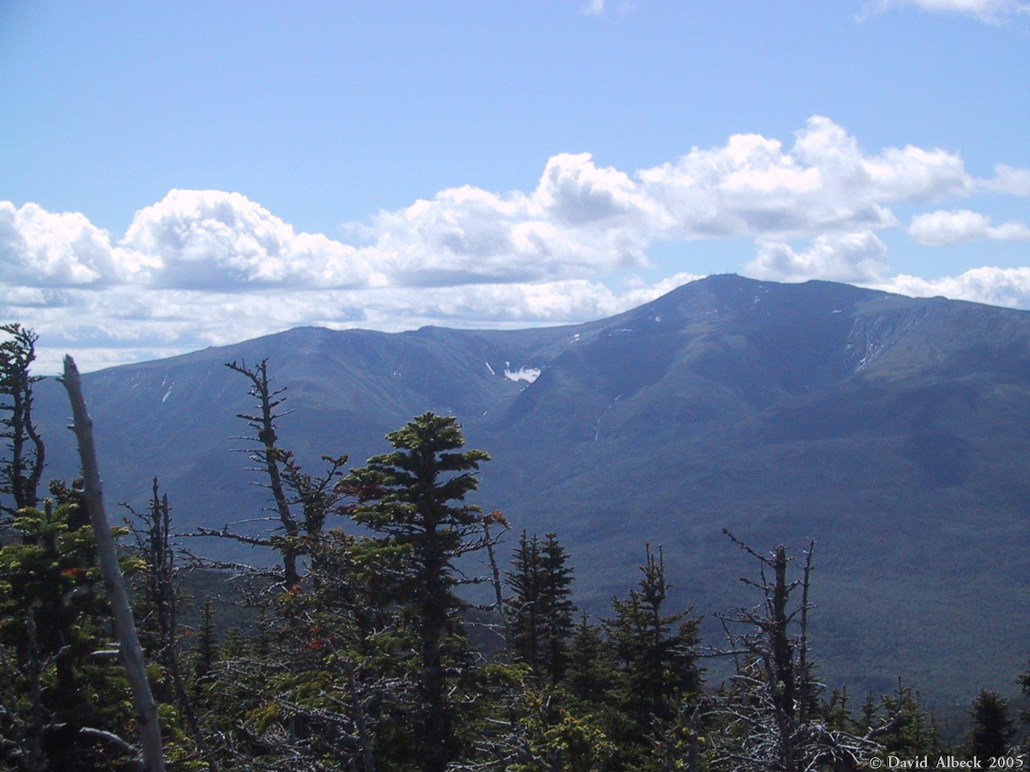
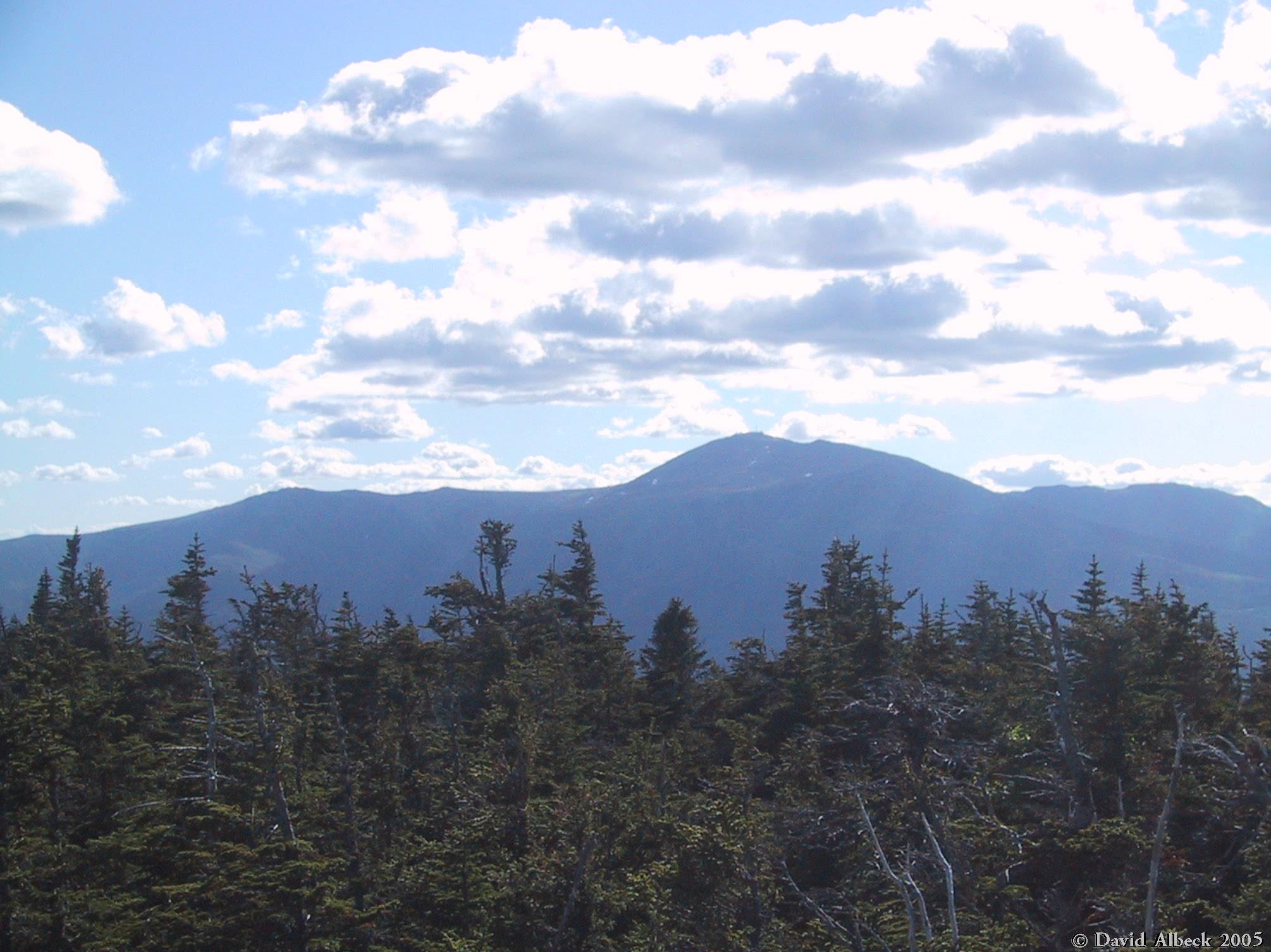
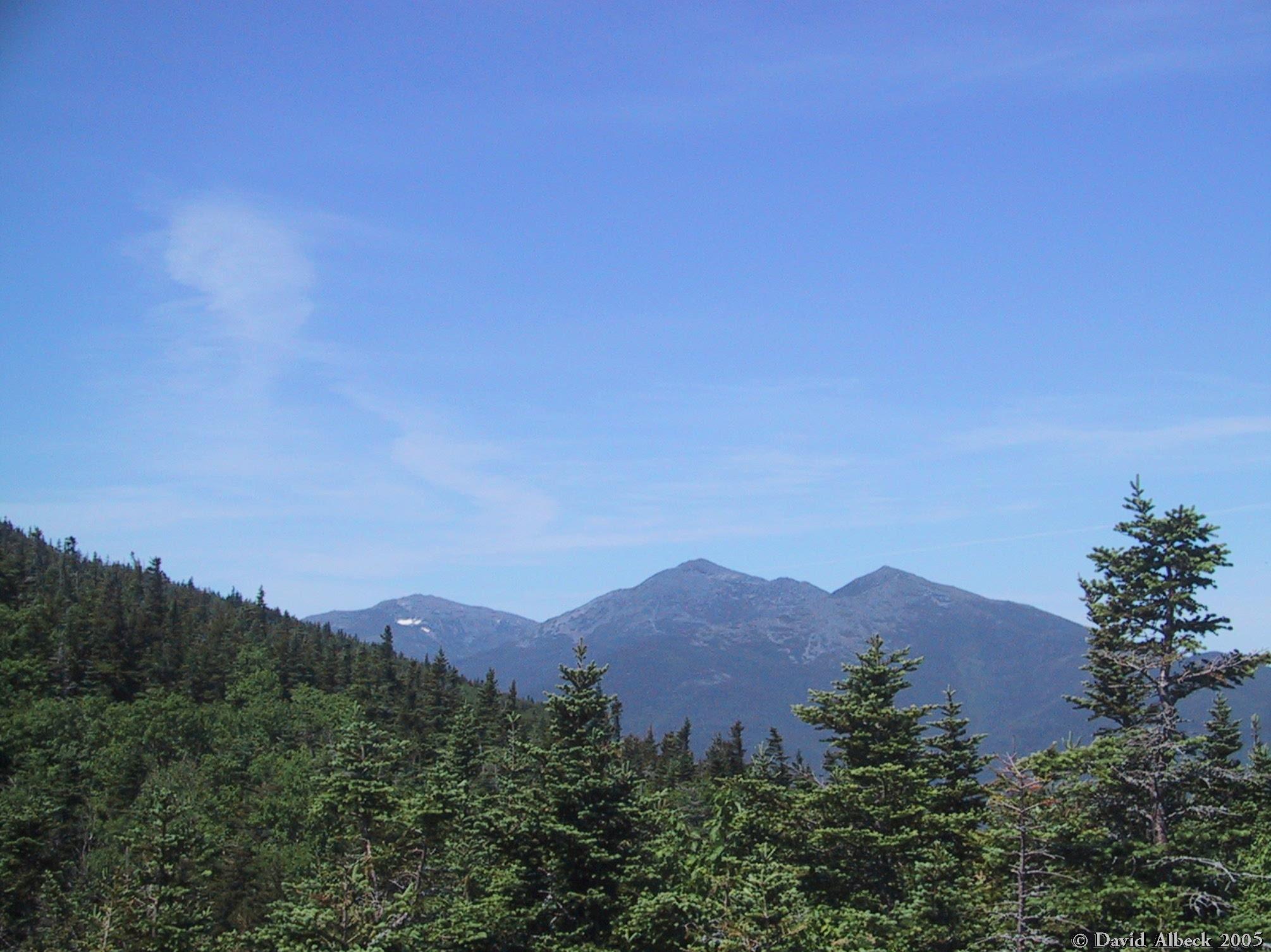
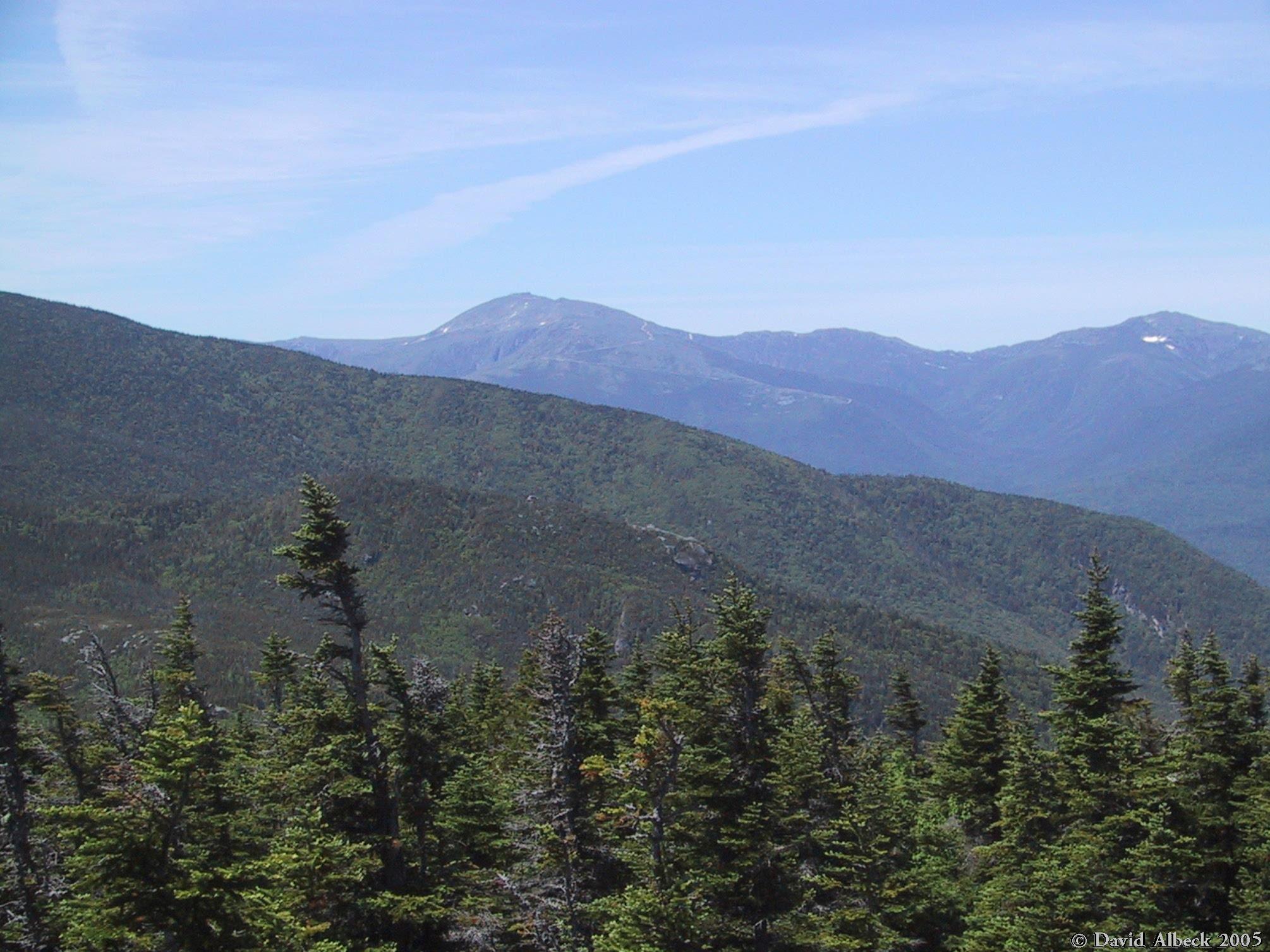
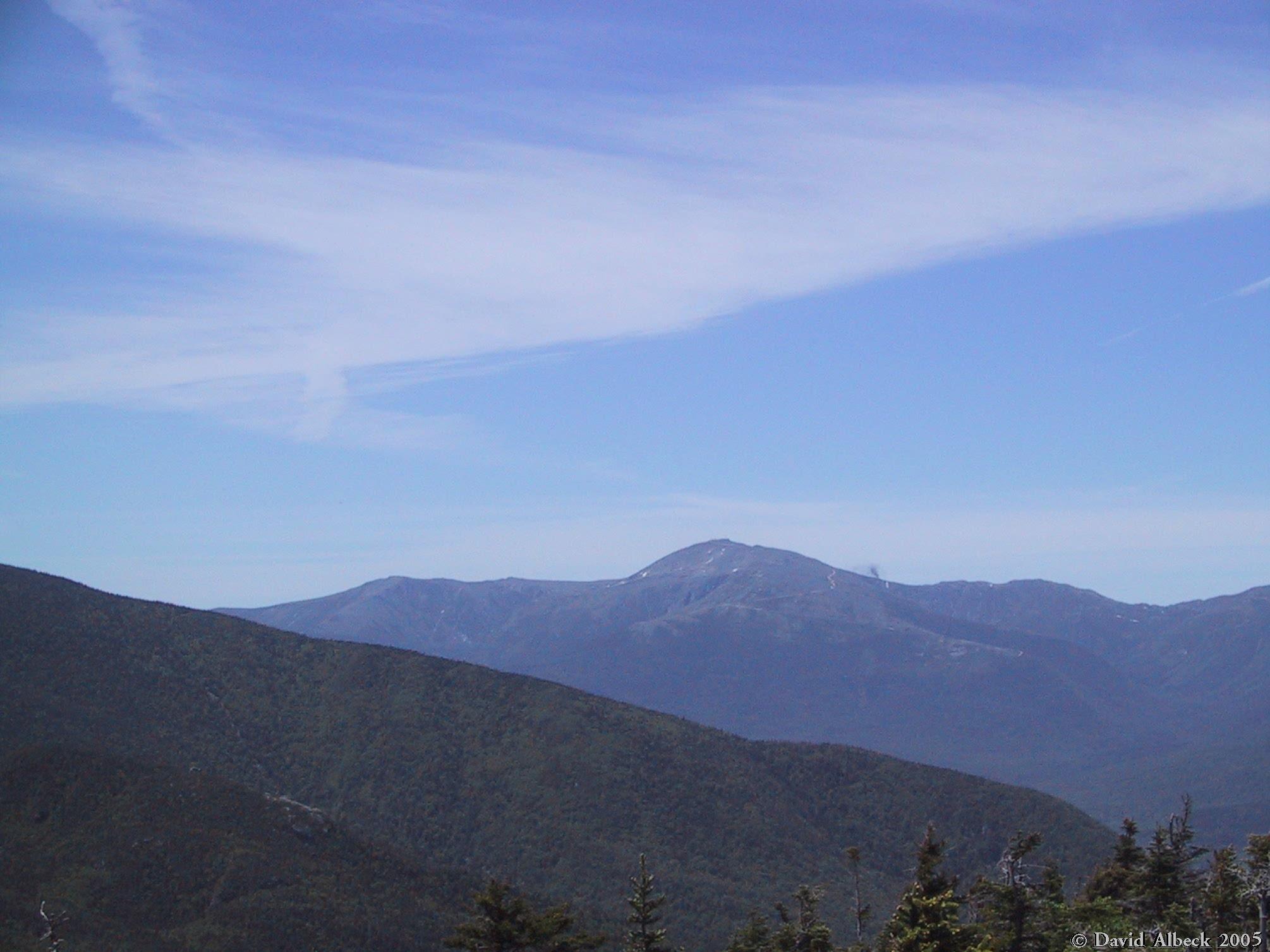
Mt Washington.
|
|
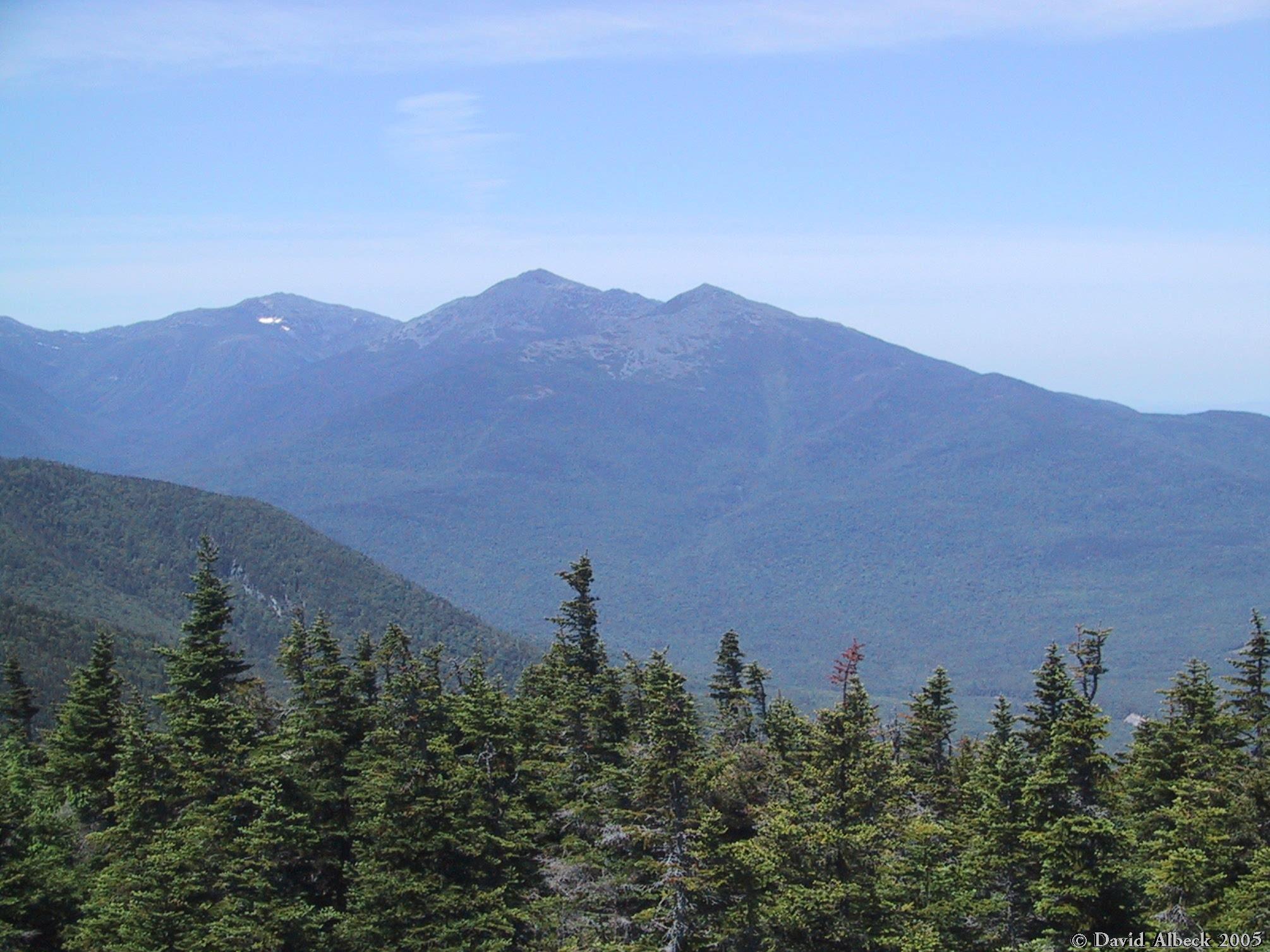
Washington & Mt Clay.
|
|
Mt Washington again, showing the Gulf of Slides, Tuckerman Ravine (with snow in the Bowl),
and Huntington Ravine.
|
|
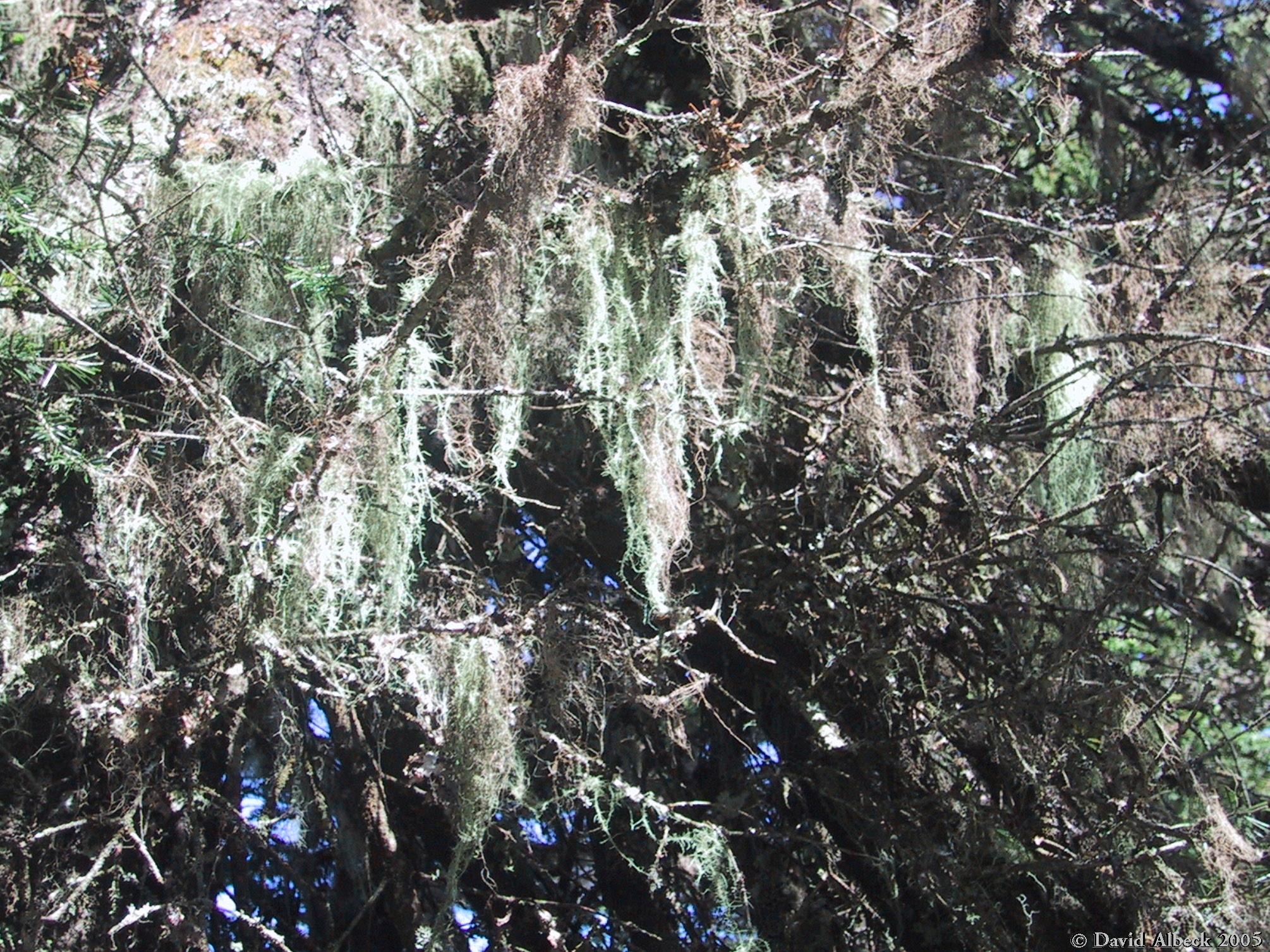
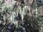
When I took this photo, I didn't realize that "beard lichen" and "spanish moss"
were two different things (the latter is a bromeliad). We're way too far north
for spanish moss, so this must be beard lichen.
|
|
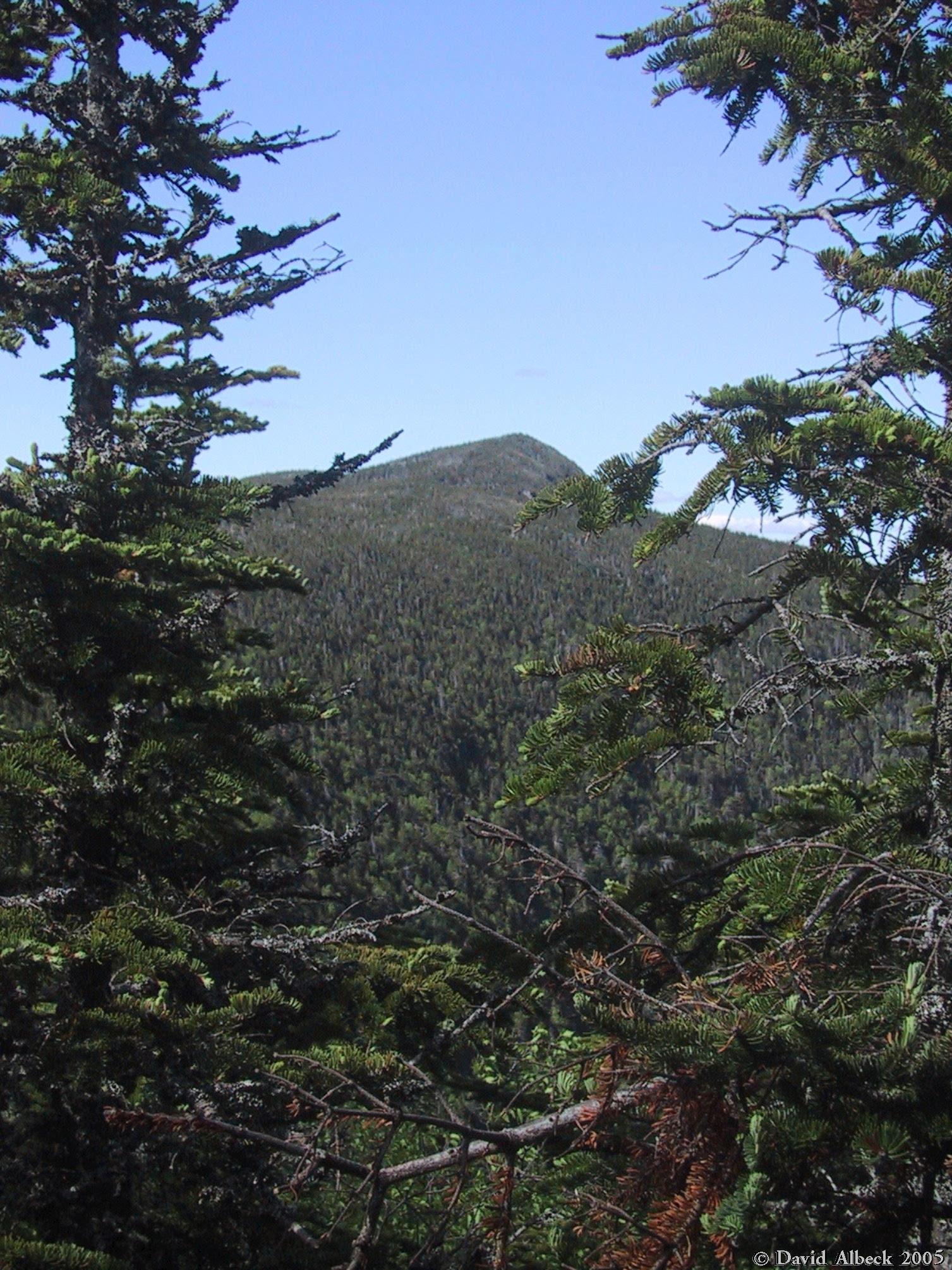
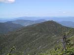
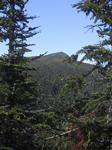
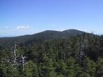
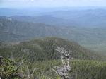
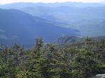
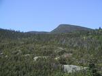
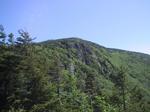
View ahead to Mt Hight.
|
|
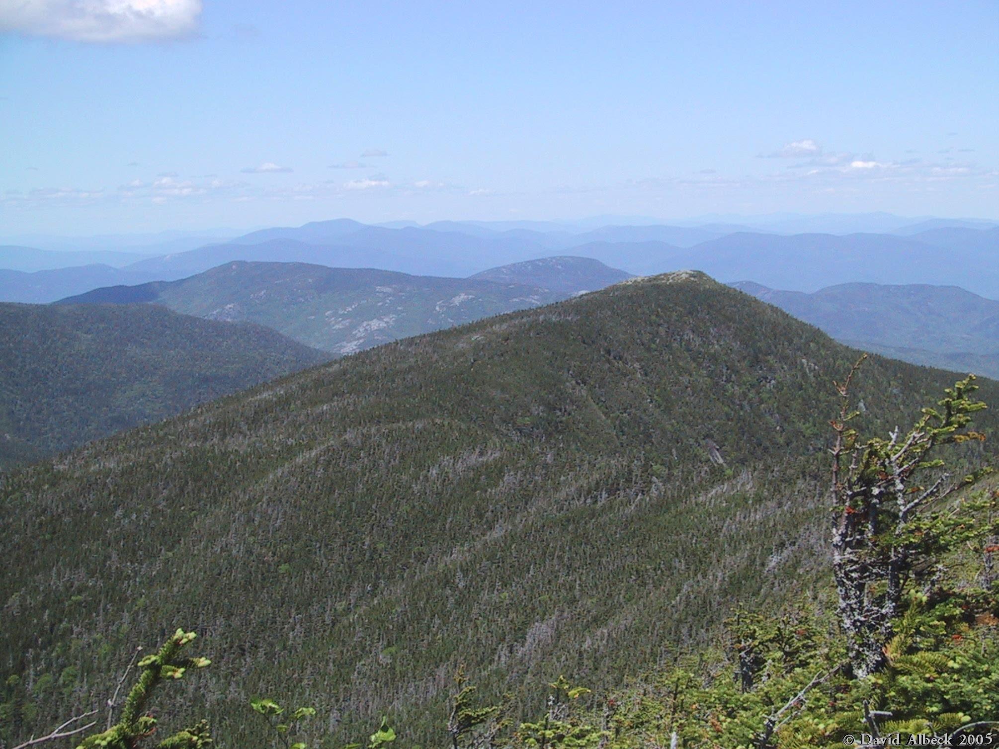
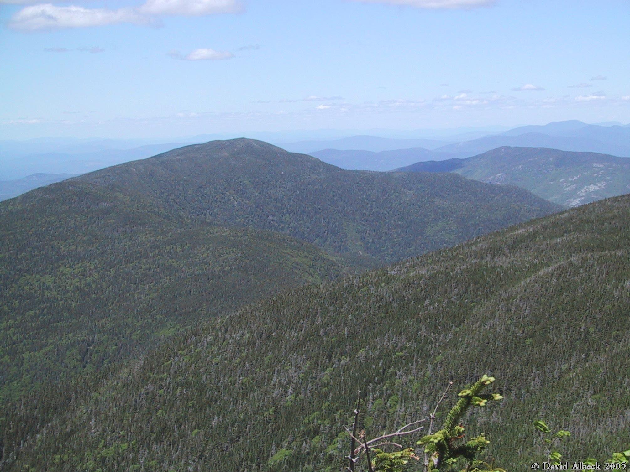
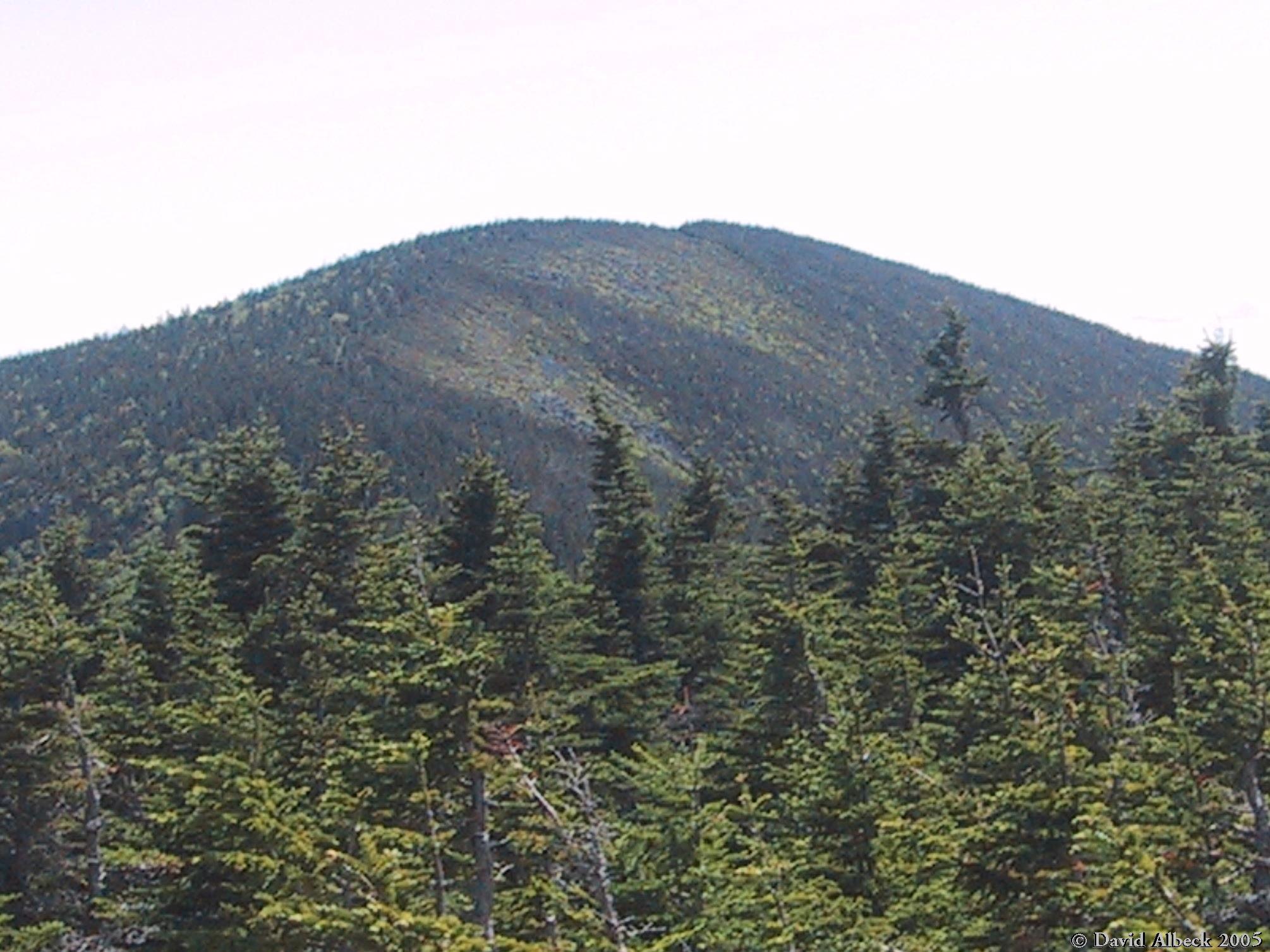
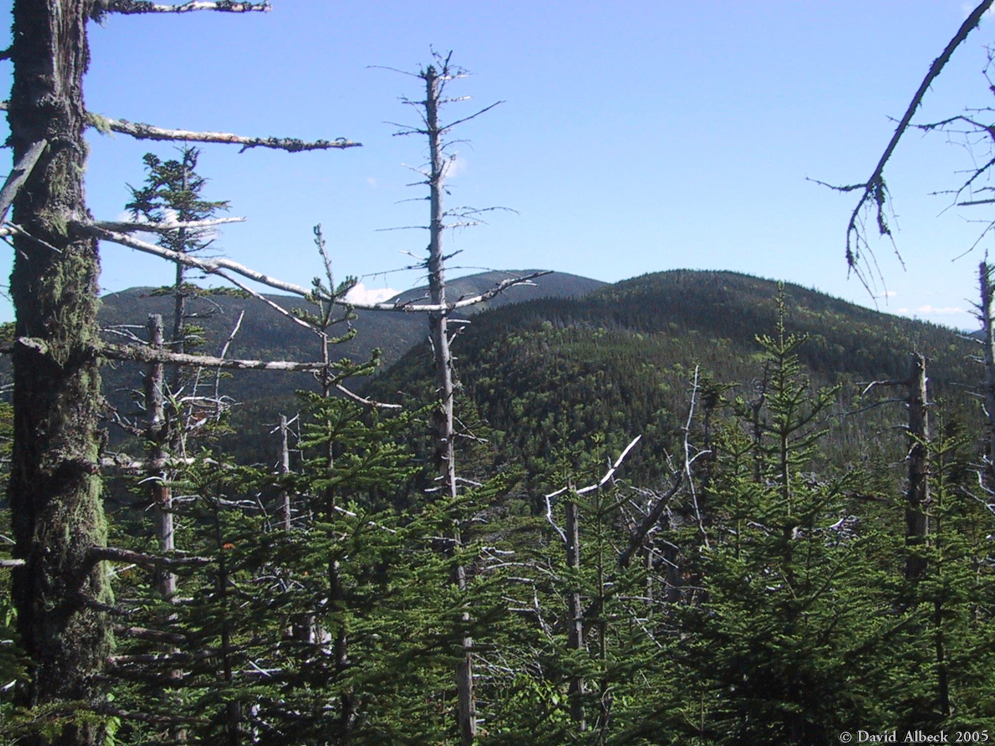
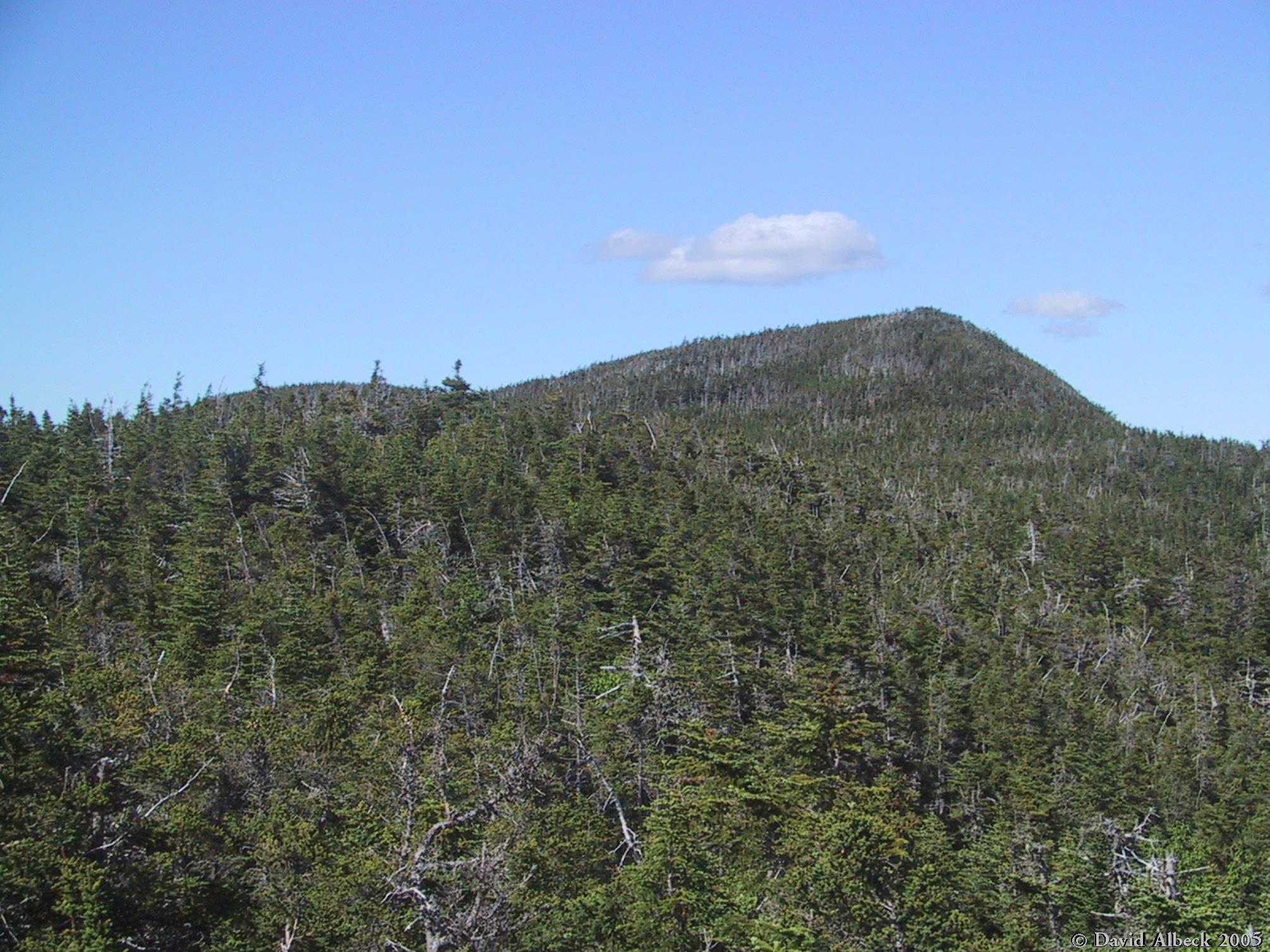
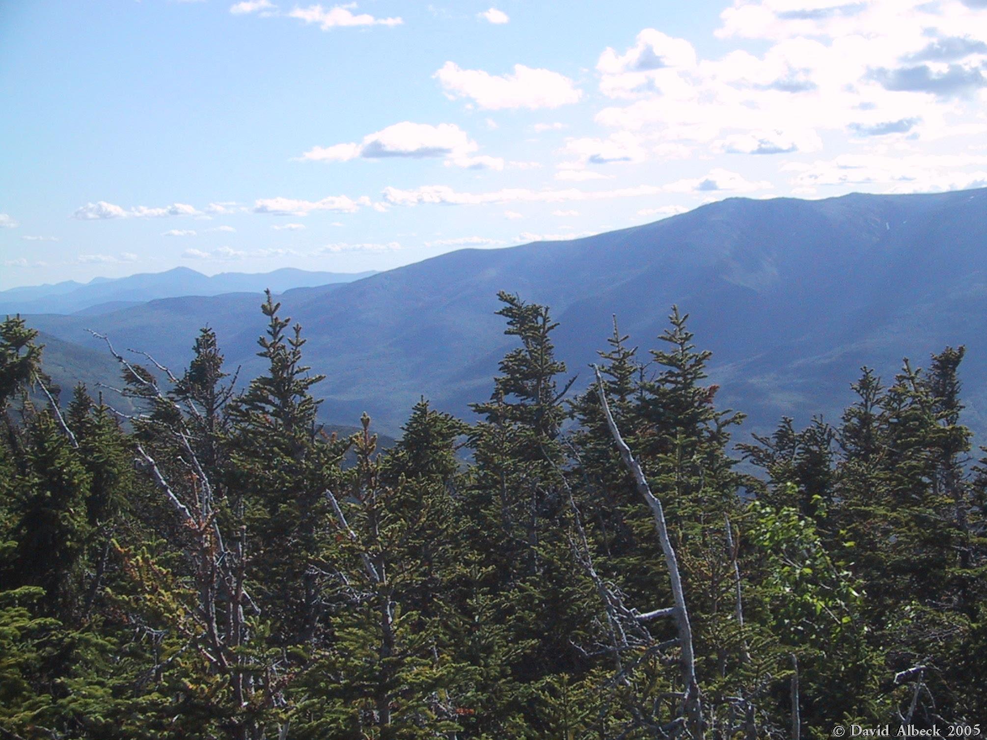
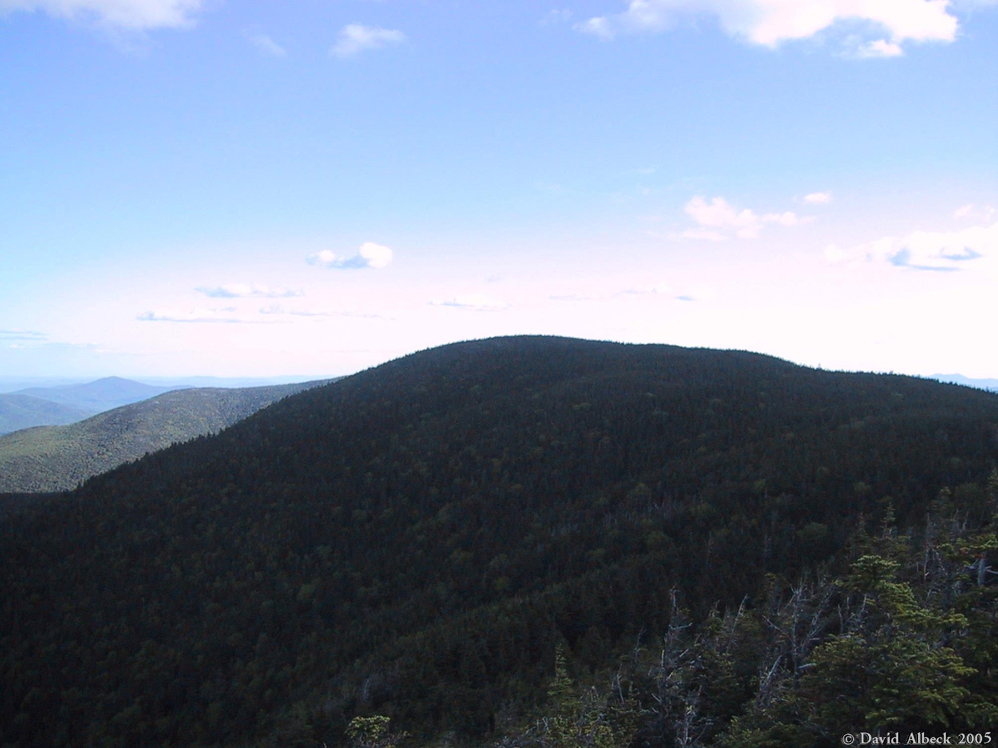
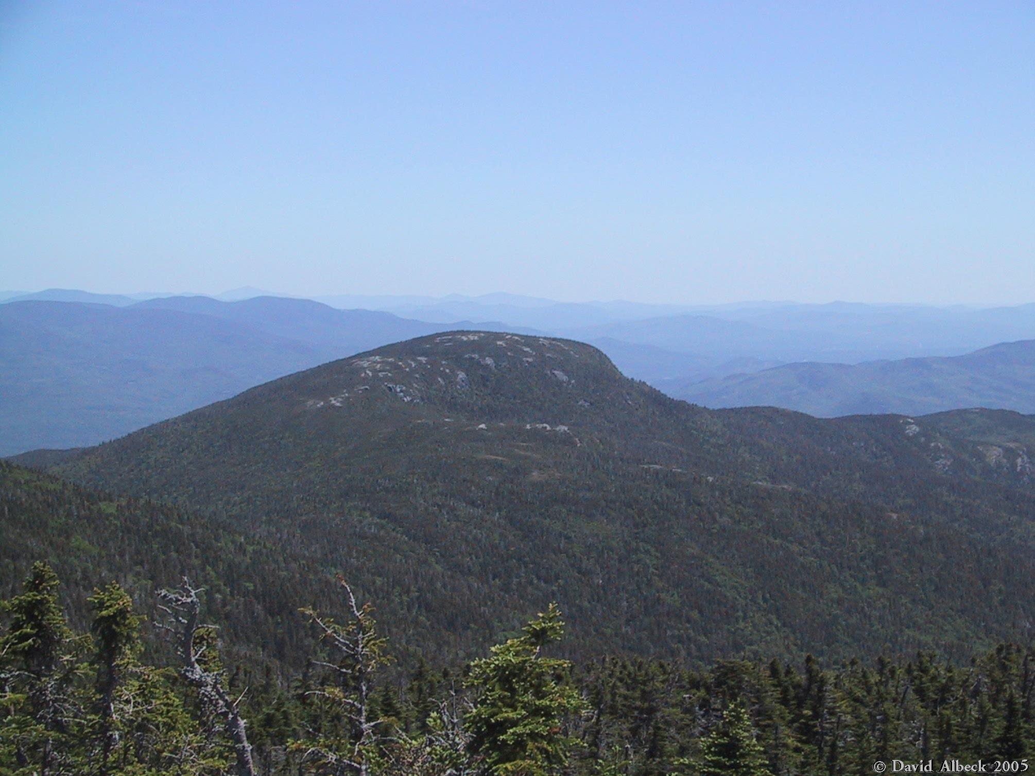
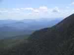
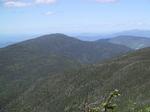
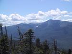
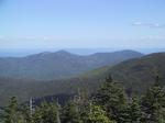
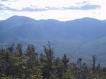
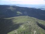
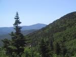
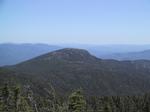
A view further ahead to Middle Carter.
|
|
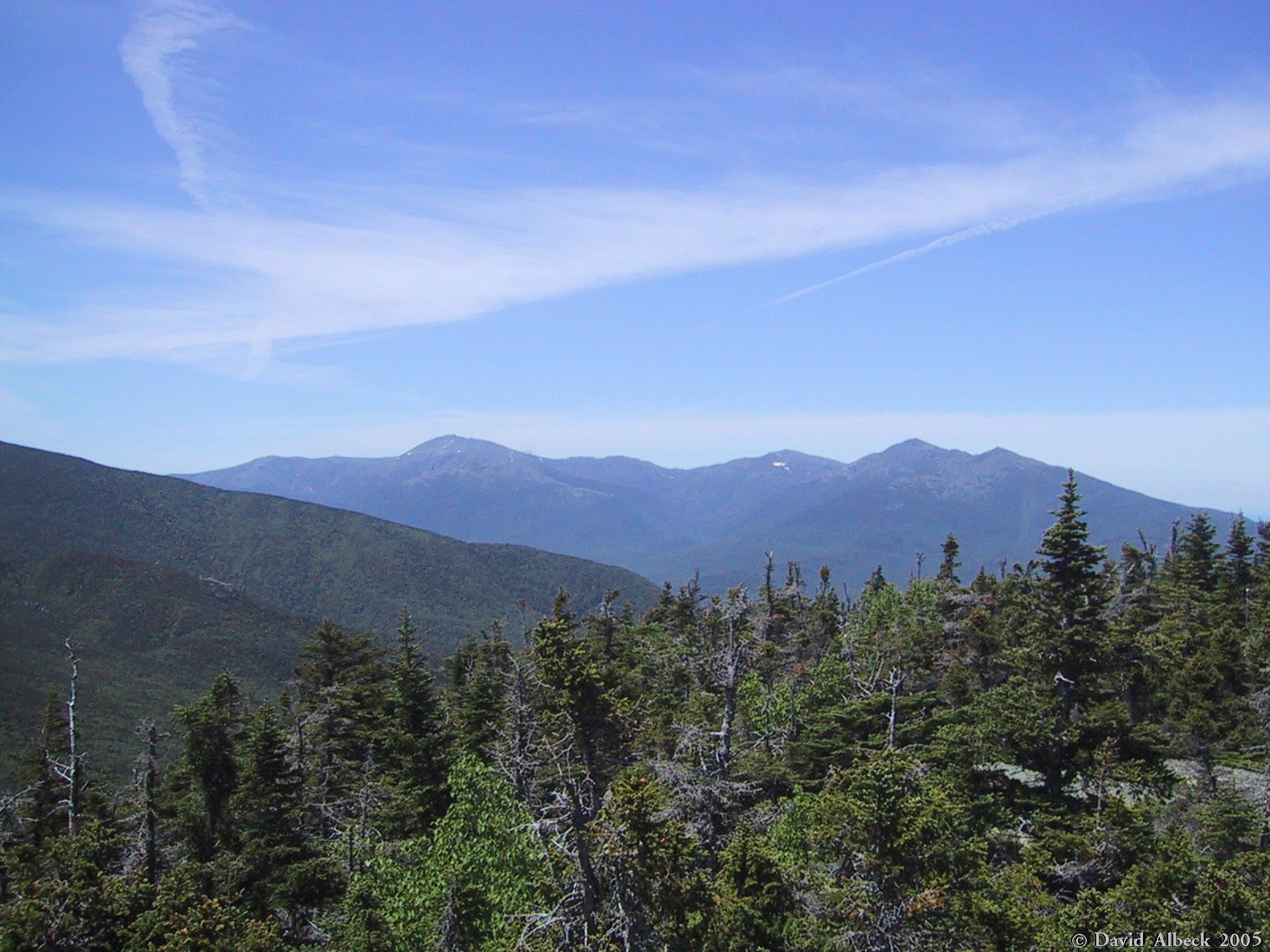
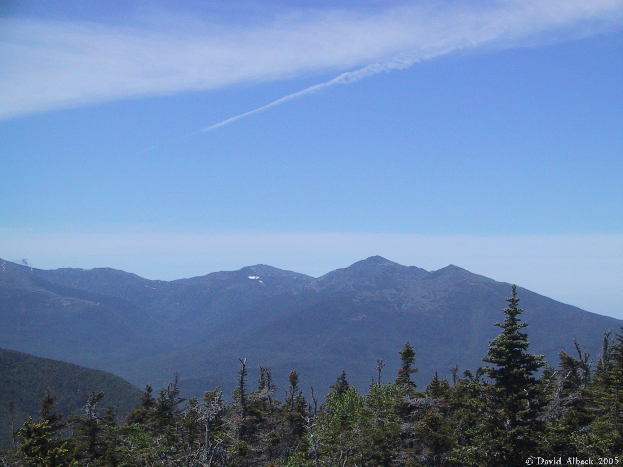
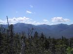
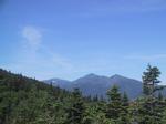
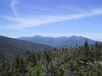
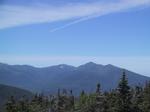
Another view of the Presidential Range: Washington, Jefferson, Adams.
|
|
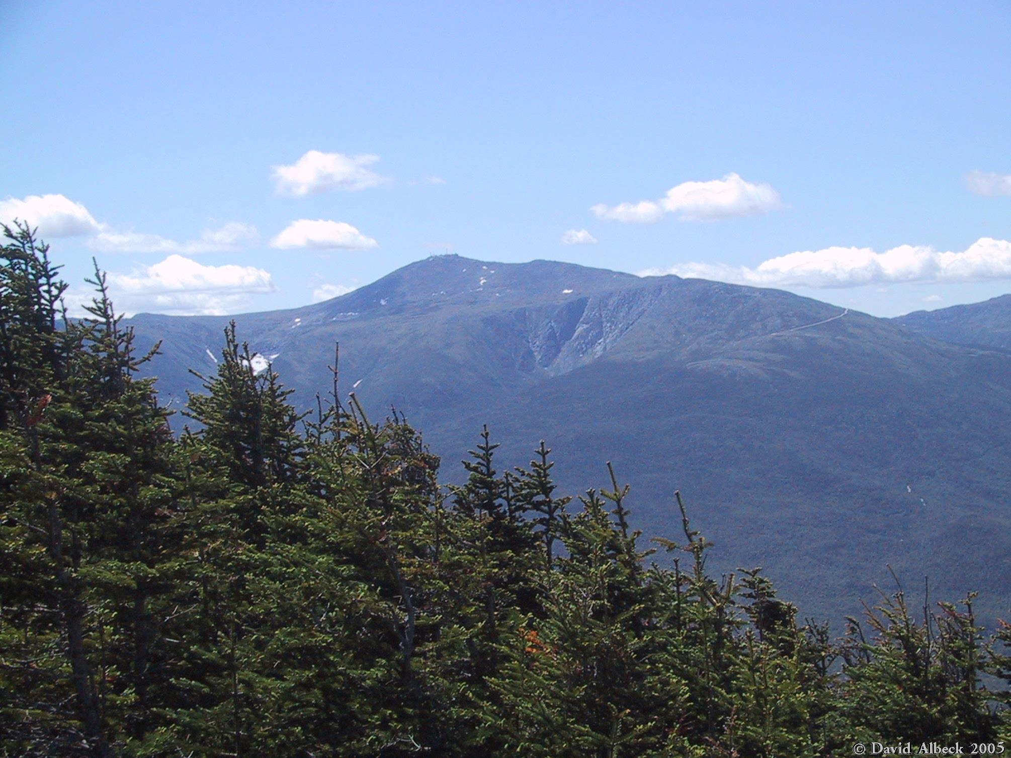
Washington again. You can make out Boott Spur and Slide Peak.
|
|
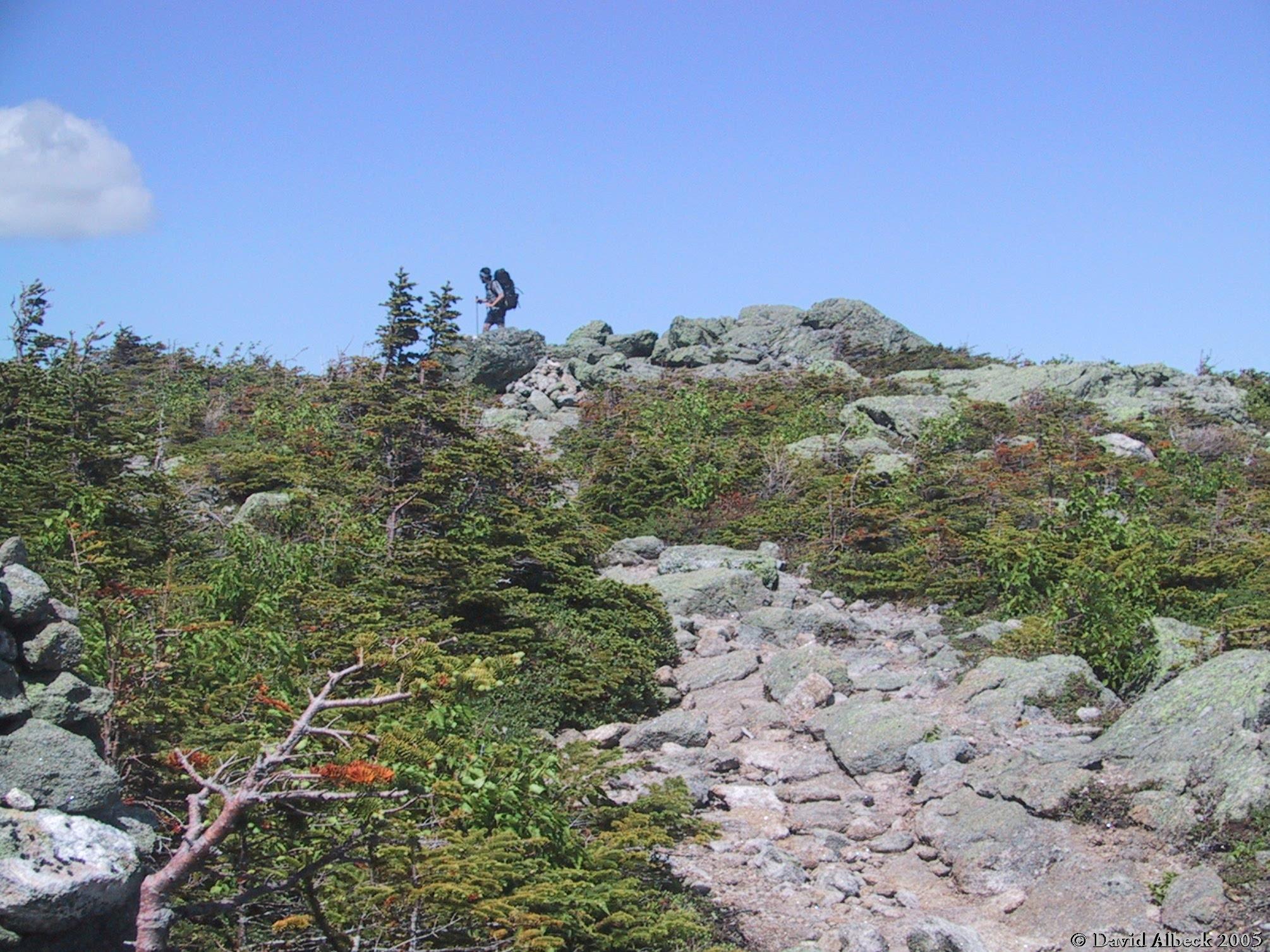
An Appalachian Trail through-hiker pauses on the summit of Mt Hight.
|
|
From Mt Hight, view back to Carter Dome.
|
|
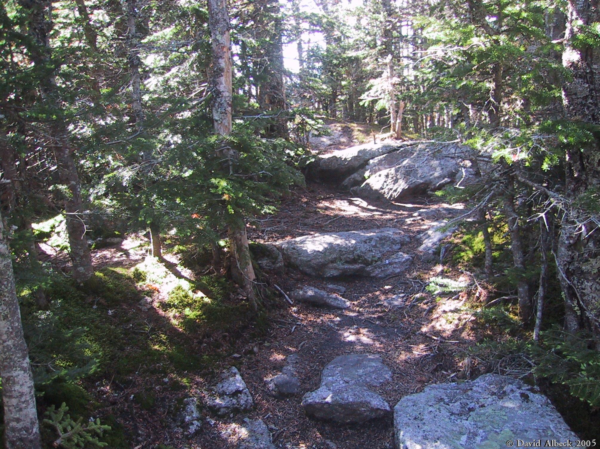
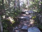
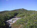
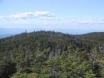
Most of the trail is pretty easy, like this.
|
|
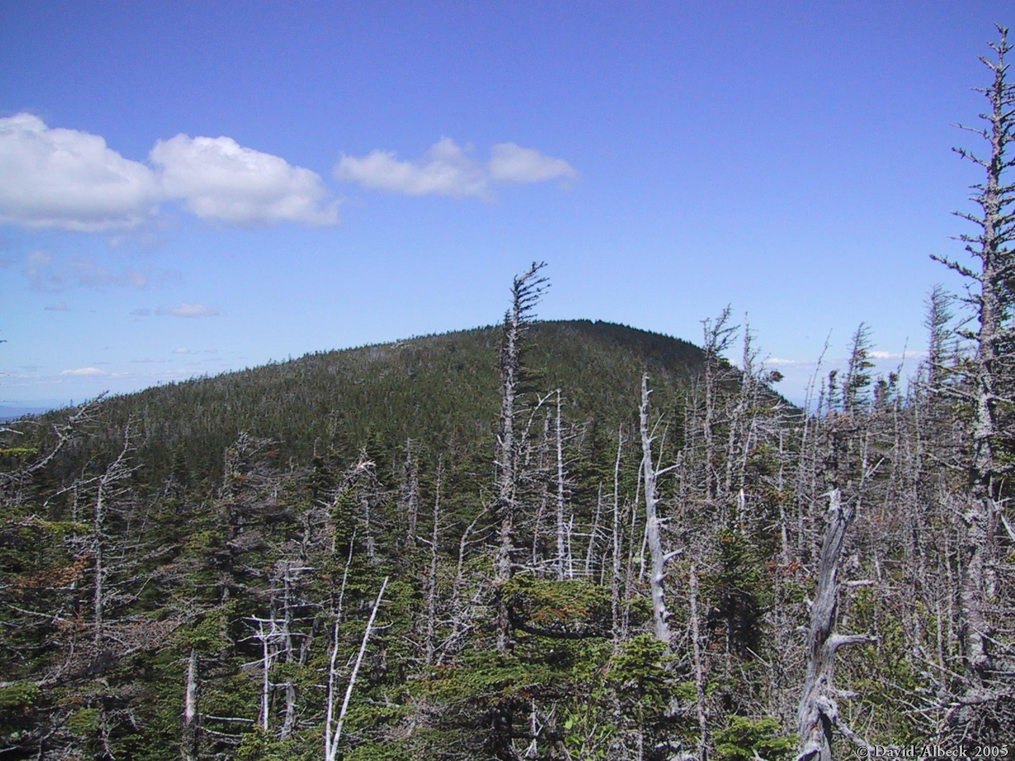
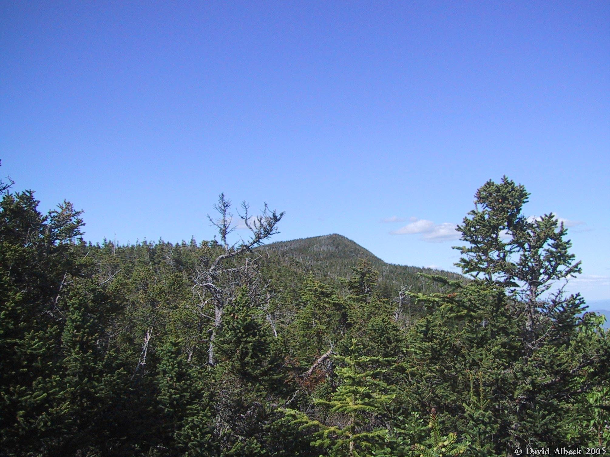
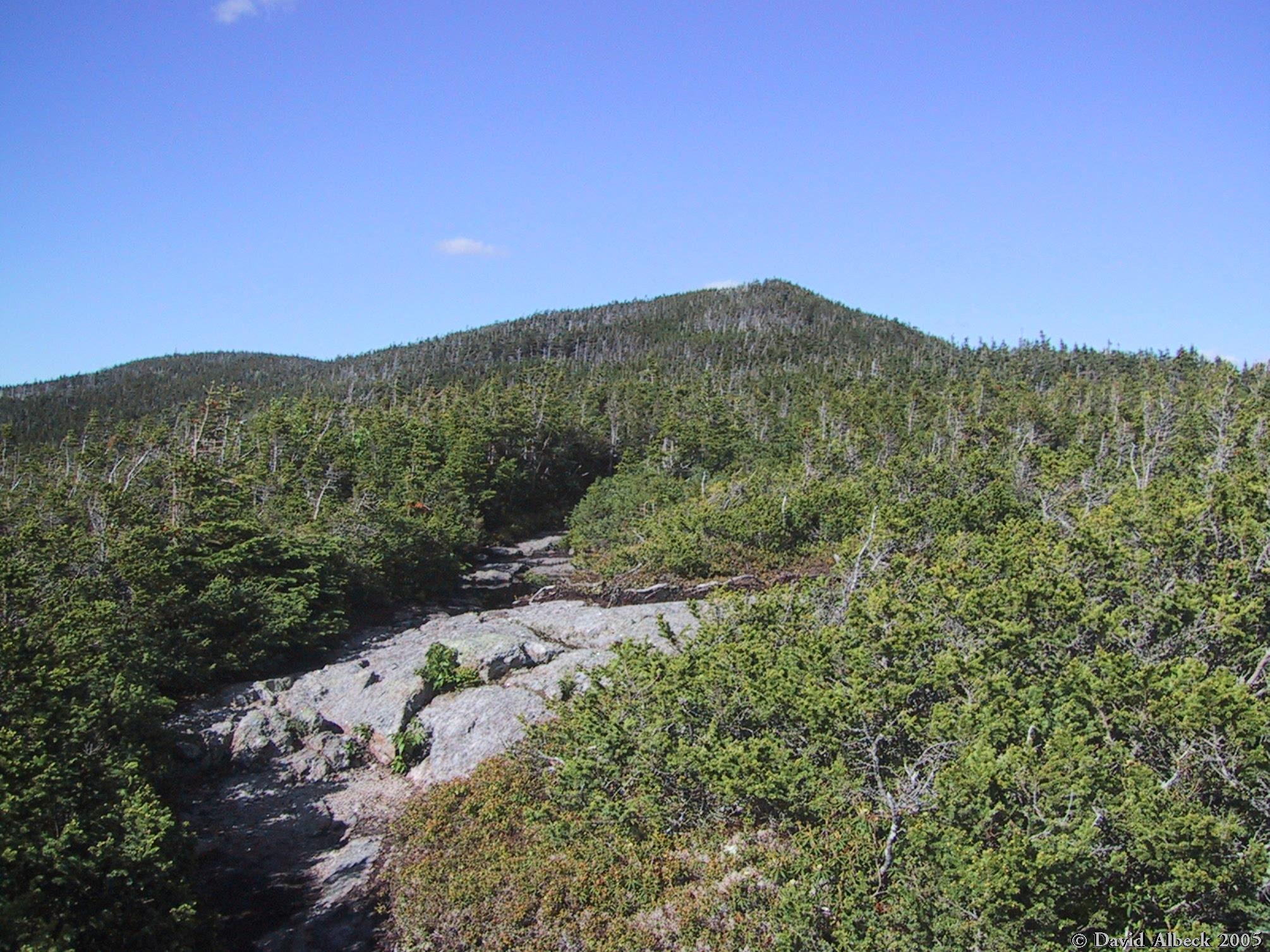
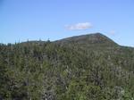
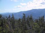
A glimpse of Middle Carter.
|
|
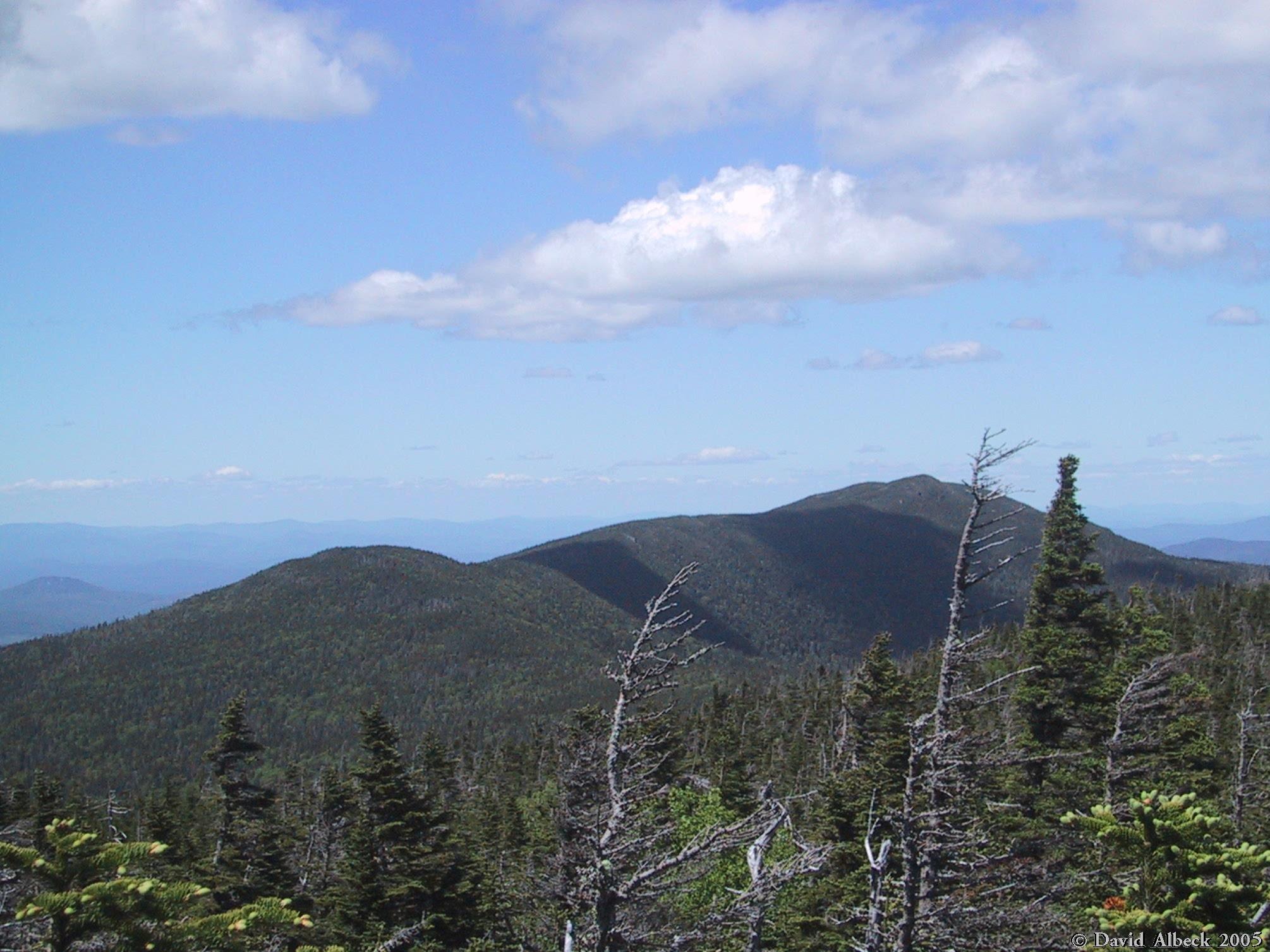
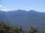
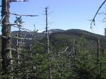
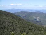
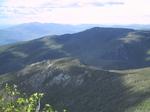
View back toward Carter Dome (center), with South Carter (right) and Mt Hight (left)
in front of it.
|

|
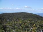
Middle Carter again.
|
|
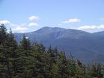
Mt Hight (center) and Carter Dome (behind it). South Carter is mostly hidden by trees
on the right.
|
|
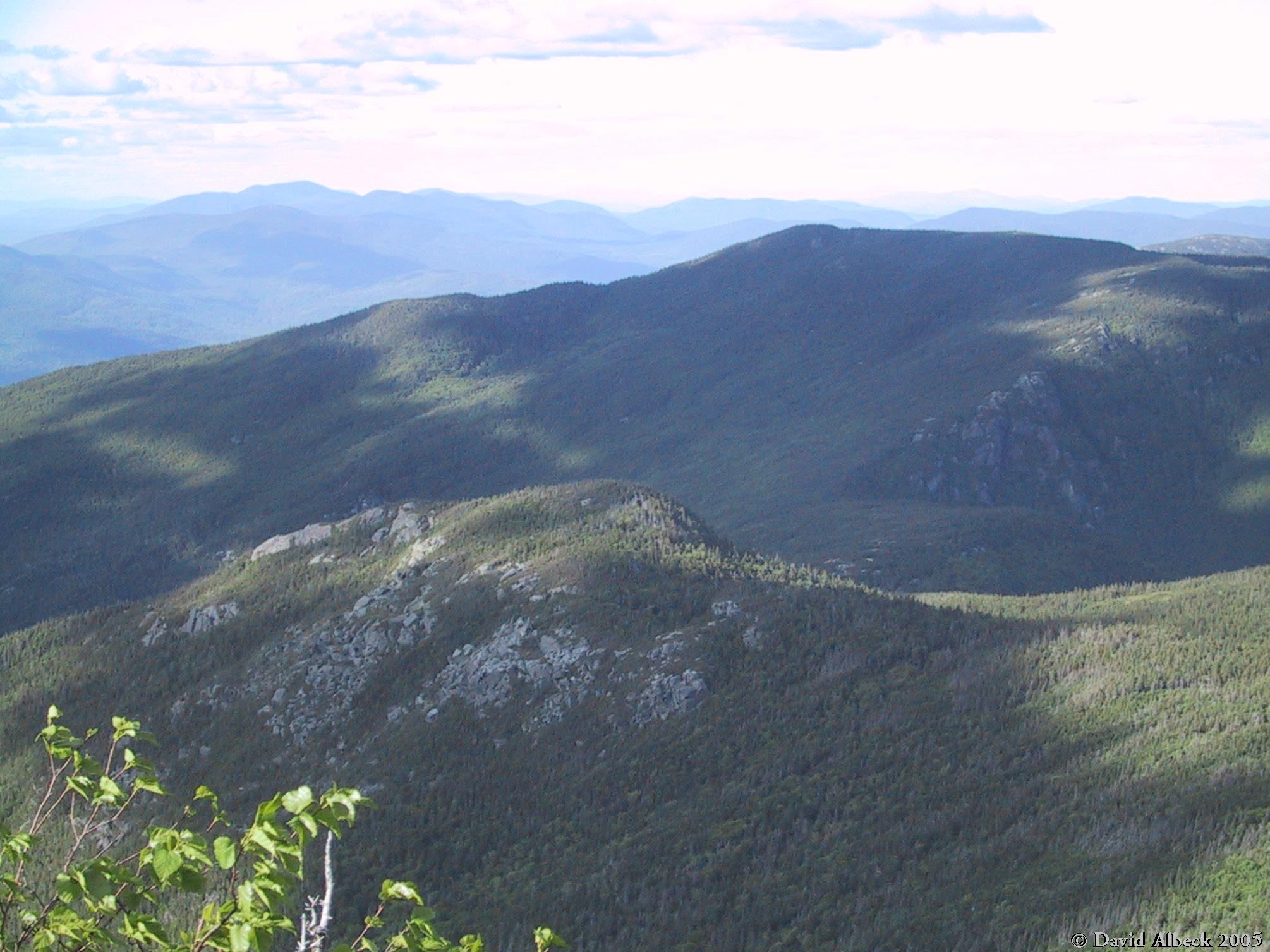
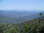
View southeast to the Baldface Range.
|
|
Closing in on Middle Carter.
|
|
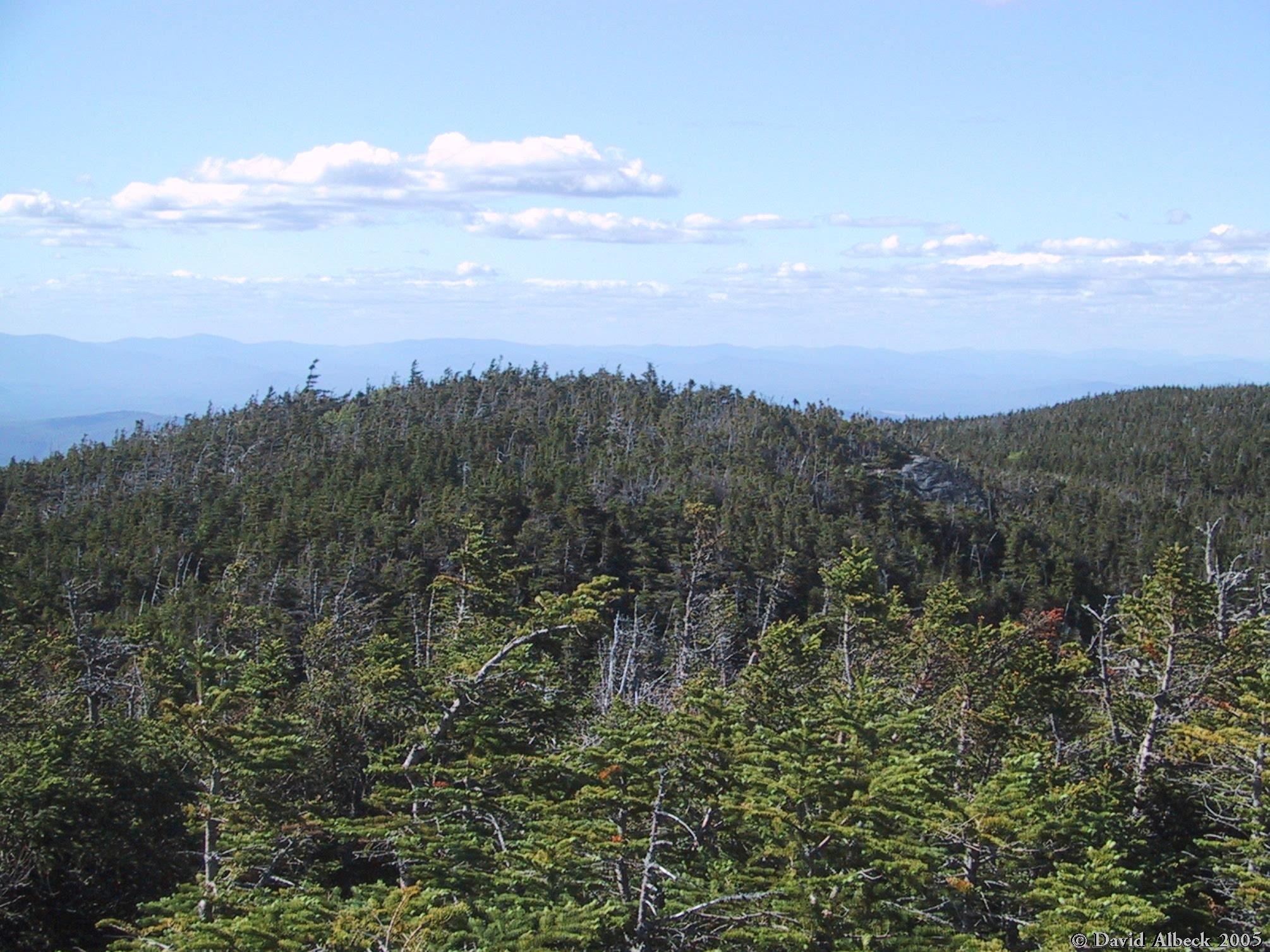
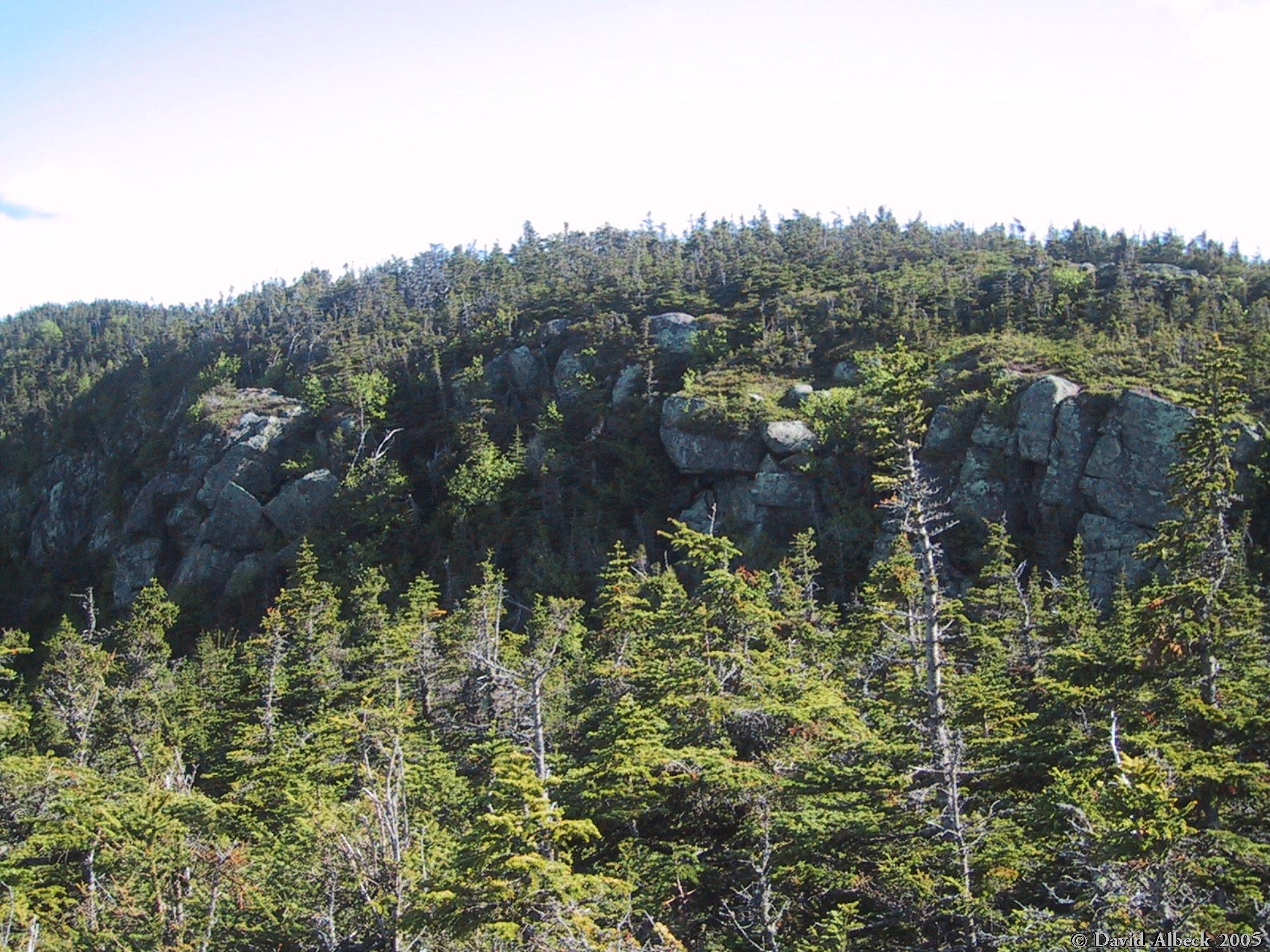
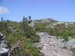
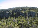
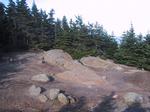
Final approach to the summit of Middle Carter: the trail passes through some krummholz.
|
|
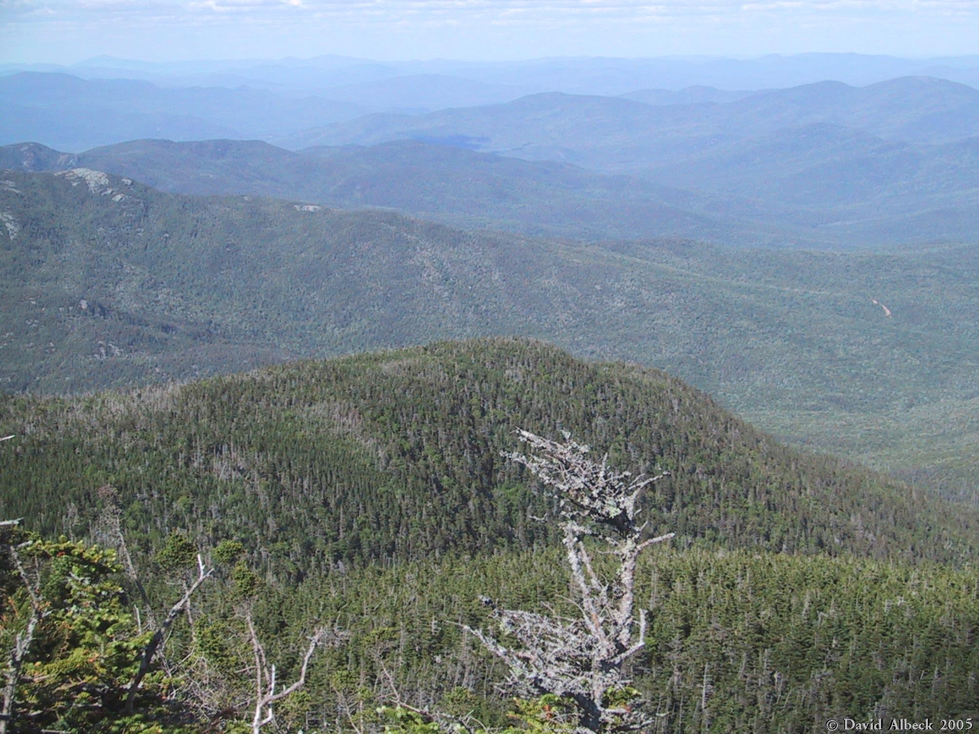
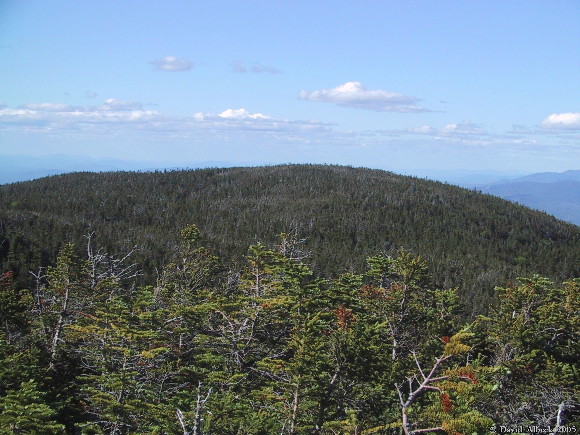
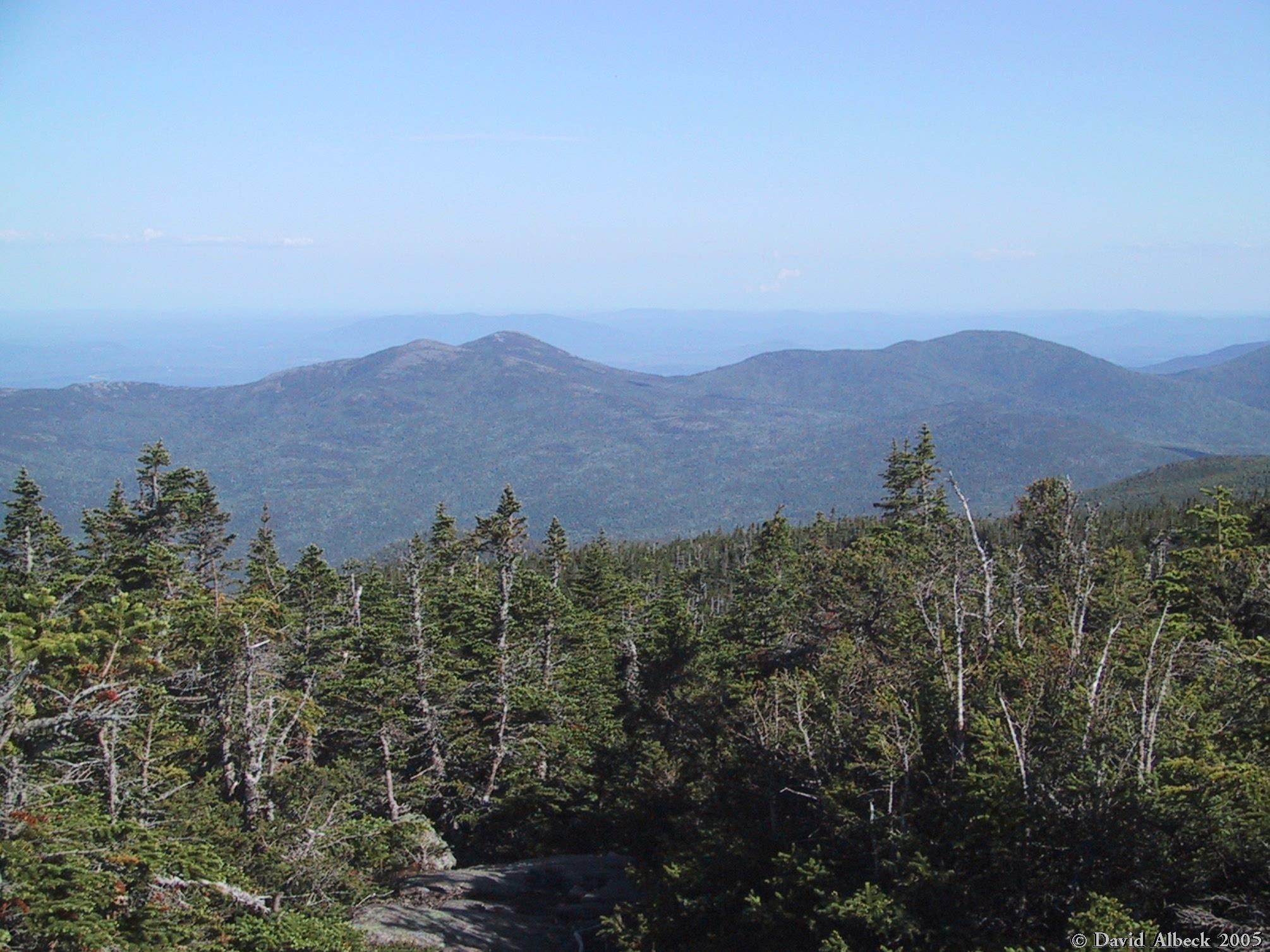
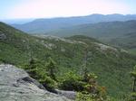
View northeast from the top of Middle Carter.
|
|
Mt Lethe stands just north of Middle Carter, but here I accidentally photographed
a different, unnamed knob.
|
|
Mt Lethe seen from Middle Carter.
|
|
Over the shoulder of Mt Lethe, a fine view of Mt Moriah, with Shelburne Moriah behind it.
|
|
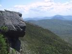
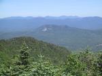
View northwest: the cliff at center is the Imp Face.
|
|
This is a great spot for views of Jefferson, Adams, and Madison, but the light wasn't
very good for photography.
|
|
The panorama continues southward with Clay and Washington.
|
|
Last bit of the panorama: the southeastern slopes of Washington.
|
|
A shot of that knob I had mistaken for Mt Lethe, from the north this time.
|
|
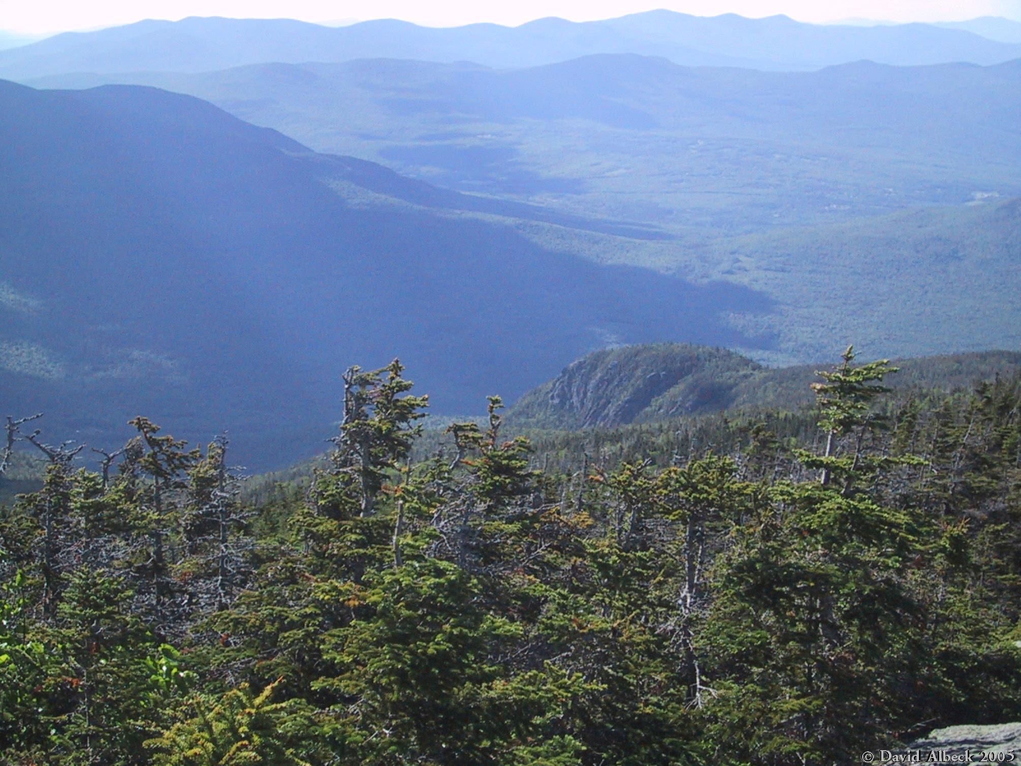
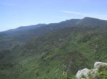
A view toward Baldface from the ridge between Middle Carter and Mt Lethe.
|
|
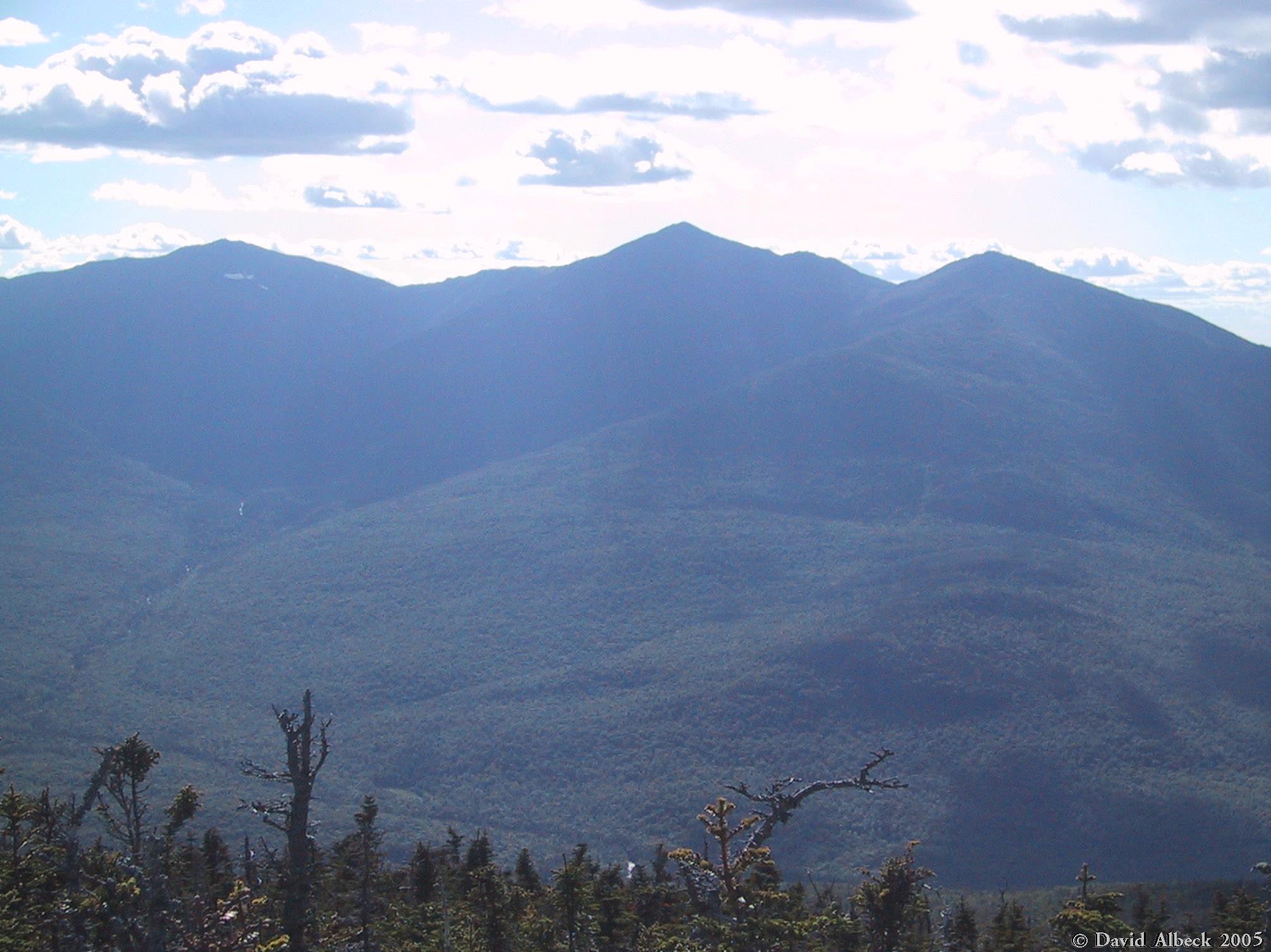
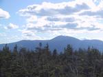
A view of Mt Washington from Mt Lethe.
|
|
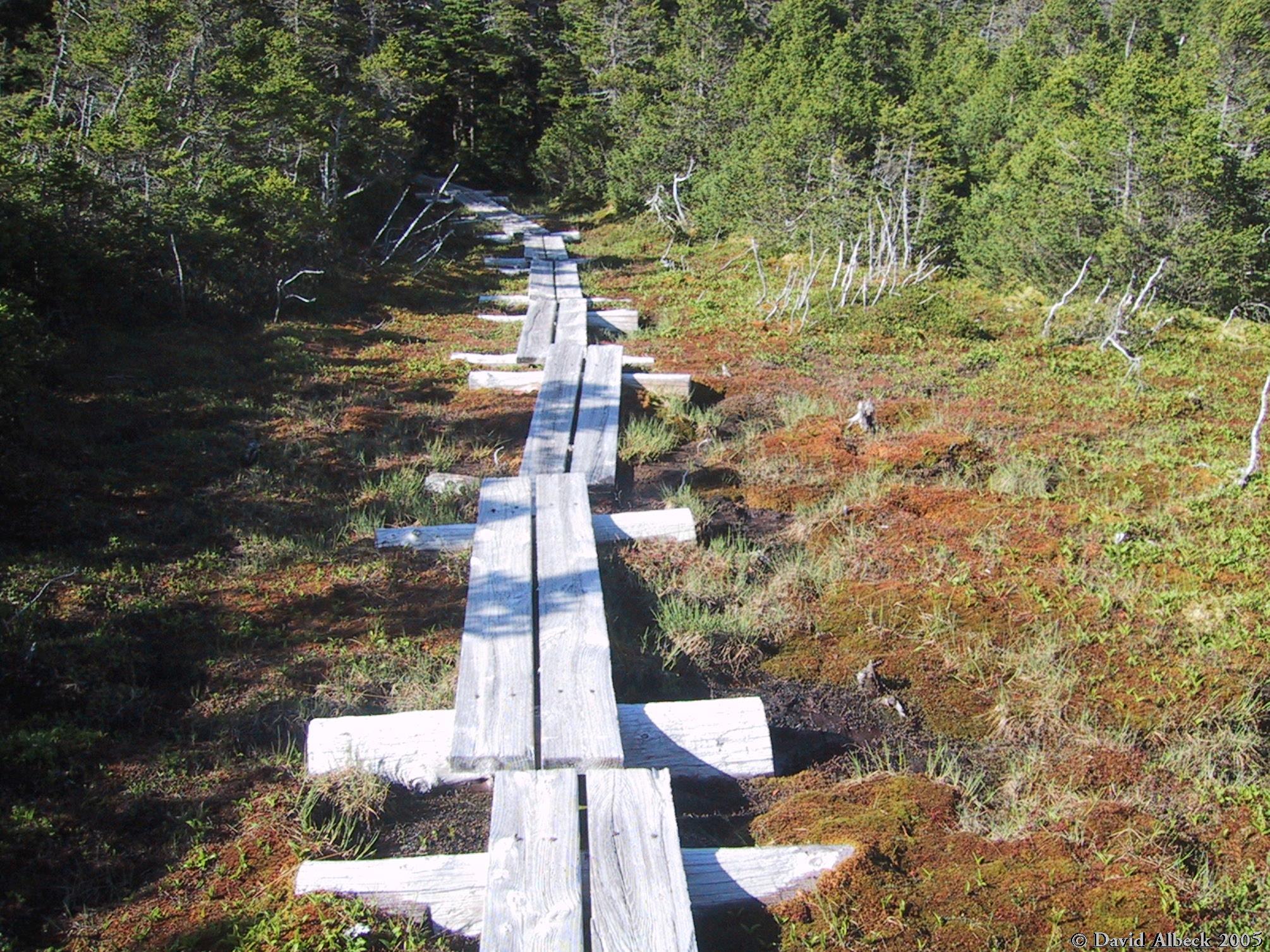
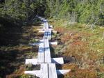
The trail from Mt Lethe to North Carter passes through a series of bogs high on the ridge.
|
|
View back to Mt Lethe from the slopes of North Carter.
|
|
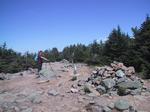
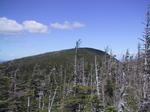
The summit of North Carter.
|
|
From an overlook near the summit of North Carter, a view to Imp Mountain (foreground) and
Mount Moriah.
|
|
Slightly more easterly view: the east slopes of Imp Mountain and of Mt Moriah.
|
|
Mt Moriah from the north slope of North Carter.
|
|
Same spot, different camera angle.
|
|
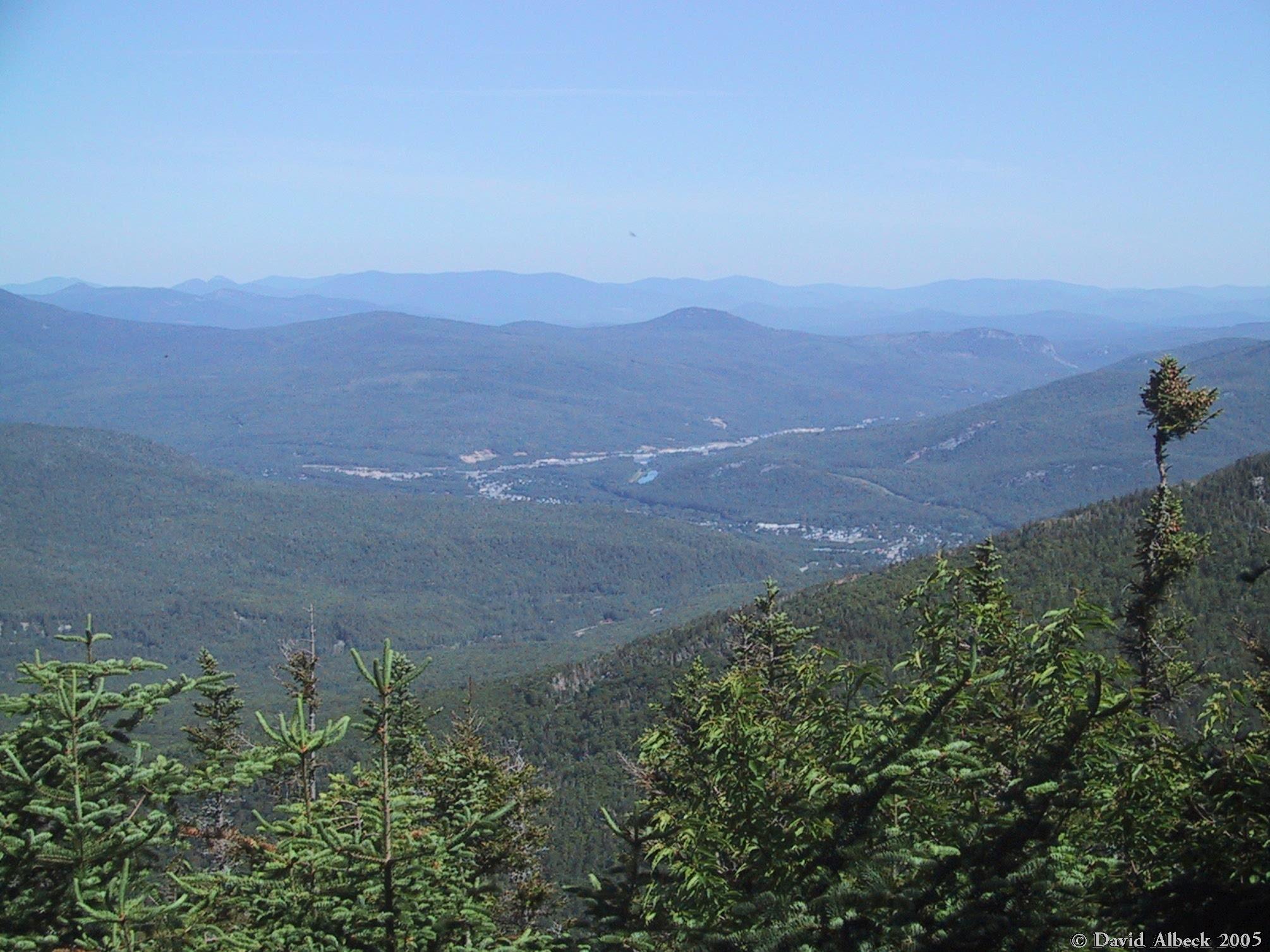
The next morning, a view north to the town of Gorham from the campsite on Imp Mountain.
|
|
From the campsite, view northwest. The cliff at center is Pine Mountain.
|
|
The water source at the campsite.
|
|
Summit of Imp Mountain seen from the trail to Mt Moriah (ie, from the north).
|
|
North Carter, with a bit of Mt Lethe behind it, seen from a little further along the trail.
|
|
Looking past Imp Mountain's eastern shoulder: that may be Mt Hight in the distance.
|
|
Cliffs on the south face of Mt Moriah.
|
|
Left to right: Mts Jefferson, Adams, and Madison.
|
|
The southeastern slope of Mt Moriah, seen from above those cliffs.
|
|
The Carters seen from Mt Moriah. North Carter at right, Mt Hight and Carter Dome in
the distance.
|
|
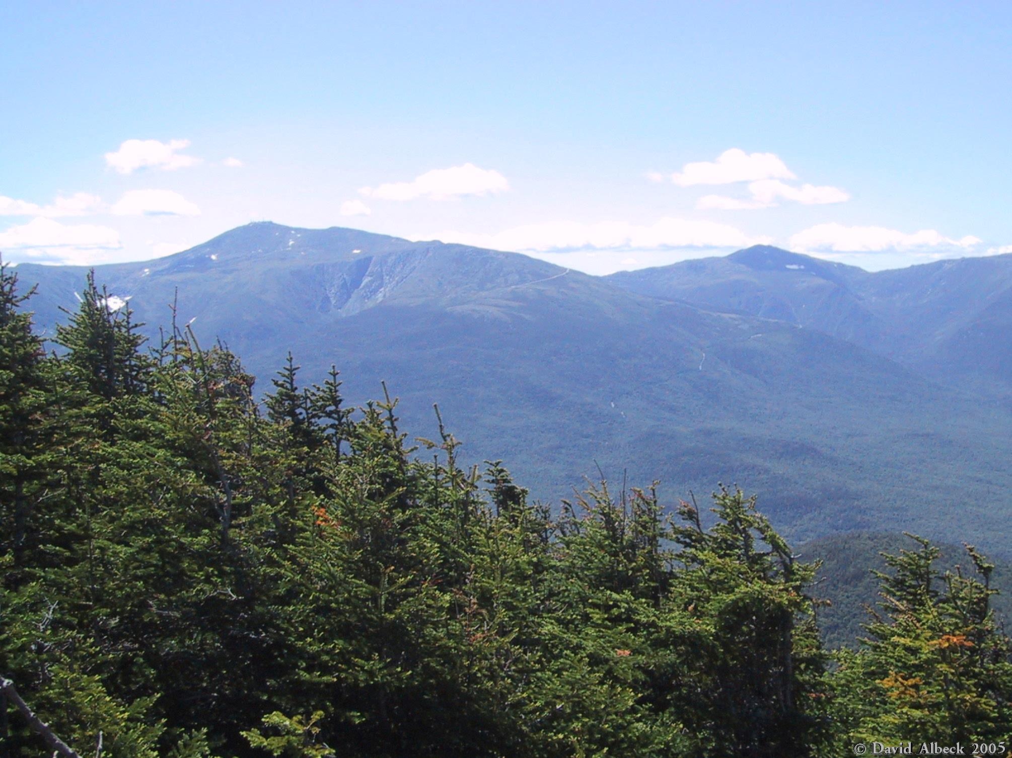
Mt Washington peeks out from behind the slopes of North Carter.
|
|
A bit further uphill, and more of the Presidential Range is visible. A better shot of Washinton, Clay, and Jefferson.
|
|
Jefferson, Adams, and Madison.
|
|
Panorama overview.
|
|
Panorama left half.
|
|
Panorama right half.
|
|
Shelburne Moriah from Mt Moriah.
|
|
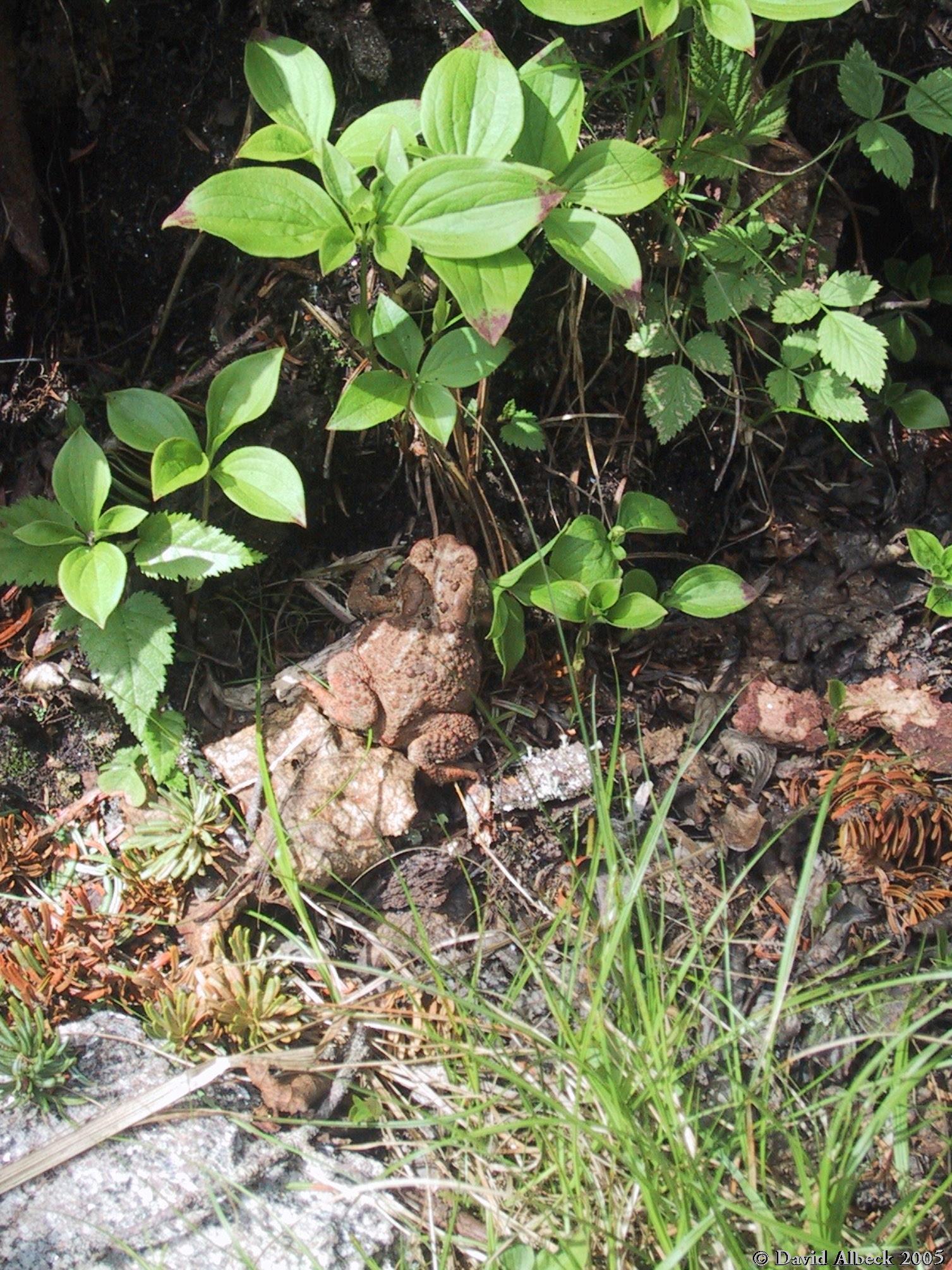
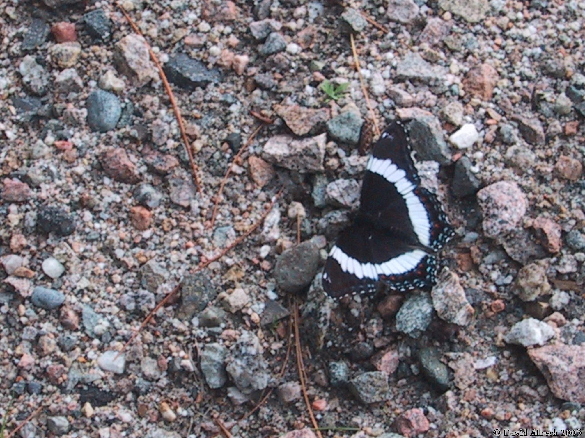
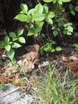
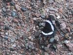
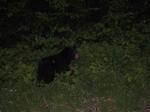
I descended via the Imp Trail. Didn't meet any imps, but I did see a couple of these guys.
|
|
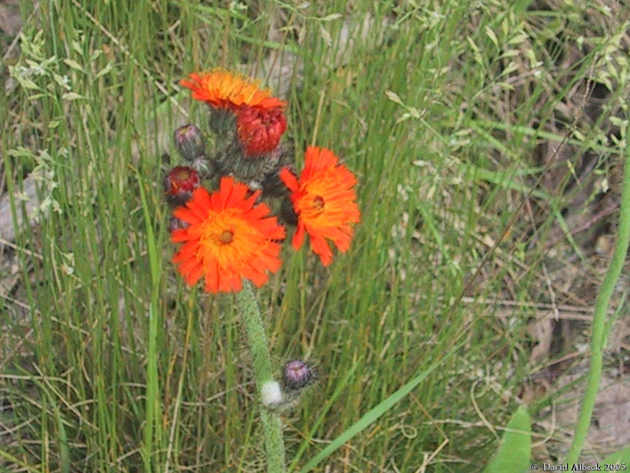
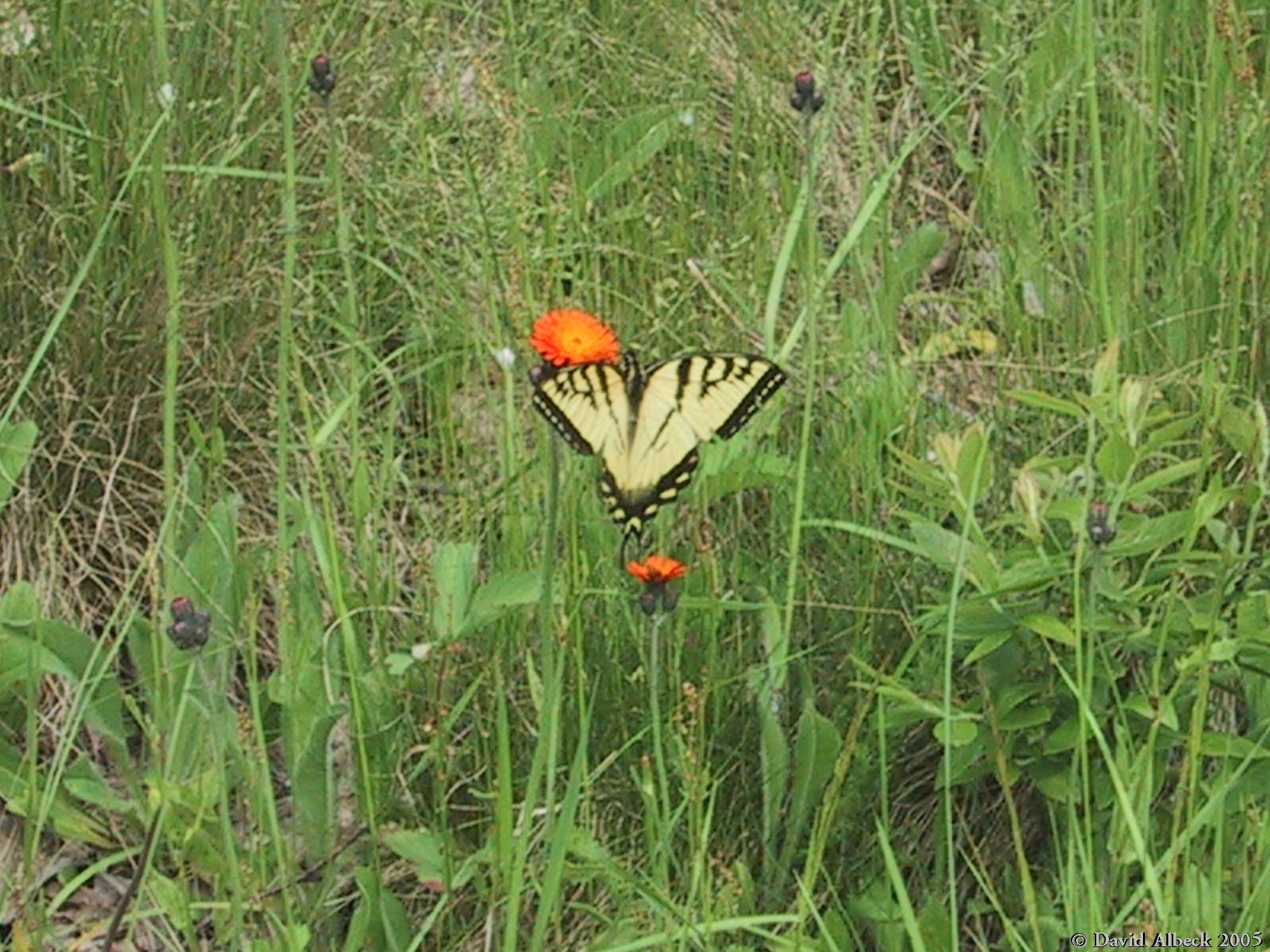
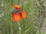
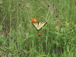
I don't know what these orange flowers are called, but I like them.
|
|
And so did this eastern tiger swallowtail.
|
|
This White Admiral preferred to rest beside the highway.
This photo taken half a second before a truck sped by and blew it away.
|
|
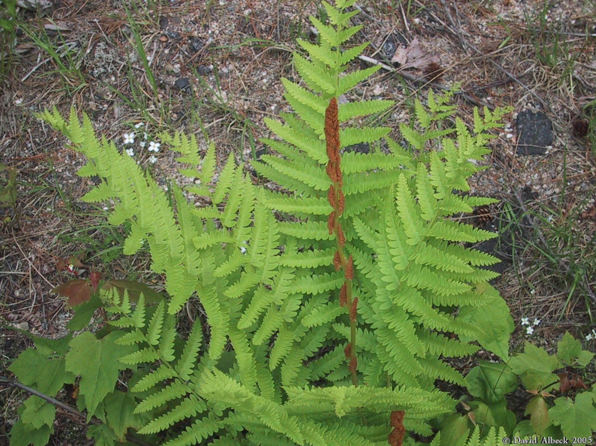
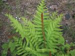
An ostrich fern (I think) with very prominent fruiting leaves.
|
|
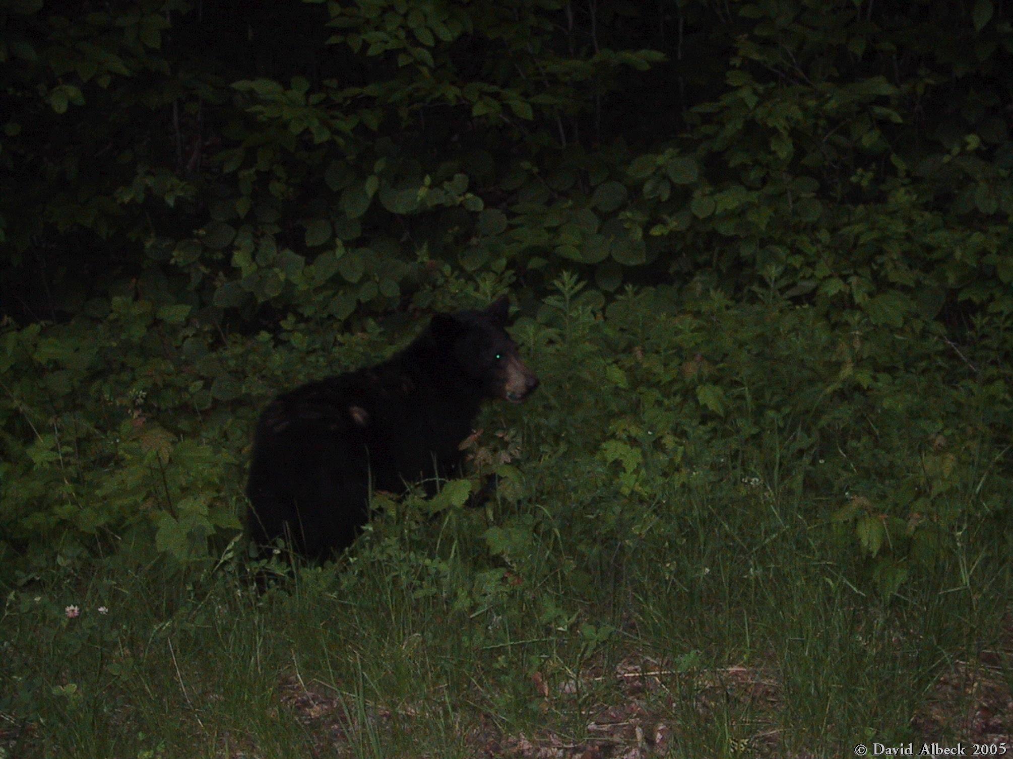
Sure, they're cute at this age, but try housebreaking them.
|