|
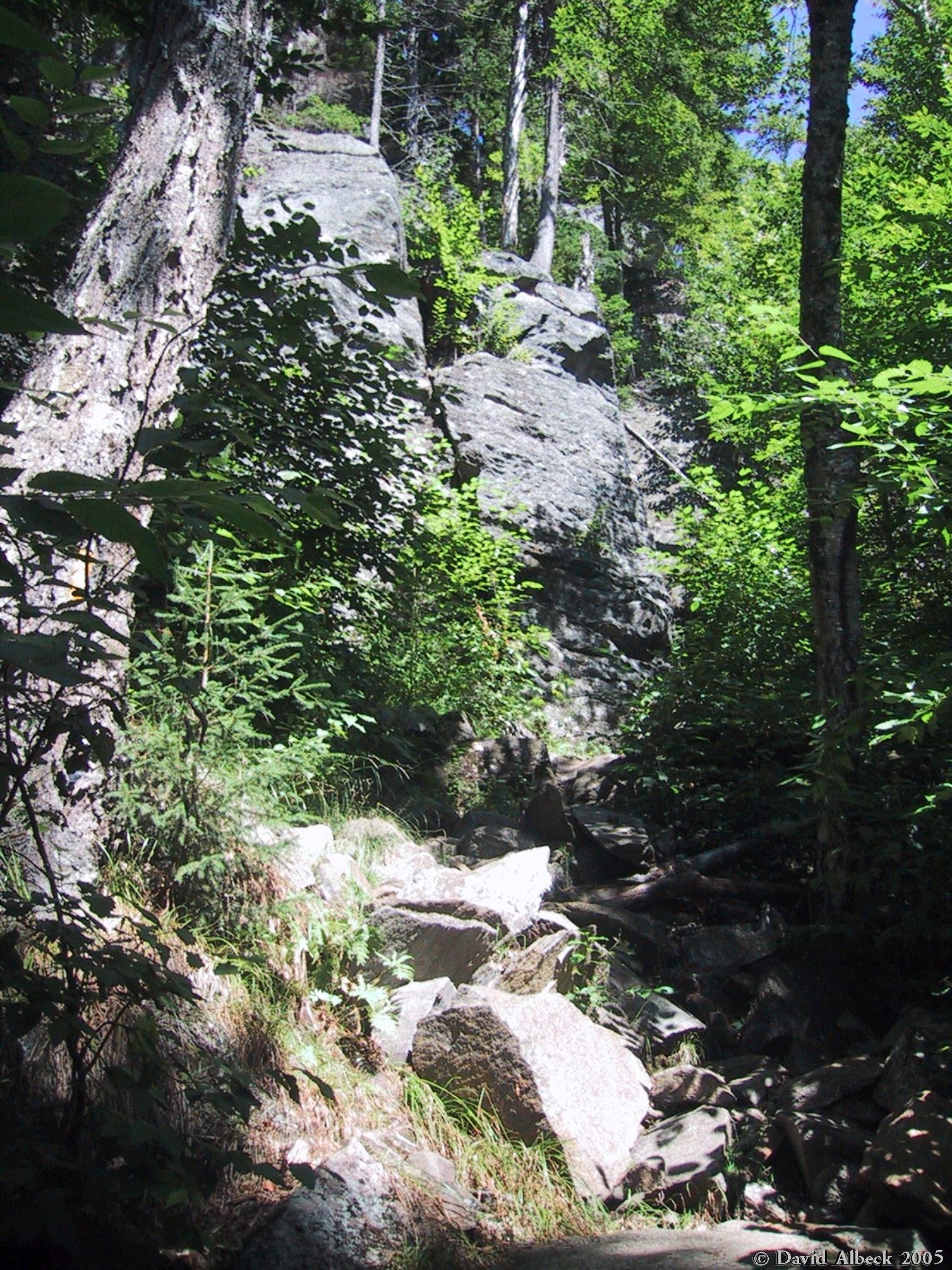
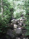
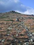
The Glen Boulder Trail starts out steep and rocky.
|
|
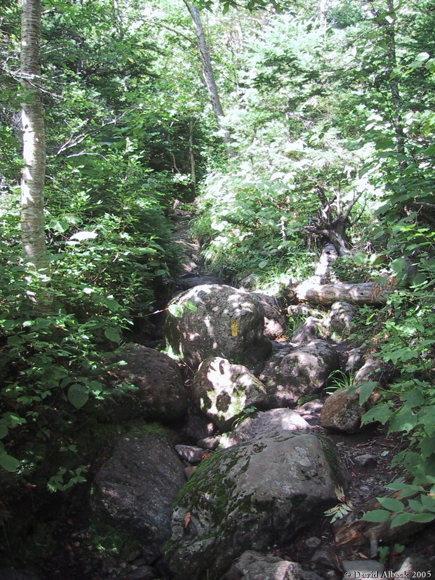
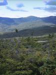
It then becomes less steep, but still rocky.
|
|
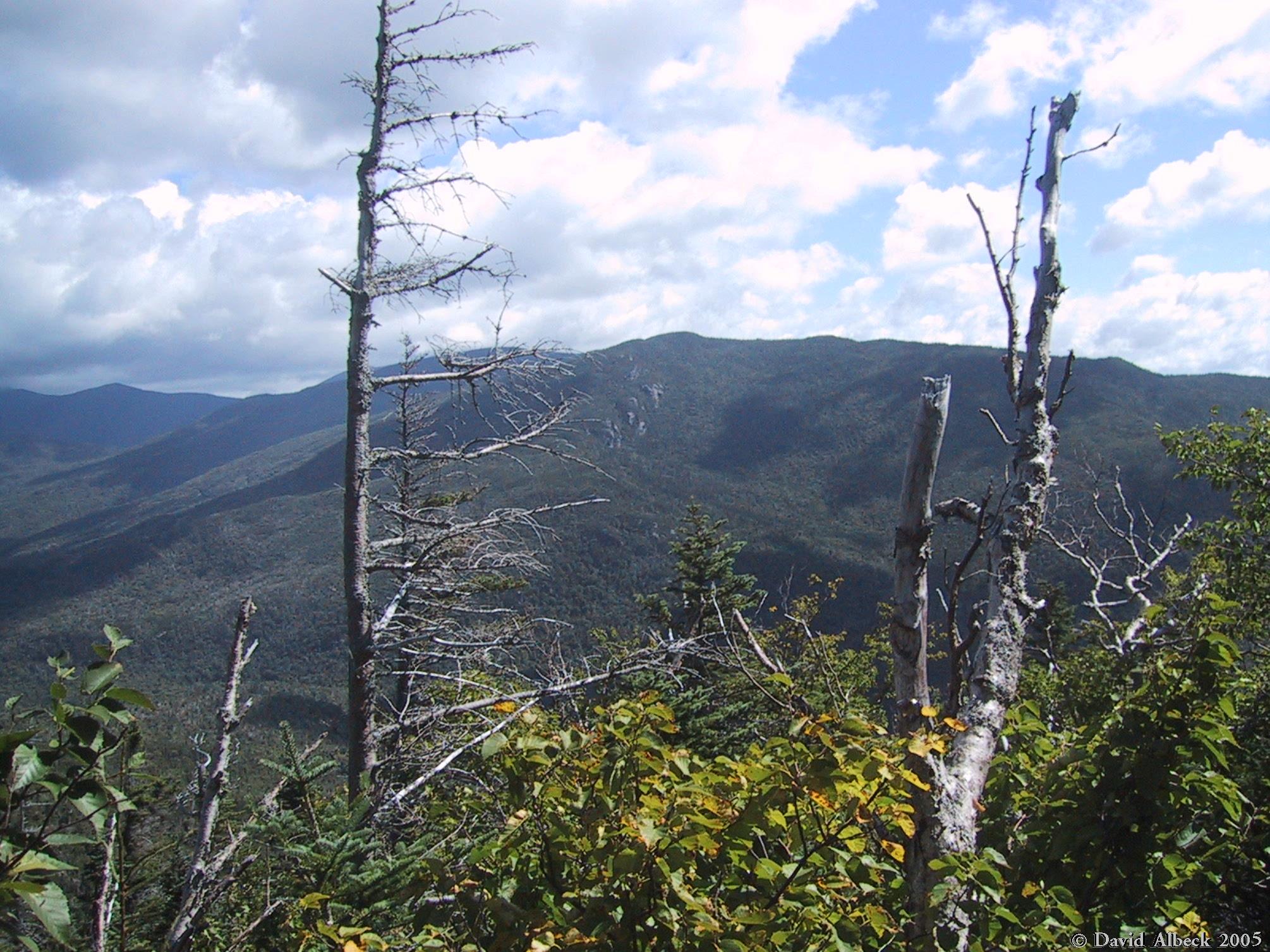
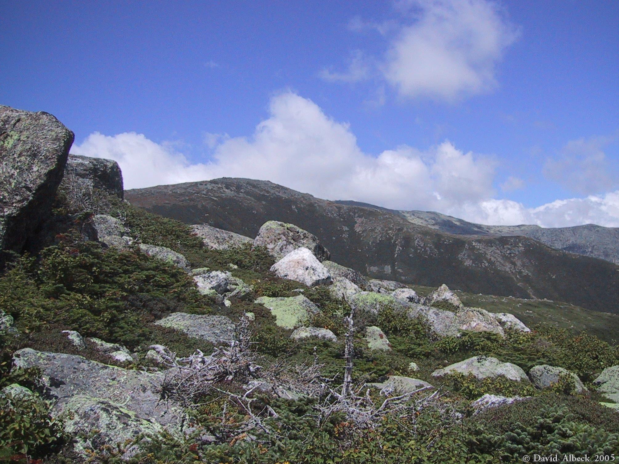
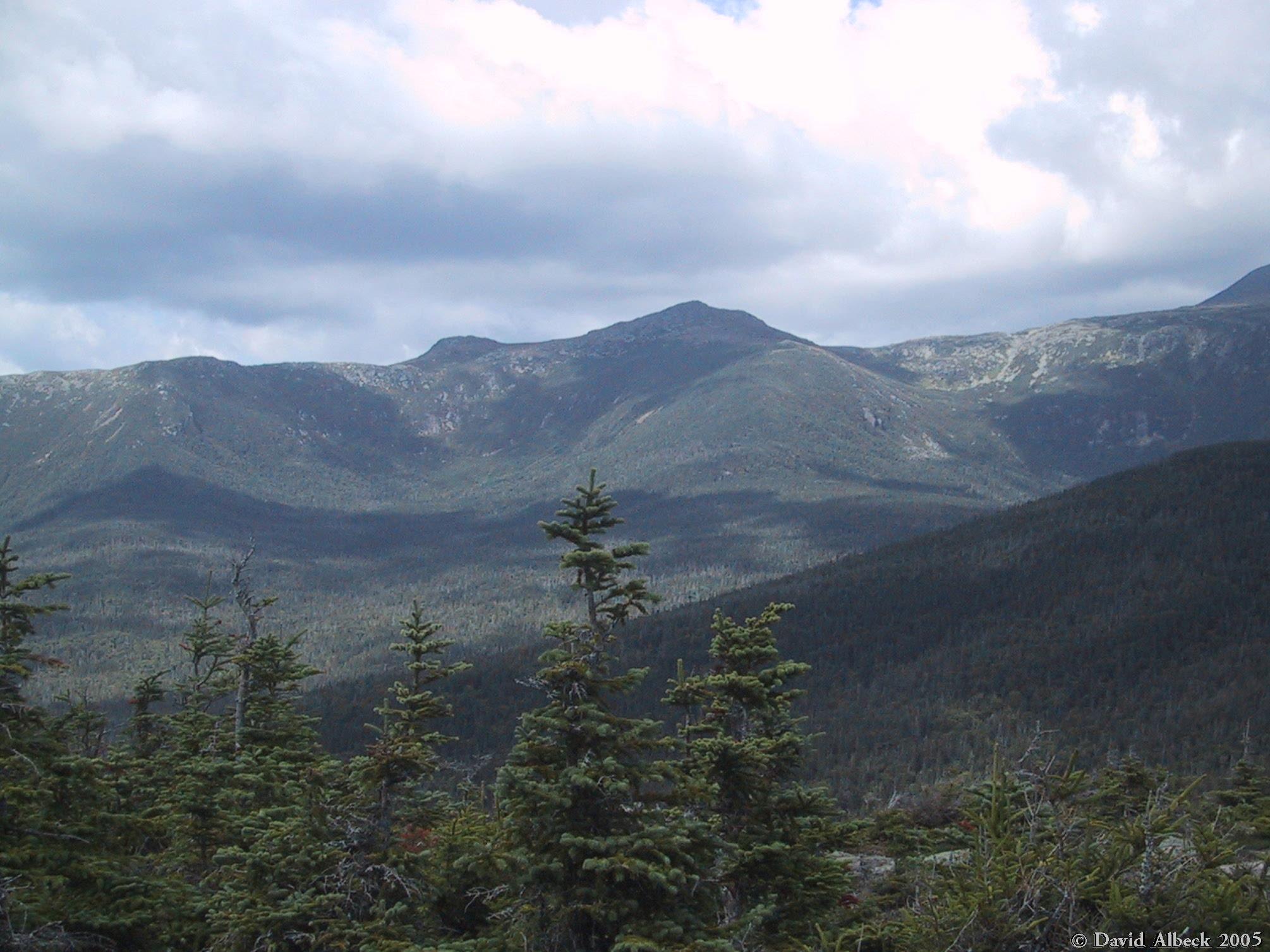
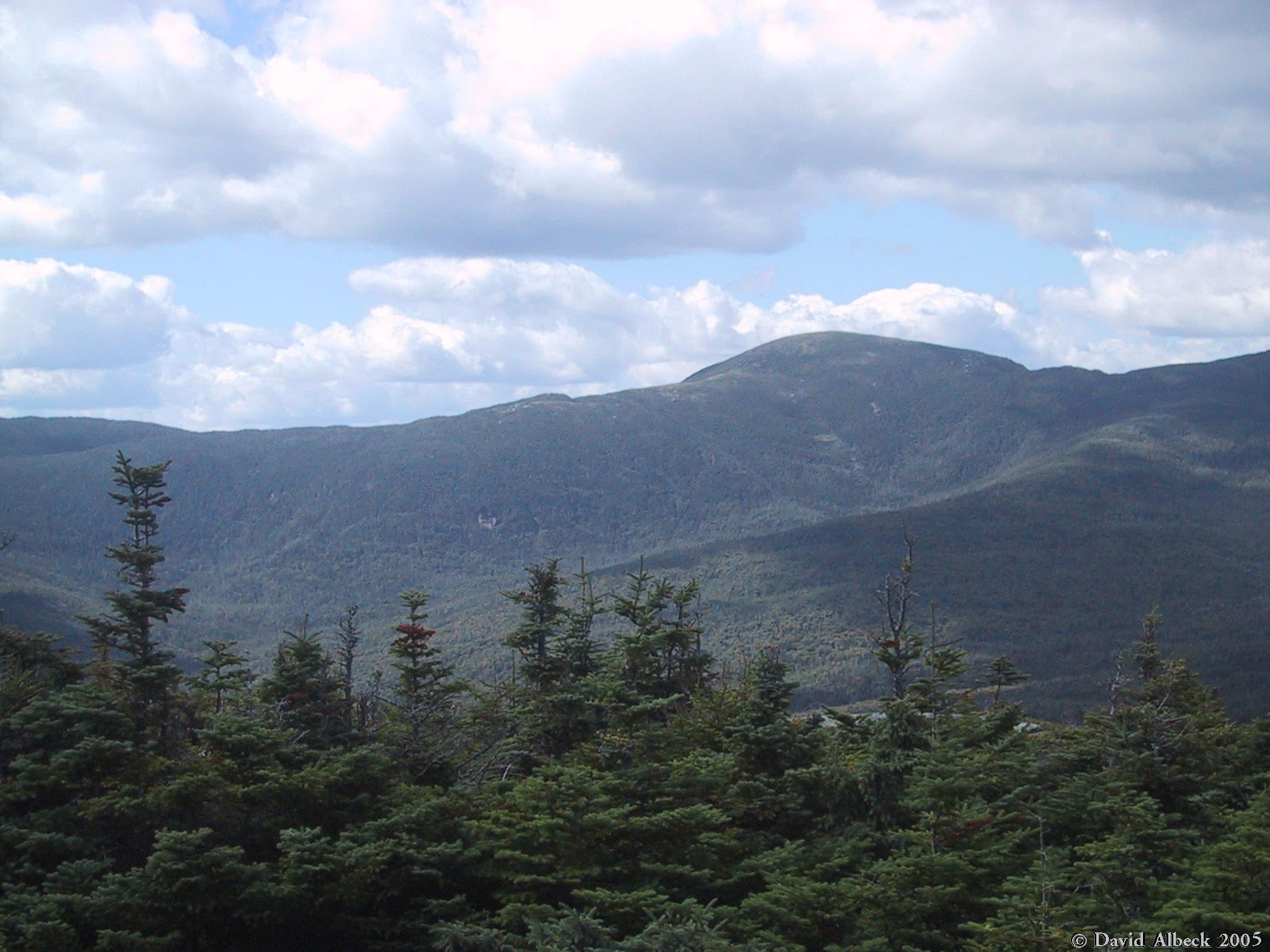
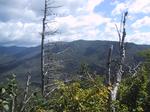
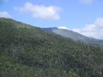
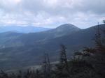
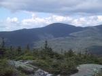
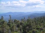
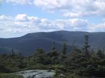
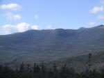
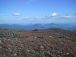
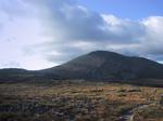
Once you reach treeline, you've got views of Wildcat Mountain to the east.
|
|
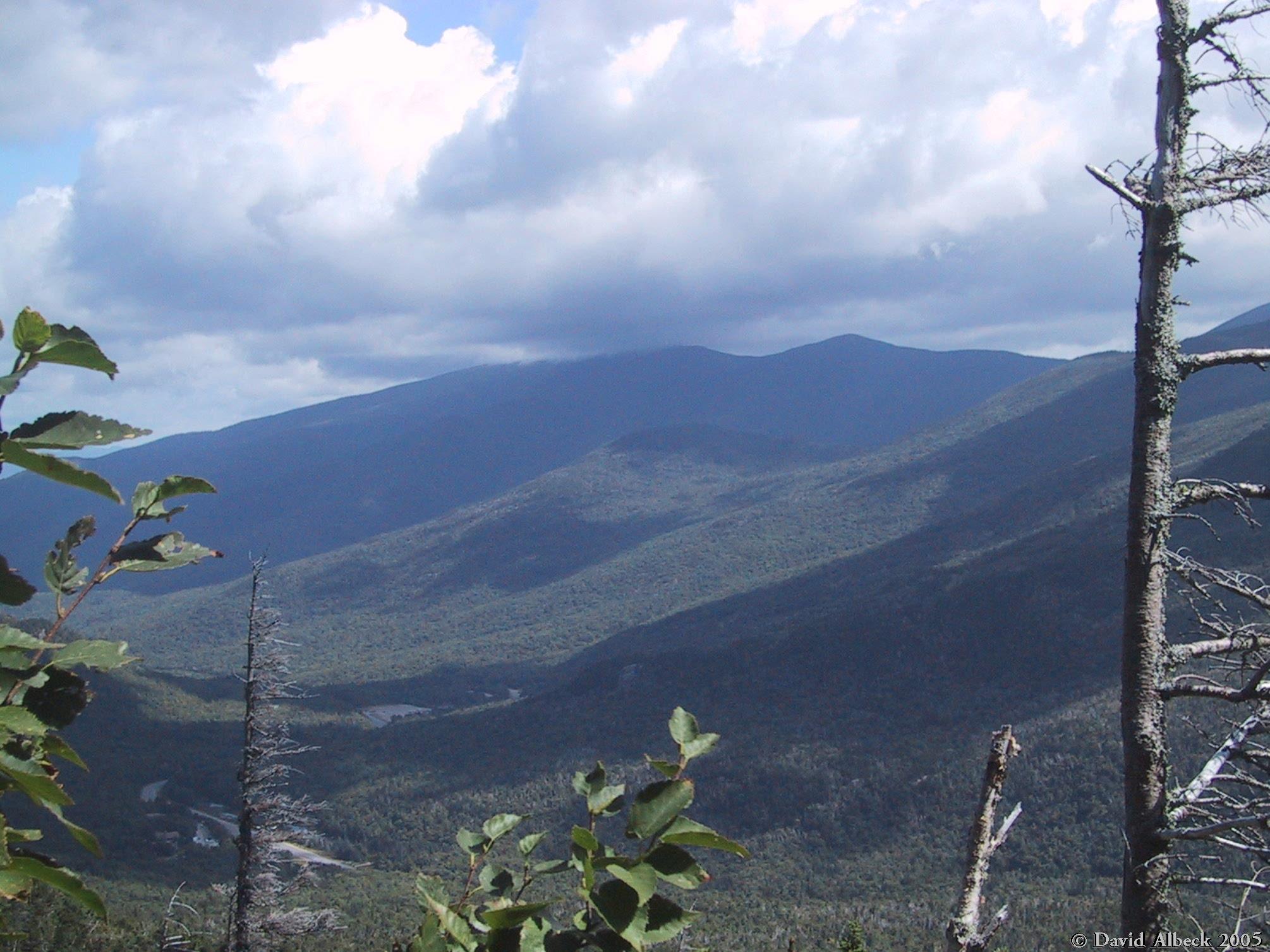
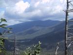
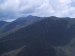
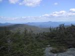
View northeast, over Pinkham Notch to the Carter Range.
|
|
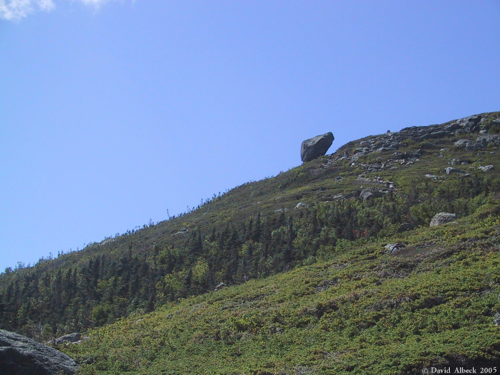
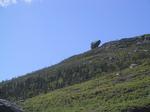
The Glen Boulder, seen from below. For a sense of scale, look for the hiker with pale blue pants.
|
|
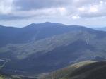
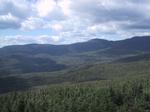
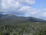
From near Glen Boulder, a view over Wildcat Mountain (you can see the ski lodge) to the southern
Carter Range.
|
|
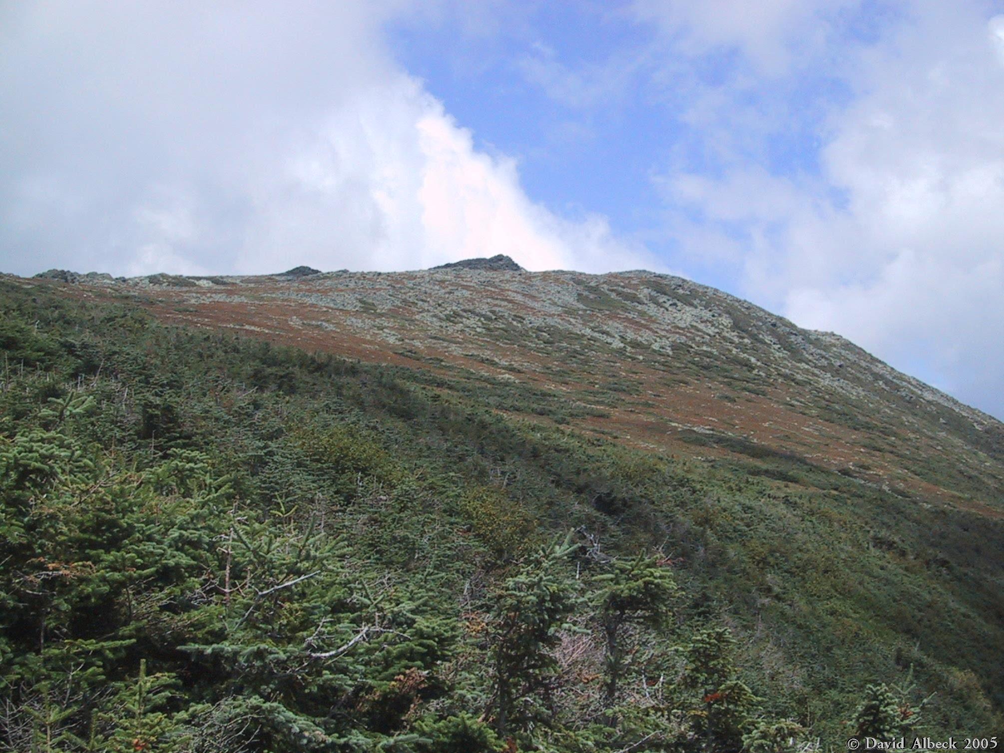
Climbing higher, the slopes of Nelson Crag become visible. At the left edge of the photo you
can also see Split Rock.
|

|
The trail just above Glen Boulder, with Pinkham Notch in the background.
|
|
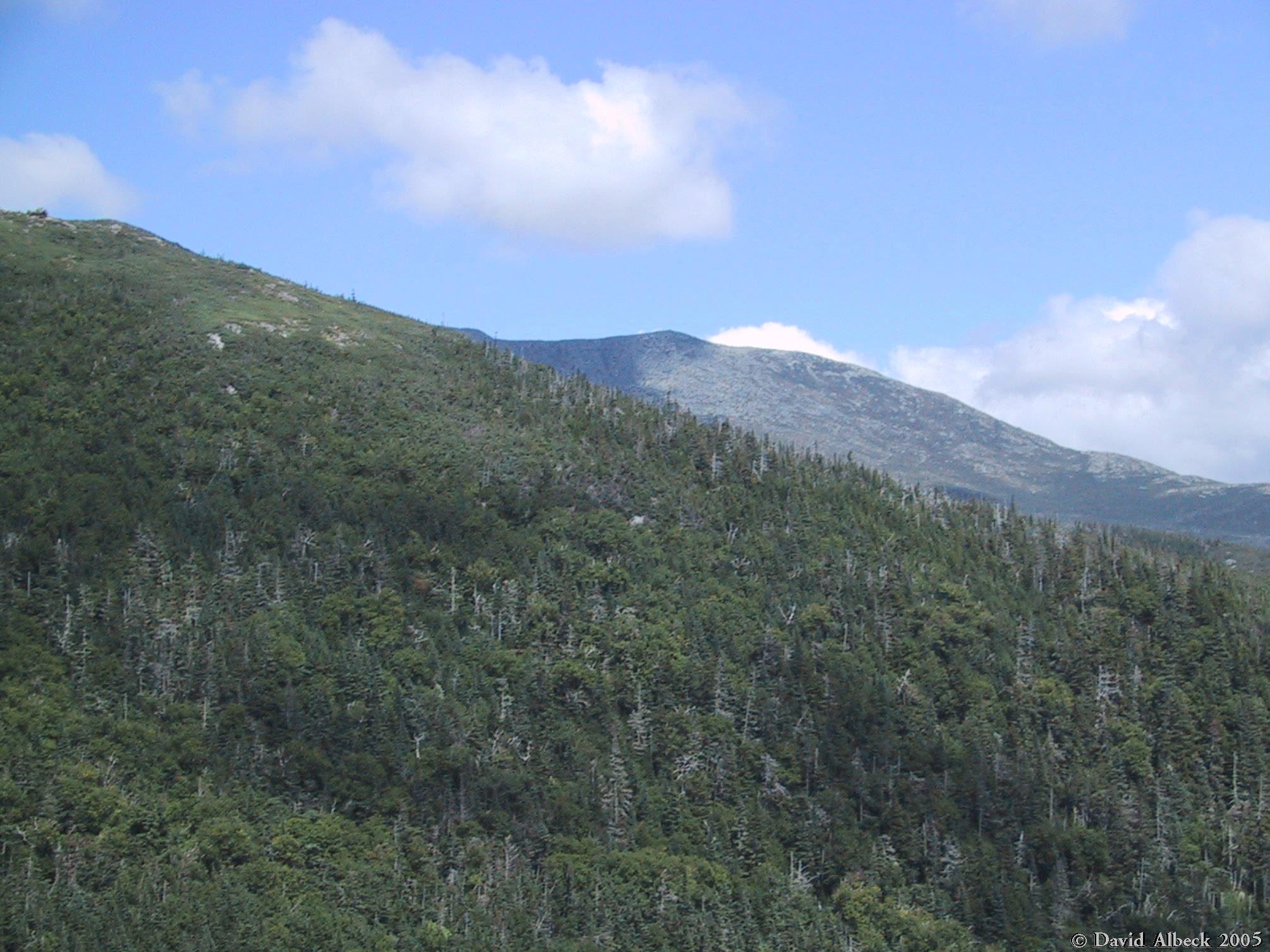
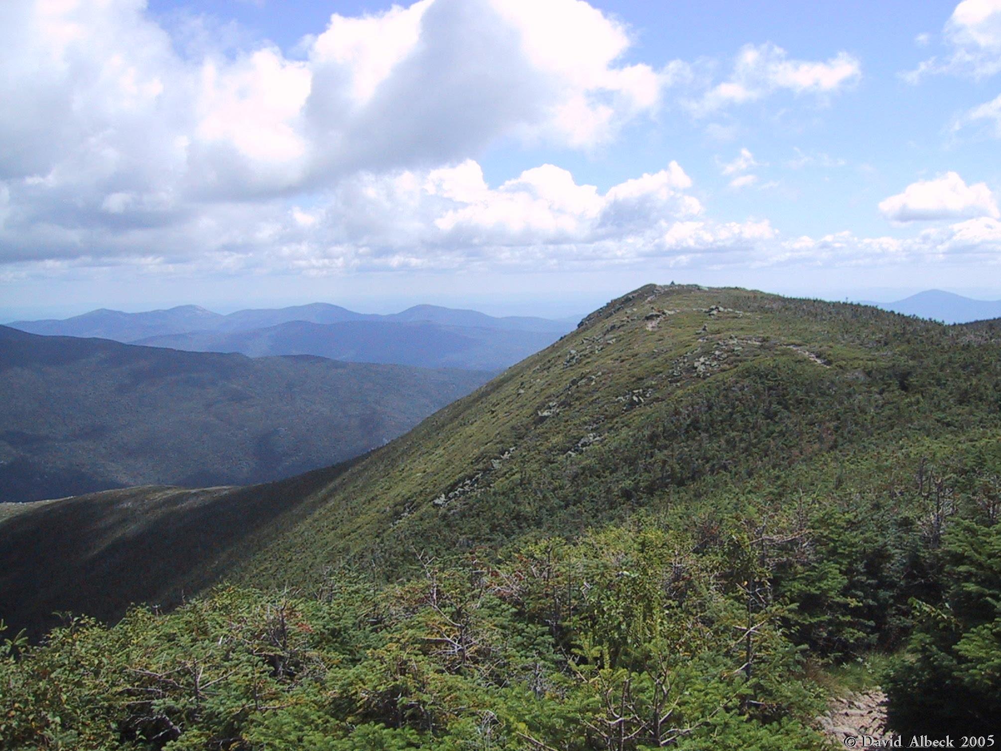
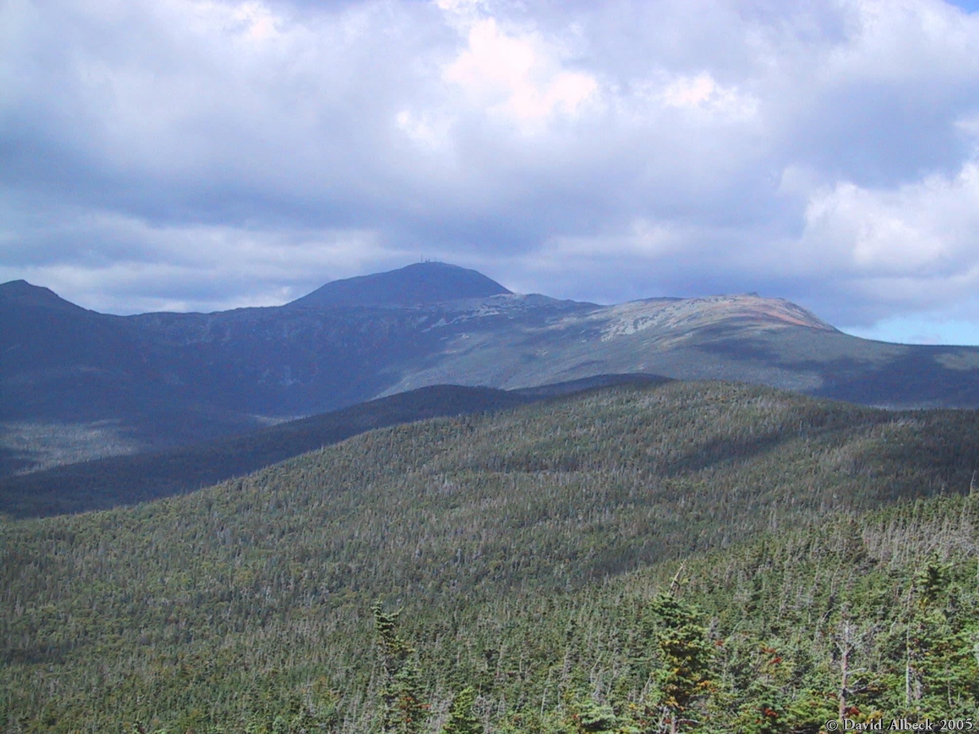
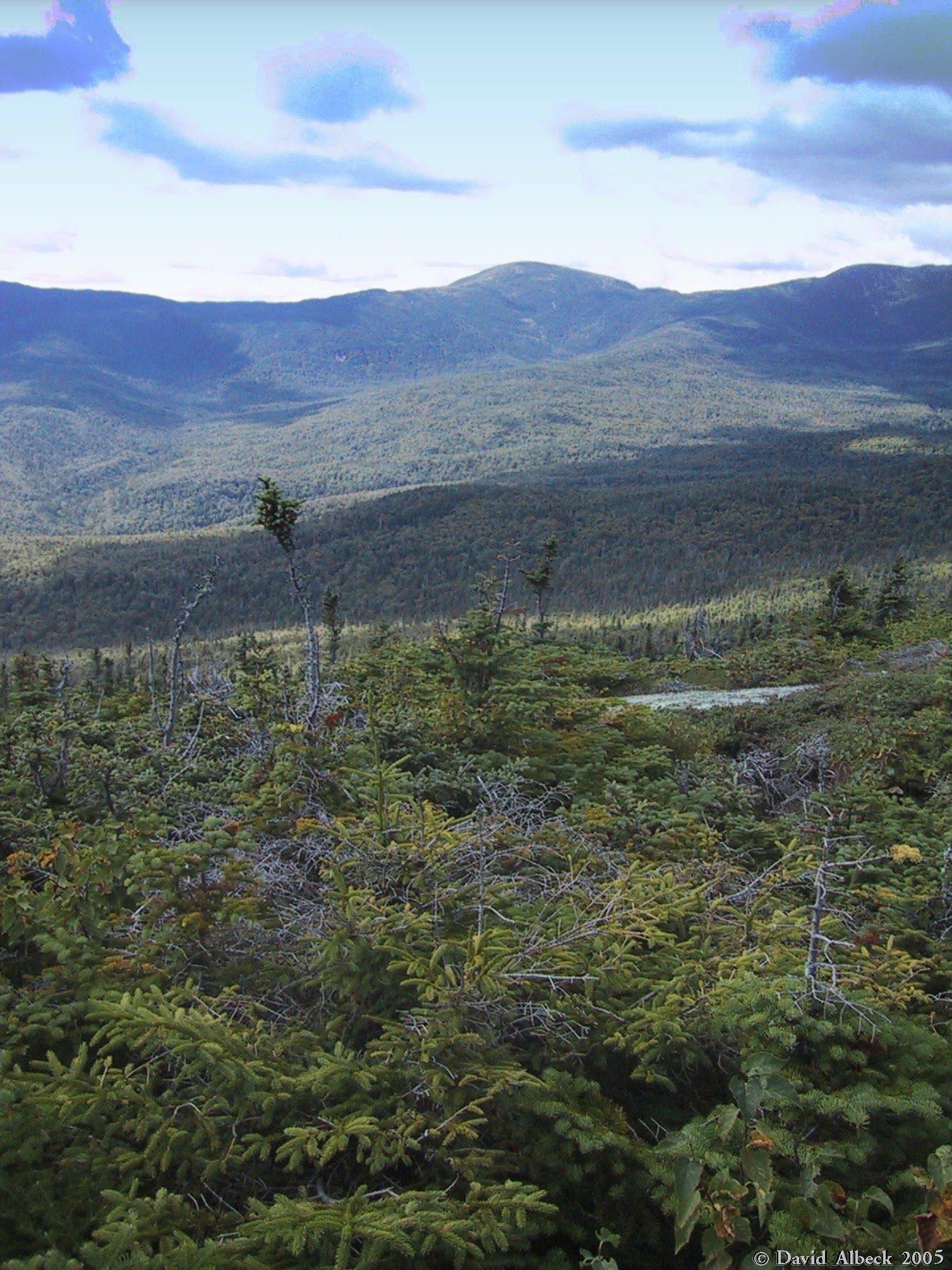
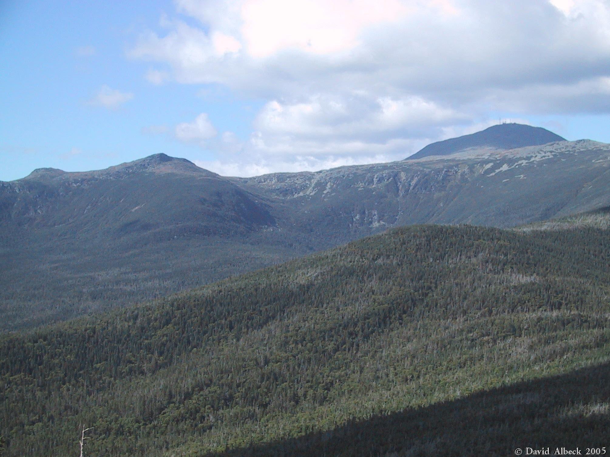
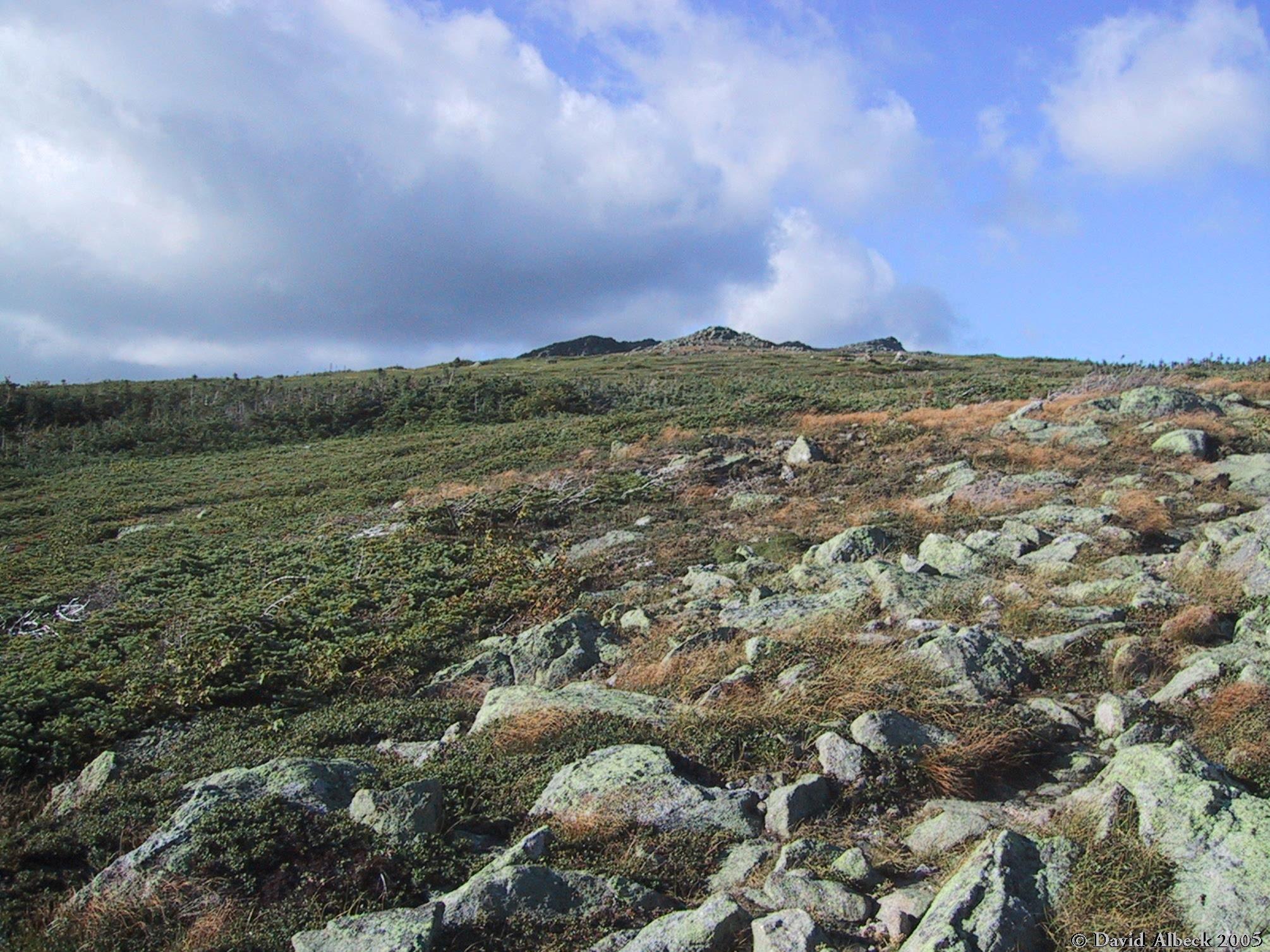
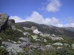
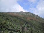
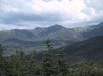
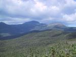
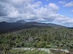
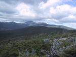
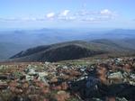
Climbing further, you can sense that the ridges of Boott Spur and Nelson Crag will converge,
even though the summit is not yet visible.
|
|
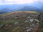
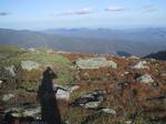
Looking east-southeast from Slide Peak.
|
|
Looking up to Boott Spur from Slide Peak.
|
|
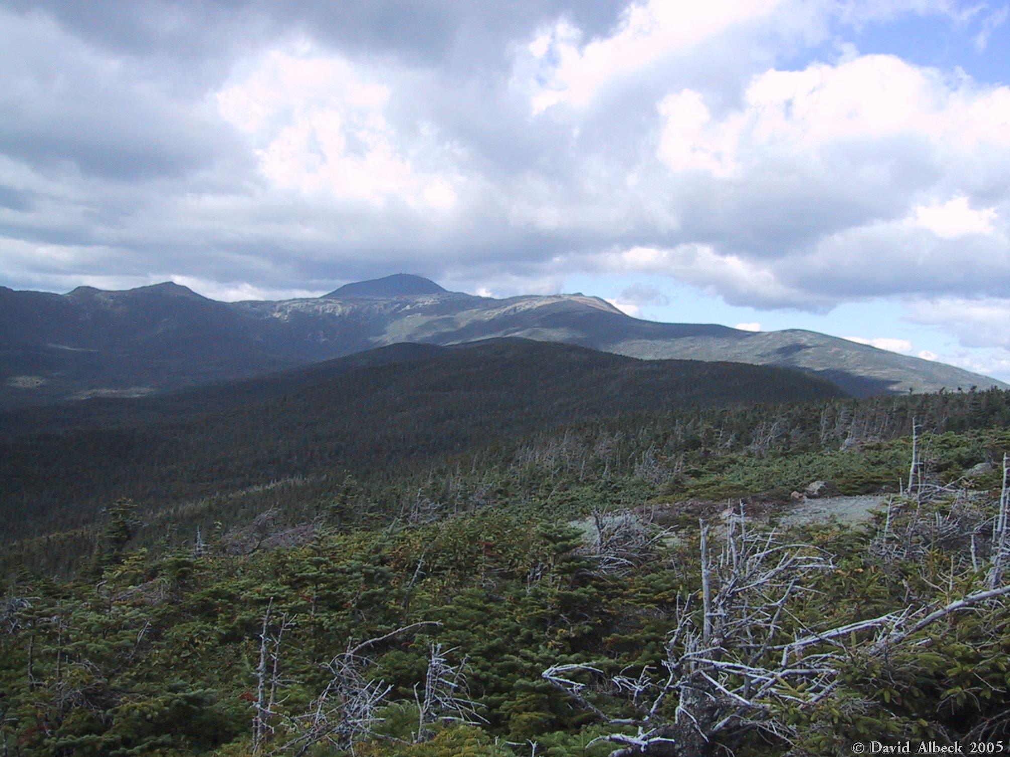
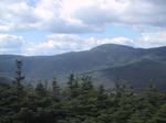
Another view from Slide Peak: the ski slopes of Wildcat with Carter Dome and Mt Hight behind.
|
|
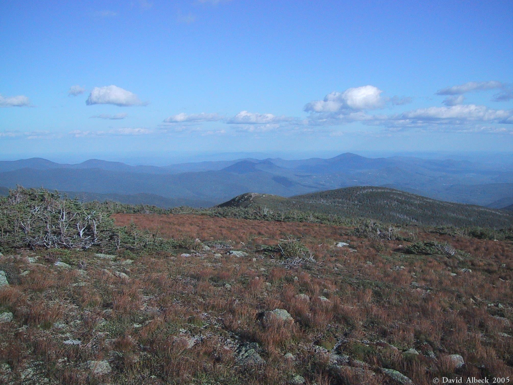
Looking south down the uppermost section of the Glen Boulder Trail, not far below Boott Spur.
|
|
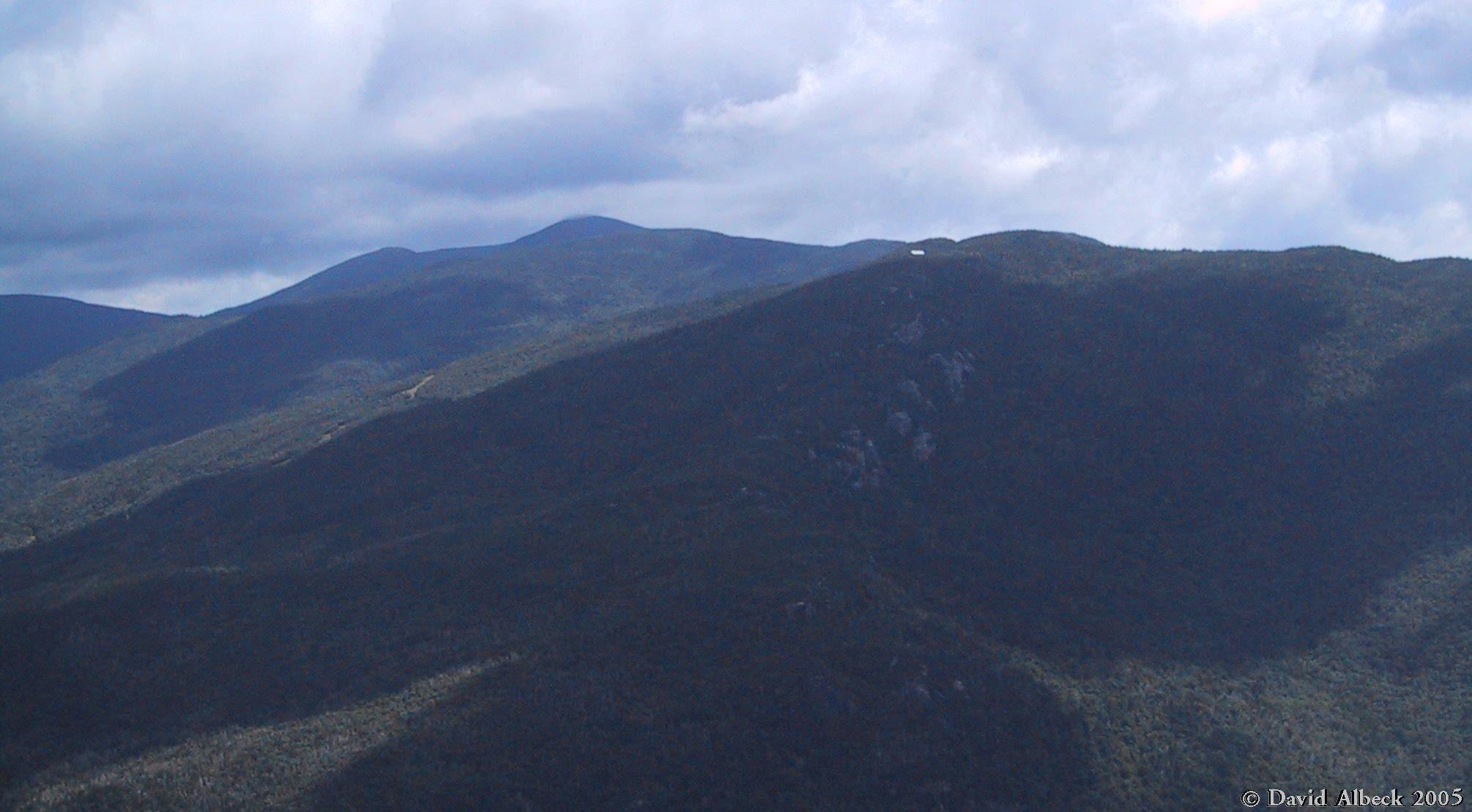
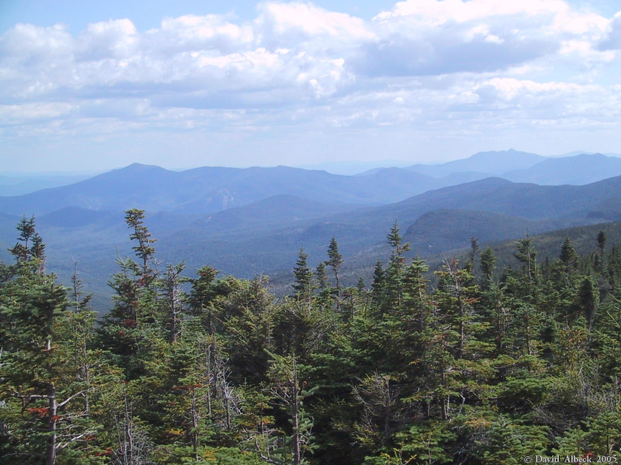
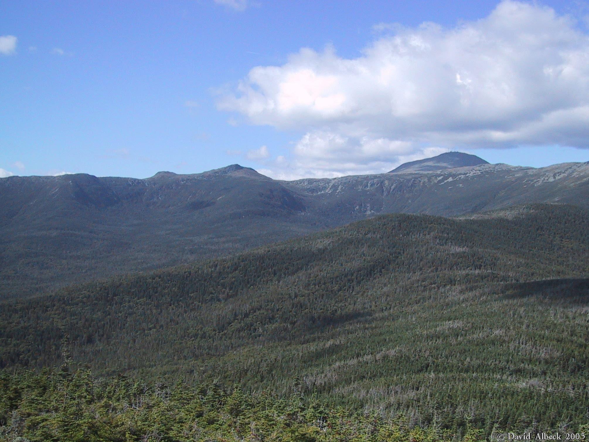
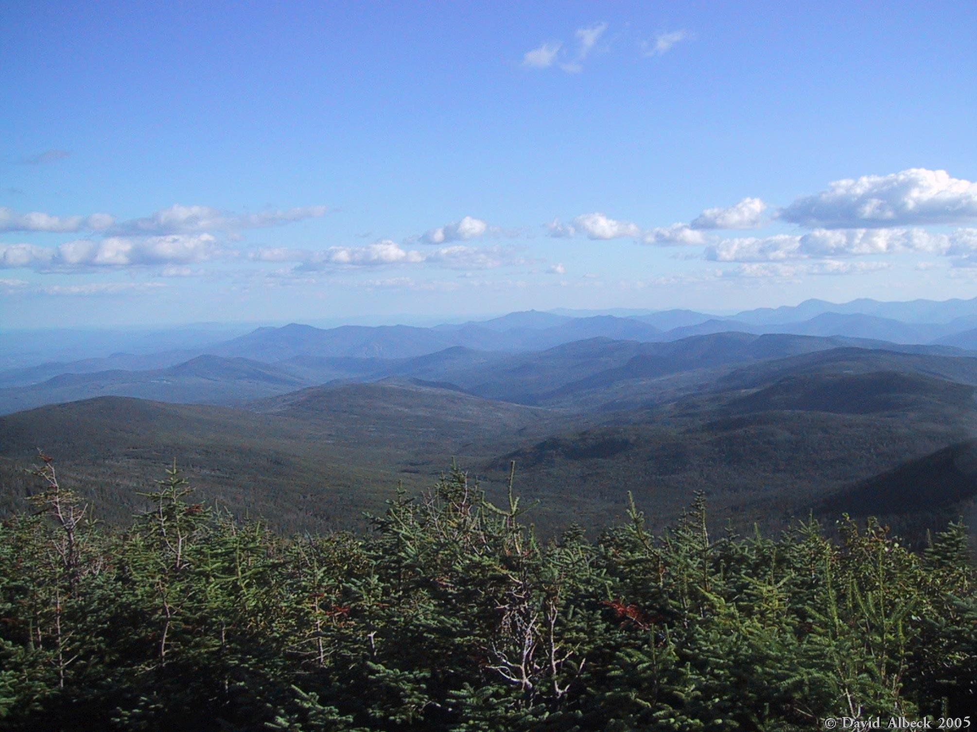
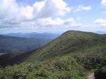
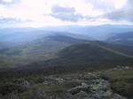
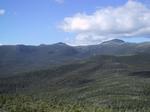
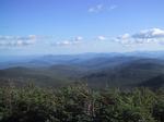
While descending Davis Path, a view ahead along Montalban Ridge. If you look closely you might be
able to see the bare patch at the summit of Mt Isolation.
|
|
From treeline on Davis Path, a view west-southwest to Mt Eisenhower.
|
|
From the summit of Mt Isolation, view southeast to Kearsarge North.
|
|
Mt Monroe from Mt Isolation.
|
|
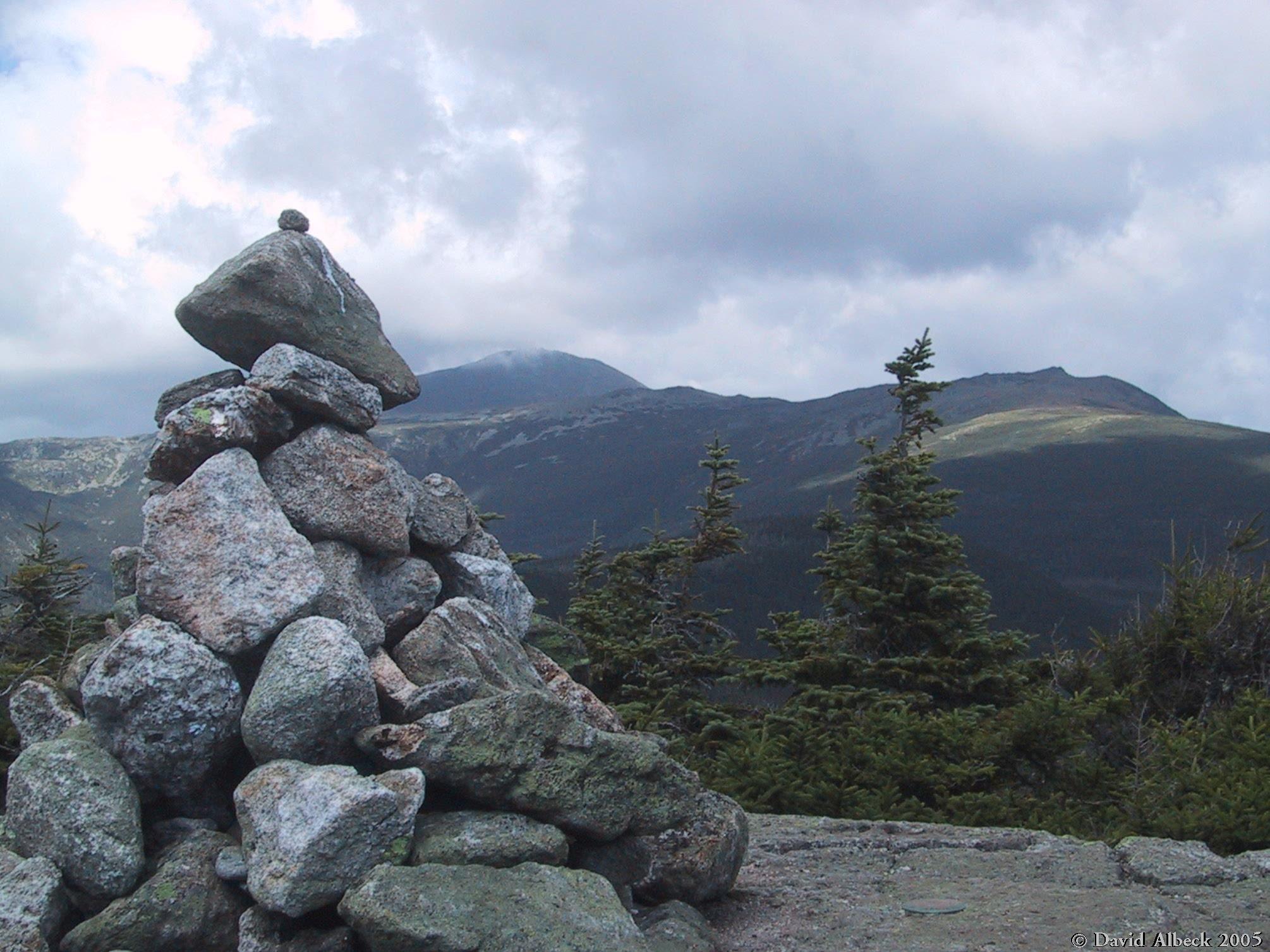
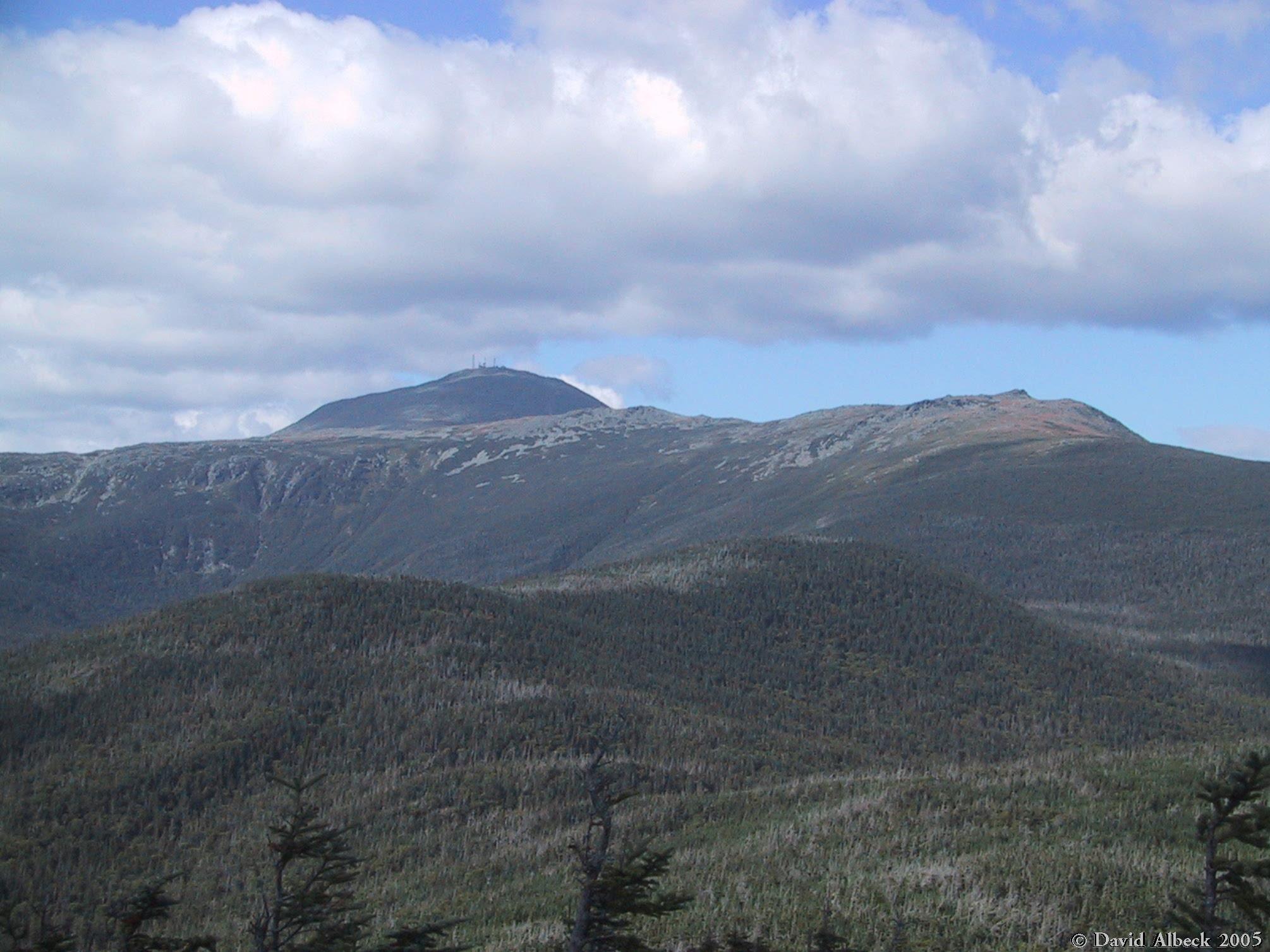
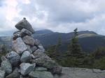
The summit cairn on Mt Isolation, with Mt Washington in the background.
|
|
Mt Eisenhower from Mt Isolation.
|
|
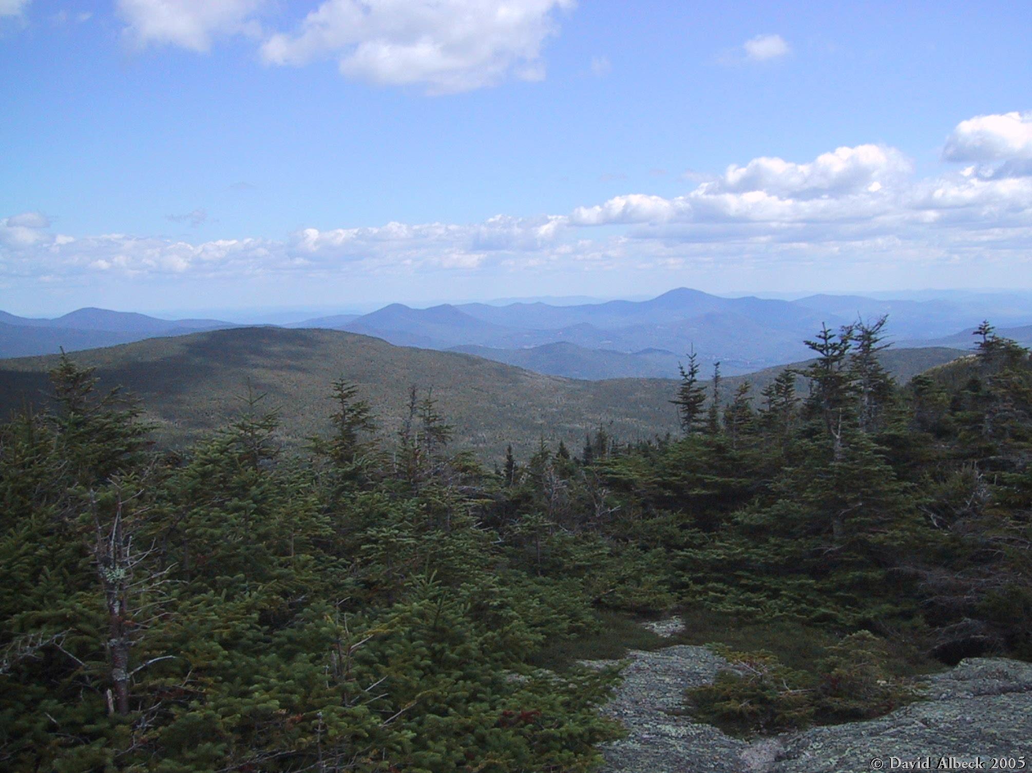
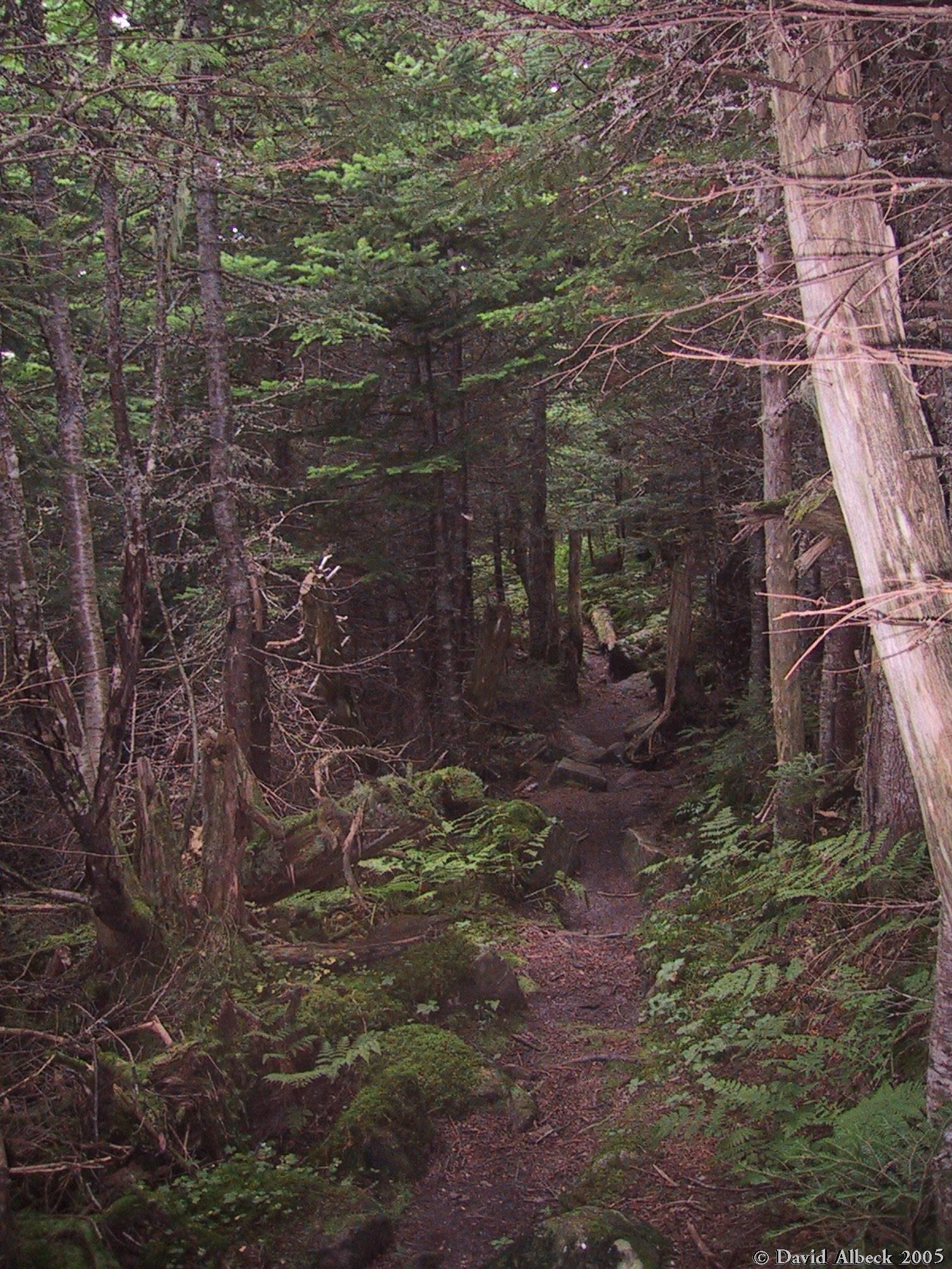
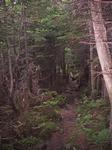
A wooded section of Davis Path, between Mt Isolation and Mt Davis.
|
|
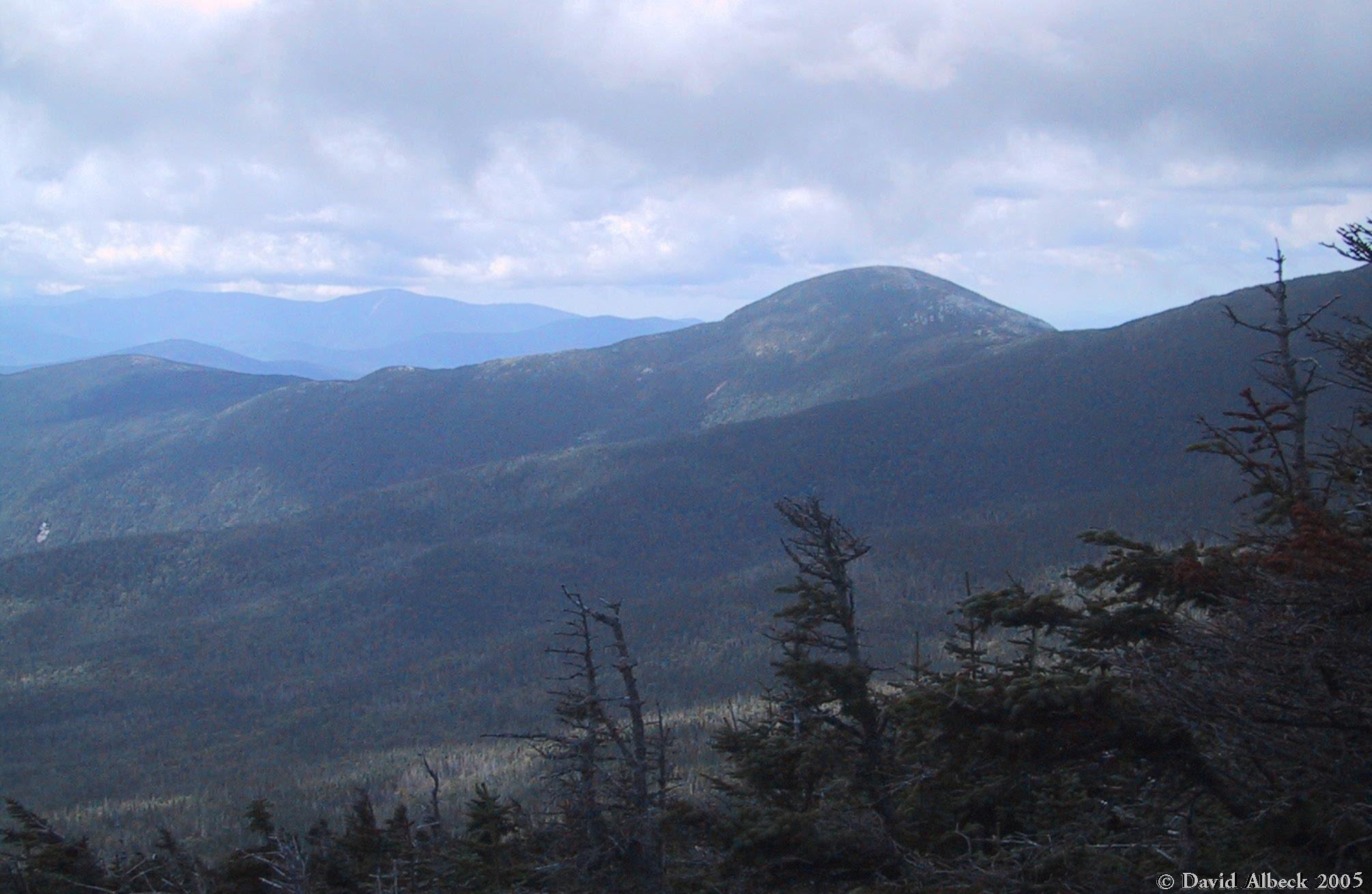
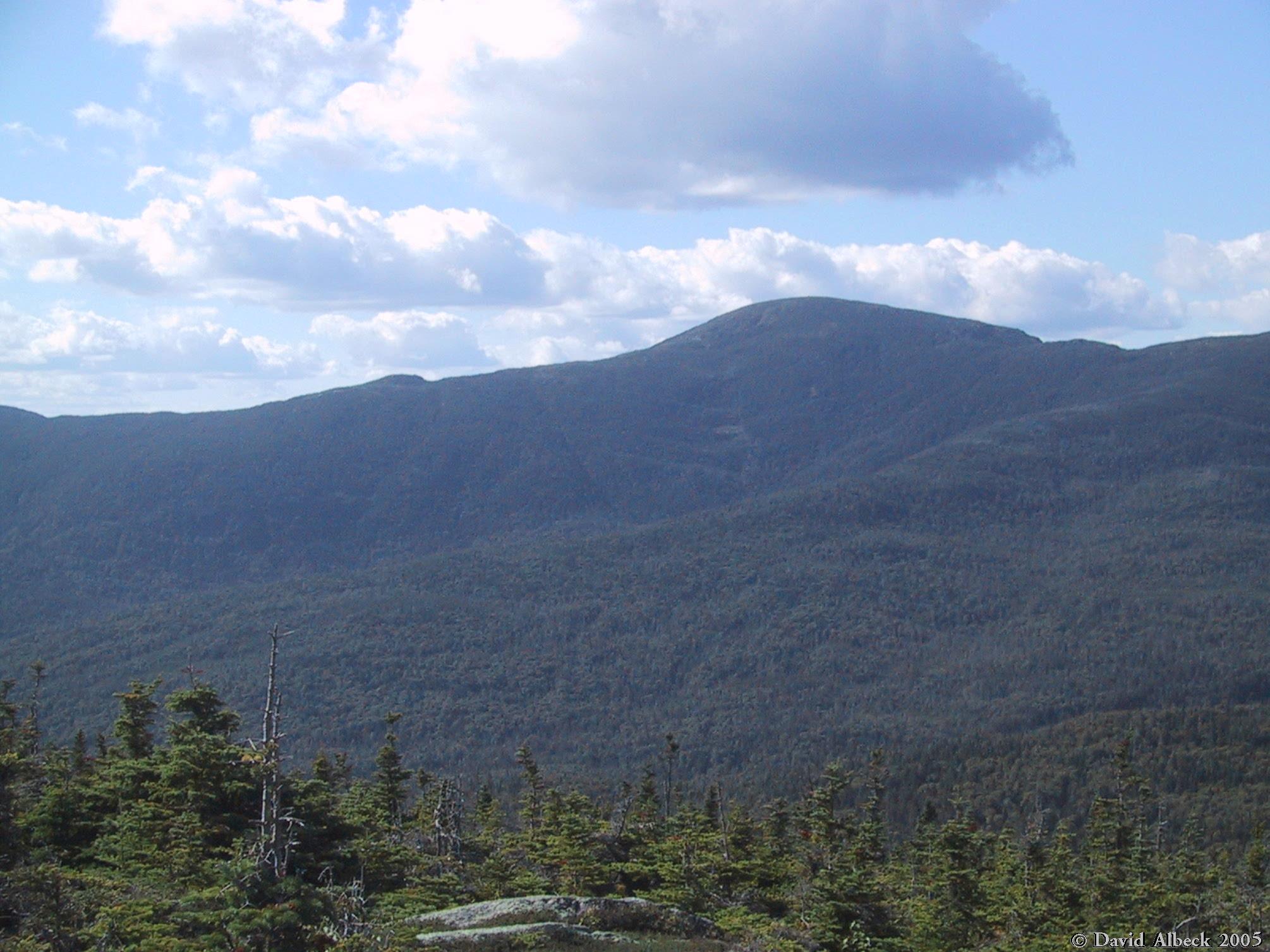
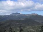
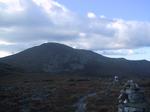
From Mt Davis, a view of Mt Eisenhower and Mt Pierce.
|
|
Mt Washington provides the backdrop; Mt Isolation is in the foreground.
|
|
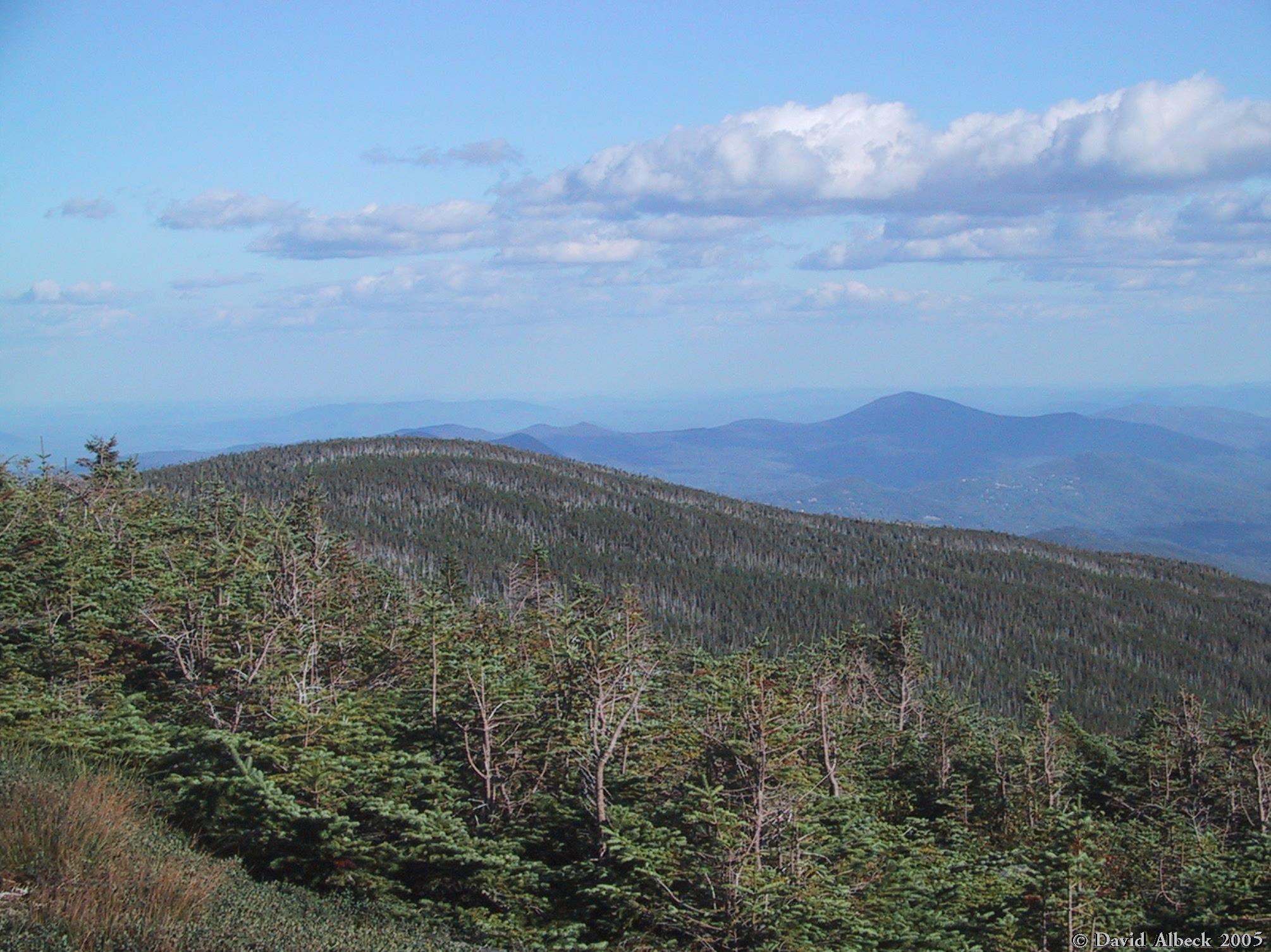
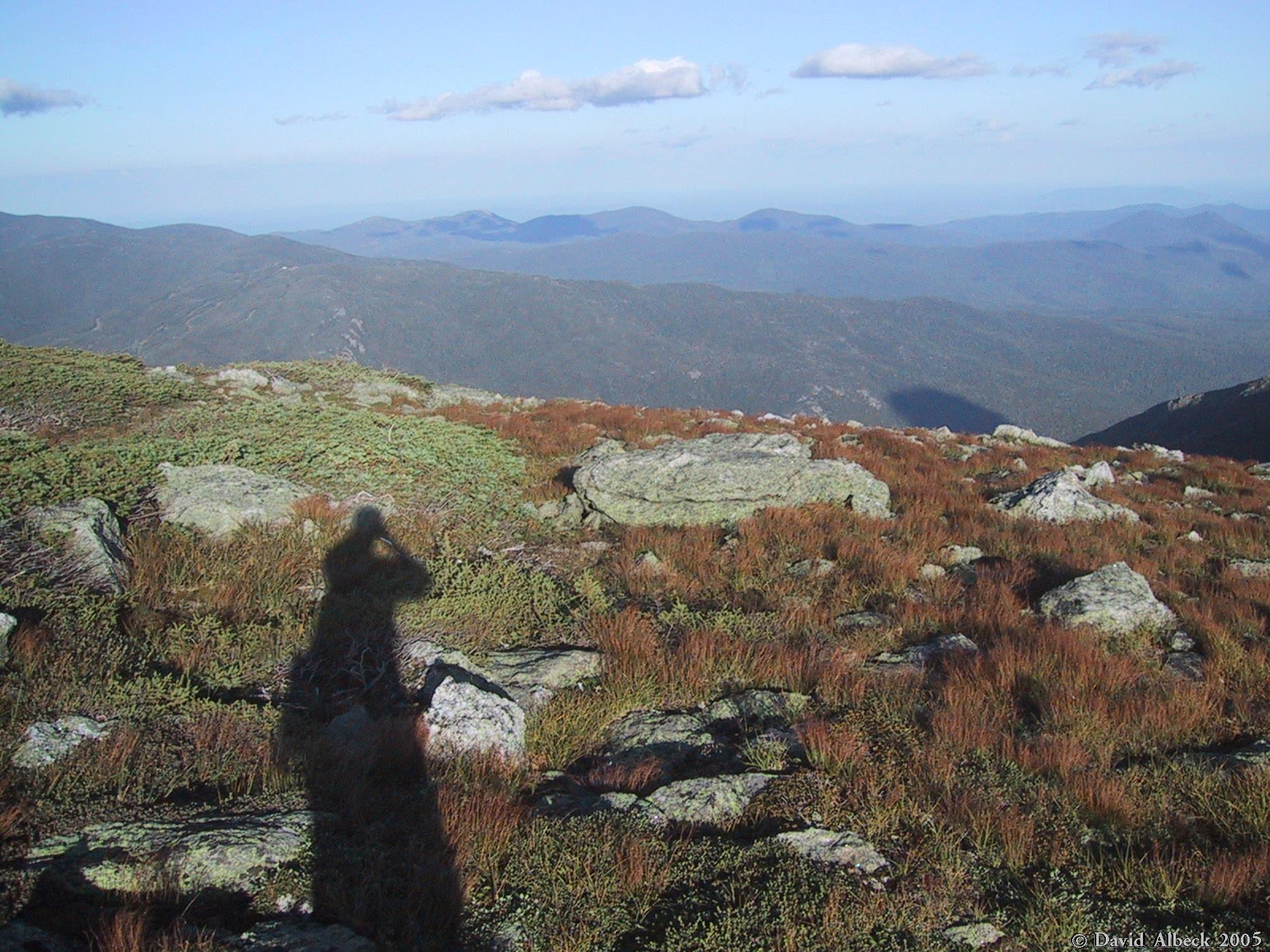
I'm convinced that's Mt Chorocua on the horizon, about 18 miles away.
|
|
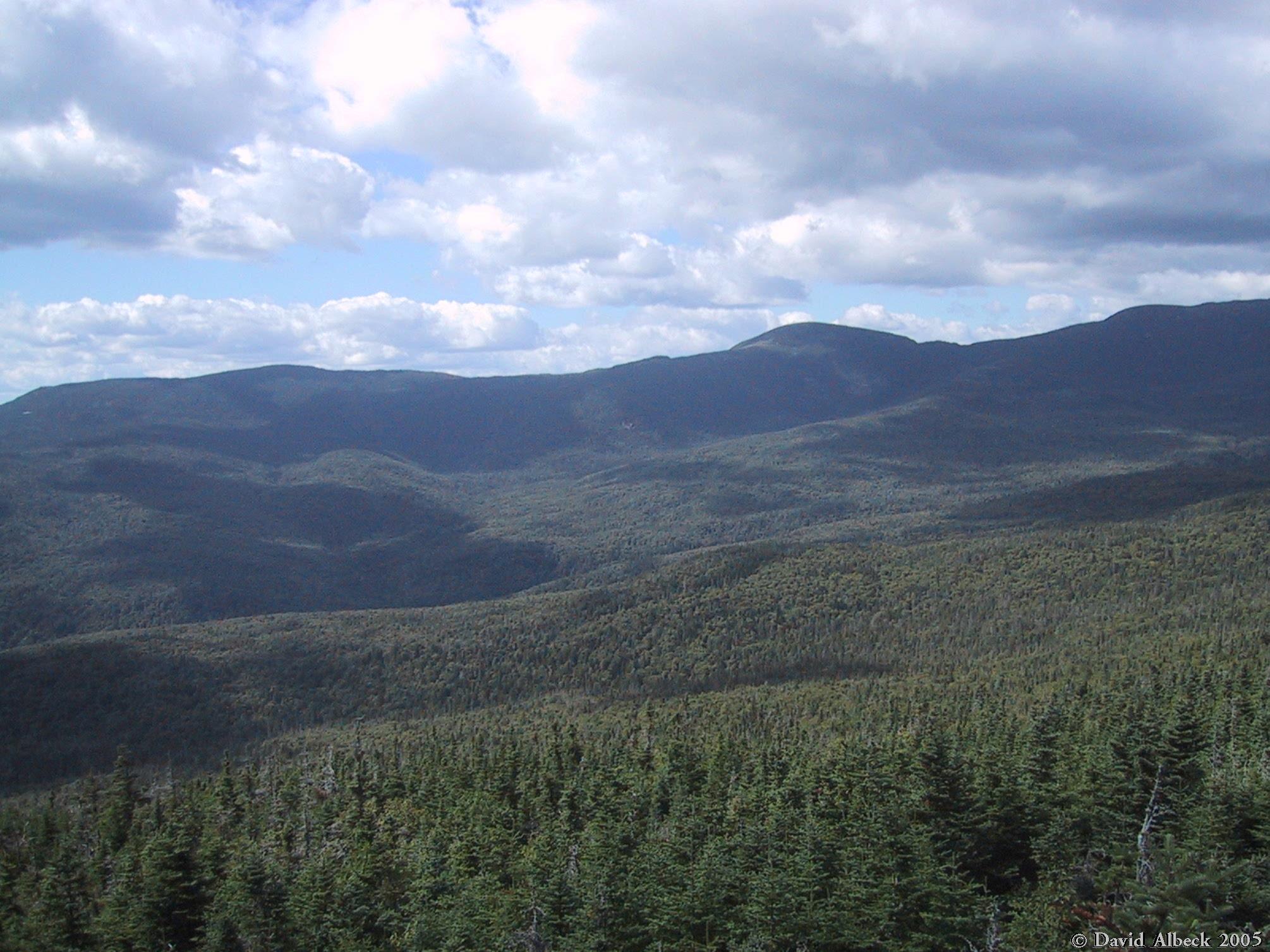
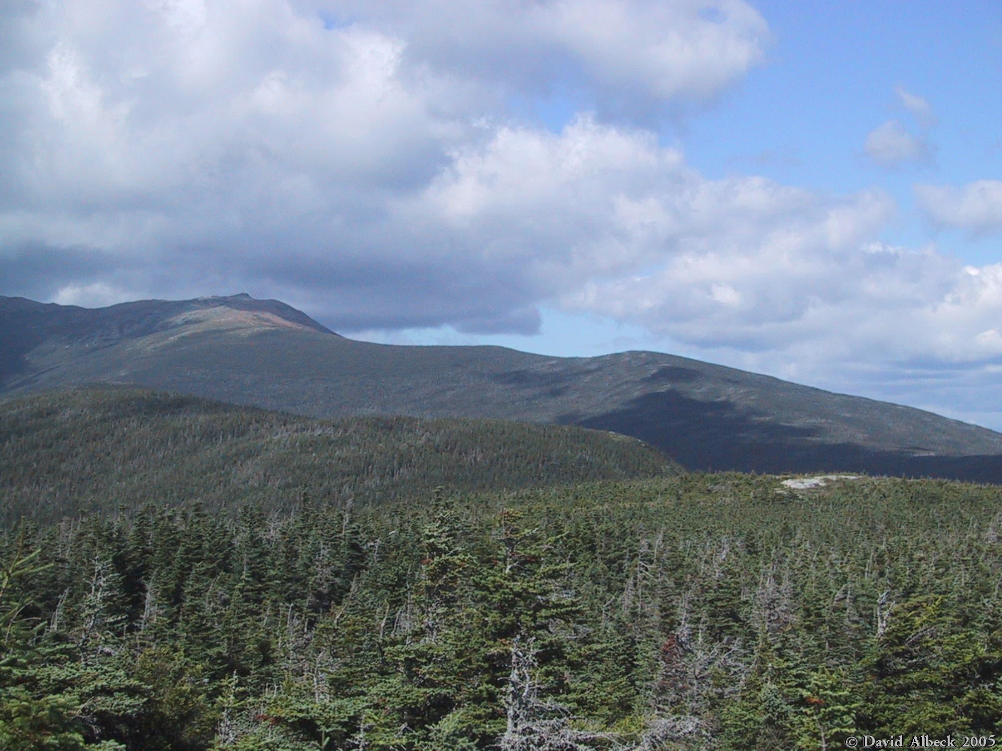
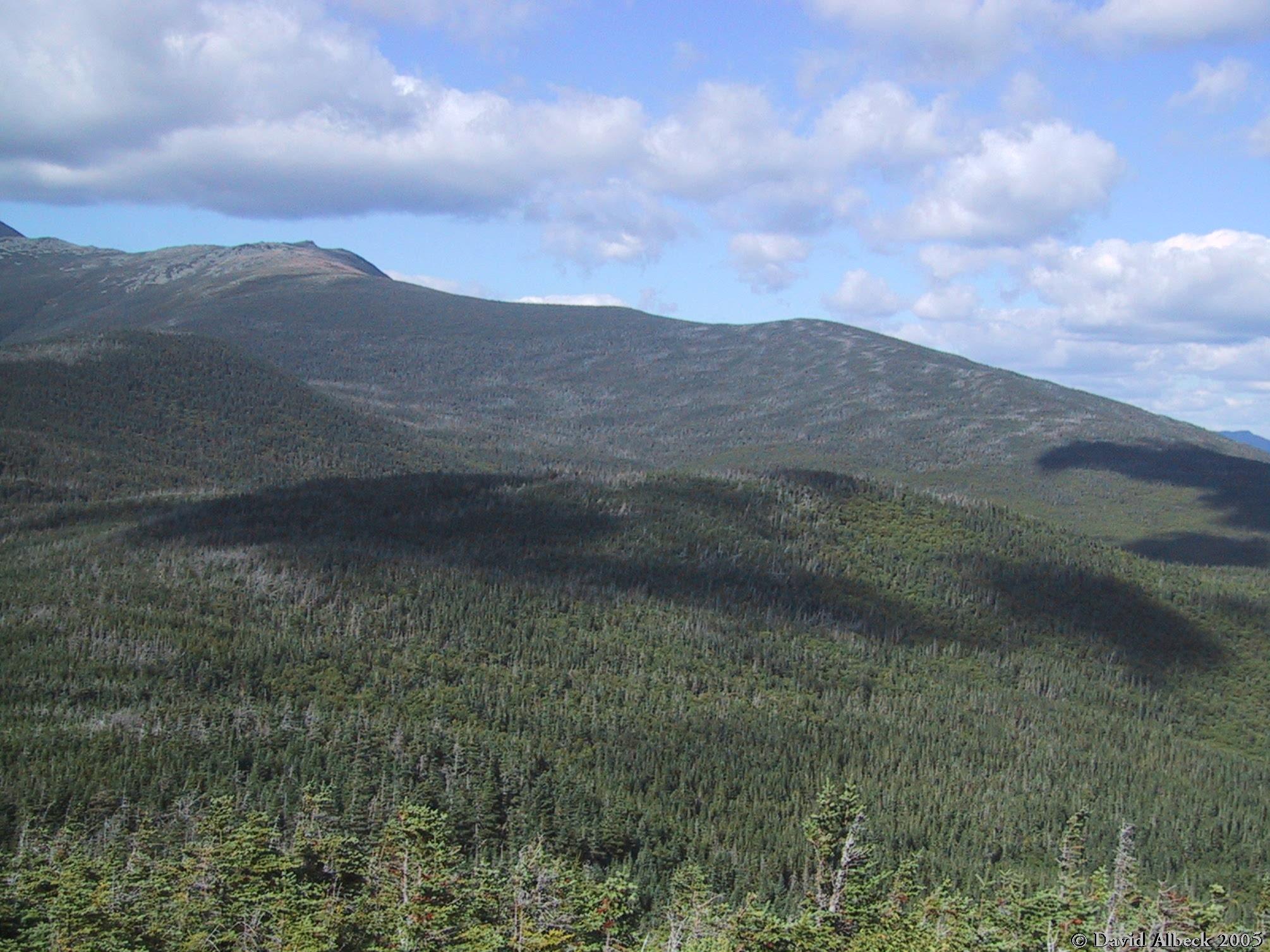
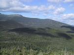
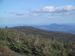
From Mt Davis, view north to Slide Peak and Boott Spur, with Mt Isolation at middle left.
|
|
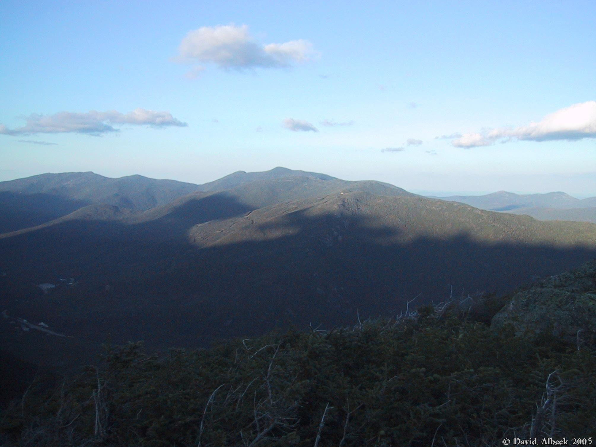
Another view northward from Mt Davis toward Mt Washington.
|
|
Eisenhower from Davis.
|
|
View west-northwest to Mt Pierce, from Mt Davis. Mizpah Hut is barely visible.
|
|
Another view of Eisenhower. This shot was originally very over-exposed; the odd colors of
the sky are the result of digital editing.
|
|
Another view northward from Mt Davis.
|
|
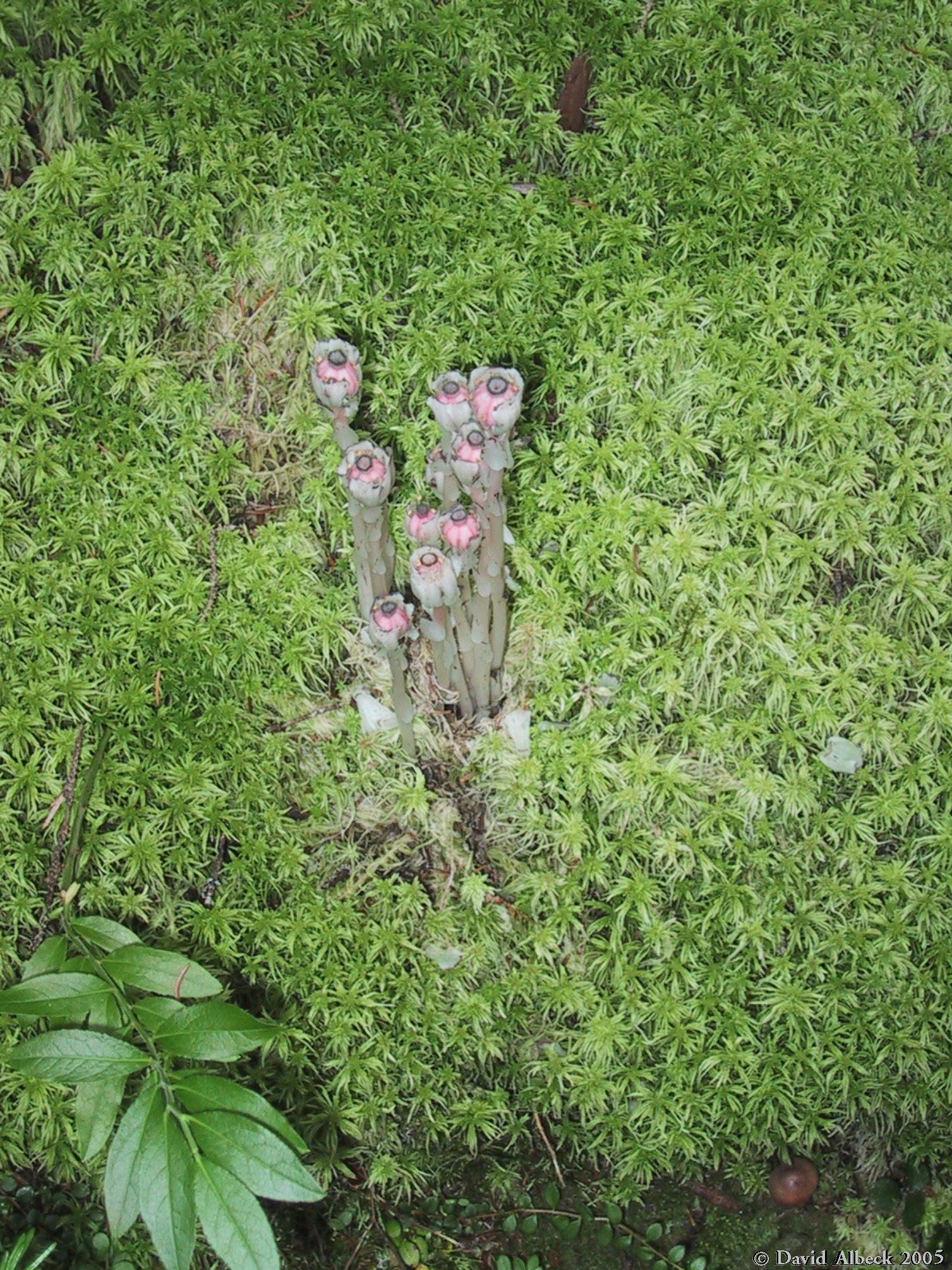
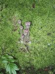
The indian pipe is ripening to a decidedly pinkish hue.
|
|
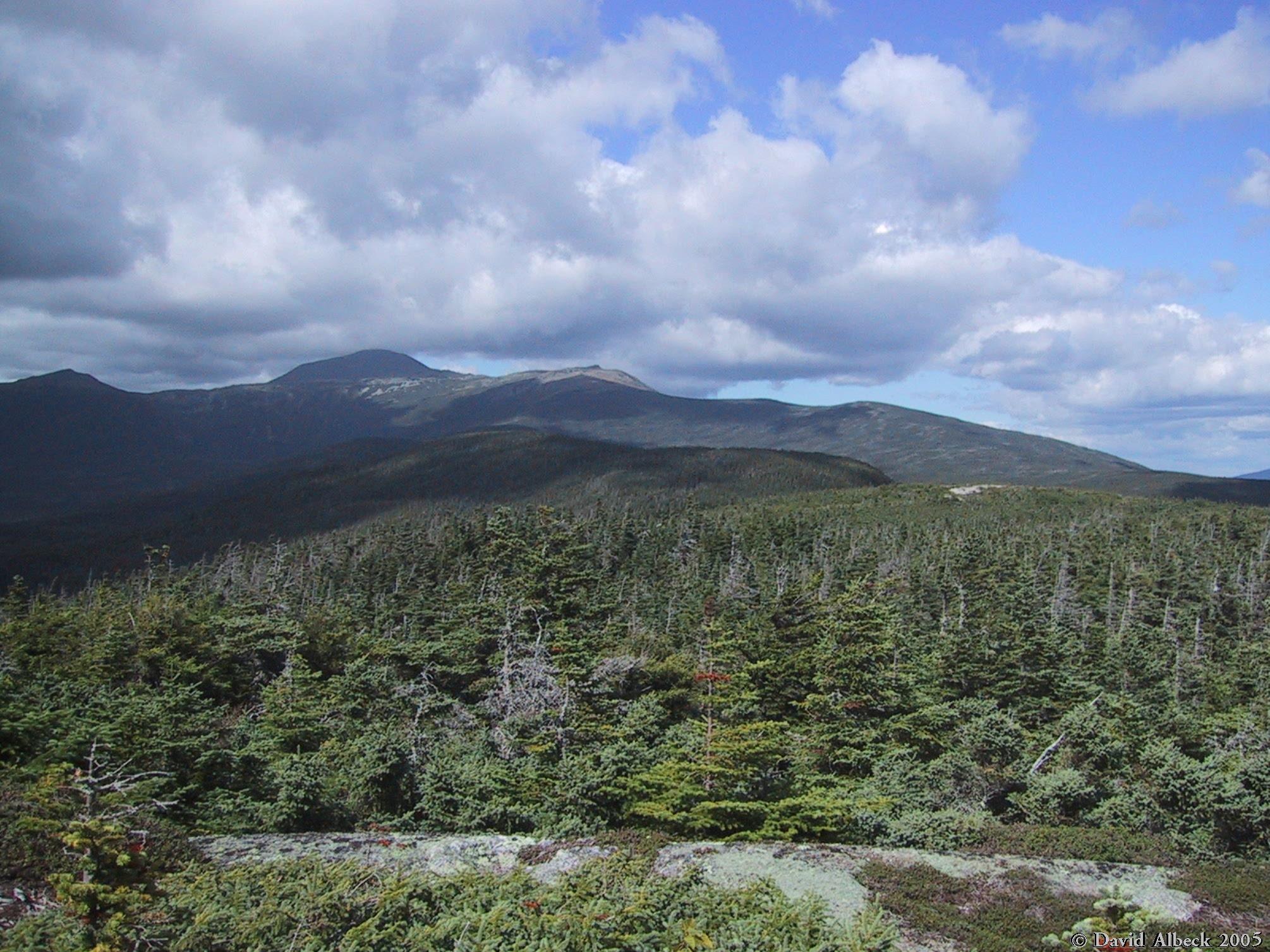
Back on top of Mt Isolation, a great view of Monroe and Washington in the afternoon light.
|
|
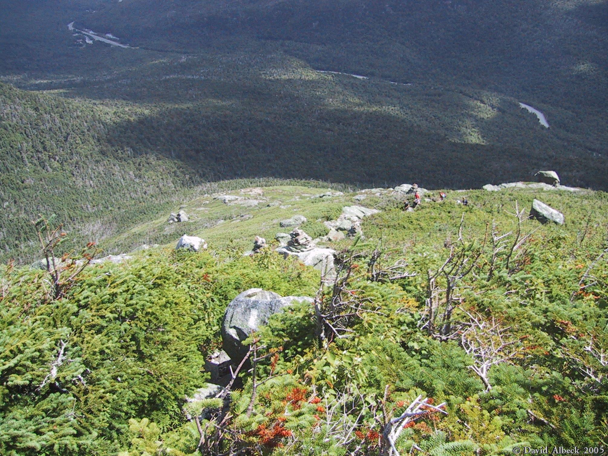
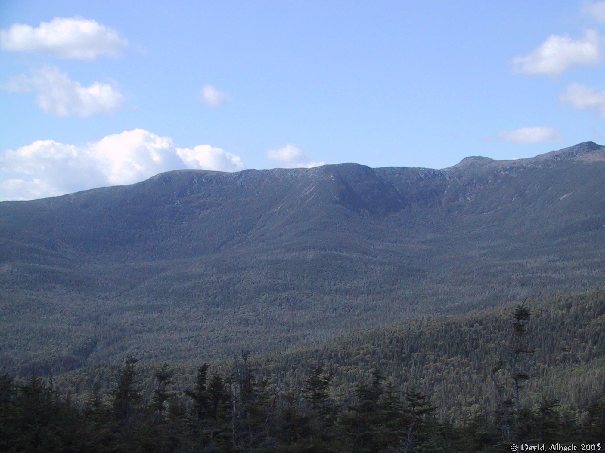
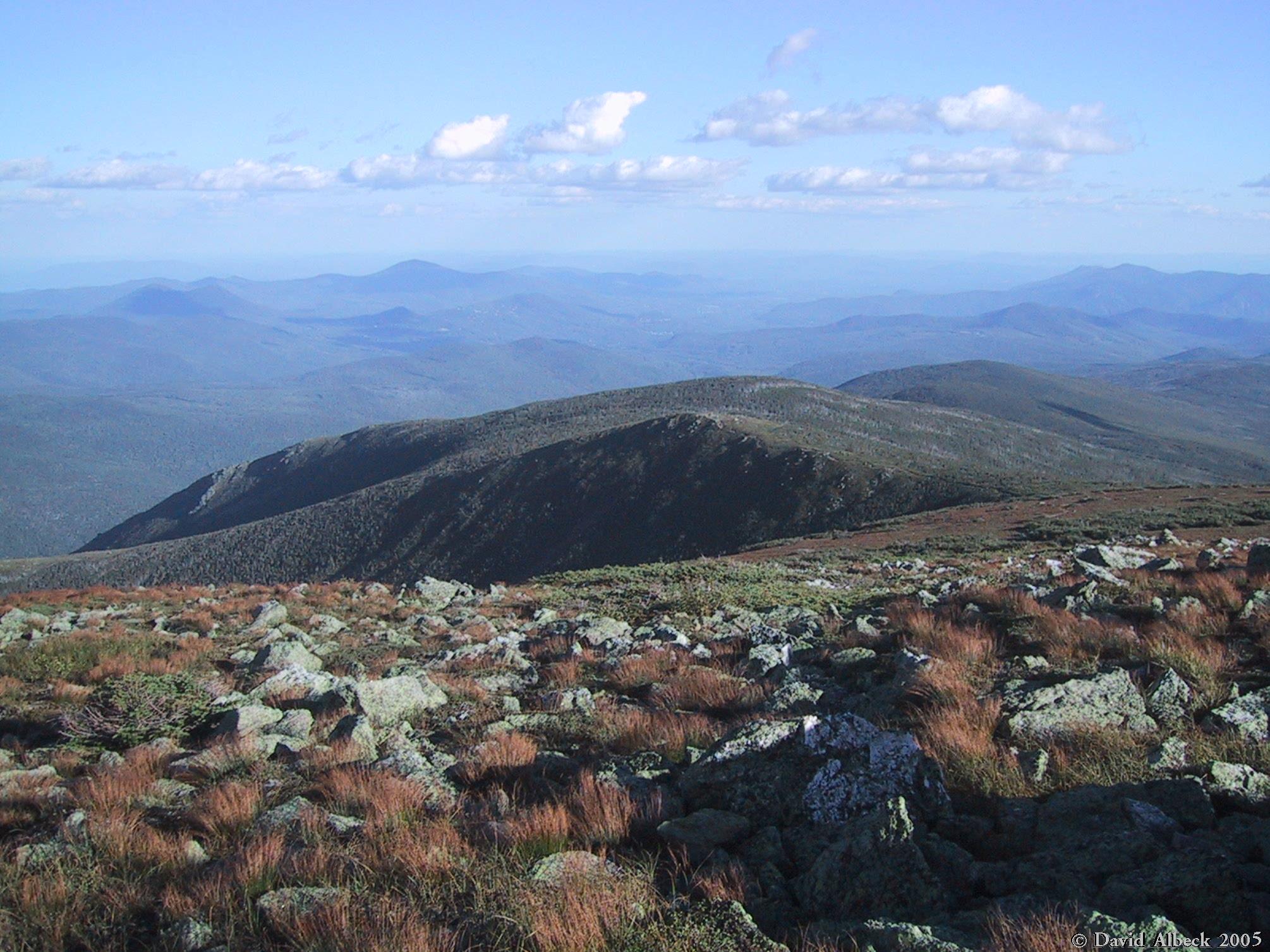
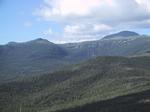
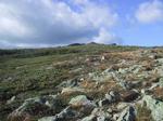
The south side of Slide Peak, seen from Mt Isolation. Note the fir waves coalescing near the
ridgeline on the right.
|

|
One more shot of Mt Eisenhower from Mt Isolation.
|
|
A more zoomed-in shot of Monroe and Washington.
|
|
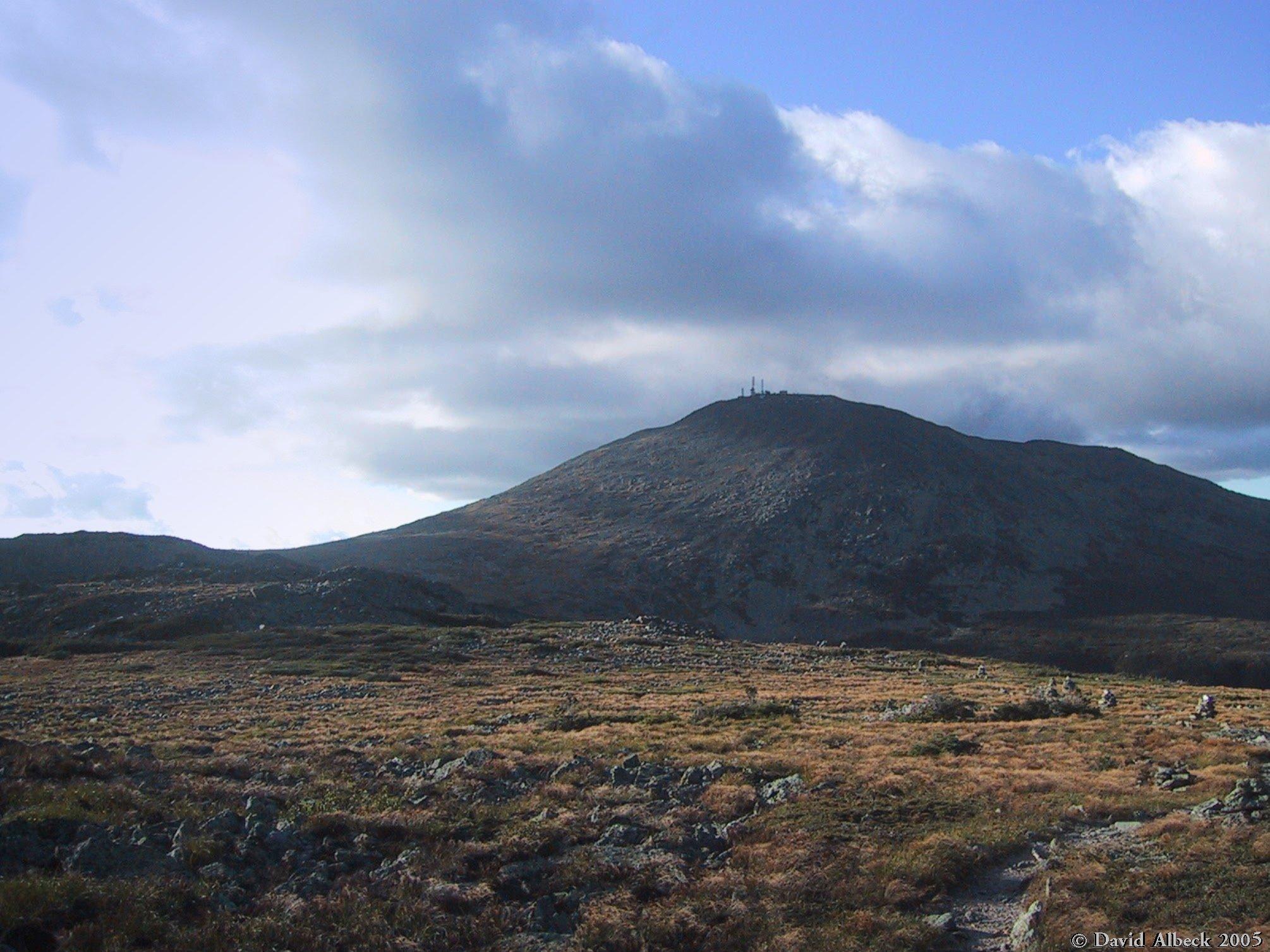
Close-up of the Washington summit and Boott Spur.
|
|
Mt Franklin.
|
|
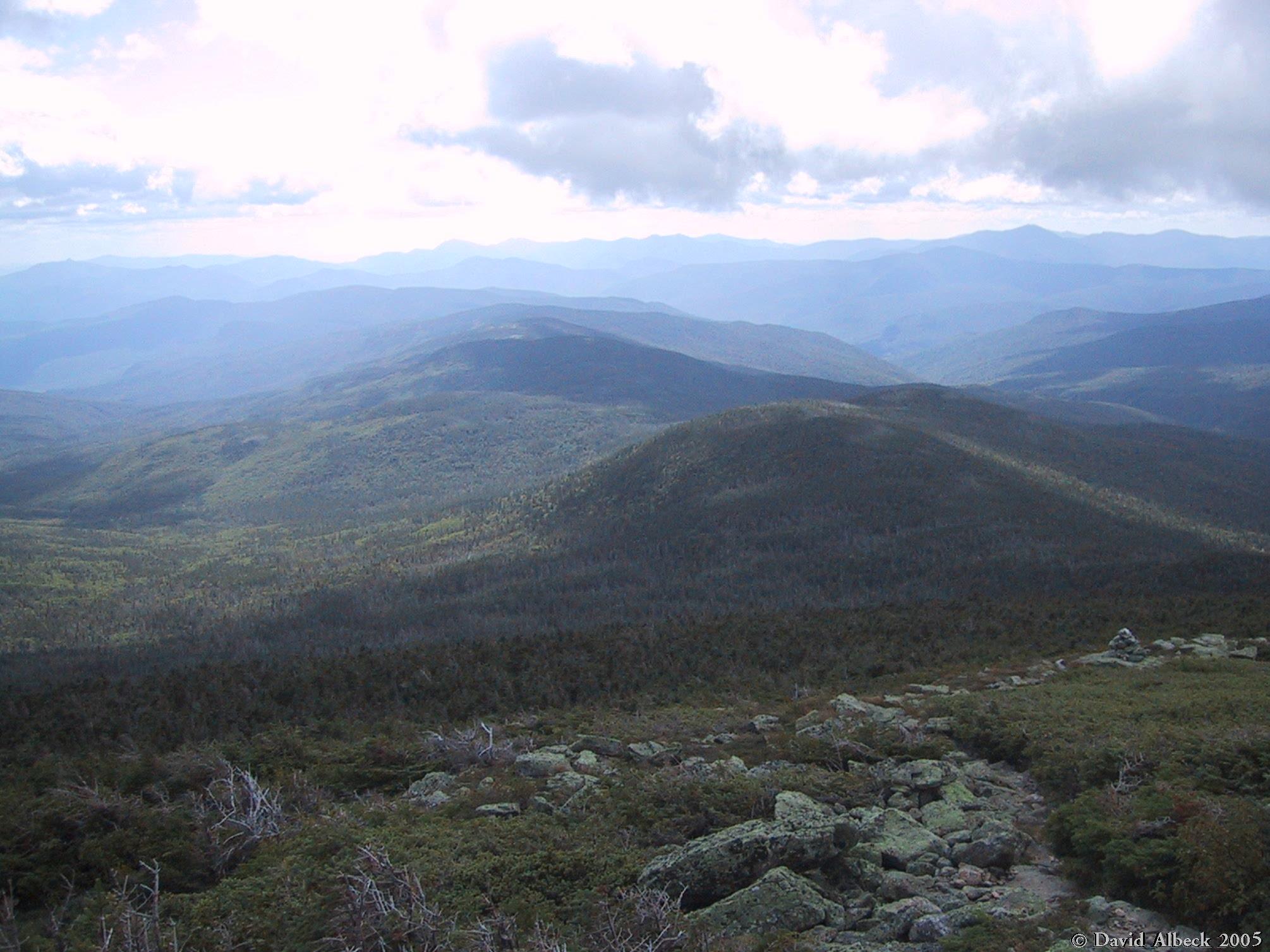
Back above treeline west of Slide Peak, a view down the valley of the Rocky Branch.
|
|
Close-up of the fir waves below Slide Peak. Kearsarge North in the background.
|
|
Climbing Davis Path toward Boott Spur.
|
|
Slide Peak from above.
|
|
Still climbing Davis Path; closing in on the rockpiles just below Boott Spur.
|
|
Another view down to Slide Peak.
|
|
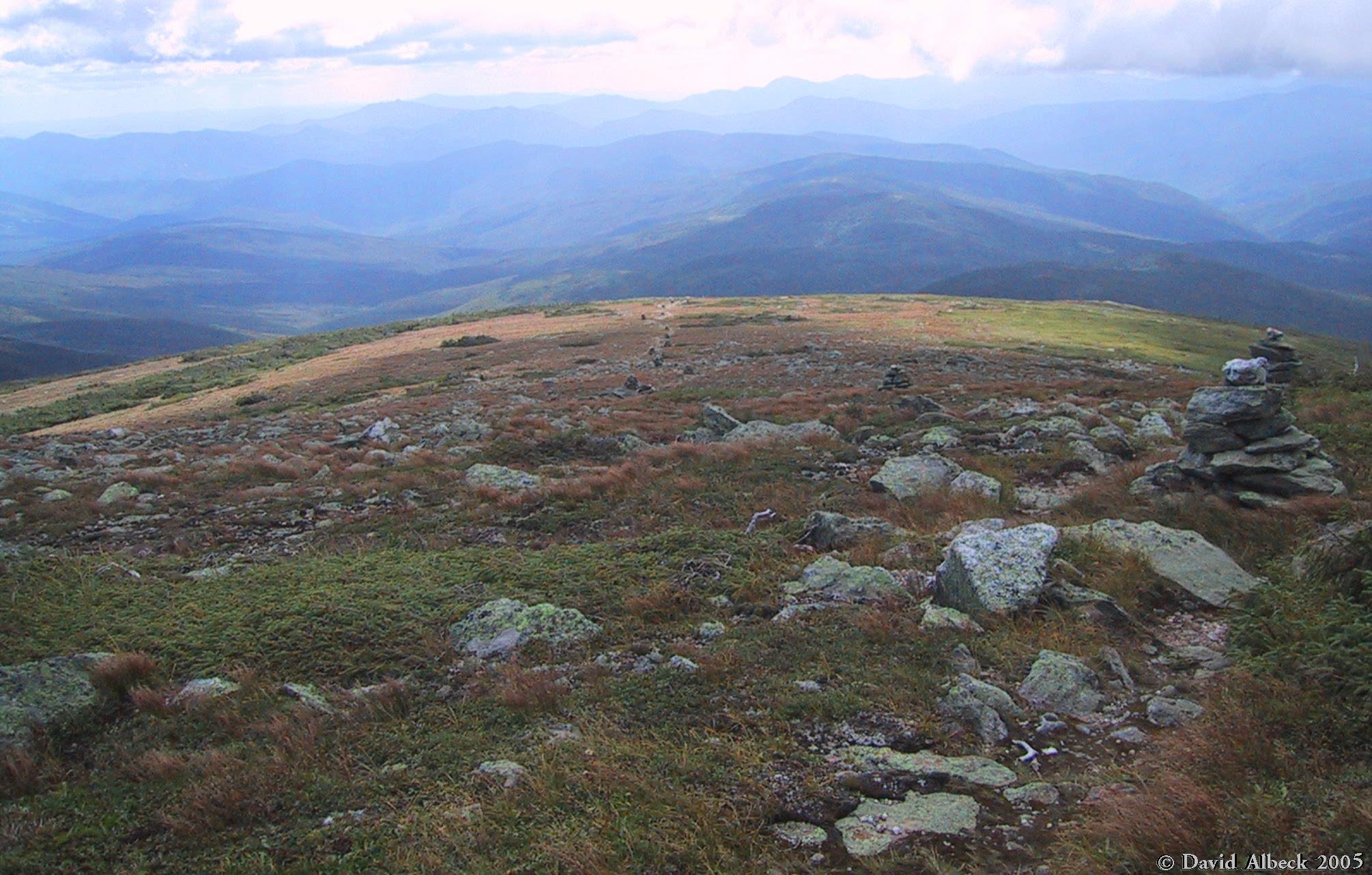
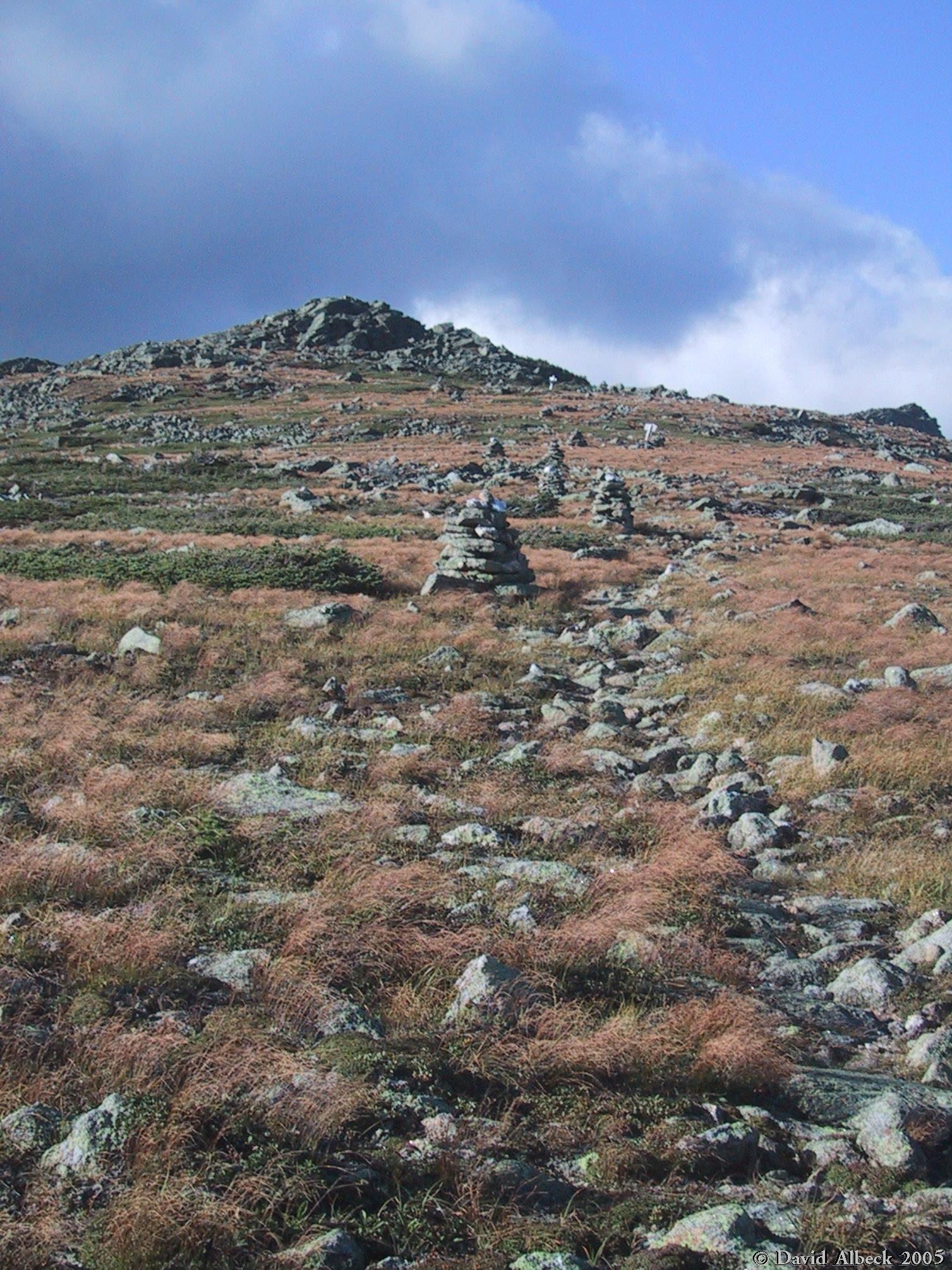
Quartz stones on the cairns catch the fading light below the summit cone.
|
|
A glimmer of sunlight briefly alights near the summit.
|
|
Only 6 PM and the shadows are gettting lengthy. Summer's almost over.
|

|
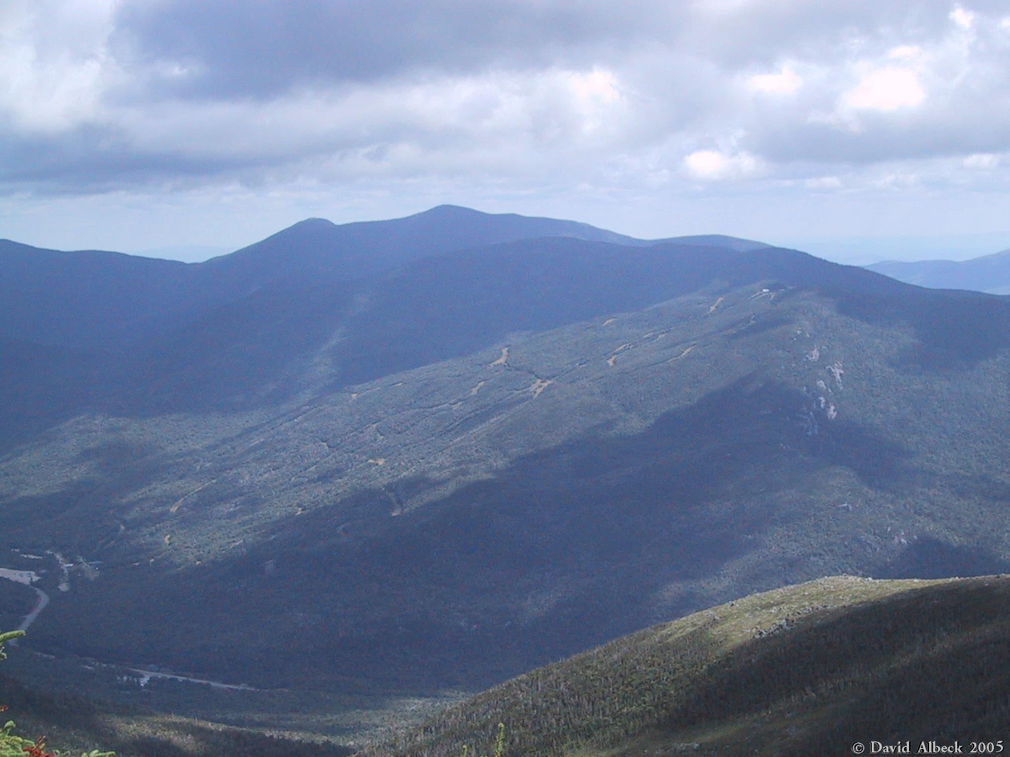
The shadow of Mt Washington (and of some clouds) covers most of Wildcat Mountain, but the rest of
the Carters are still in the sun, as is the Baldface Range.
|