|
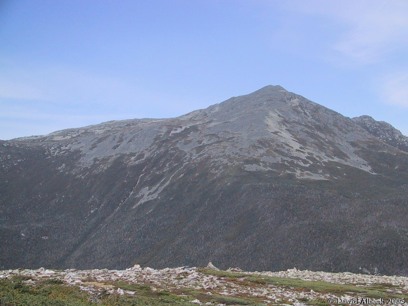
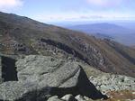
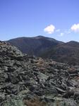
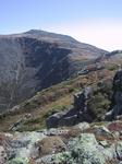
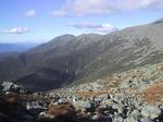
As I climb past Madison Hut, I get my first view of Mt Washington, looking deceptively
close in the startlingly clear fall air.
|
|
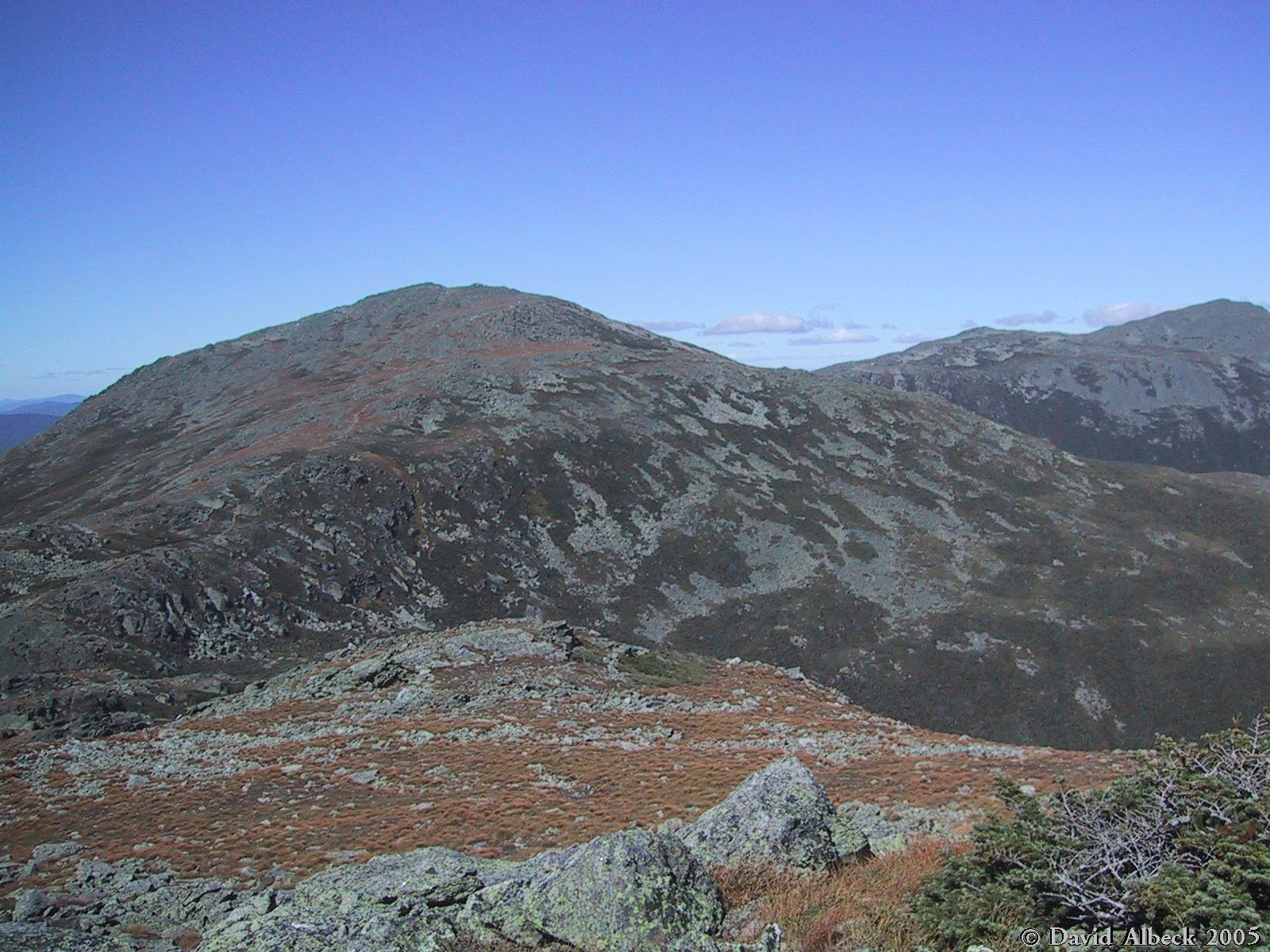
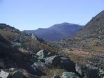
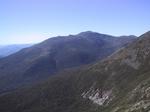
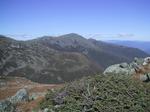
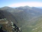
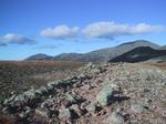
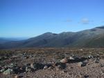
From high on the west side of Madison, a view over King Ravine and into Vermont, with Adams 4 visible at left.
|
|
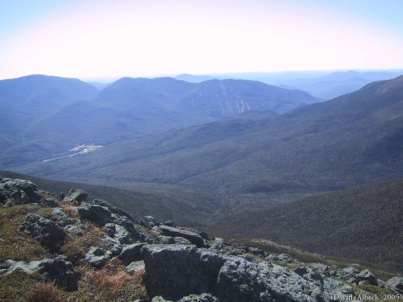
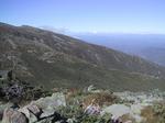
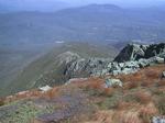
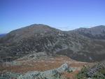
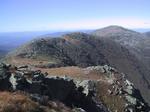
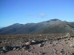
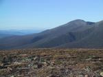
A view south-southeast to Wildcat (with ski slopes) and Carter Dome (at left).
|
|
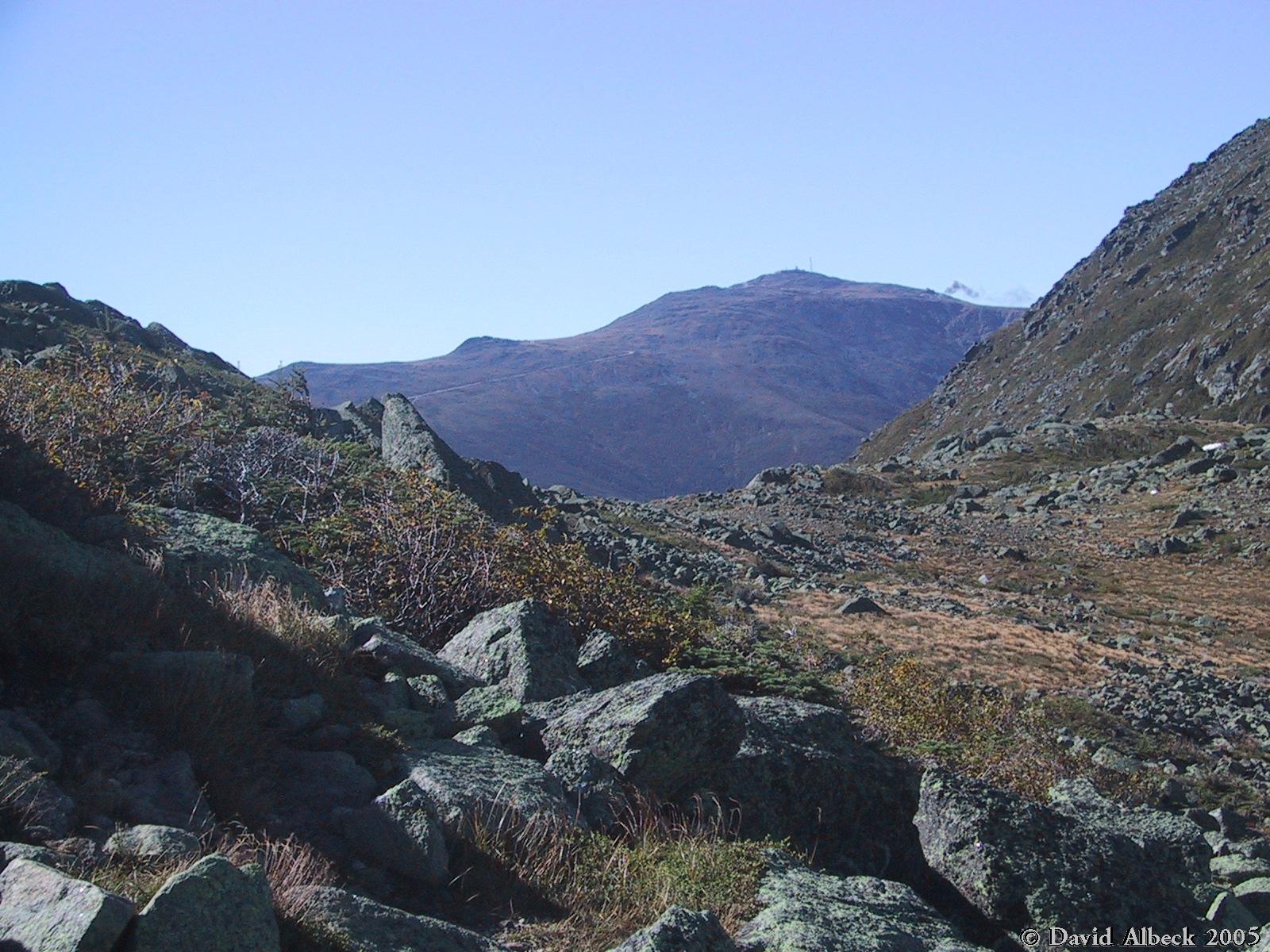
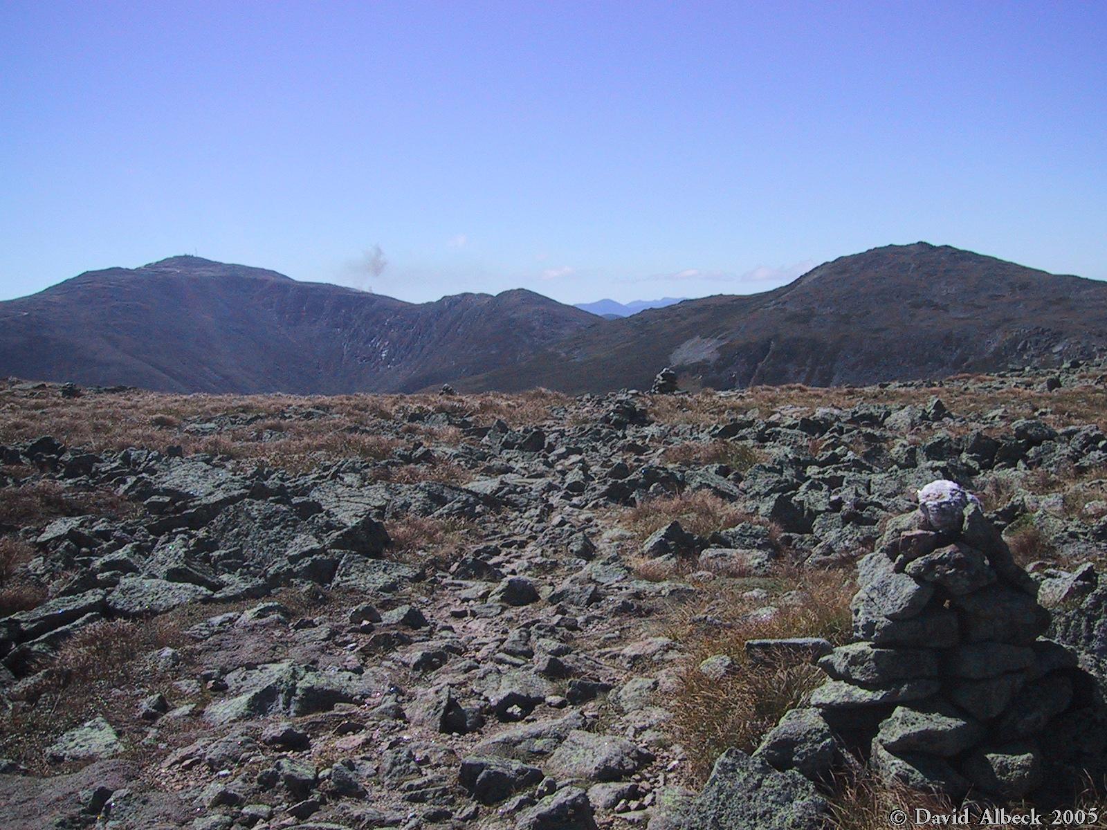
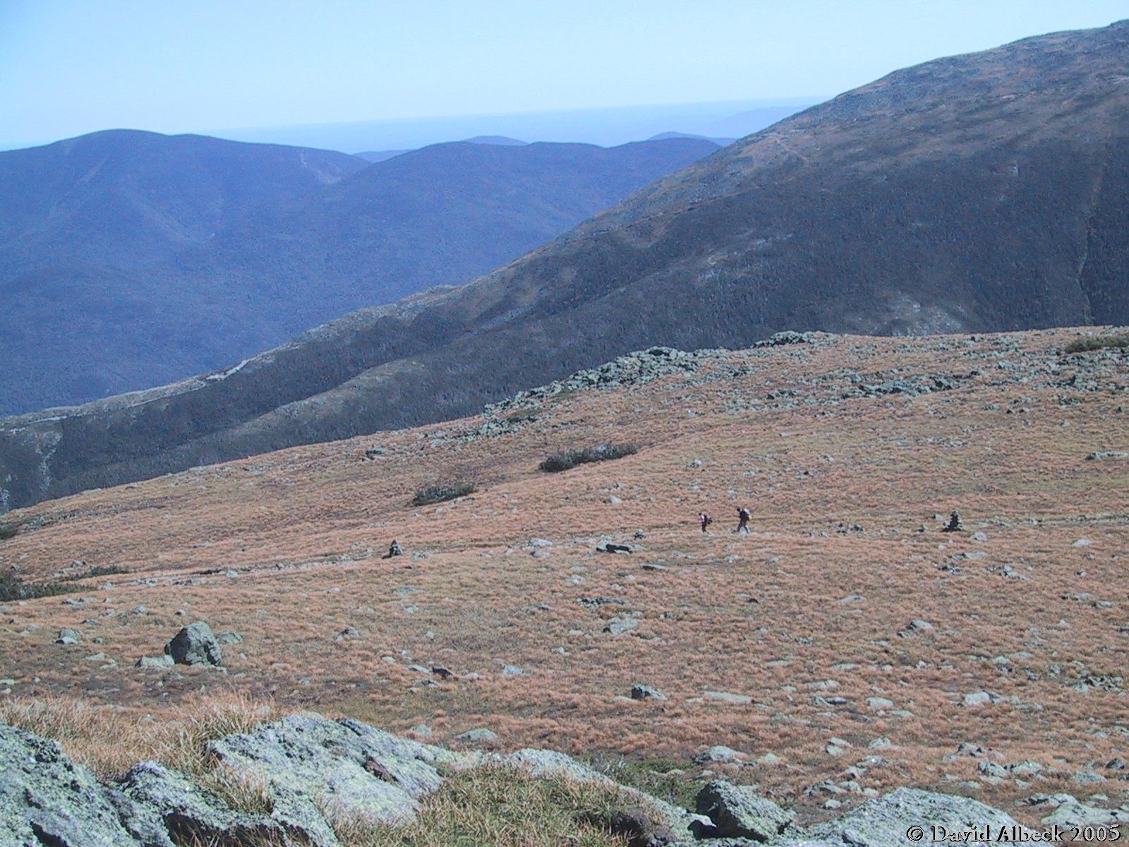
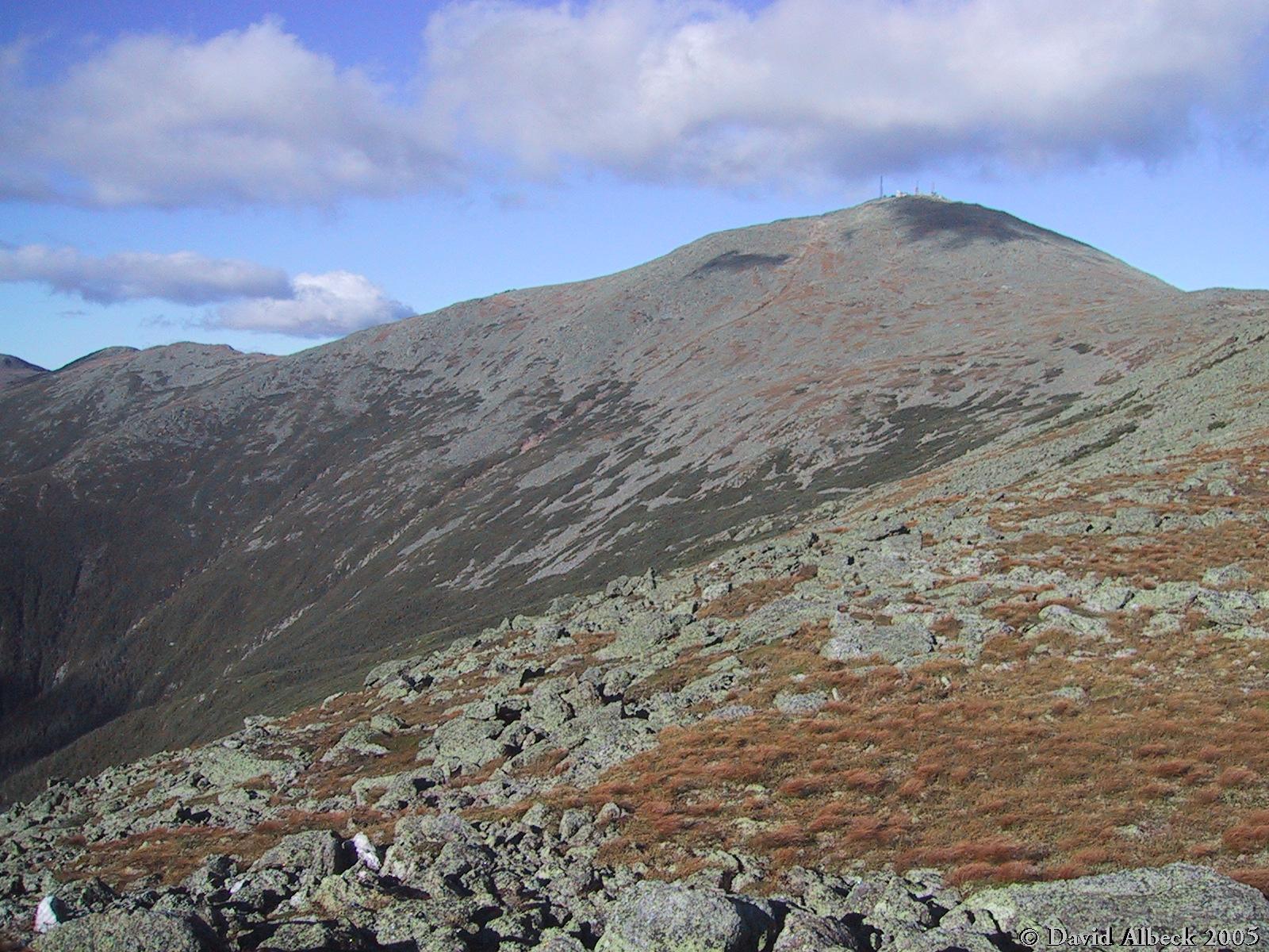
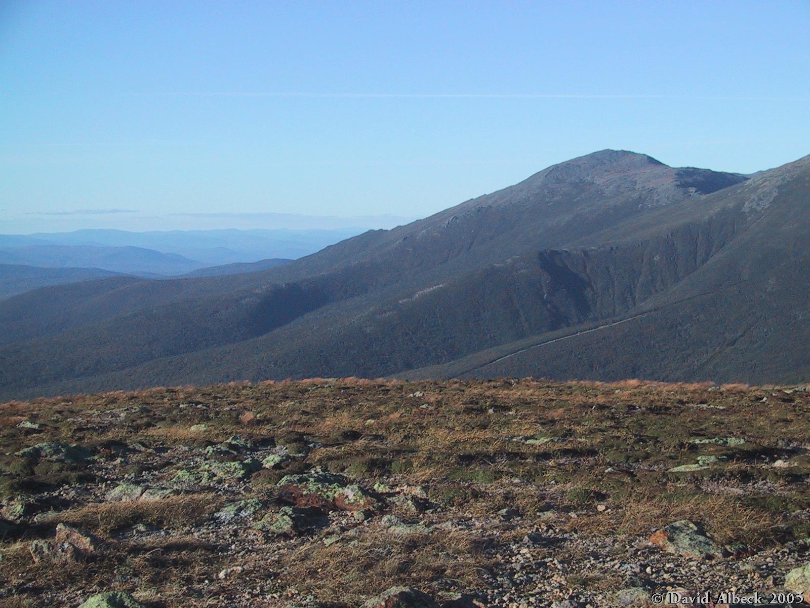
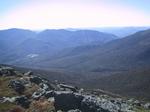
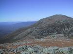
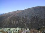
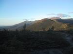
Still climbing Madison, a view across the Great Gulf to Mt Washington, with the auto road climbing
Chandlers Ridge past Nelson Crag and Ball Crag.
|
|
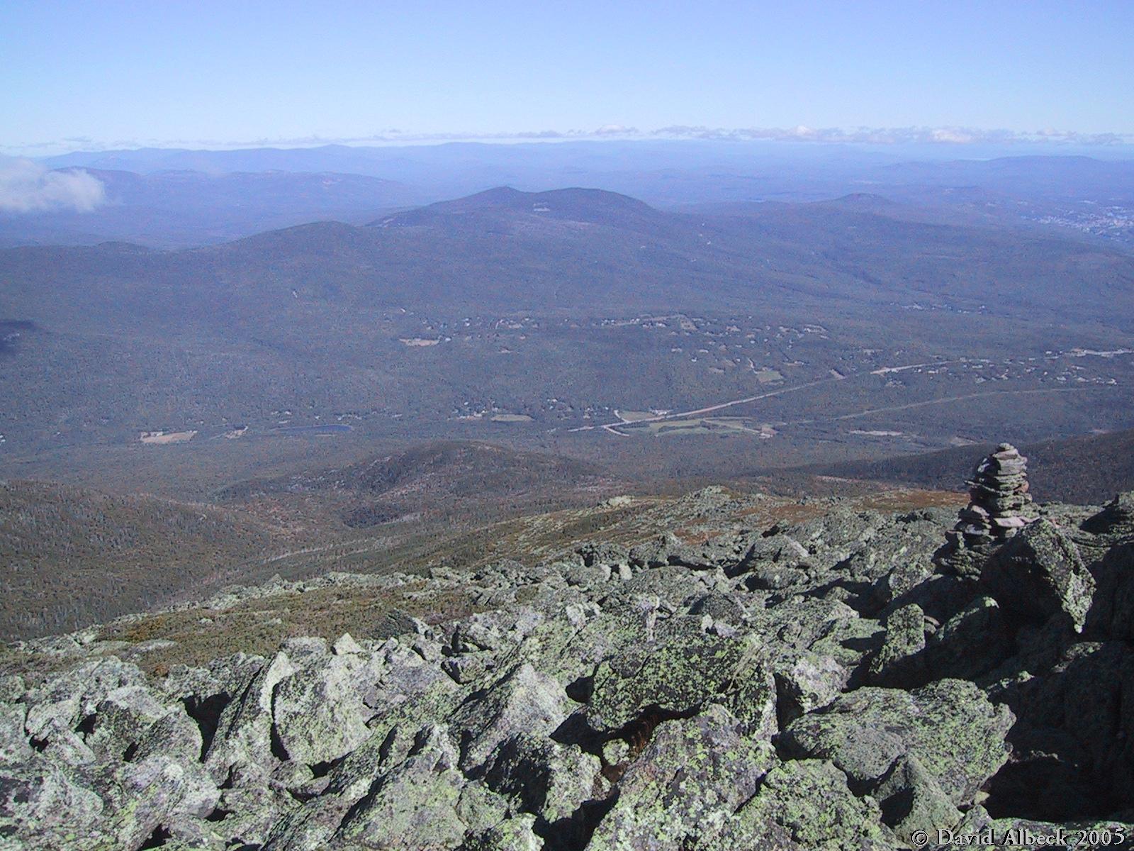
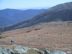
From the top of Mt Madison, a view down Gordon Ridge to the town of Randolph.
|
|
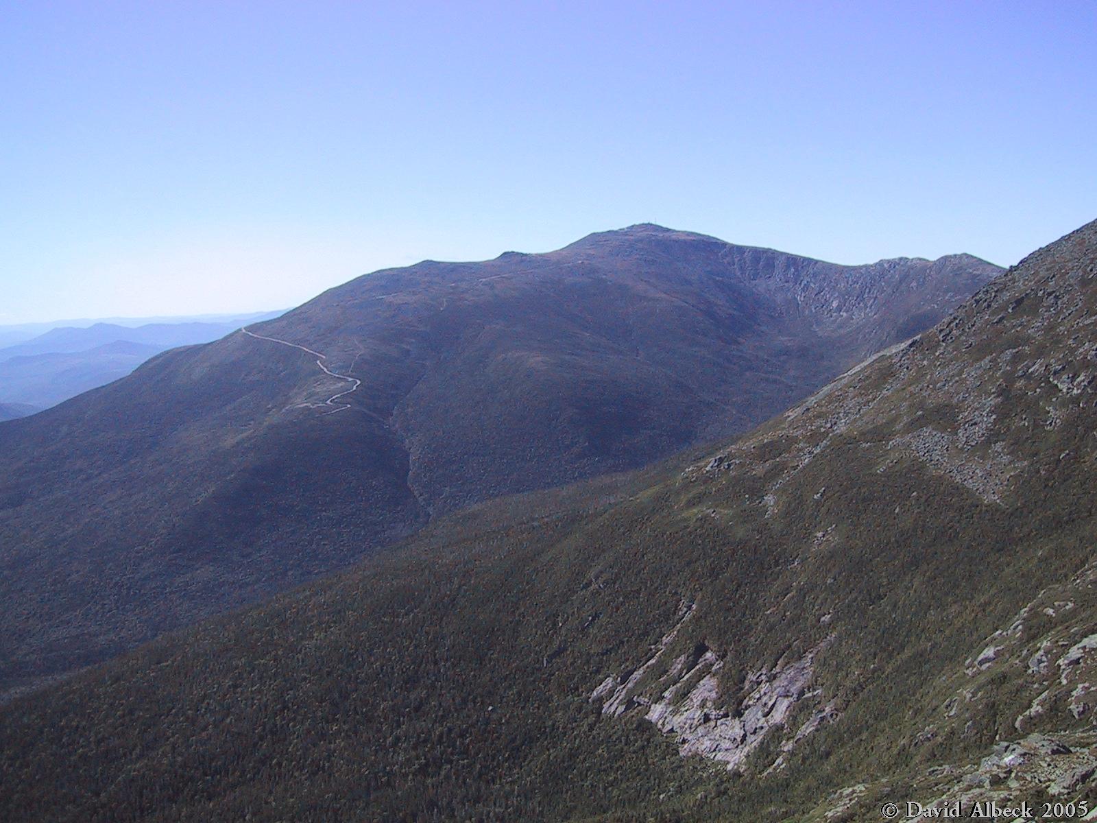
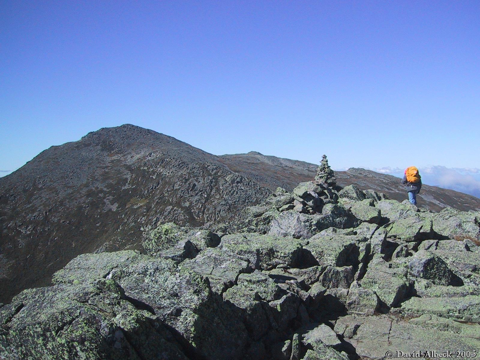
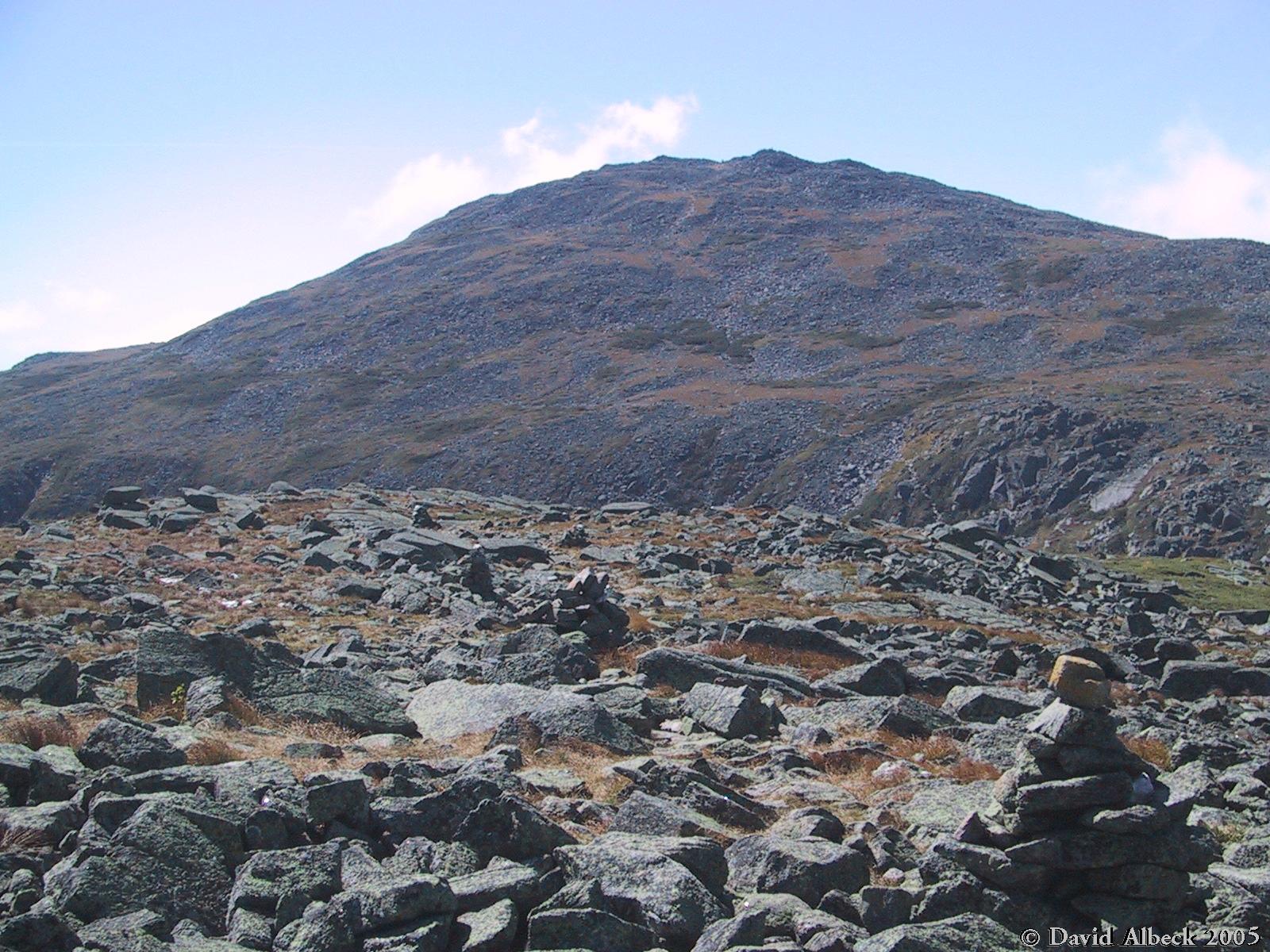
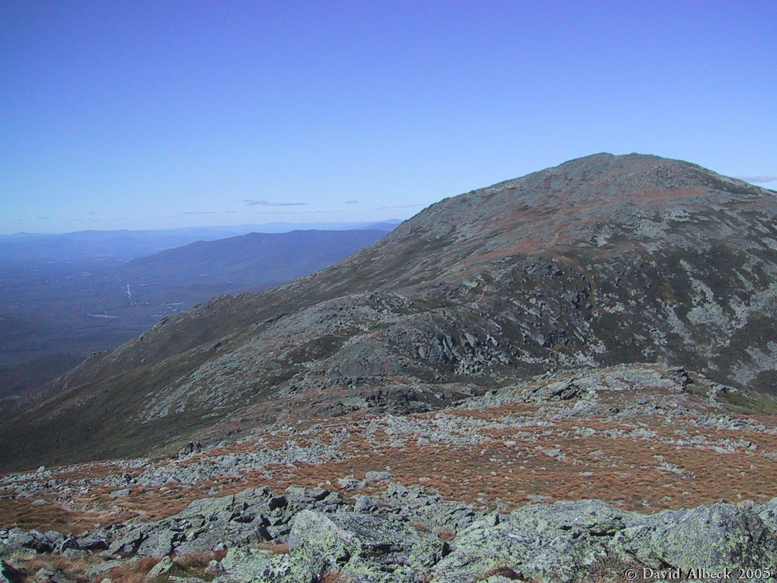
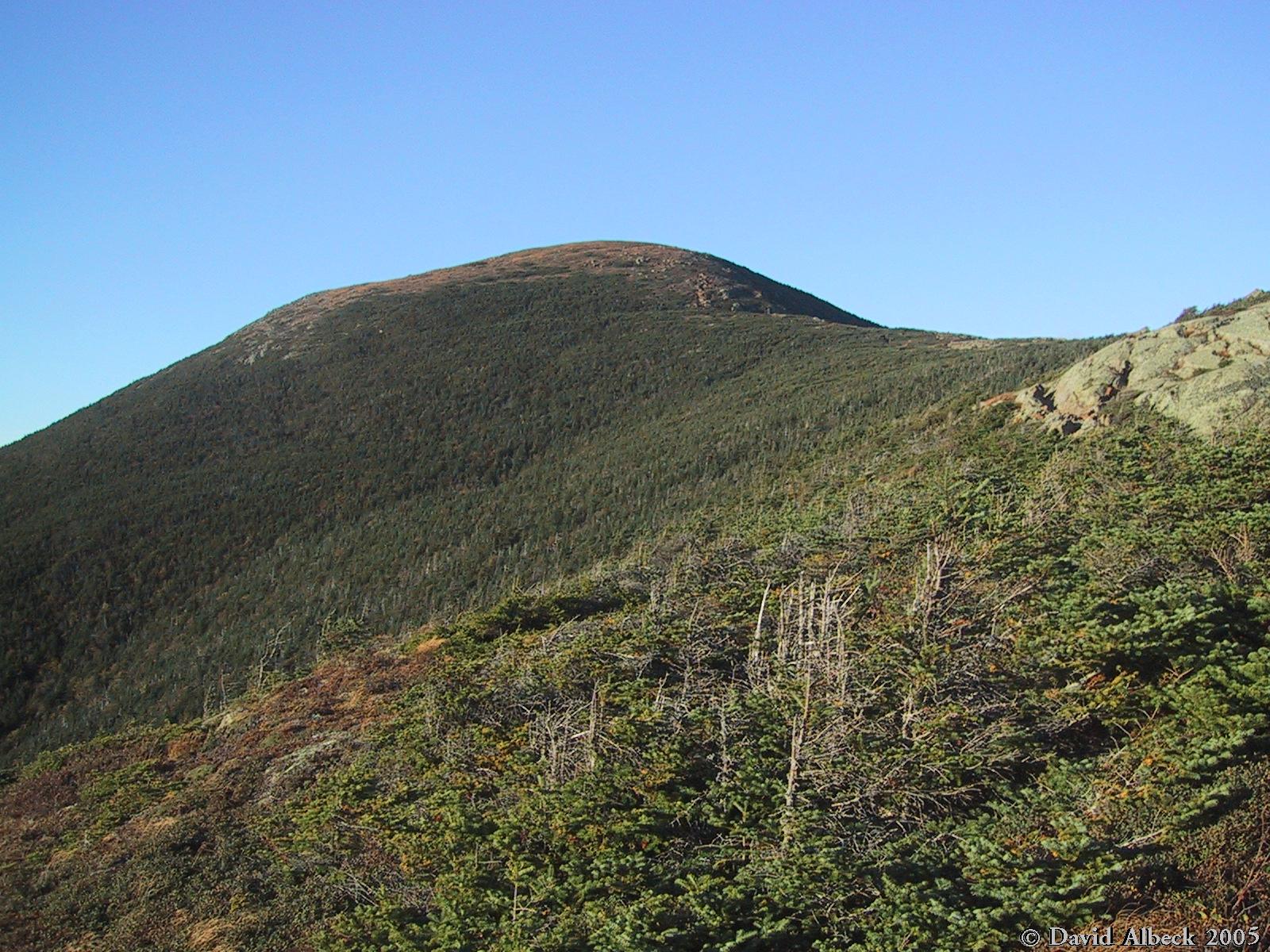
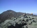
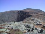
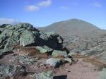
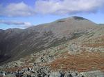
From the summit of Madison, a view to Adams, which is my next goal.
|
|
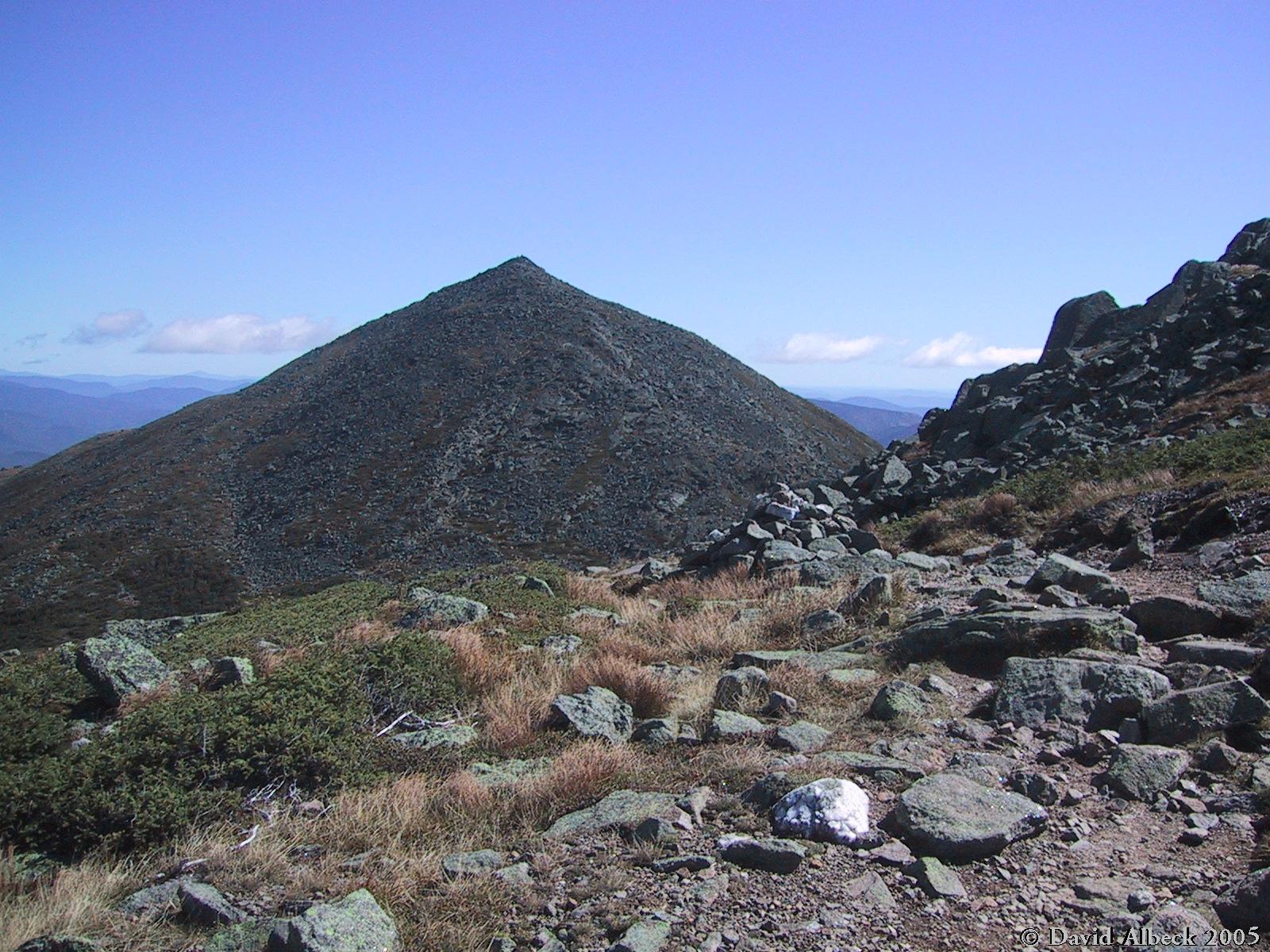
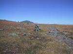
Having descended into Madison col, a view back to Mt Madison as I climb past
Mt Quincy Adams.
|
|
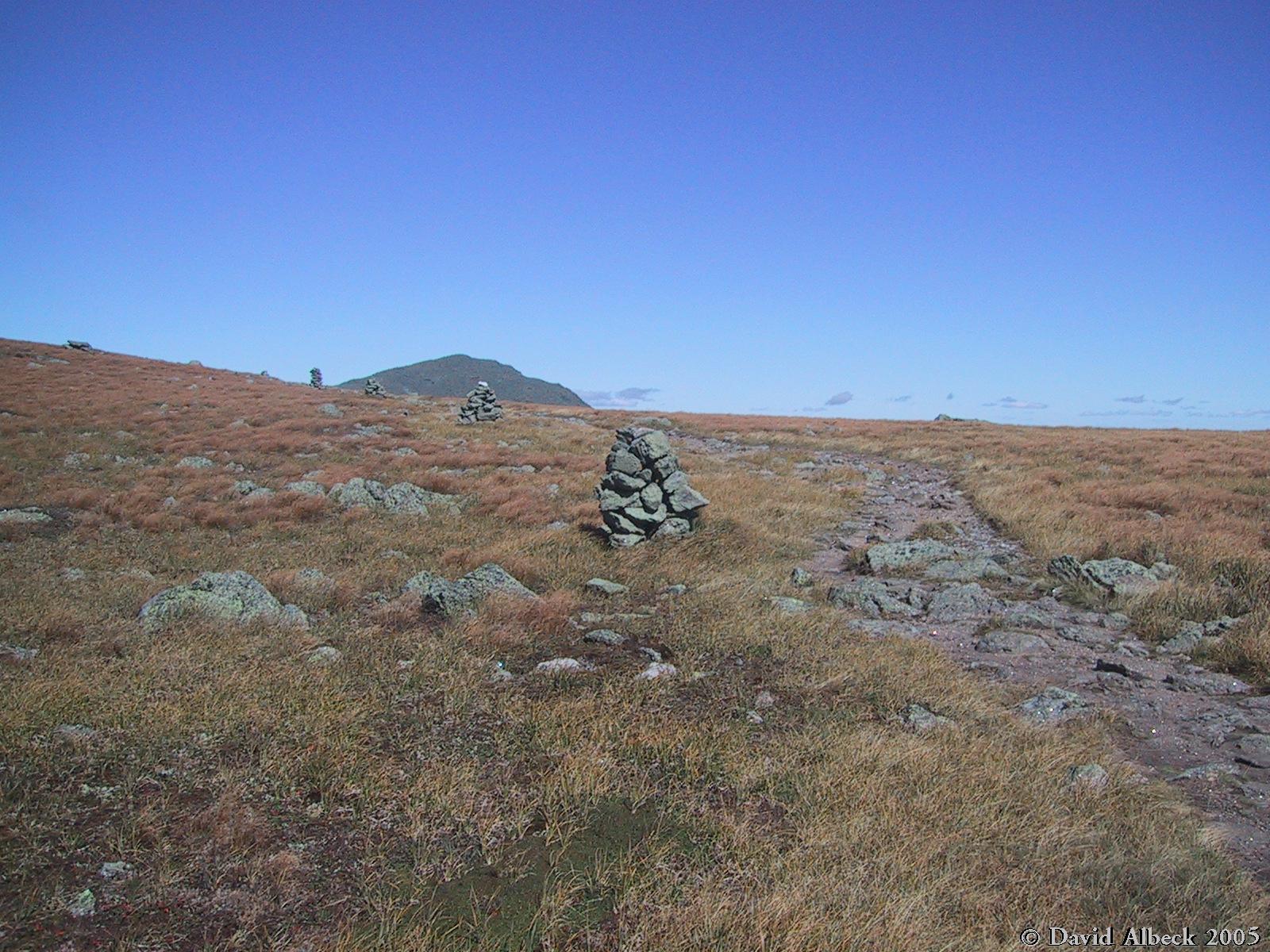
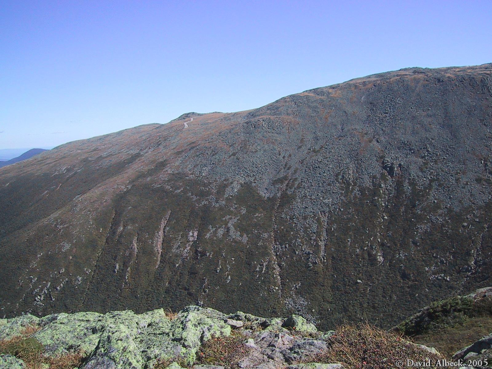
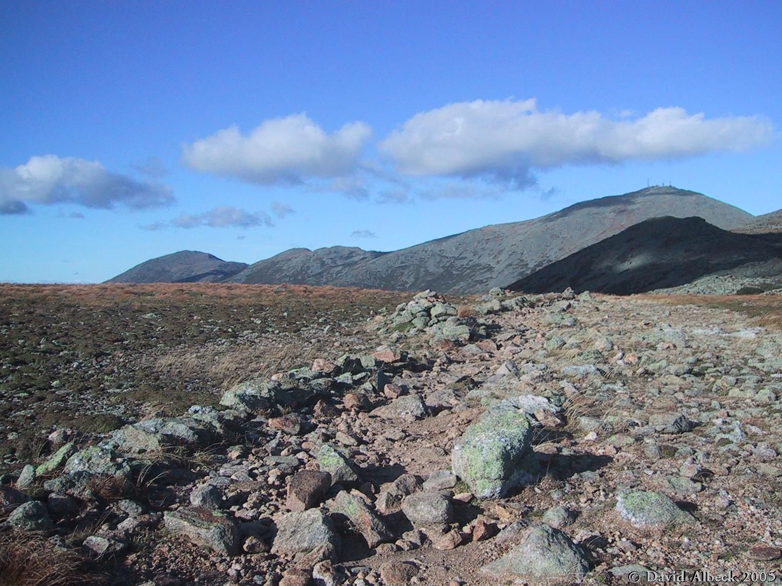
Durand Ridge (the route of the Air Line trail) from above.
|
|
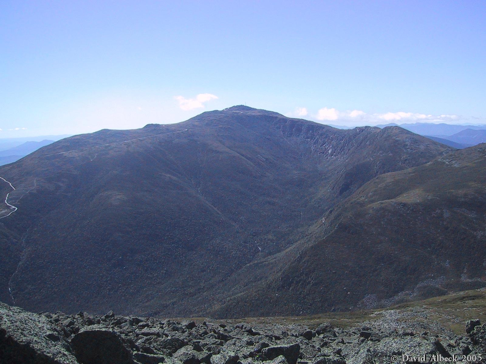
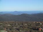
You'll see a fair number of photos of Mt Washington in this set. Here's one taken
from Mt Adams.
|
|
From somewhere near Adams 5, a view ahead to Mts Jefferson, Clay, and Washington.
|
|
A view of the Castellated Ridge on Mt Jefferson.
|

|
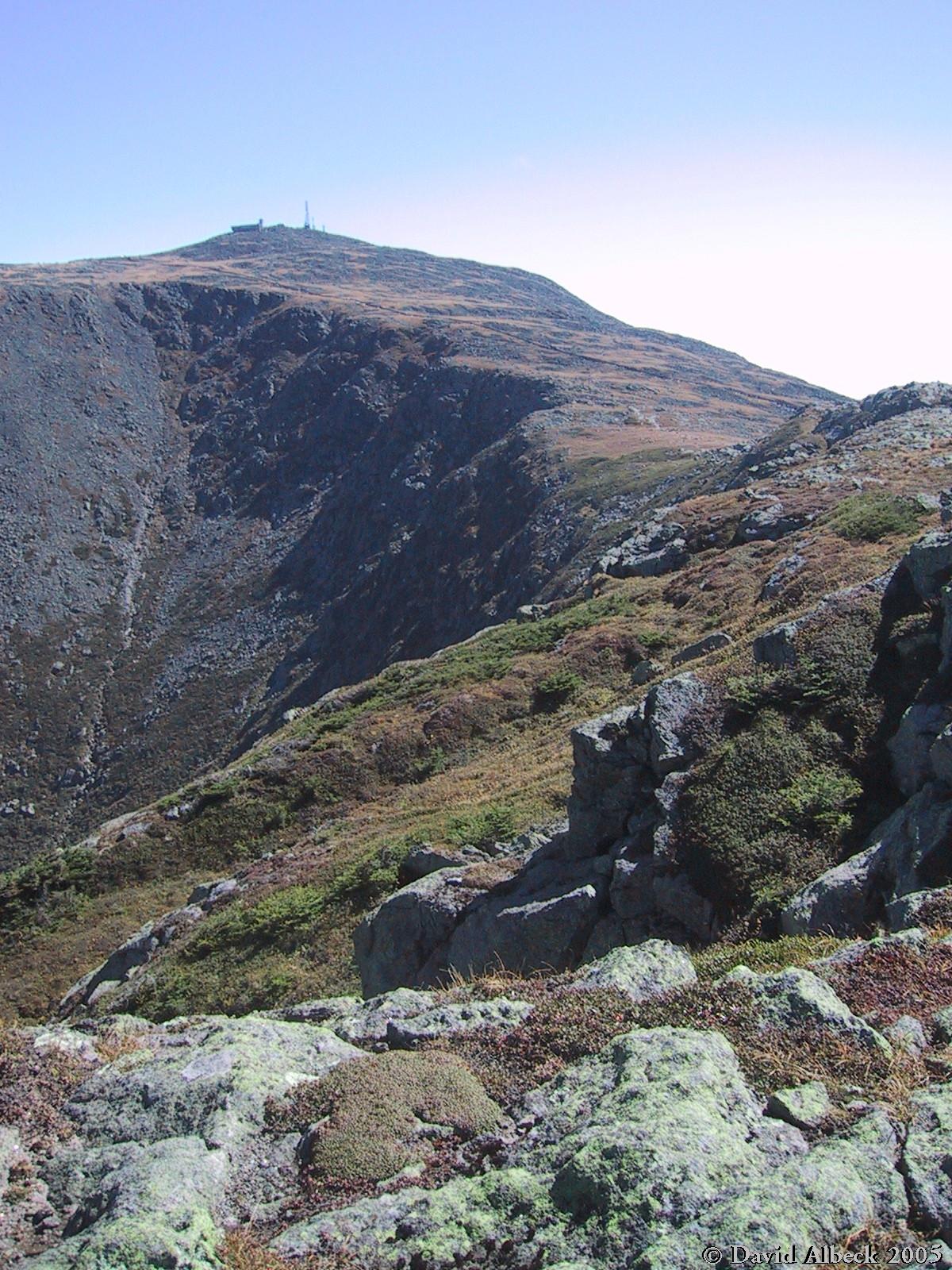
From the east side of Edwards Col, a view ahead to Mt Jefferson.
|
|
The top of the Castellated Ridge where it joins the Mt Jefferson summit cone.
|
|
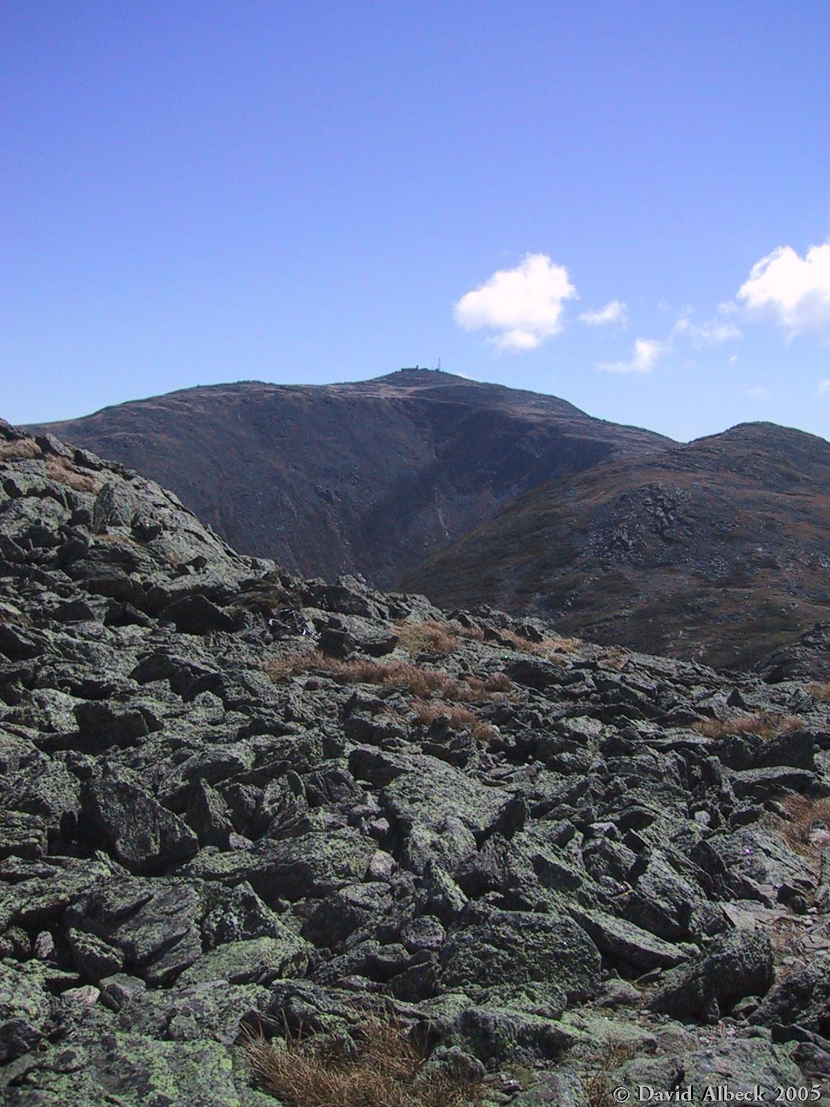
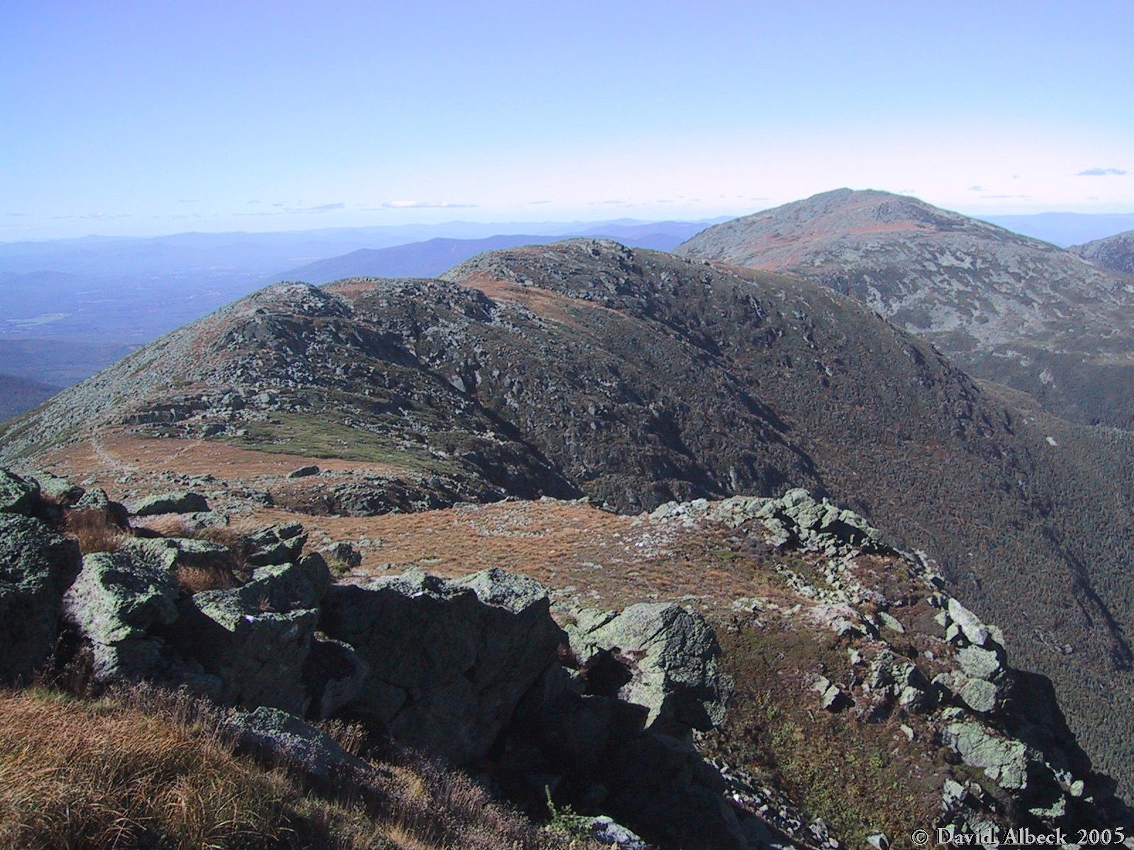
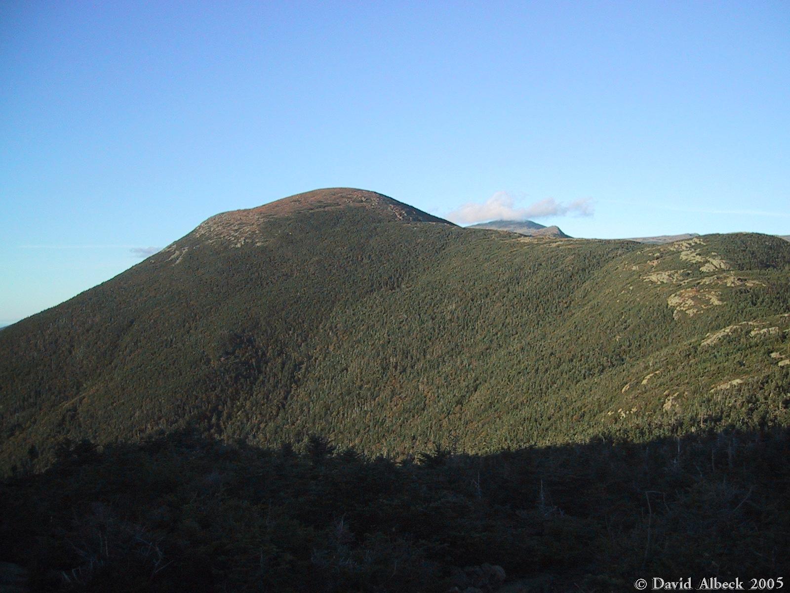
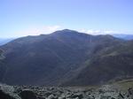
From the top of Jefferson, a view back to Adams.
|
|
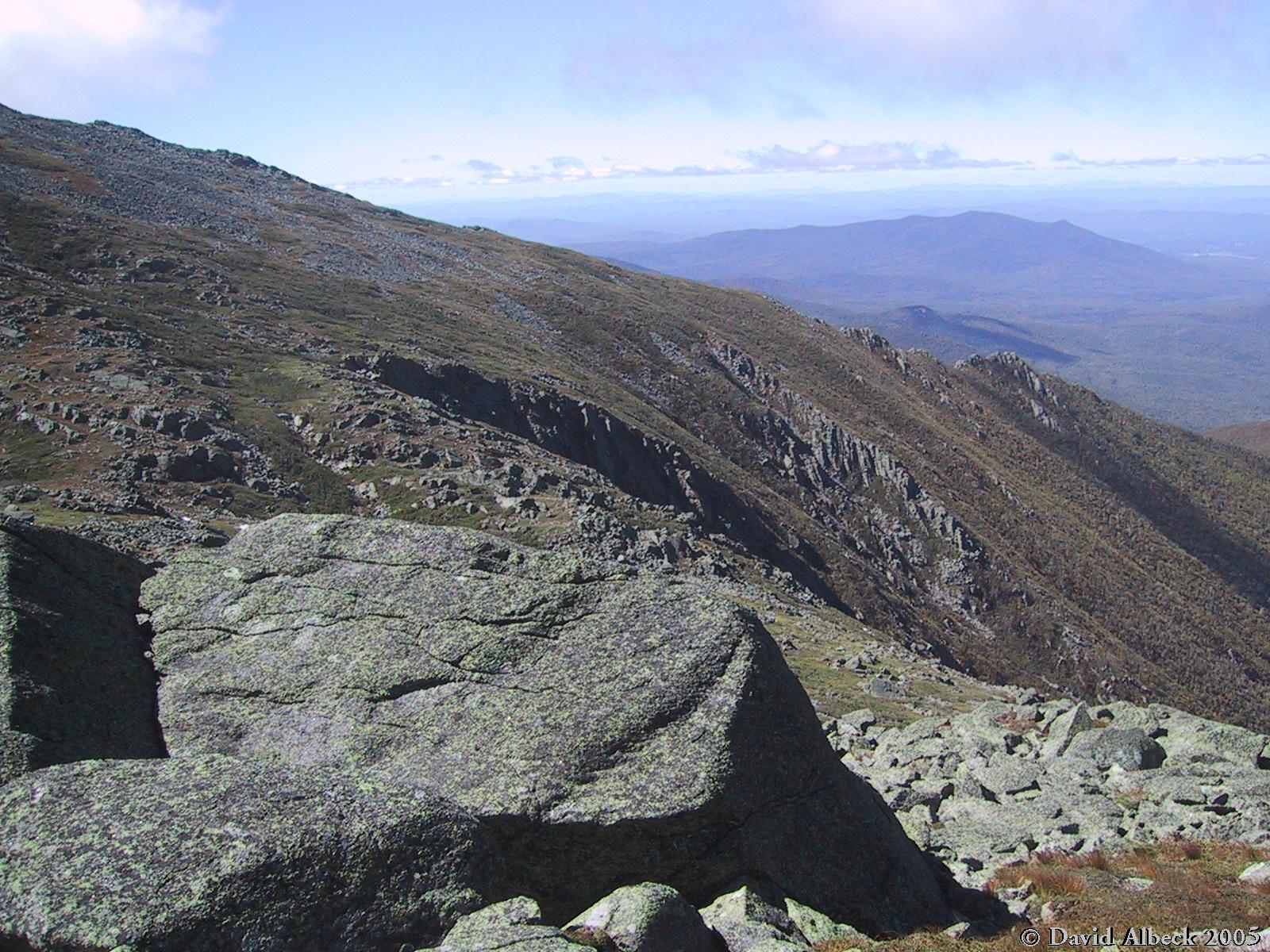
A view down to the Gulfside Trail from the top of Jefferson.
|
|
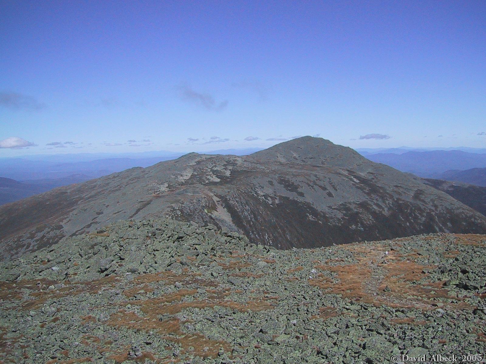
Monticello Lawn, with Mt Adams in the background.
|
|
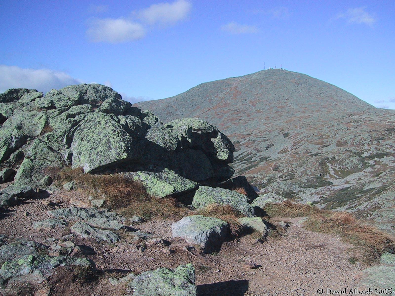
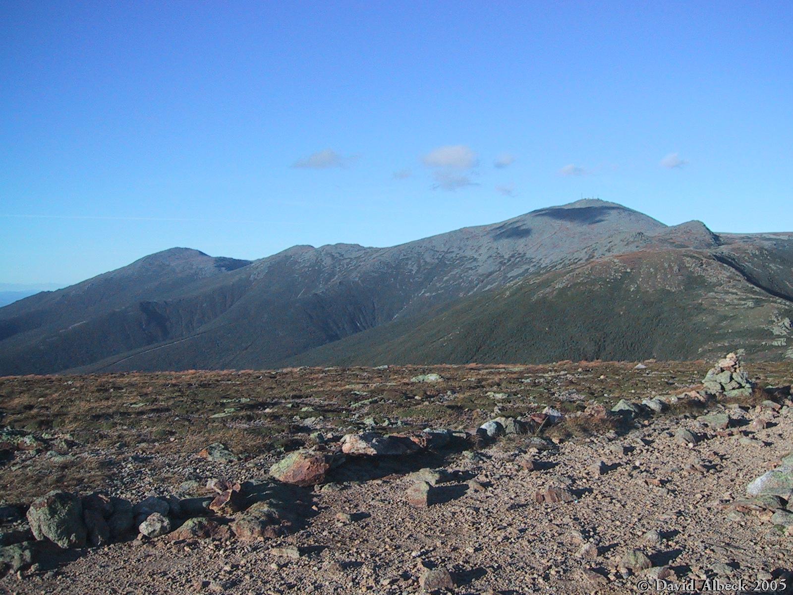
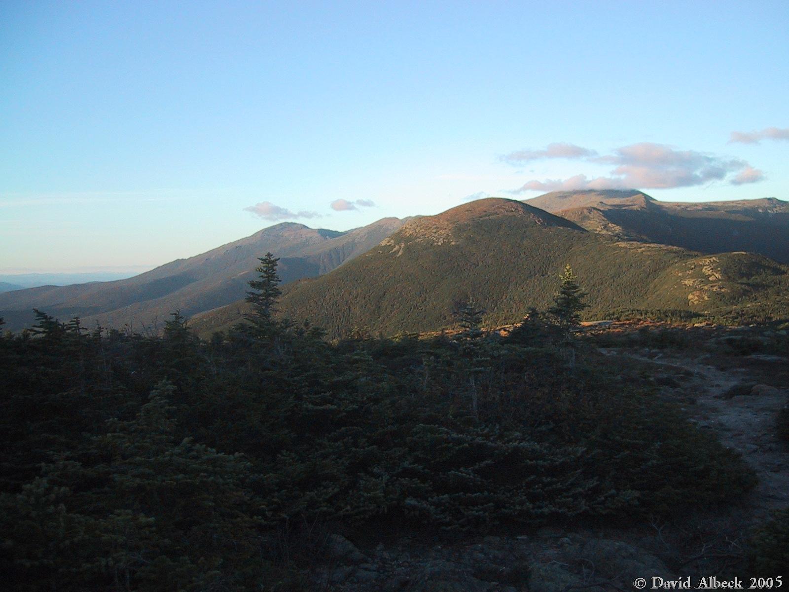
Another view to Mt Washington as I approach Mt Clay.
|
|
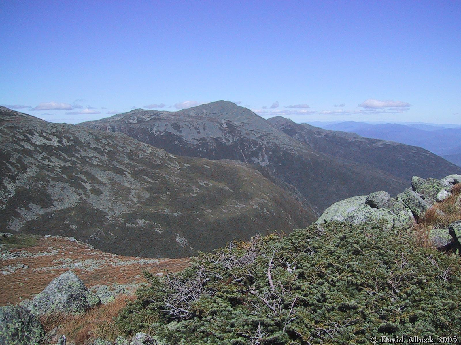
A view back over the Great Gulf toward Mt Adams from near Sphinx Col.
|
|
Same spot, view turning slightly left, showing Mt Jefferson.
|
|
Panning slightly further left, still from the same spot. Mt Starr King visible in the
distance.
|
|
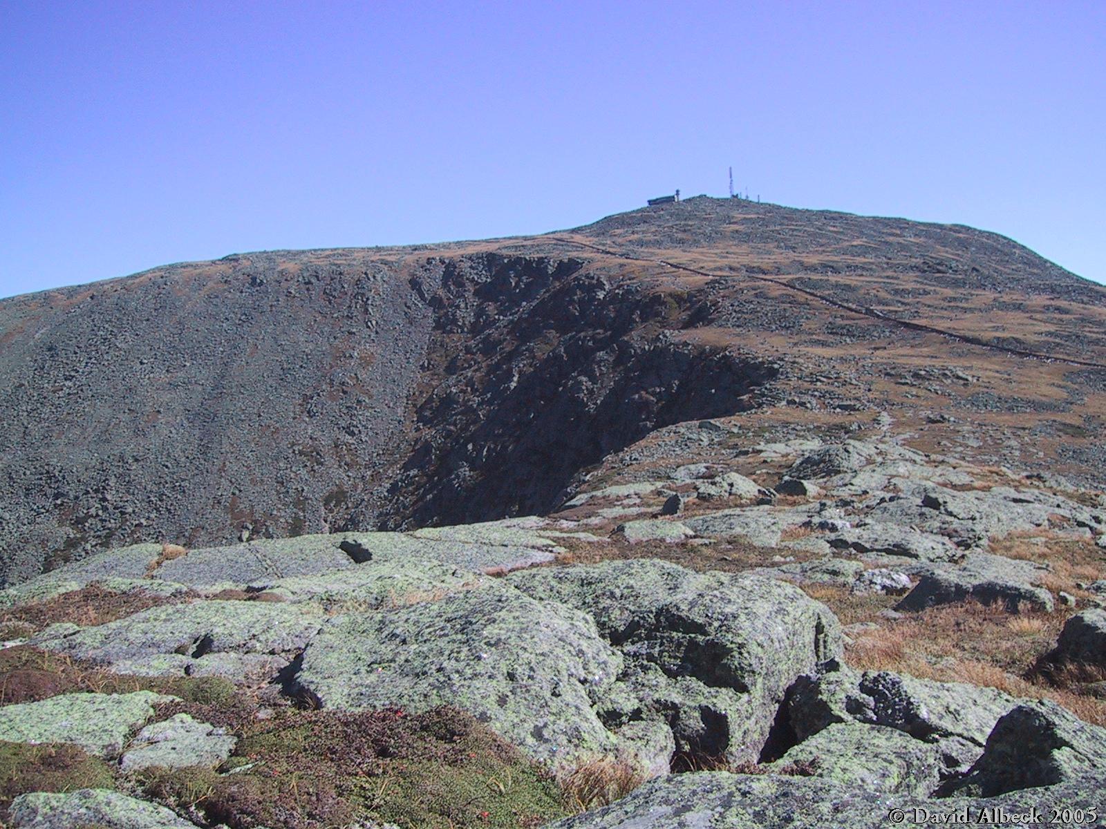
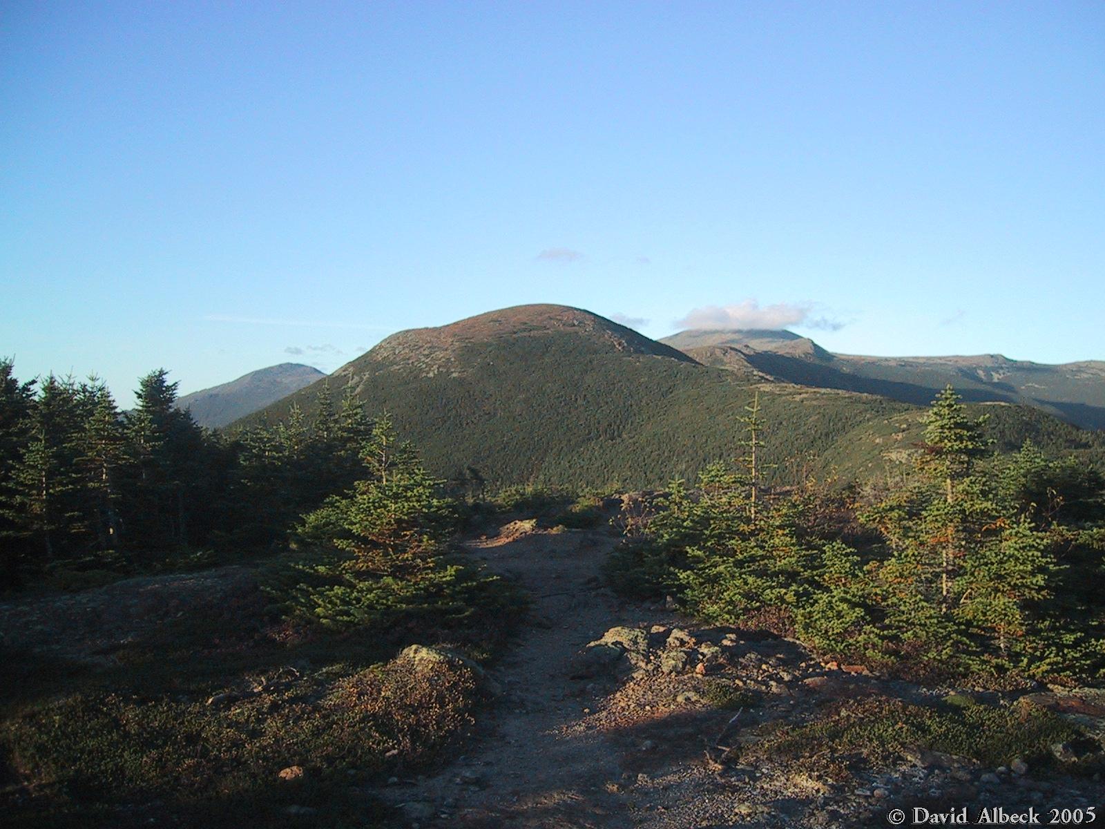
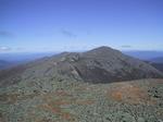
From Mt Clay, a view of the highpoint of the hike: Mt Washington.
|
|
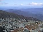
A view across the Great Gulf to Nelson Crag.
|
|
Final approach to the summit.
|
|
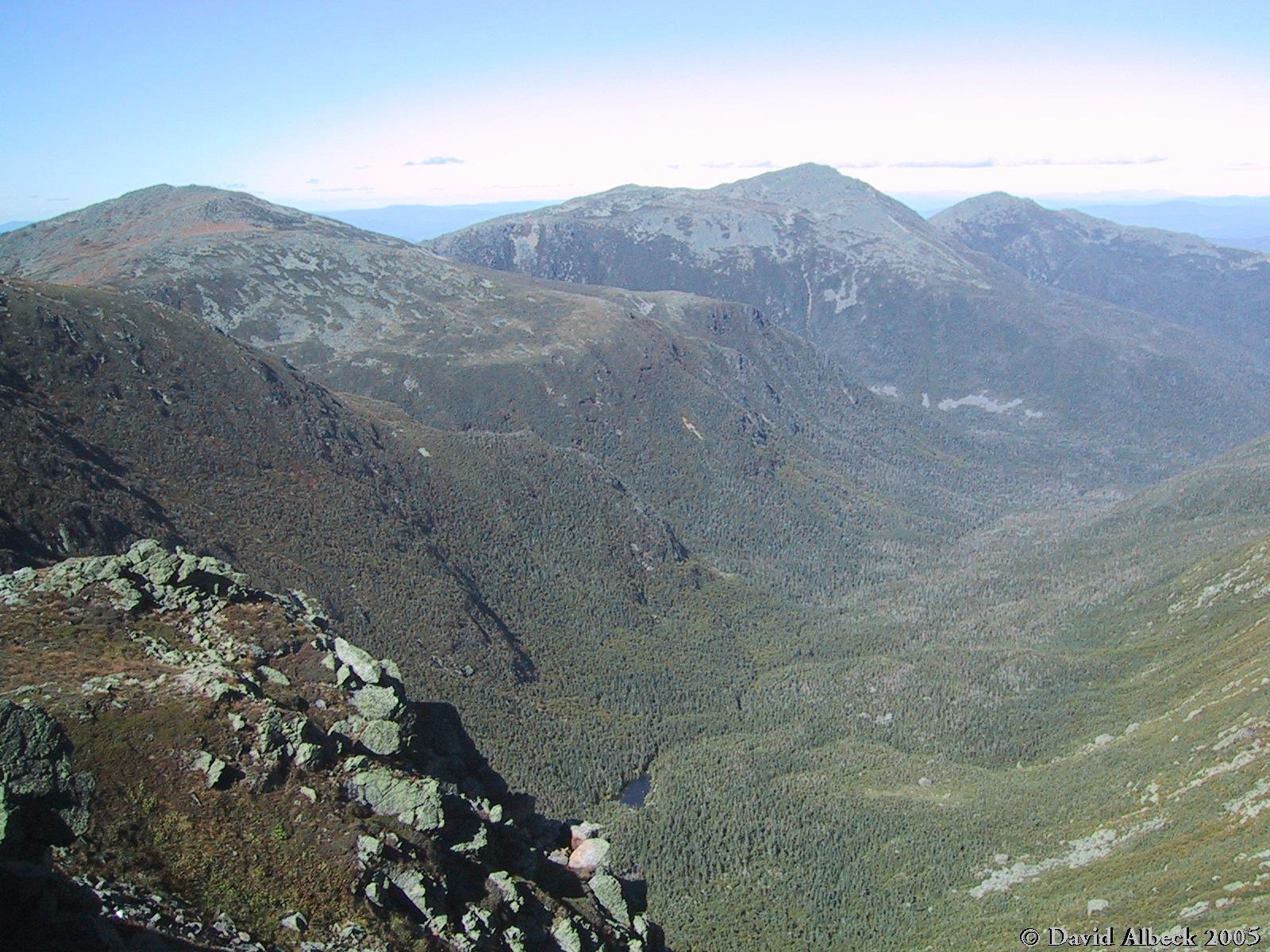
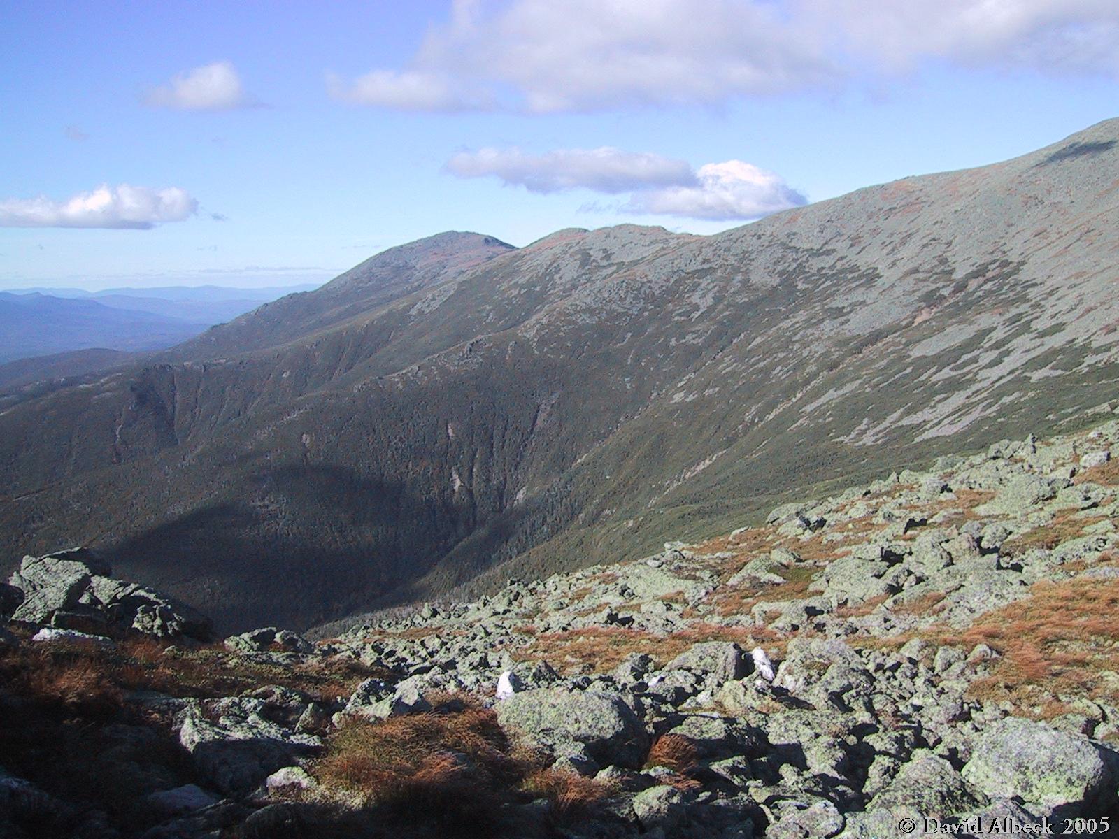
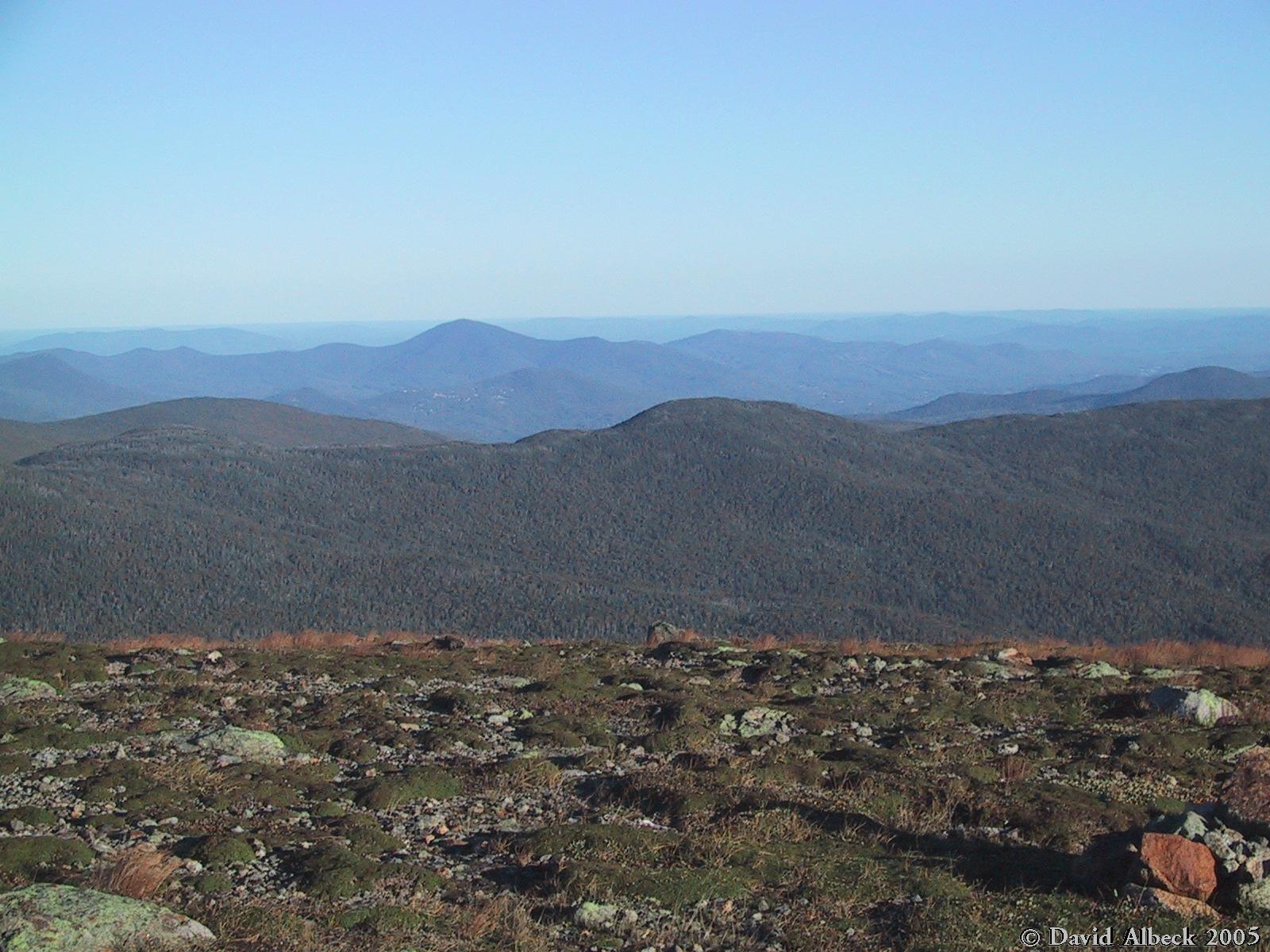
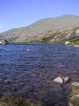
A view down the length of the Great Gulf. Spaulding Lake at bottom. Jefferson,
Adams, and Madison marching away.
|
|
Mts Clay and Jefferson from the north side of Mt Washington.
|

|
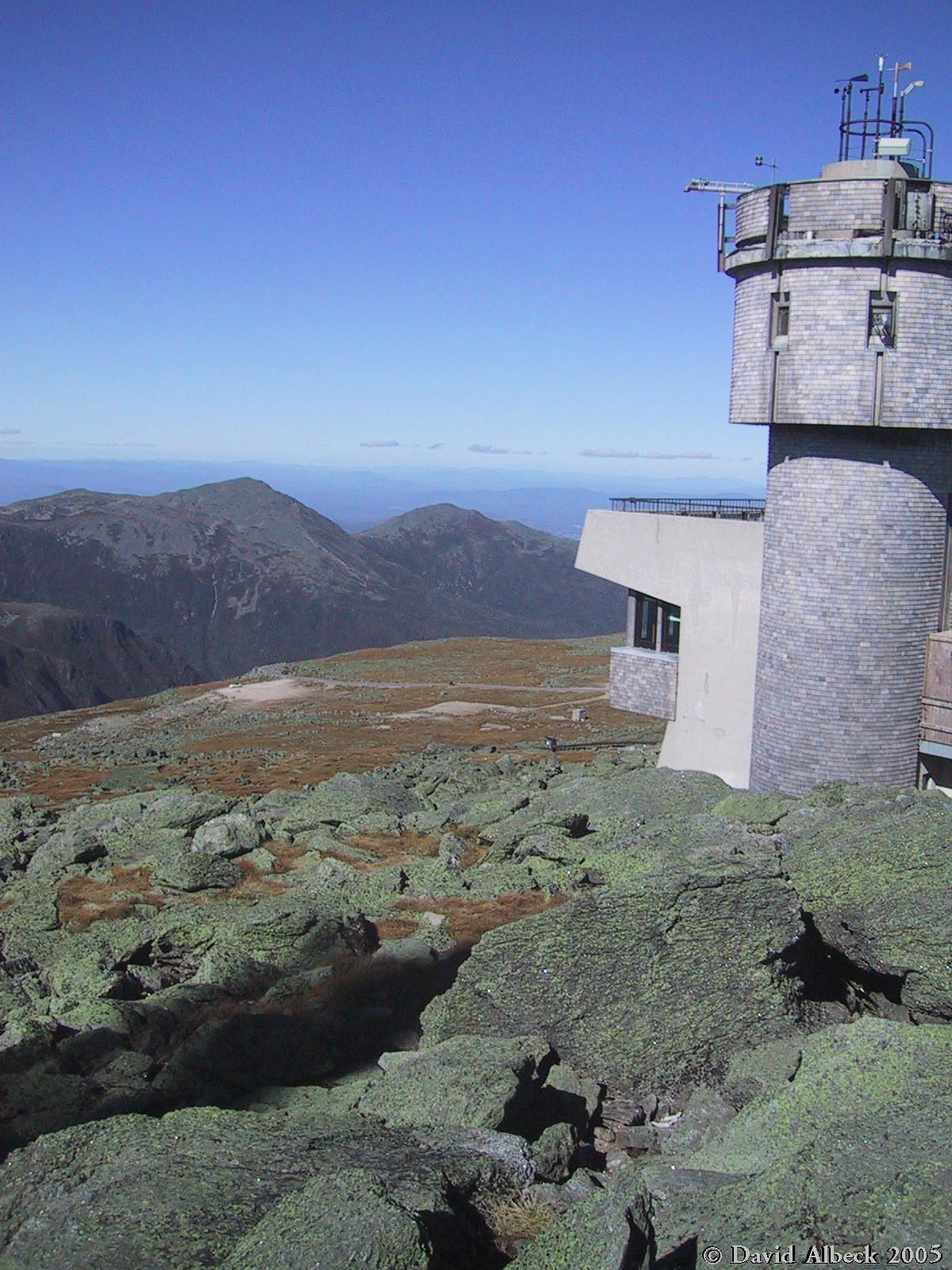
The much-photographed view northward from near the observation deck.
|
|
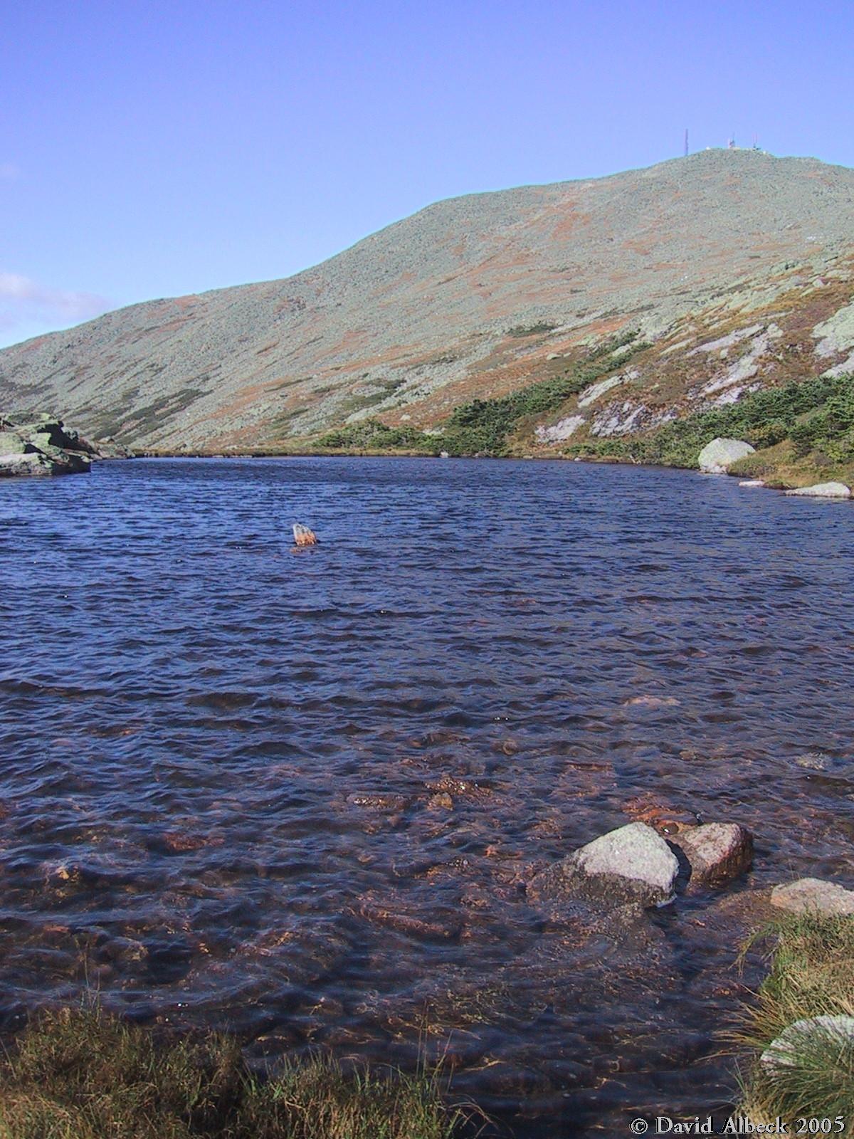
They're called the Lakes of the Clouds, but only one tiny cloud is in sight in this view
of Mt Washington from the south.
|
|
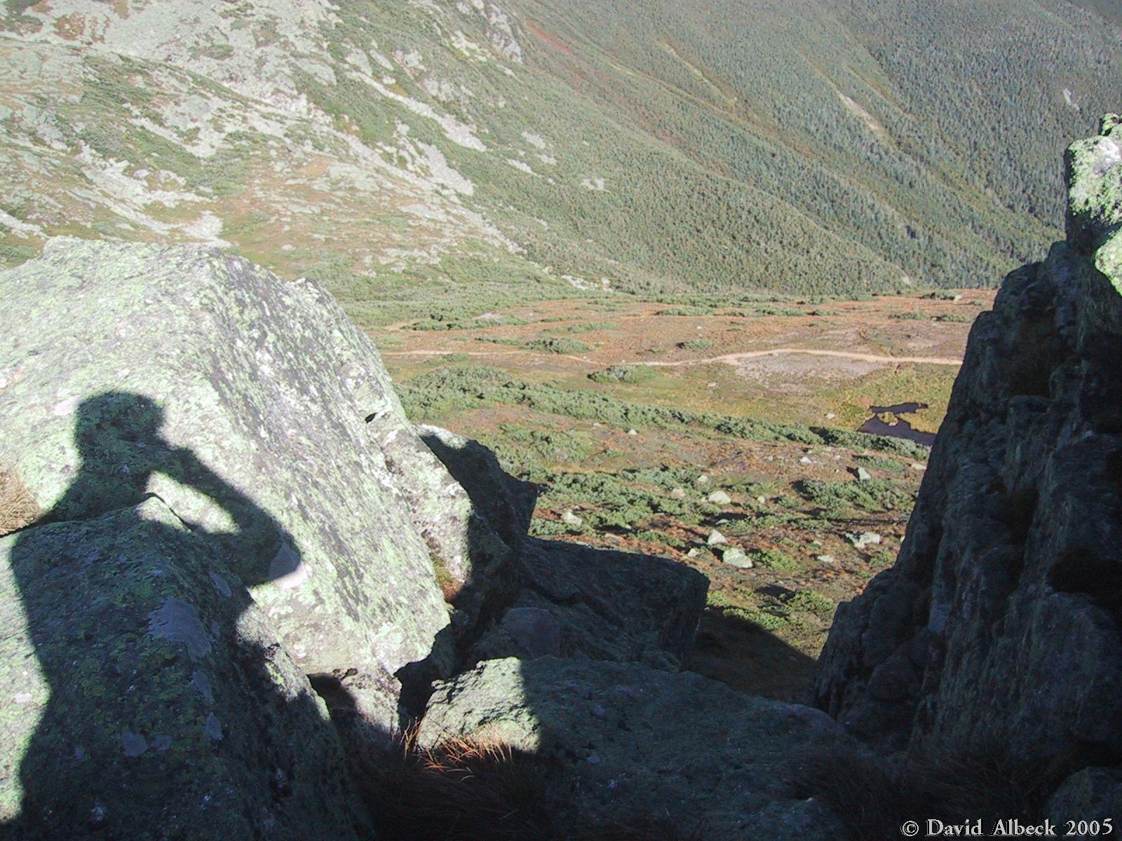
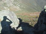
From the top of Mt Monroe, a steep gully and a photographer's shadow.
|
|
Mt Washington seen from Mt Monroe.
|
|
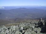
A view north from Little Monroe.
|
|
Panning slightly right from the same viewpoint.
|
|
The view north from Mt Franklin.
|
|
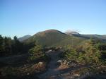
The view north from Mt Eisenhower. Notice Mts Franklin and Monroe at right.
|
|
More views from Mt Eisenhower.
|
|
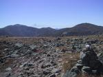
A view east from Mt Eisenhower, with Mt Isolation at center.
|
|
Another view of Jefferson from Eisenhower.
|
|
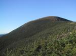
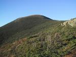
The summit of Eisenhower from just to the south.
|
|
With the great evening light, I couldn't resist stopping frequently for more photos
of Eisenhower.
|
|
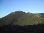
Eisenhower from the north slope of Mt Pierce.
|
|
Eisenhower in fading sunlight.
|
|
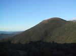
Eisenhower from the summit of Pierce.
|
|
Last photo before sunset.
|
|
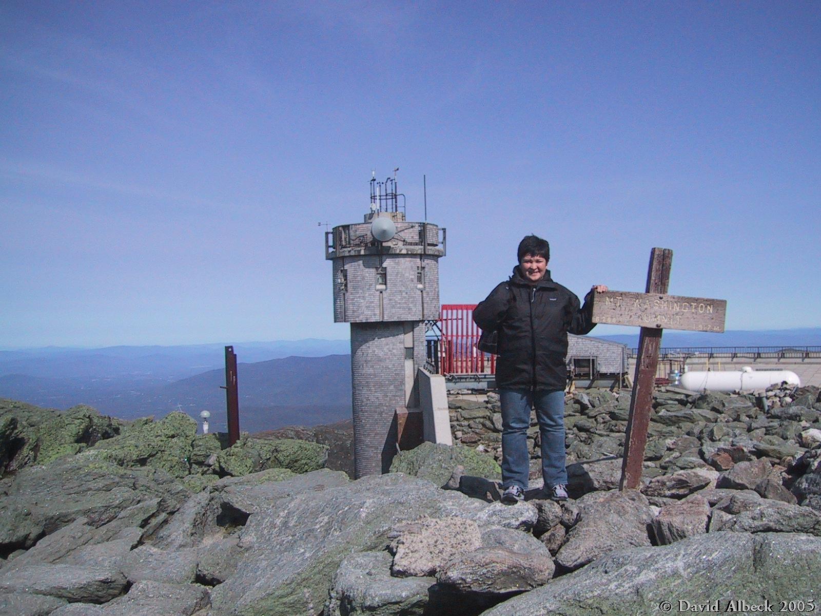
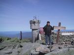
The next day Susel and I went up Mt Washington in style: by car (note the purse).
|

|
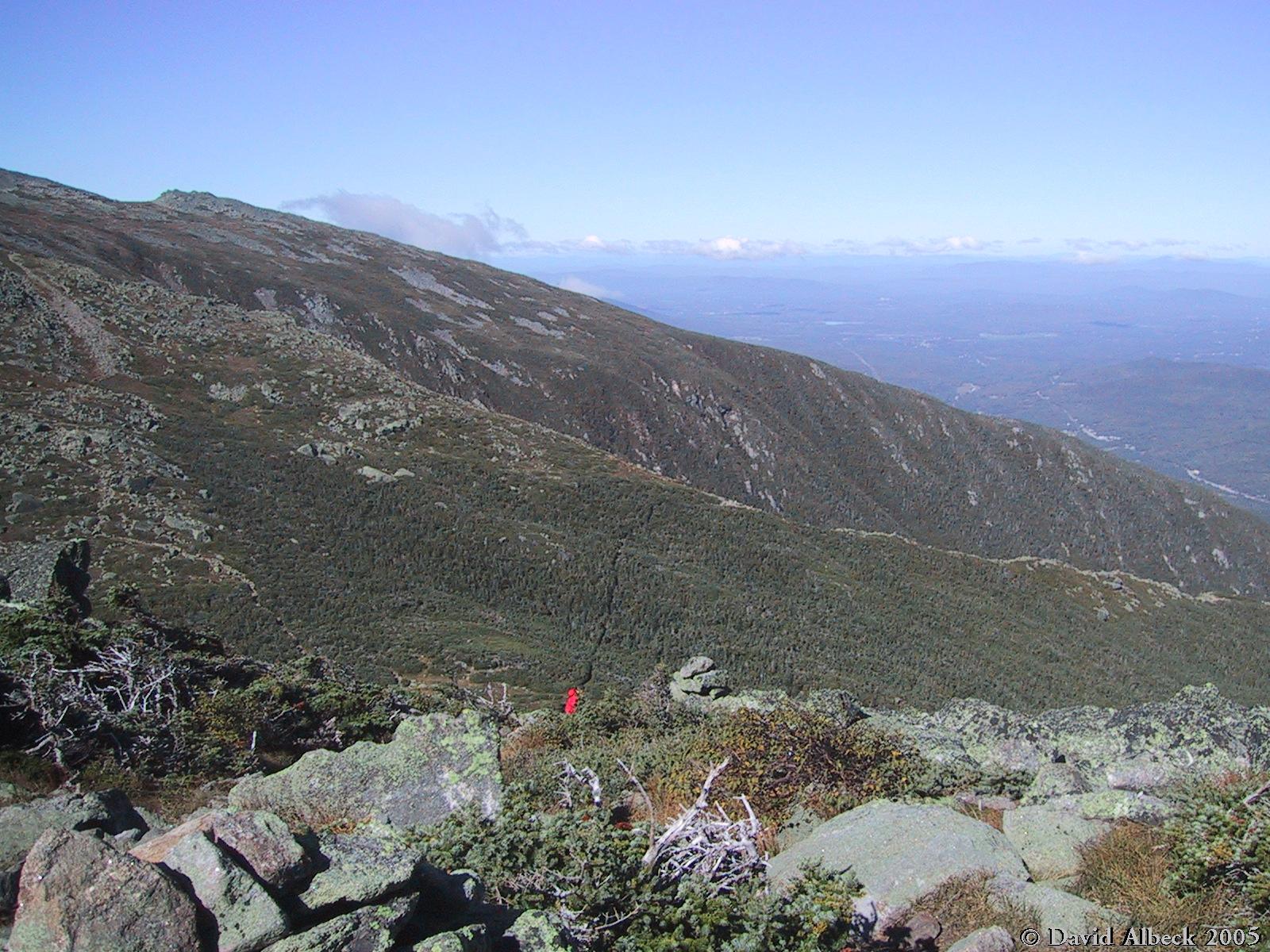
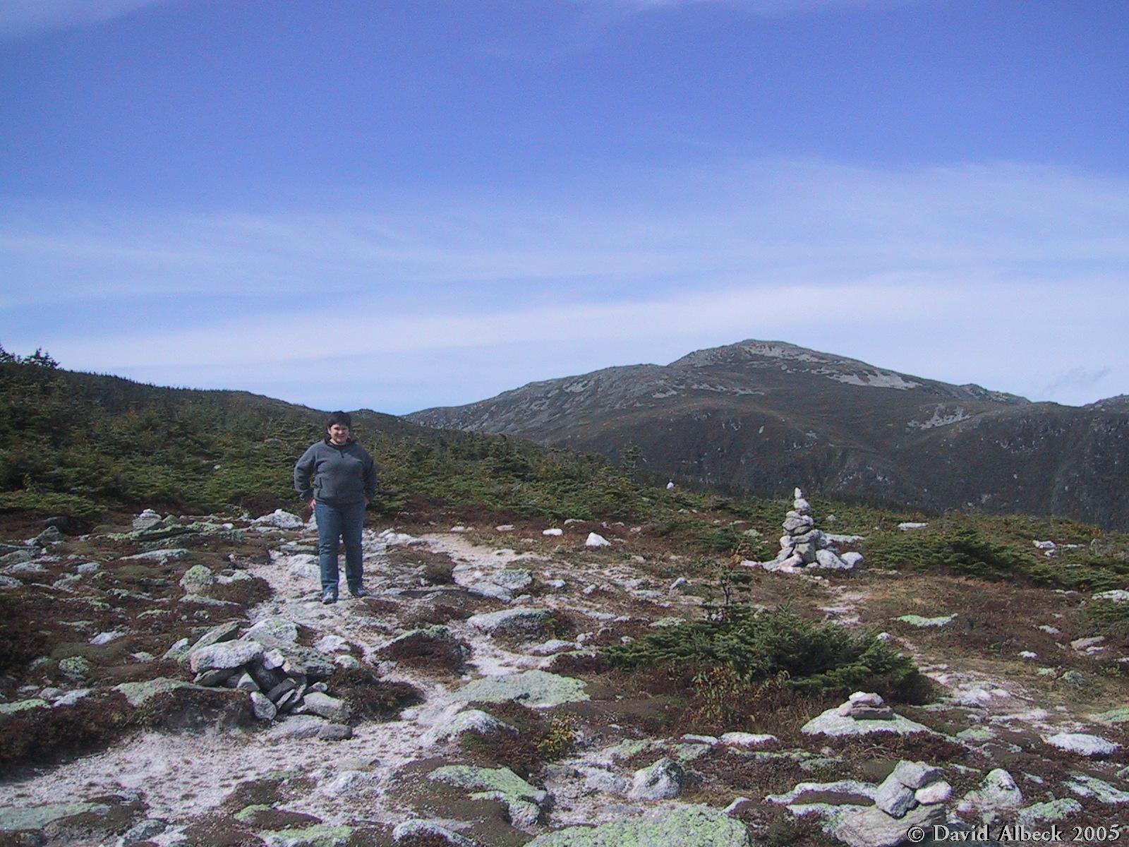
On the way down we paused above Nelson Crag to make sure our brakes stayed cool and
to take in more views with fewer crowds.
|
|
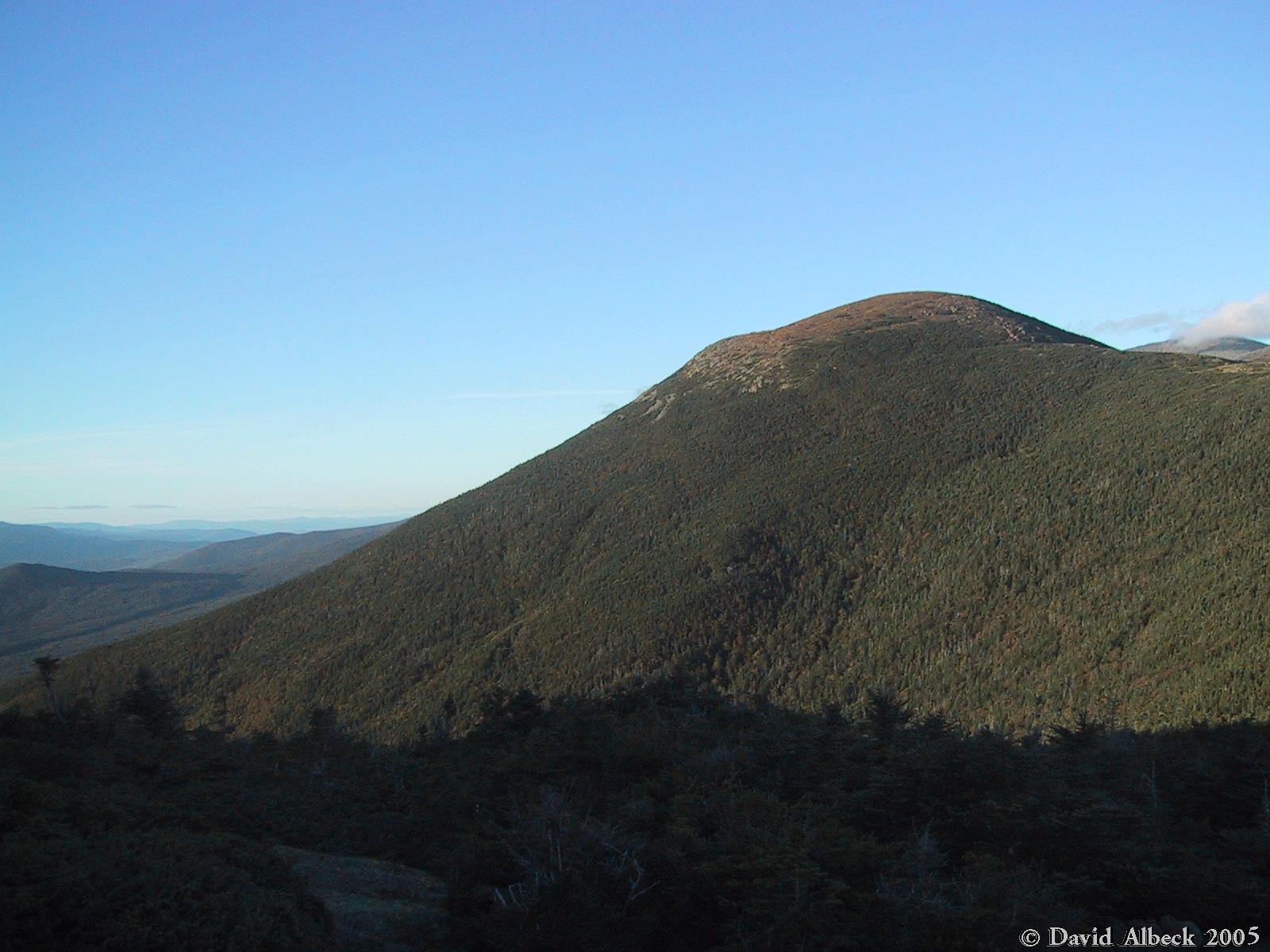
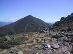
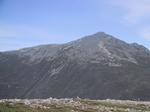
Mt Adams. The day was still incredibly clear, but as you can see, a bit hazier than the
day before.
|