|
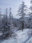
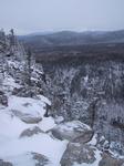
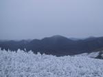
I stopped for lunch at this spot partway up Mt Hale.
|
|
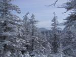
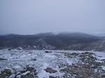
Another view from the same spot. I think that's Mt Field visible between the trees.
|
|
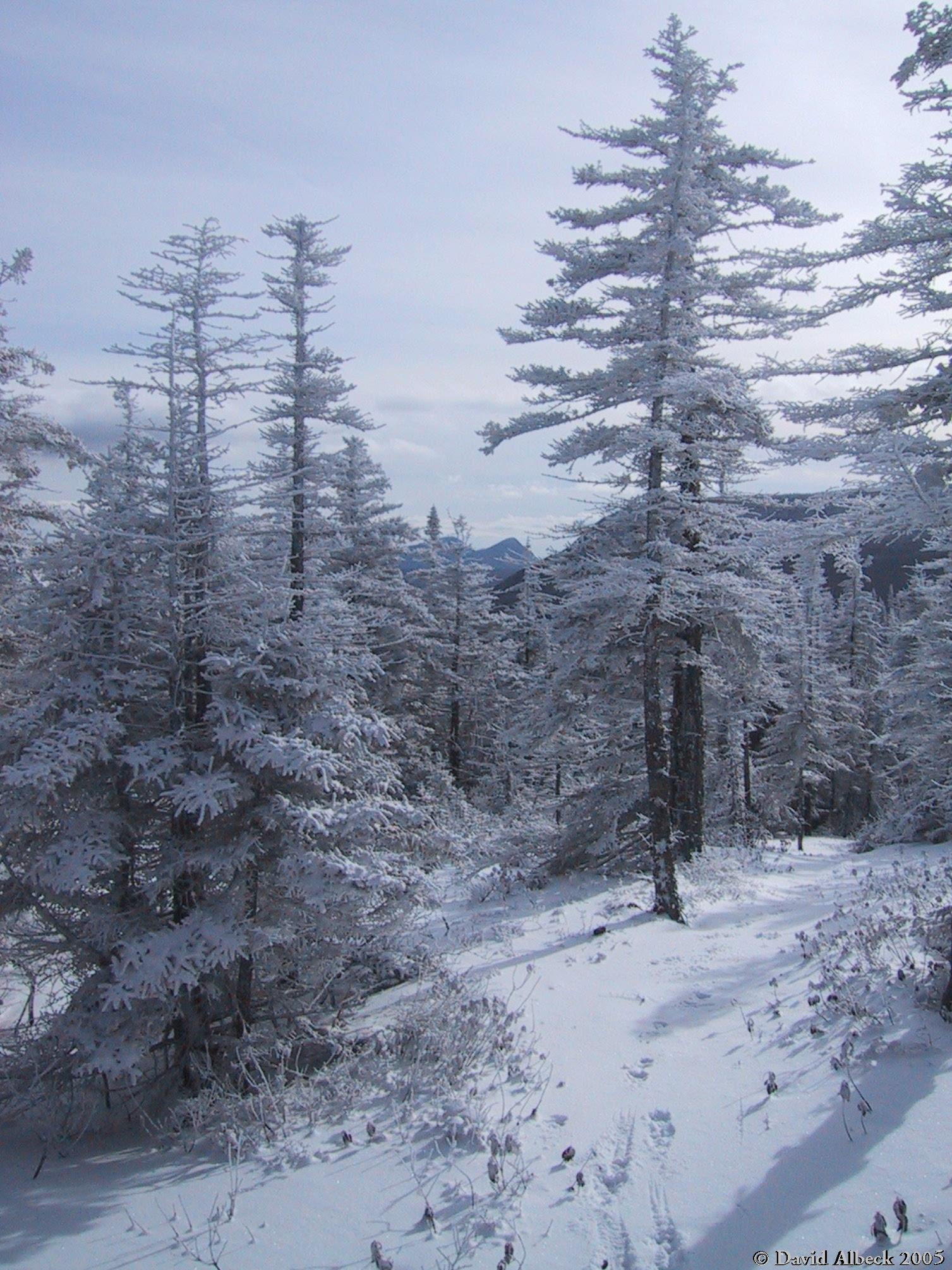
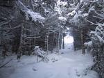
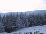
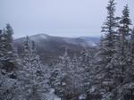
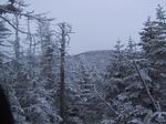
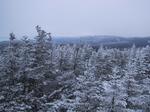
The patch of bright sky means I'm about to emerge from dense spruce
into the clearing on the summit.
|

|
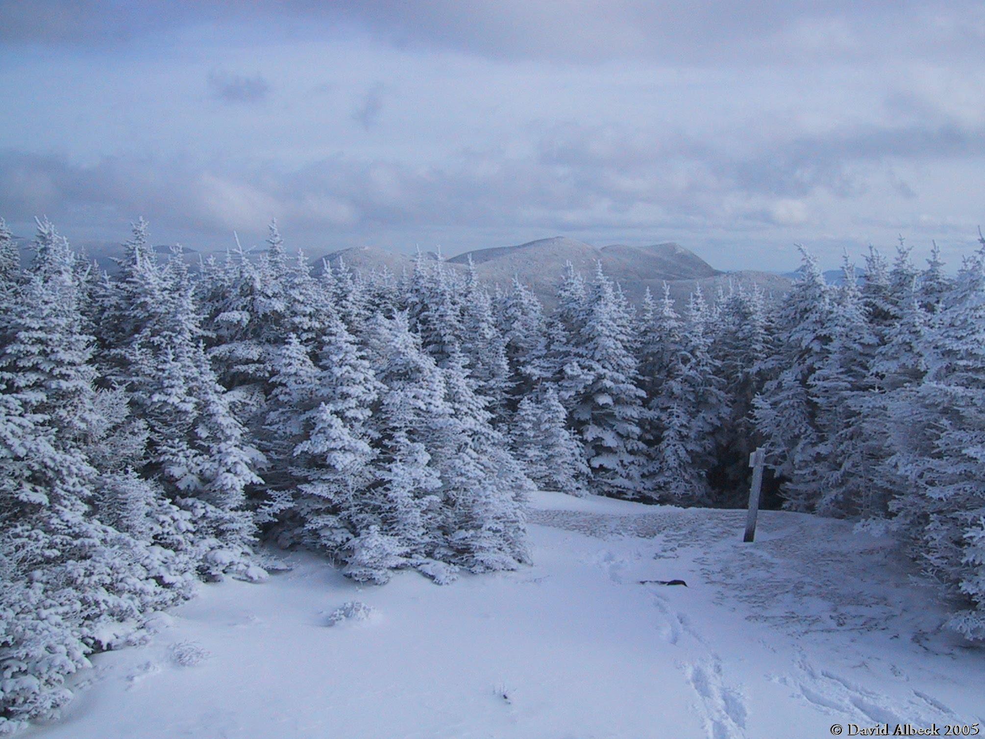
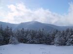
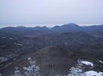
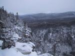
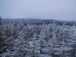
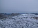
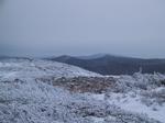
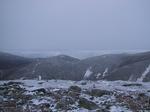
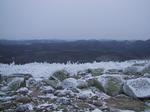
View from the summit, obtained by standing on a pile of rubble from a destroyed building.
Mount Field at right, Mount Tom to its left.
|
|
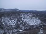
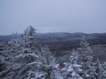
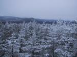
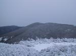
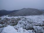
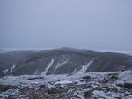
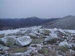
Another summit view, southwest toward North Twin Mountain.
|
|
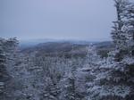
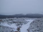
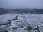
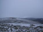
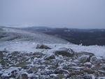
More summit views - South Twin in the glare.
|
|
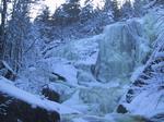
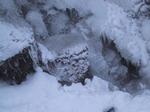
After returning to Zealand Falls Hut, I sauntered down to get some views of the eponymous Falls.
|
|
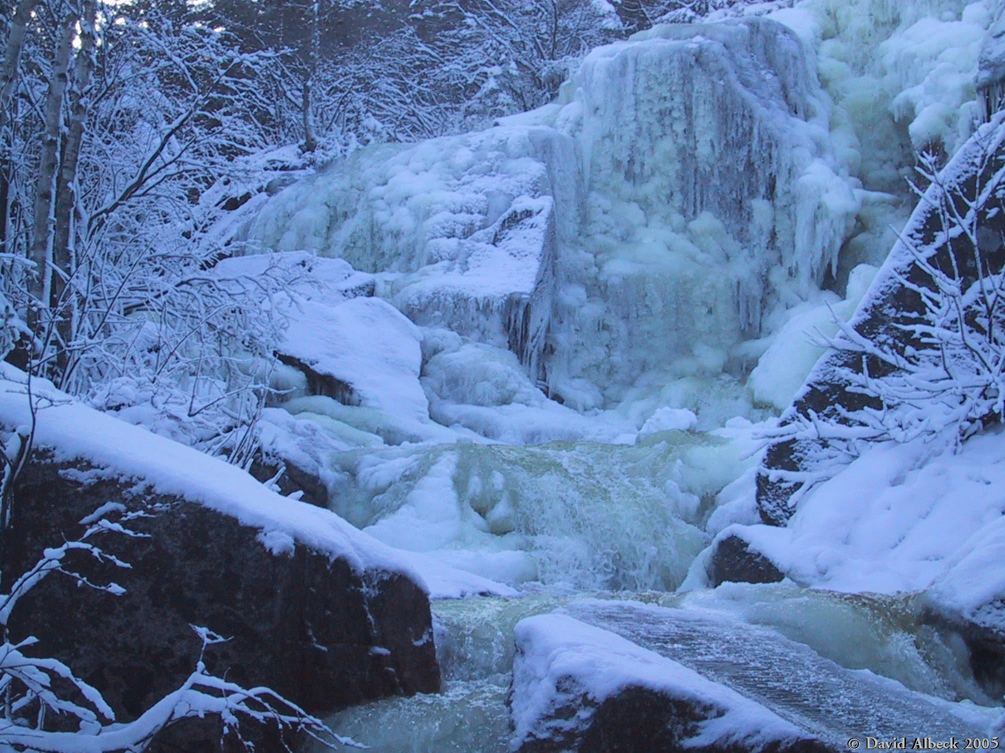
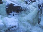
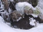
Detail of the unfrozen part of the falls.
|
|
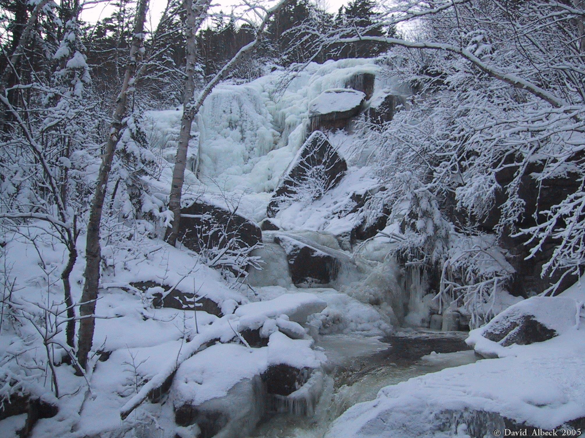
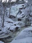
Another shot of the falls.
|
|
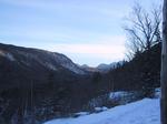
Morning view from the hut's front porch. Zealand Notch (foreground) lines up neatly
with Carrigain Notch (on the horizon).
|
|
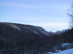
Similar shot, with slightly more emphasis on Whitewall Mountain, the western wall
of Zealand Notch.
|
|
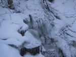
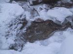
Detail of a half-frozen stream at the eastern end of the Twinway Trail. After a
week of very warm weather, new ice was just beginning to form.
|
|
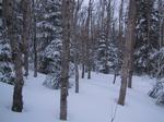
An unusually airy strand of birch low on the eastern shoulder of Zealand Mountain.
|
|
Nearing 4000 feet, glimpsing the summit of Zealand Mountain ahead.
|
|
From the viewpoint atop Zeacliff, a view south toward Mt Carrigain.
|
|
From the viewpoint atop Zeacliff, a view east over Whitewall toward Mt Willey.
|
|
More of the view from Zeacliff - Mounts Washington and Jefferson on the horizon.
|
|
Similar shot.
|
|
Mt Washington again, seen from the ridge just above the Zeacliff overlook.
|
|
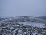
This is the view from the summit of Zealand Mountain. Seriously.
|
|
From the ridge just west of the Zealand summit,
a partial view toward South Twin Mountain.
|
|
Another view toward Washington from the ridge west of Zealand's summit
- on-third of a panorama.
|
|
Second third of the panorama.
|
|
Third part of the panorama.
|
|
Another view from the ridge.
|
|
From the summit of Guyot, a view southeast to Mt Carrigain. Note the snow falling on
Carrigain's summit.
|
|
Guyot summit panorama: view south to Bond.
|
|
Guyot summit panorama: view south-southwest to Guyot's secondary peak and to West Bond.
|
|
Guyot summit panorama: view West to Franconia Ridge.
|
|
Guyot summit panorama: view Southwest to Liberty and Flume.
|
|
From Guyot's secondary peak, view south to Bond.
|
|
From Guyot's secondary peak, view southwest to West Bond.
|
|
From Guyot's secondary peak, view west (over Owl's Head) to the Franconia Ridge.
|
|
From Guyot's secondary peak, view northwest. I think the pointy peak is Galehead.
|
|
From Guyot's secondary peak, view north-northwest to South Twin.
|
|
From Guyot's secondary peak, view north-northeast to Guyot summit and Mt Washington.
|
|
basically the same shot - I got in the habit of repeating my snaps
to be sure they got recorded, since my battery was very weak due to the cold.
|
|
View southeast from Guyot's secondary summit.
|
|
View south-southeast to Carrigain and Bond.
|
|
View east-northeast to Washington.
|
|
A frozen stream on the return trip.
|
|
Stream detail.
|
|
Another detail from the same stream, showing a few different shapes of new ice growth.
|

|
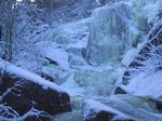
Zealand Falls again.
|
|
One last shot of Zealand Falls.
|
|
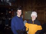
The main room of Zealand Falls Hut.
|