Home
Photos
Hiking
Writings
Contact
Copyright
Subway trail

Mt Mansfield 2011
My second visit (my previous trip was in September 2010) to one of my favorite peaks, with special attention paid to finding interesting and challenging trails. Starting with the Hell Brook trail again, of course.
Click a thumbnail to see a full-size photo.
Or, View as Slide Show
Part 1: Up from Hell Brook
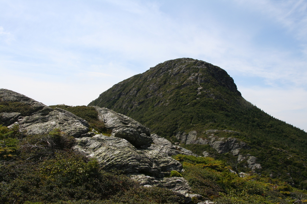
Mt Mansfield provides one of the most scenic hikes in the eastern US. The tallest point in Vermont, it dominates the Green Mountains, and has views westward over Lake Champlain to the Adirondacks, eastward over the Connecticut River valley to the White Mountains, and northward into Canada. A long ridge, perched on cliffs above treeline, lets you take in the views at leisure as you make your way southward from the summit, known as the Chin, to another 4000-foot peak called the Nose. (Seen from east or west, the shape of the mountain somewhat resembles the face of a man lying on his back, with the top of his head to the south.)
This was my second trip to Mt Mansfield. On the previous trip I'd enjoyed the challenging Hell Brook trail, but found the summmit and the main ridge a little crowded for my taste. I'd also disliked the circuitous and unsightly route I'd taken up the Nose, via a maintenance road serving the TV antennas. This time we did things a little differently.
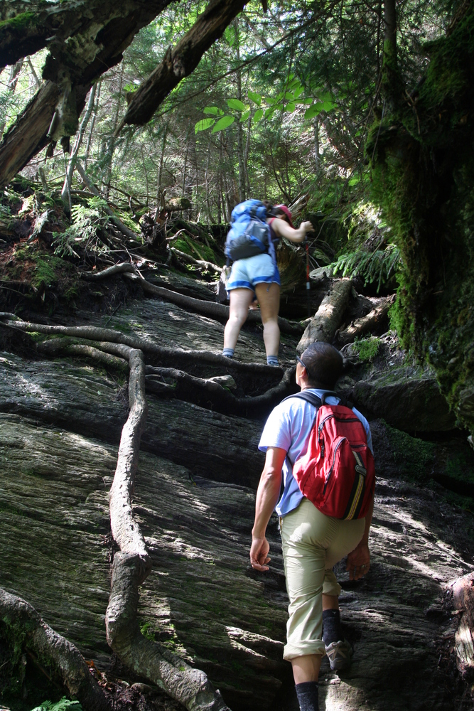
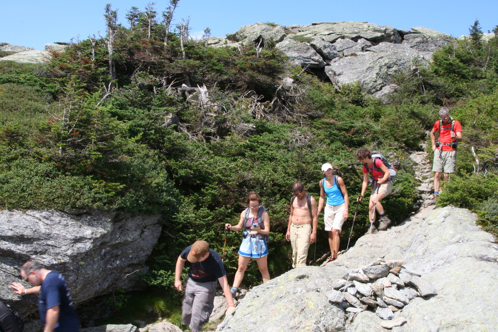
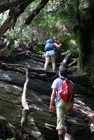
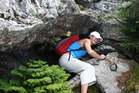
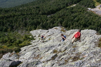
The group consisted of Smaranda, Zuzana, Reich, and myself. I knew Smaranda loved to scramble, and I expected Zuzana and Reich to be in great shape, so I had no trouble talking them into starting with the Hell Brook trail.
The trail required a bit of mental adjustment after a relaxing car ride, but we all rose to the challenge and came to relish the constant problem-solving required by this wet, steep trail.
|
Starting up the Hell Brook Trail. The steep stuff starts right away.
|
|
Zuzana resting under a huge boulder.
|

|
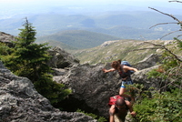
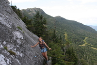
Smaranda clambering up the trail.
|
Part 2: riding the Subway
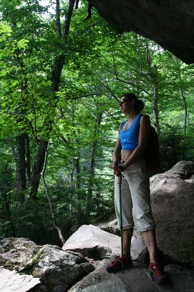
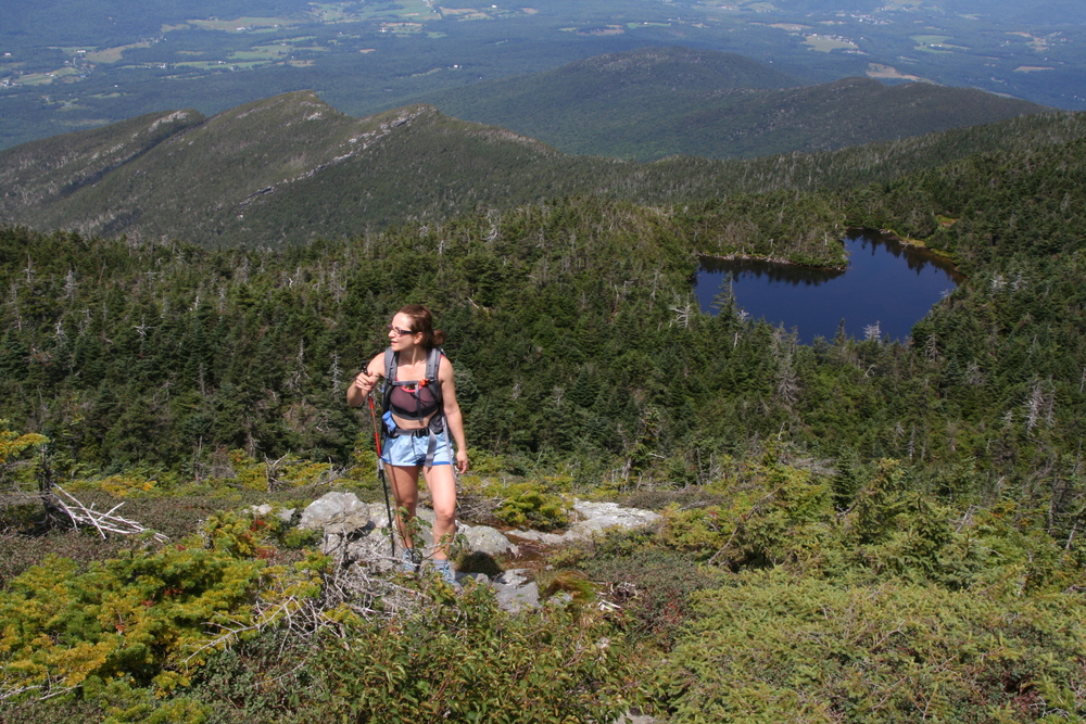
With that challenge behind us we stopped for lunch, and to enjoy the views, on the Adam's Apple, just below the summit.
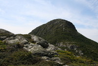
|
Summit (Chin) as seen from Adam's Apple
|

|
Smaranda cresting the Adam's Apple. Lake of the Clouds below.
|
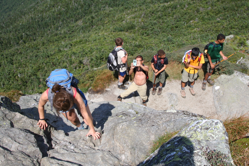
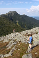
Then we joined throngs of boy scouts on the scramble to the summit itself.
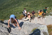
|
A queue formed at the steep slab just below the summit.
|

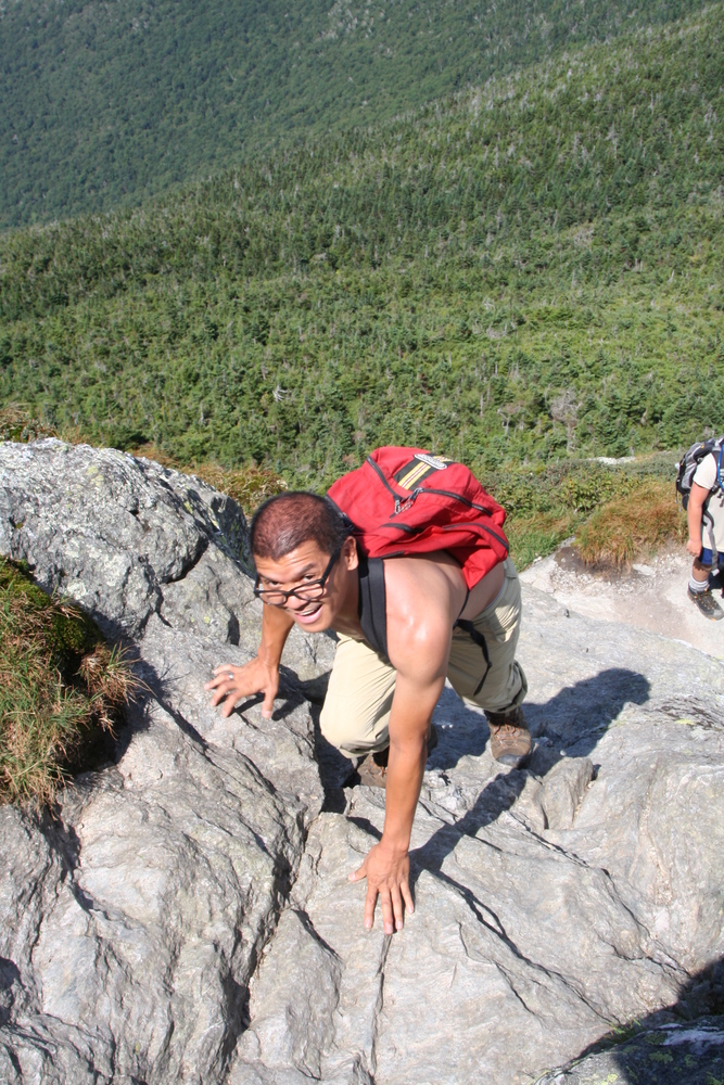
|
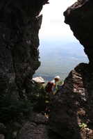
Reich climbing to the top.
|
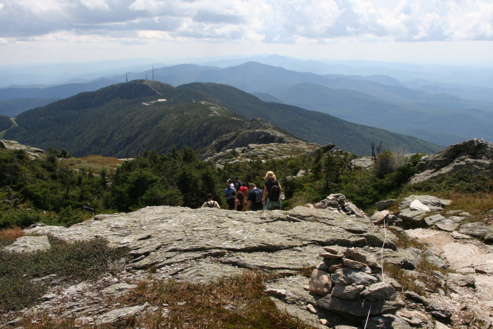
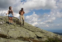
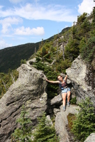
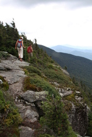
The ridge south of the summit delivered incredible views, but the trail was crowded.

|
View south along the ridge.
|

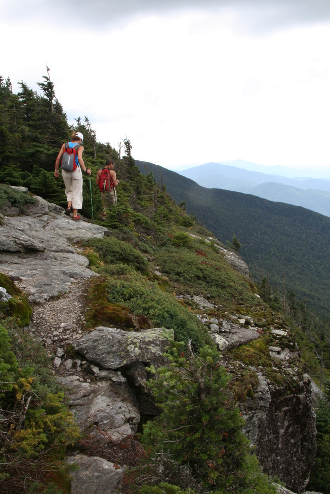
|
Crowds on the ridge trail.
|
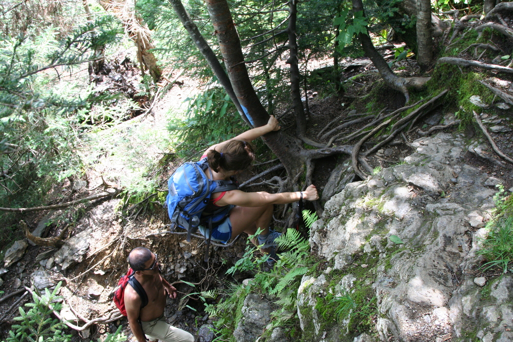
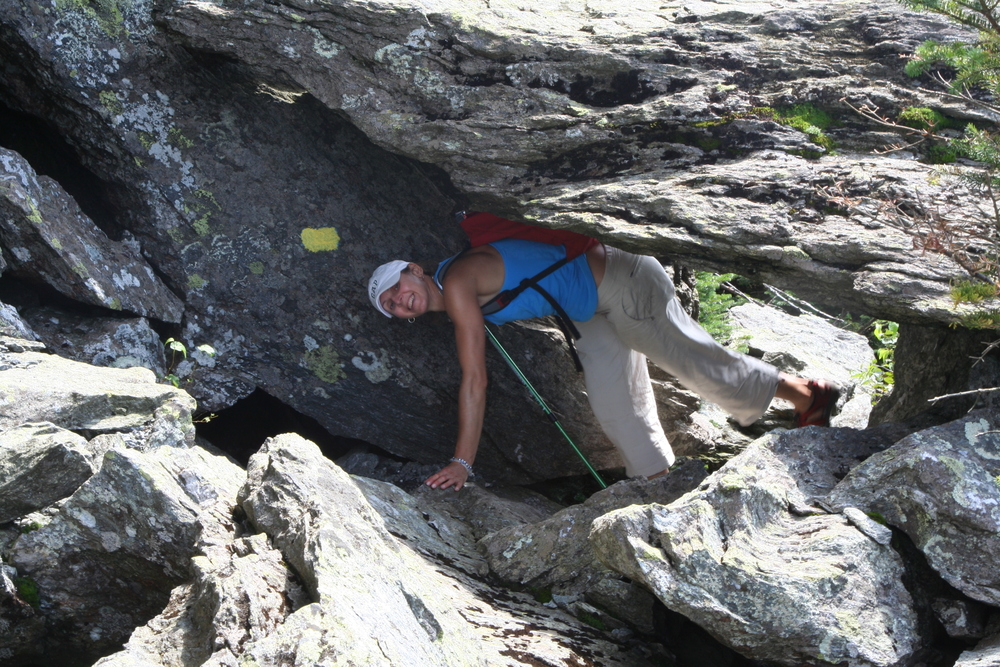
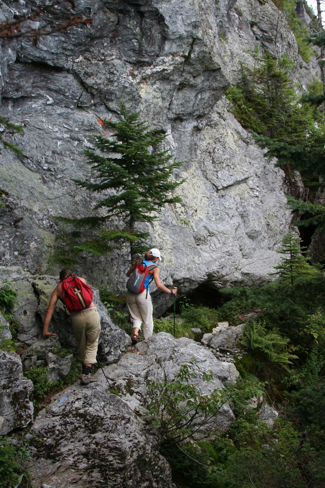
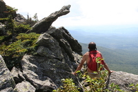
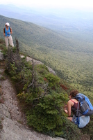
When the opportunity arose, we dropped off the ridge and into the Subway.
|
A moment of peace at the edge of the ridge.
|
|
Dropping off the ridge.
|

|
Jumbled boulders below the ridge.
|
|
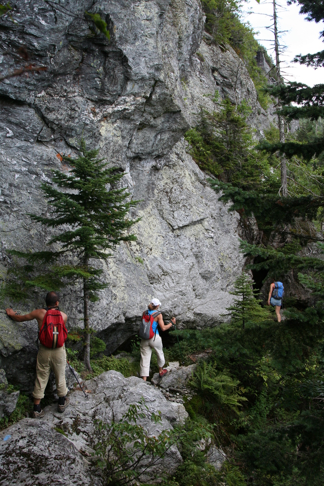
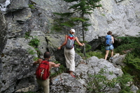
Working our way to the Subway.
|
|
A "doorway" at the start of the Subway.
|

|
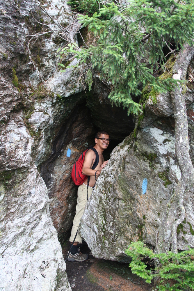
One of the Subway's famous tunnels.
|

|
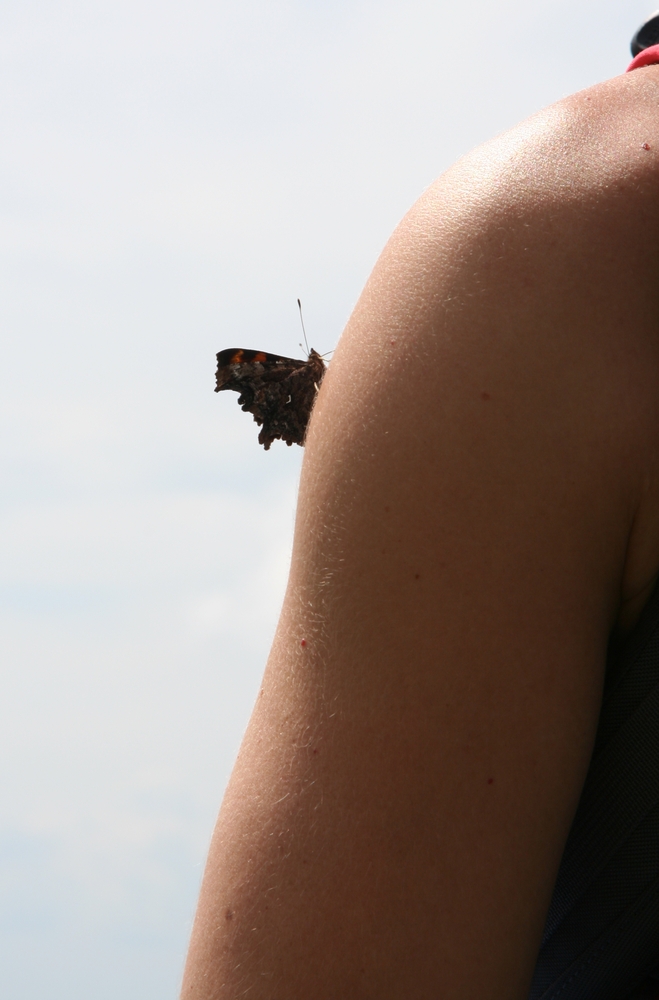
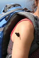
An unexpected guest.
|
|
It's a comma.
|
|
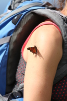
Comma with half-open wings.
|
|
Zuzana backing into another tunnel.
|
|
Eventually we emerge onto a more open trail.
|
|
An airy ledge.
|

|
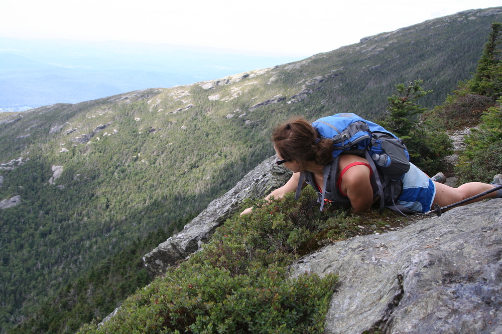
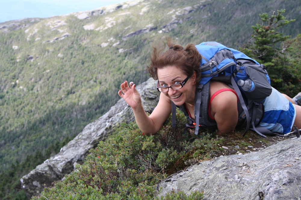
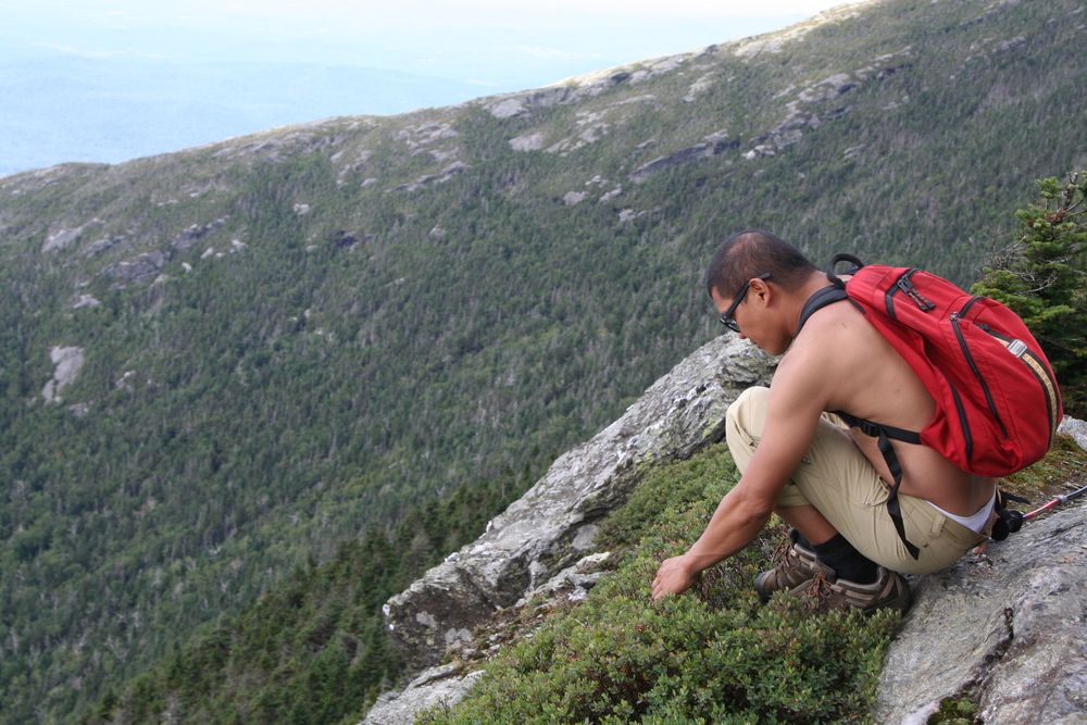
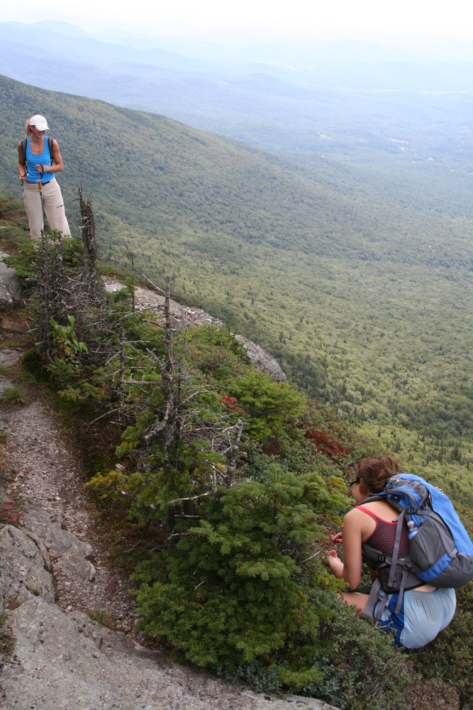
We interrupt this hike to forage for bilberries.
|

|
Yum!
|
|
Reich joins in...
|
|
While Zuzana takes photos.
|
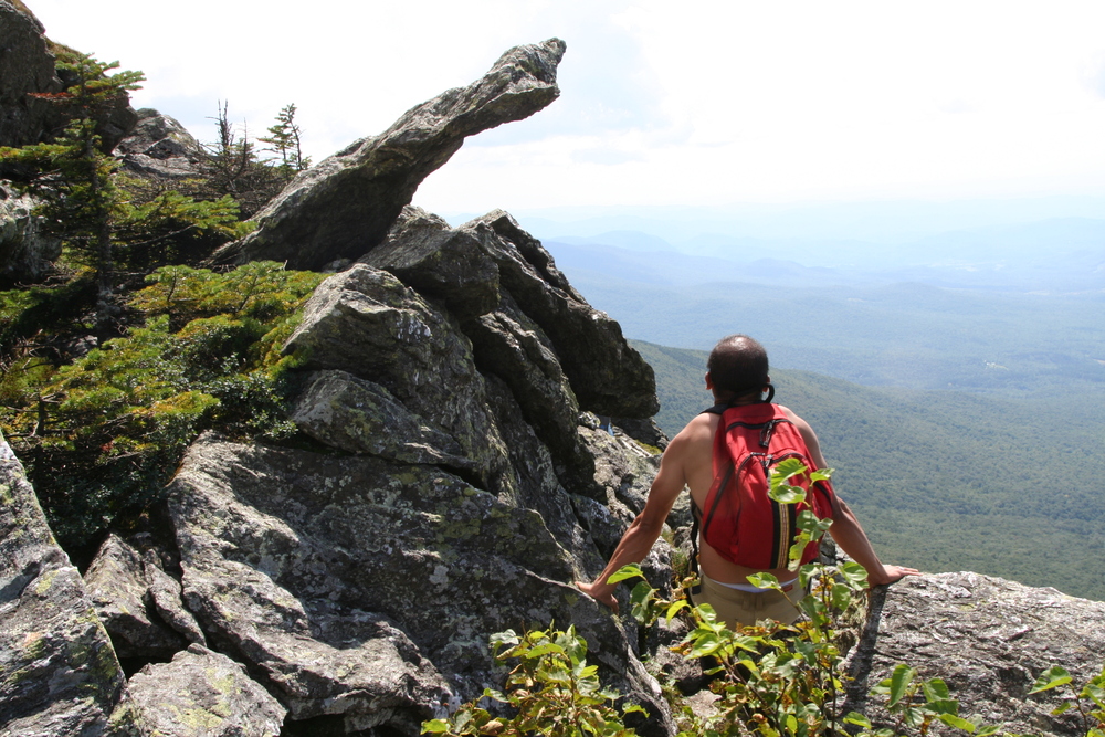
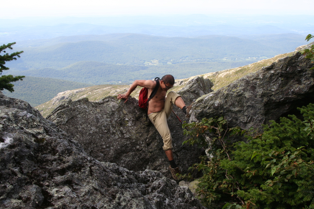
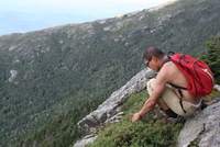
Part 3: picking the old Nose trail.
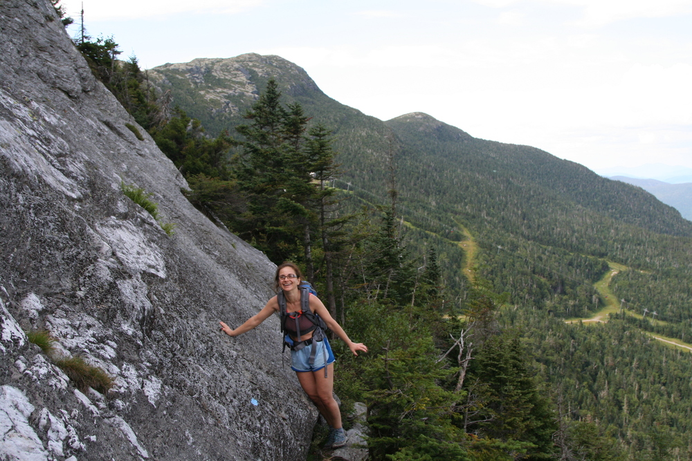
Progress on the Subway was slow, so we eventually rejoined the main ridge in the interest of time. This brought us quickly to the base of the Nose. I had no trouble finding the beginning of the old direct trail up the Nose, which was only perfunctorily brushed in, and quickly became yet another scramble. This one was easy, and the views were fantastic.
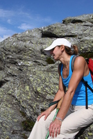
|
Zuzana taking a break halfway up the Nose.
|
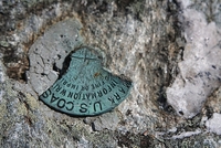
|
Damaged survery marker on the Nose.
|

|
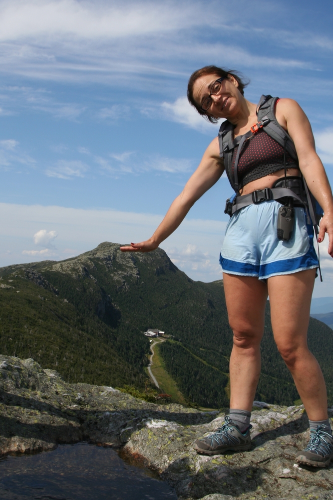
Smaranda leaning on the Chin while standing on the Nose.
|
|
Heading back down the old trail.
|
|
The old trail up the Nose.
|
part 4: Cliff Trail
Once back on the main trail, we had to choose our route back to the car. Zuzana and Reich had skied at Stowe, and remembered eating waffles at the top of the gondola. This was seriously tempting to our group (it had been a while since lunch), and a ranger we met opined that the gondola might keep running until 4:00. It was 3:45, and the gondola station about a mile away as the crow flies. We figured the gondola would probably keep running for an additional hour or so after closing time, until they were sure all their customers had gotten down. I thought riding the gondola wasn't very sporting, and nobody wanted to pay for a gondola ride, but Reich said his knees were hurting, so it was an option worth taking seriously. If we missed the gondola or decided not to take it, we (or some of us) could join the Long Trail from a point not far below the top of the ski trails. From the bottom of the Long Trail it would only be about a mile of road walking back to the car.
The direct route from the Nose to the gondola is called the Cliff Trail. Looked easy enough on the map...
|
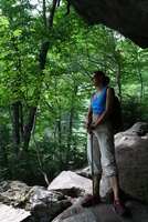
Smaranda on the exposed ledge of the Cliff Trail.
|
|
More of the Cliff Trail.
|

|
Same spot, different framing.
|

|
One more photo of this spot.
|
|
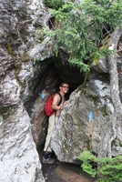
Last cave of the day.
|
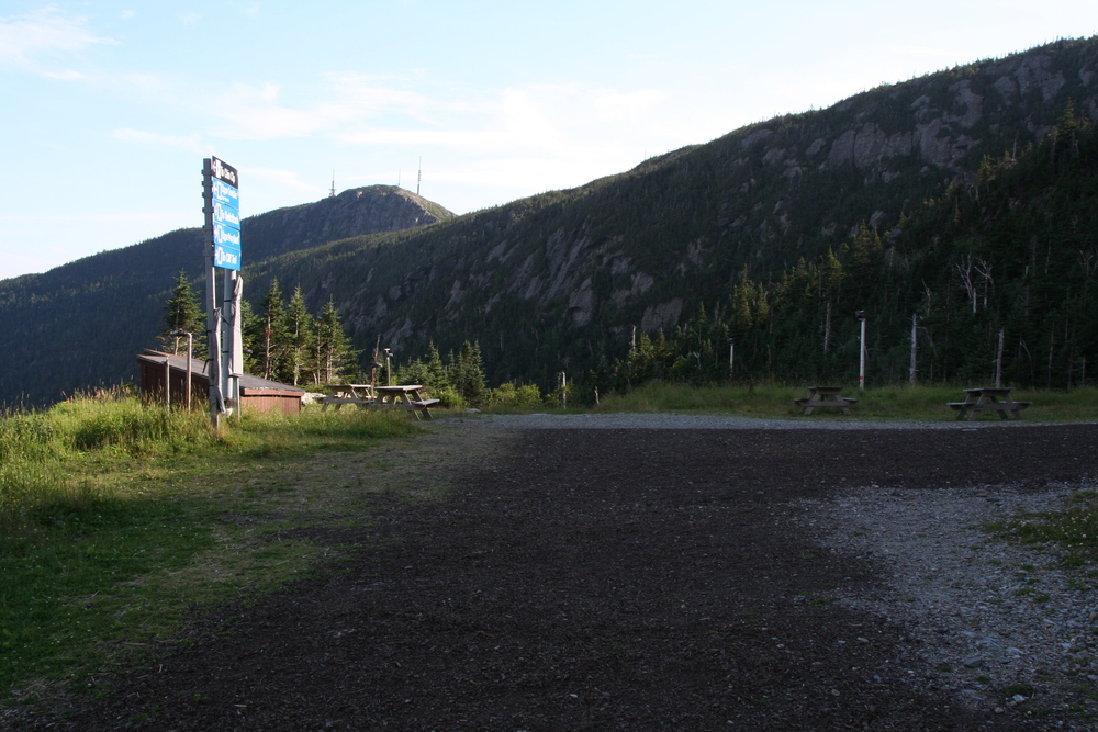
We arrived at the gondola station a little after 5:00 -- five minutes after it stopped running. The station was deserted.
We paused for a snack and some more photography.
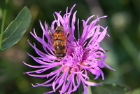
|
Fly on knapweed (Centaurea)
|

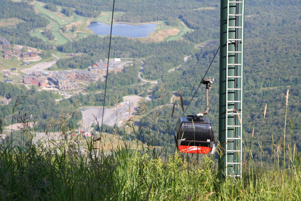
|
Gondola (photo by Smaranda).
|

|
Looking south to the Nose, from the gondola station.
|
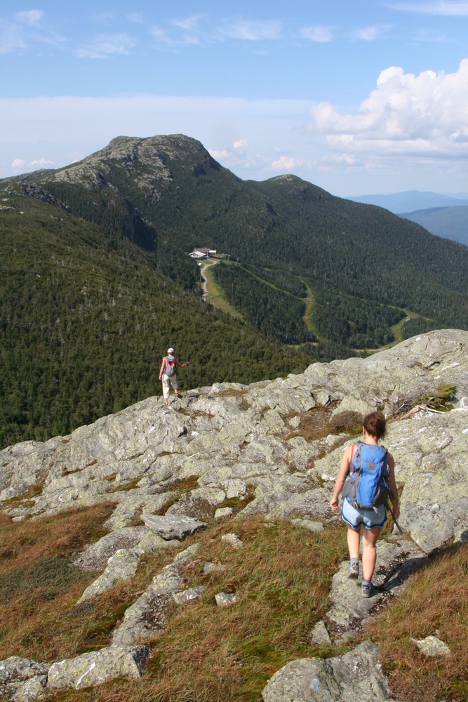
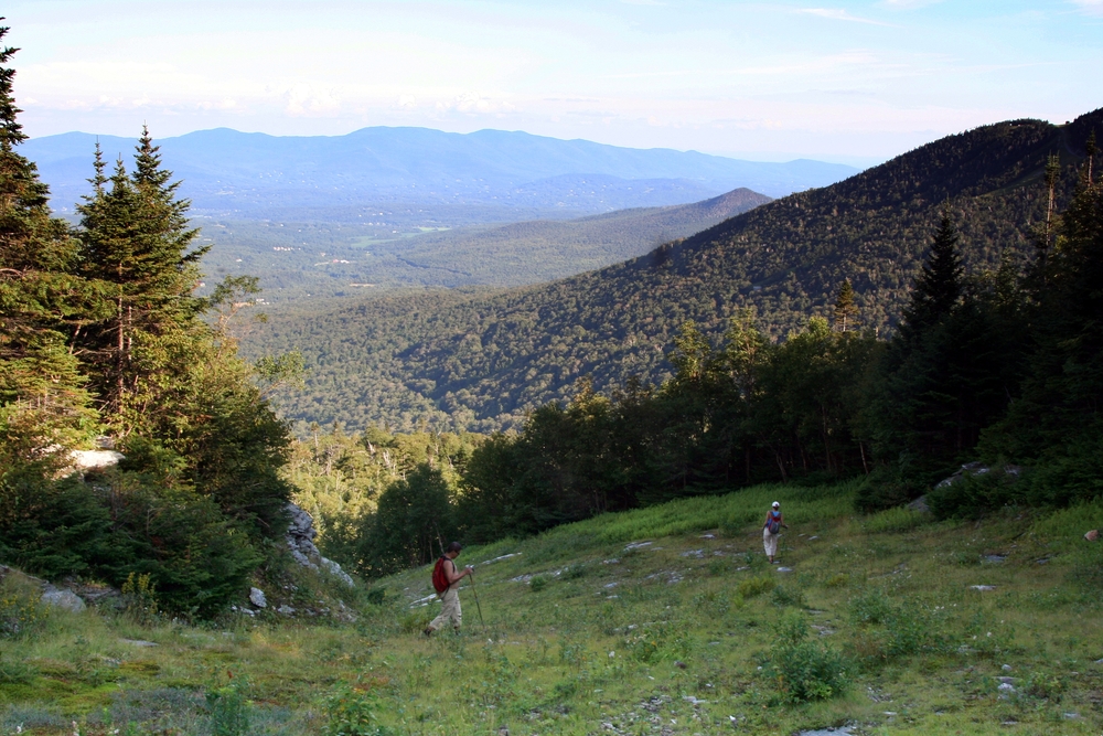
part 5: ski trails
Our next step was to walk down the ski trails to the point where the Long Trail nearly touches the ski slopes. I'd been to that point on the Long Trail and I knew the ski slopes were obvious from the trail, but visibility in the opposite direction was not guaranteed. I had a decent idea of how far down the ski slopes to start looking, but of course my first few guesses were wrong, and not only were there a few tempting streambeds and other false trails, there were recent tracks from other folks who were just as lost off-route as me.
At one point, even though I knew I wasn't on the right path, I decided to bushwhack a little further into the woods to see if the Long Trail might be close. I soon gave up on that and started following a mossy stream back toward the ski slopes. The stream provided a path with fewer trees, though it was rocky, mossy, and slippery. It soon developed into a gully and provided some fun (if wet) scrambling. To avoid a marshy spot right before the edge of the ski slope, I clambered out of the gully - and a tree ripped the glasses off my face. I was afraid my glasses had fallen down the bank and into the stream, but eventually I found them about four feet ahead and uphill of the tree branches that scratched my face. I still don't understand how they got there.
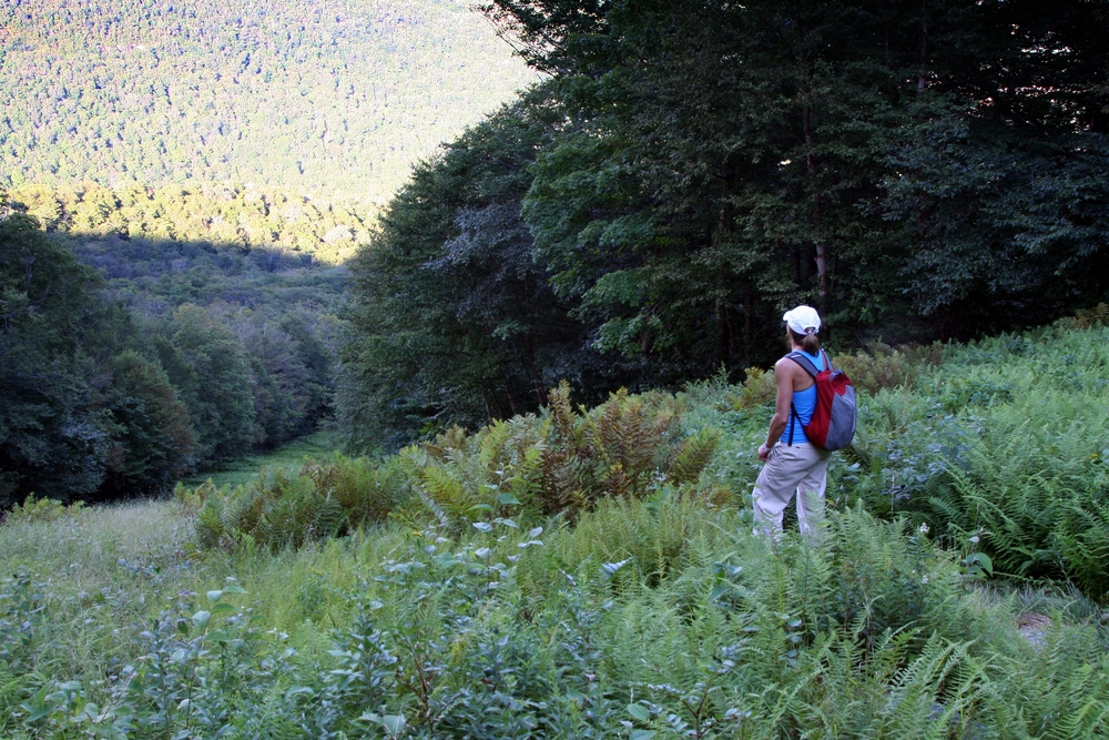
Reich reported that the ski slope was easier on his knees than the rocky trail had been, so even though we found the Long Trail (there was even a ribbon to mark the right spot) we decided to stay on the ski slopes. Reich reported that his knee felt better if he walked backwards, and the rest of us also took turns attempting this technique.

|
Descending the ski slopes.
|

|
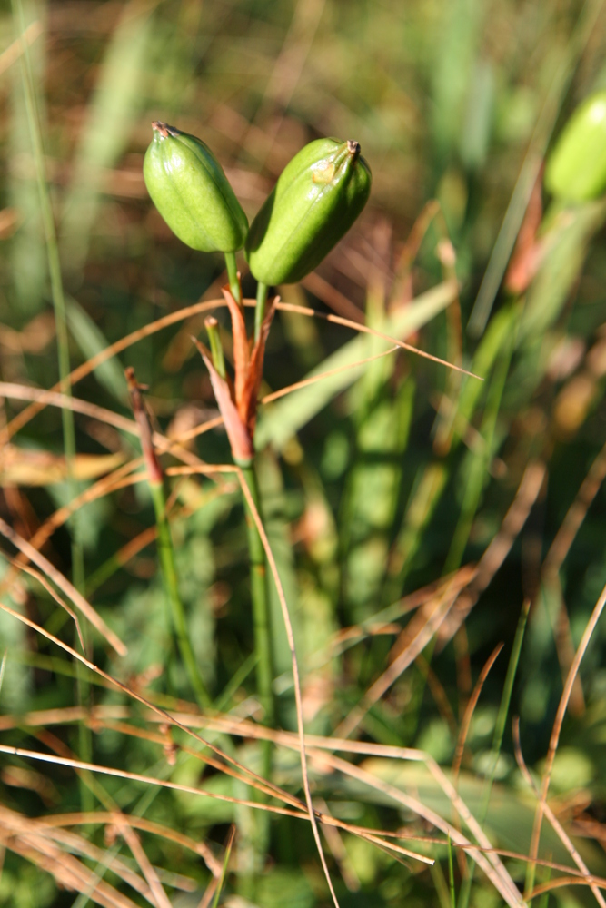
I think this is seeds of an iris, though it might be a lily.
|
|
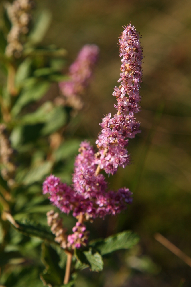
Steeplebush (Spirea).
|
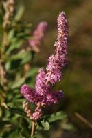
|
More steeplebush.
|
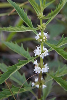
|
Something in the mint family (Lamiaceae)
|

|
Ferns on the ski trail.
|
|
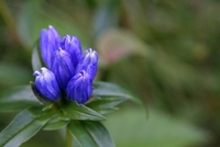
Bottle Gentian, Gentiana clausa
|