Home
Photos
Hiking
Writings
Contact
Copyright
Photos Home
Favorites
by Subject
Chronological
David Albeck's Photos of Survey Marks
Often, while hiking, one encounters benchmarks, triangulation marks, reference marks, and other mapmaker's monuments. Some people collect benchmark sightings the way other people track bird sightings, but I usually don't bother to photograph survey marks unless they're interesting in some way.
The most common benchmarks on hills in the Northeastern U.S. were placed by U.S. Coast & Geodetic Survey which started surveying the interior around 1878. (It was the successor to the Coastal Survey that began in 1807.) Renamed the National Geodetic Survey in 1970, it has been part of the National Oceanic and Atmospheric Administration within the Department of Commerce since that time.
Many other mapmaking agencies have placed marks of their own, including the similarly-named U.S. Geological Survey which operates under the auspices of the Department of the Interior.
On this page are few of my more artistically photographed and/or unusual benchmarks.
Click a thumbnail to see a full-size photo. Follow the link below the thumbnail to see the original gallery for each photo.
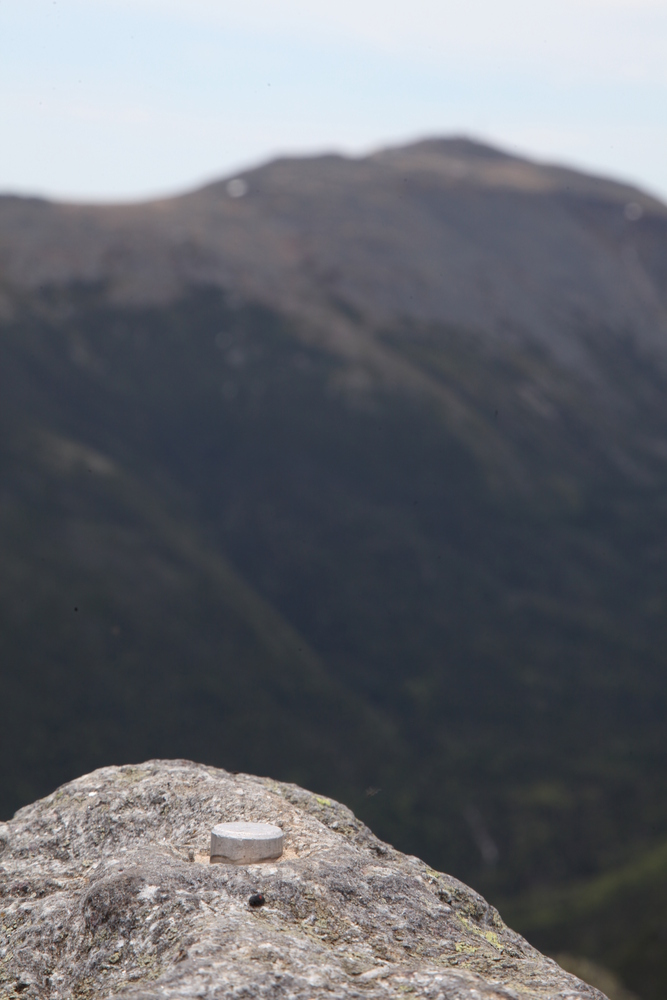
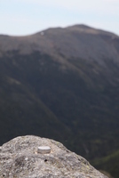
Unlabeled pin
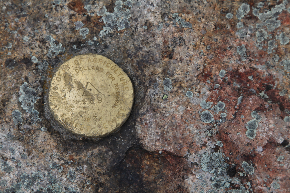
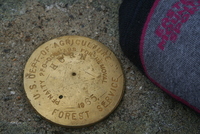
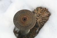
Dept. of Agriculture

Dept. of Agriculture
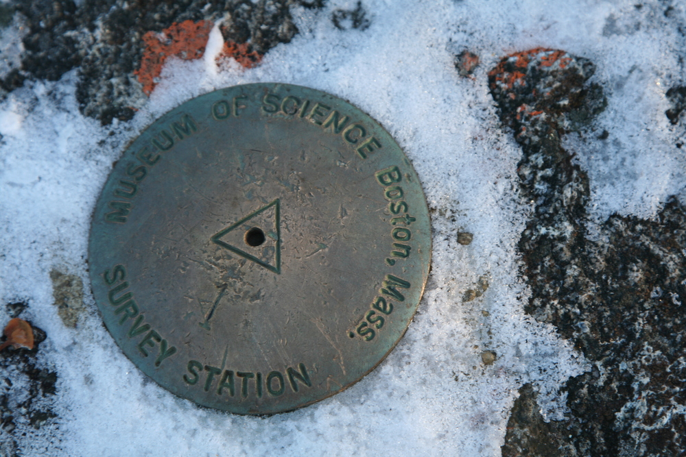
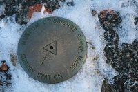
Boston Museum of Science
Mass. D.P.W. reference
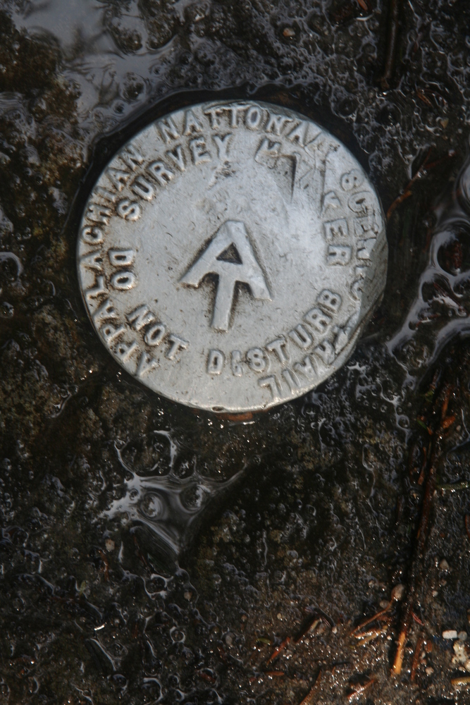
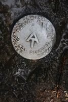
A.T. marker
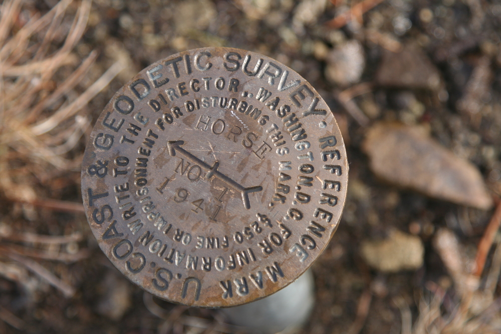
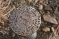
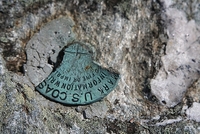
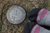
USC&GS triangulation
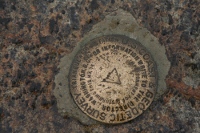
USC&GS directional
USC&GS triangulation
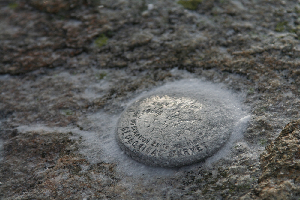
(no album;
on Cascade Mtn)
broken USC&GS marker
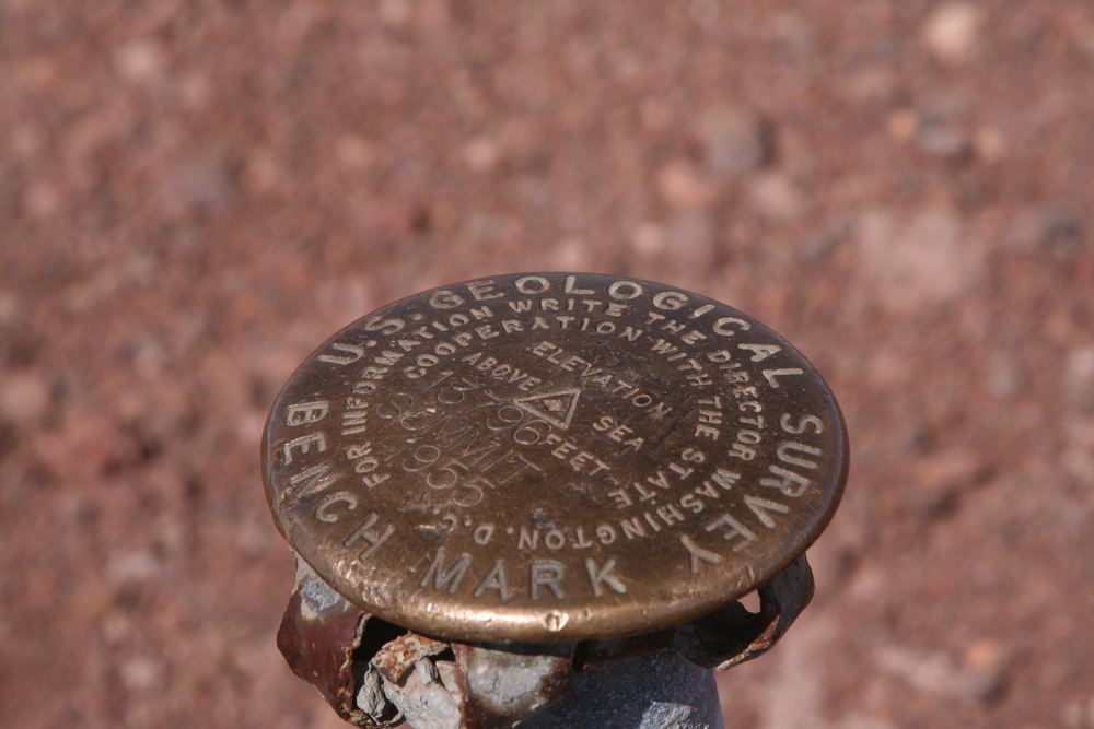
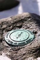
Dept. of Interior (USGS)

Dept. of Interior (USGS)
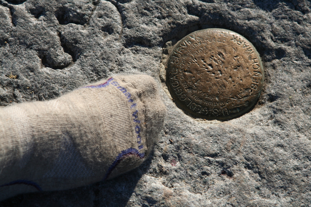
USGS
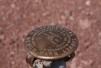
USGS

back to Photos by Subject