Home Photos
Mount Monadnock - Time & Weather Exposures
An ongoing project to document the effects of weather and time on
Mount Monadnock through a series of photographs taken at roughly the same locations.
Anyone wishing to contribute photos to this project should Contact Me
[Standing Stone]
[Bent Tree]
[Puddle]
[Halfway Sign]
[Fractured Rock]
Click a thumbnail to see a full-size photo; click the date to see more photos from that day
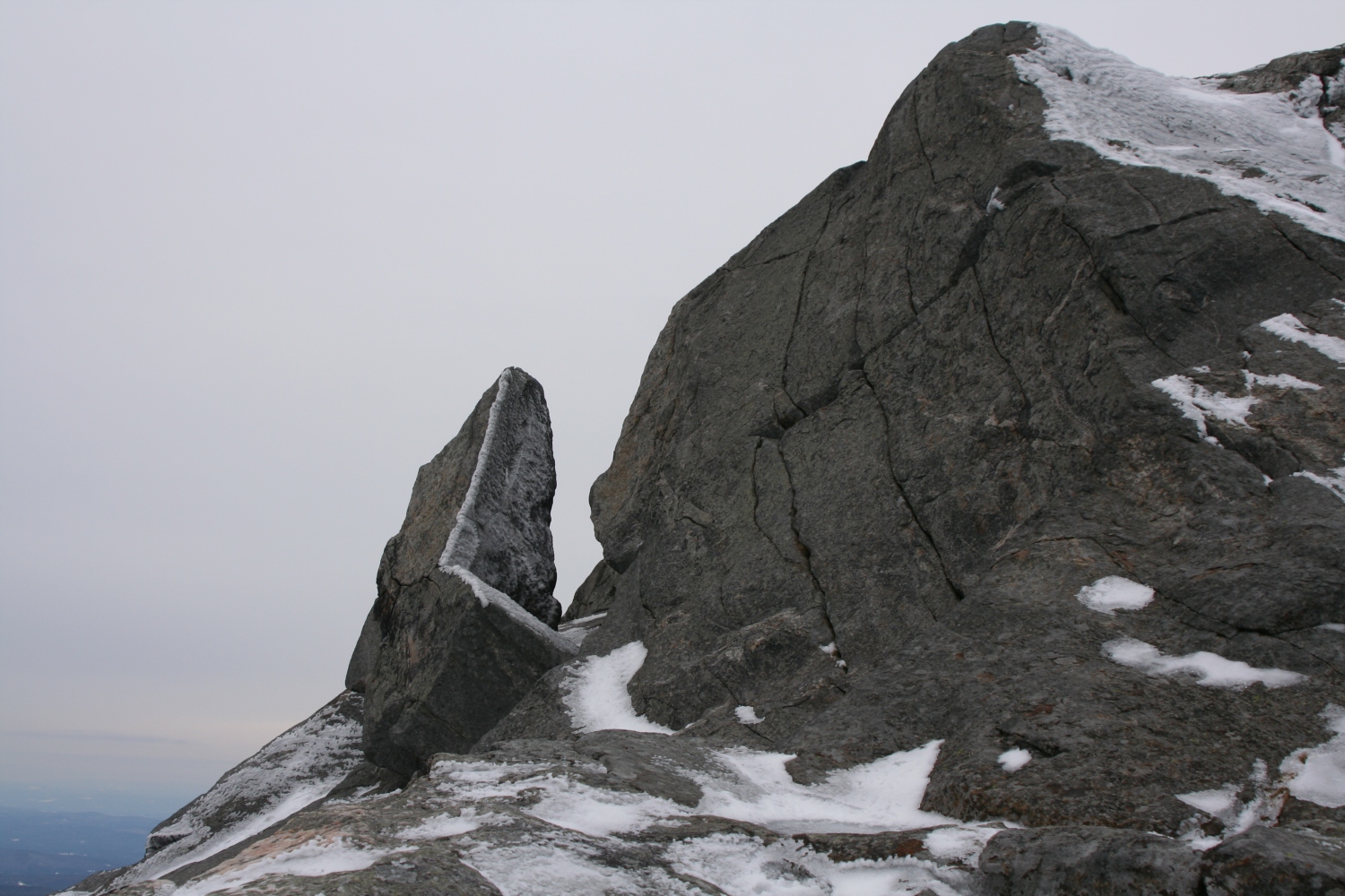
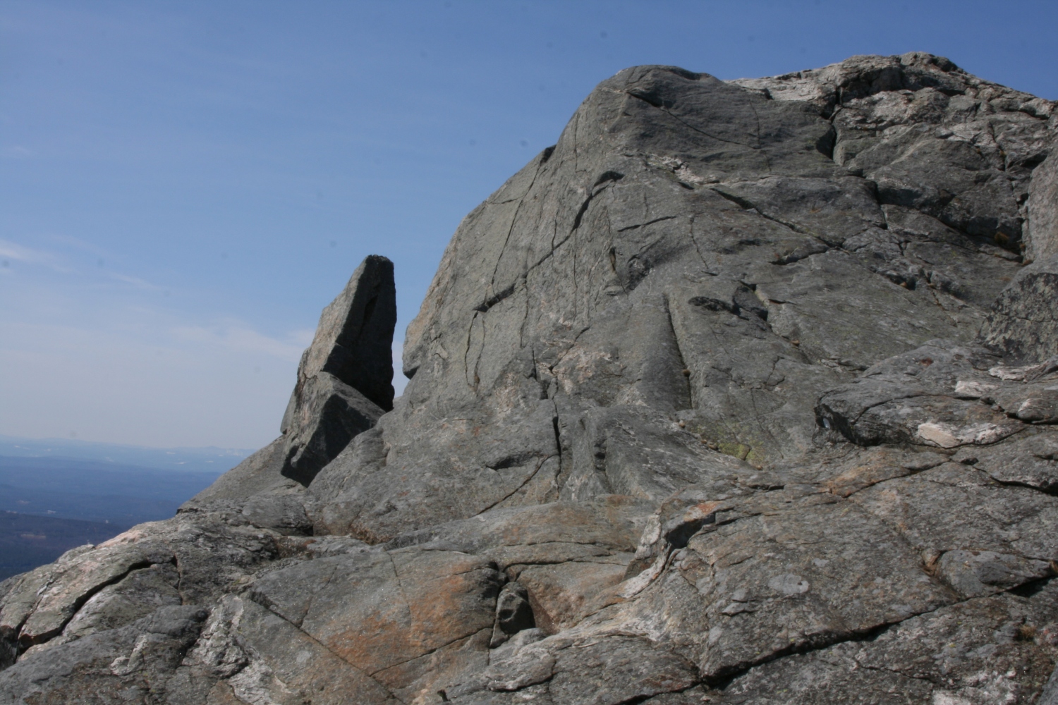
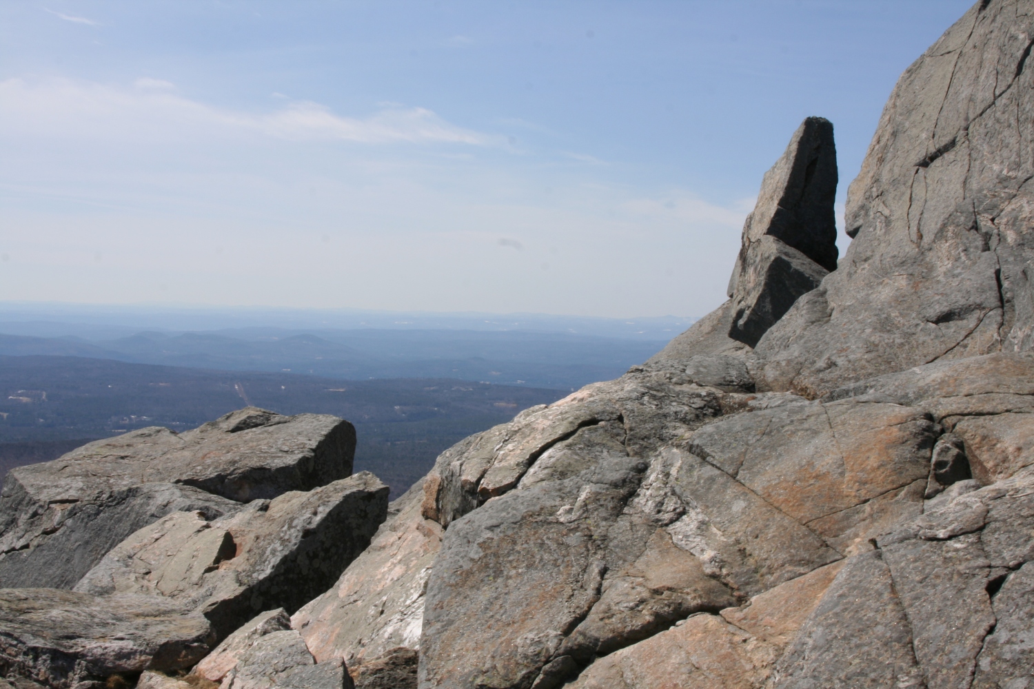
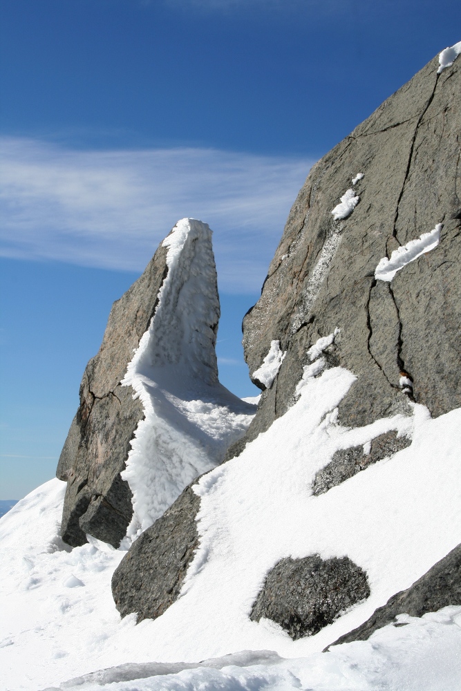
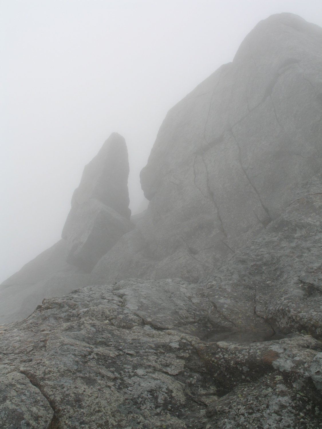
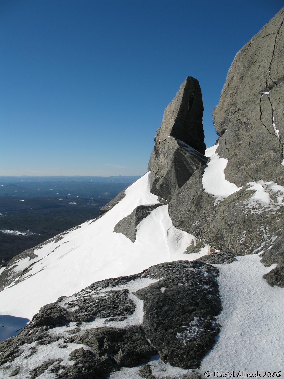
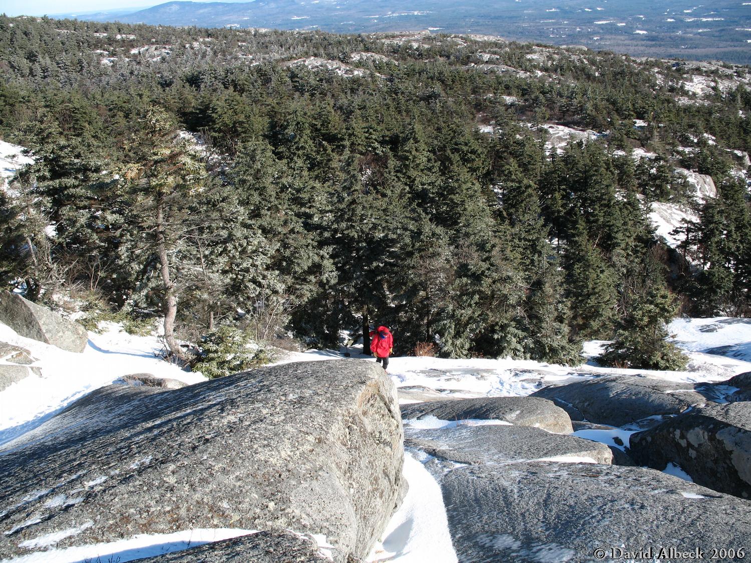
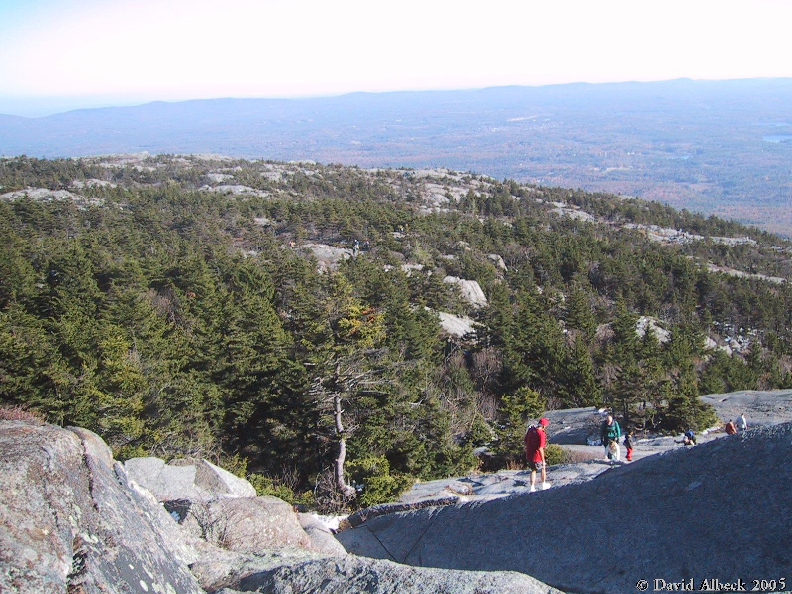
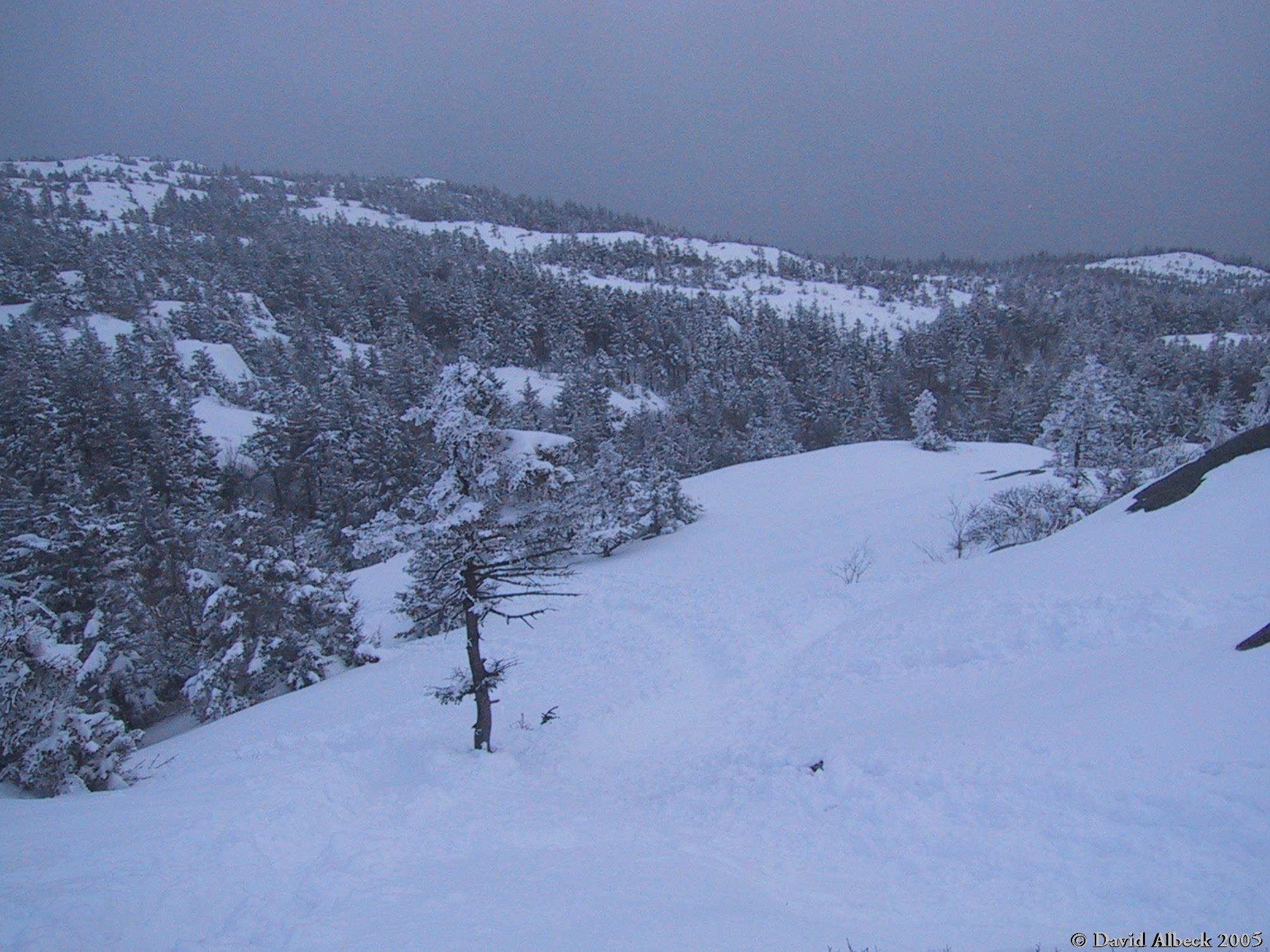
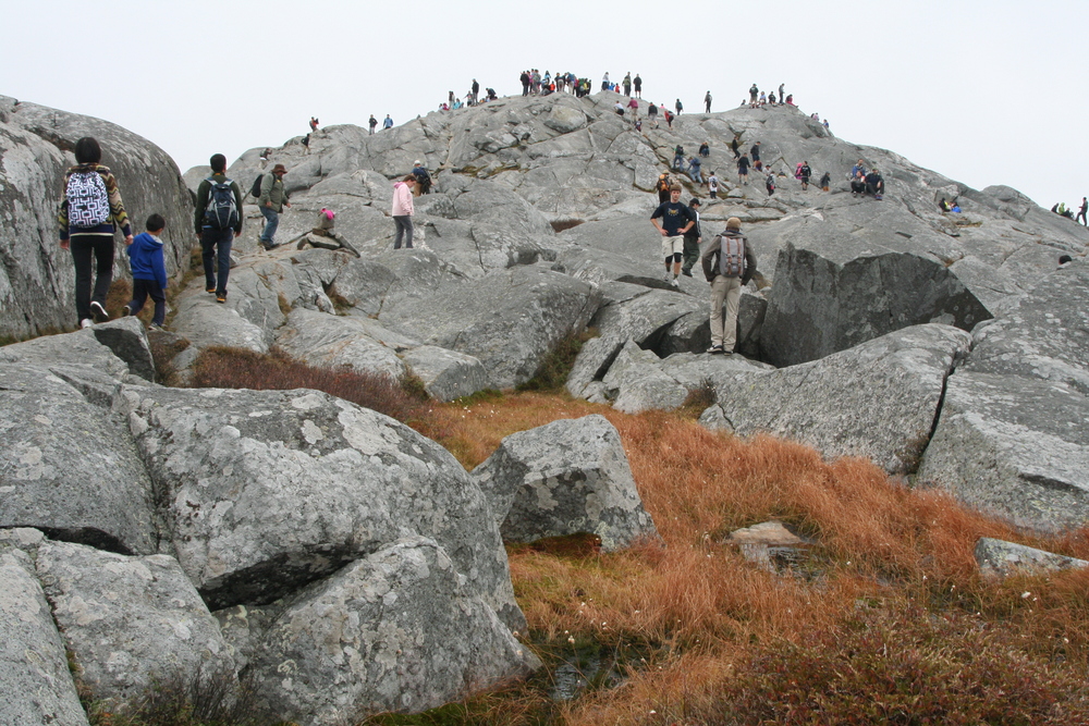
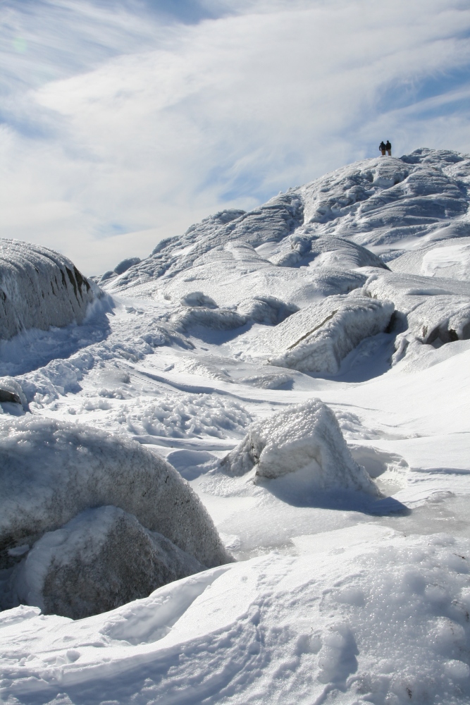
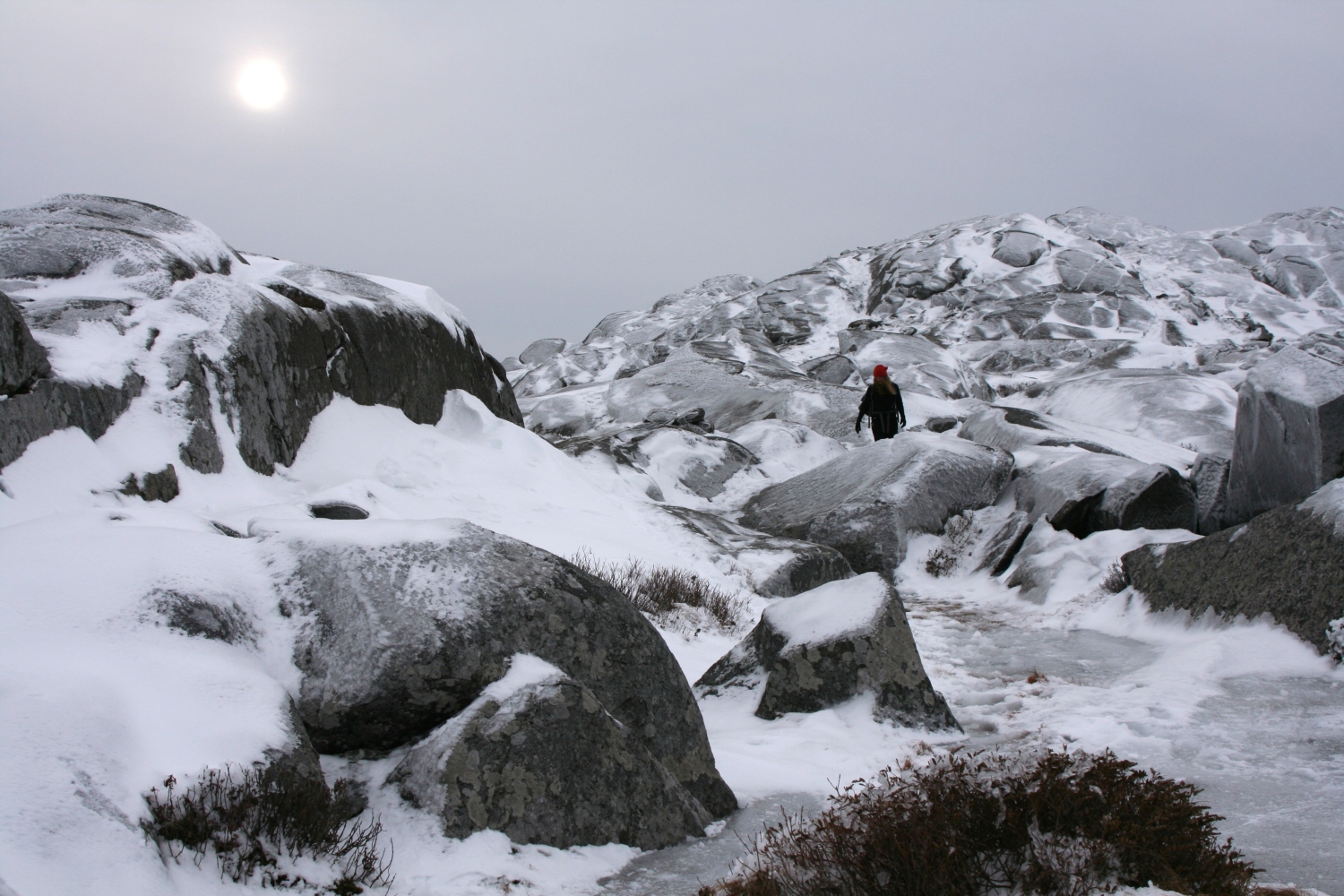
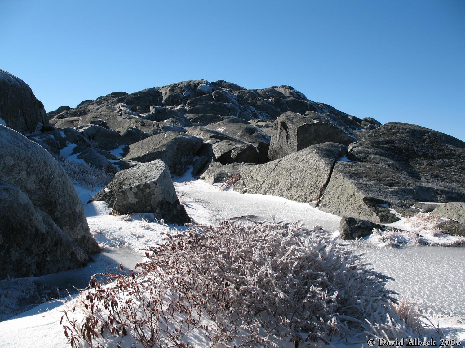
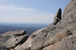
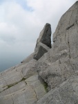
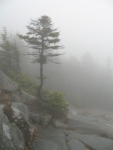
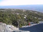
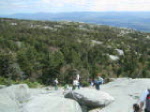
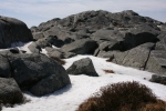
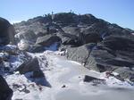
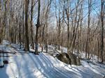
Standing Stone ( top of White Dot trail)
The White Dot and White Cross trails are the most direct trails up Monadnock. They start in the state park on the southeast side of the mountain, diverge after a little while, then merge again. At the top the combined trail, called the White Dot Trail, is rocky but relatively flat until just below the summit. The standing stone shown here is one of the last landmarks you pass during the steep final climb.
high clouds

bright sun
bright sun
snowstorm
December '08
sun & snow
fog
light mist
bright sun
[Standing Stone]
[Bent Tree]
[Puddle]
[Halfway Sign]
[Fractured Rock]
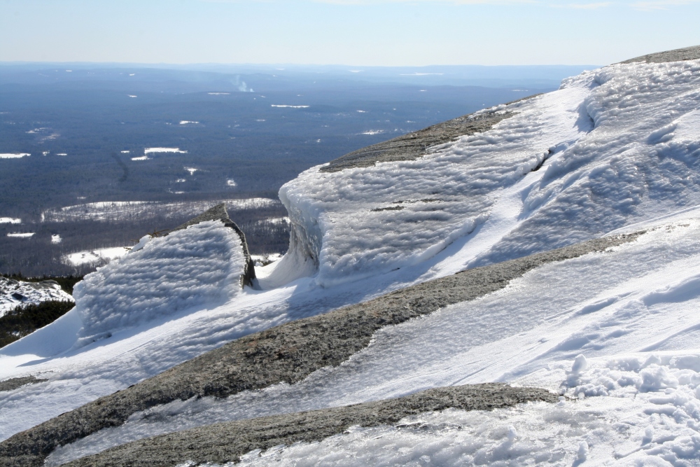
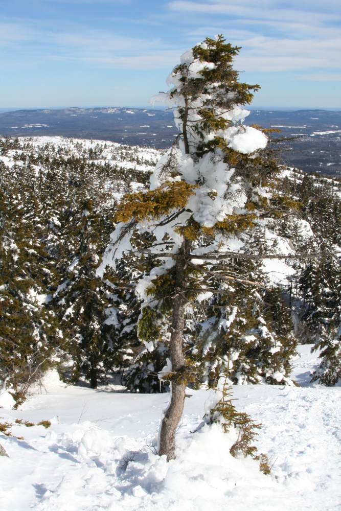
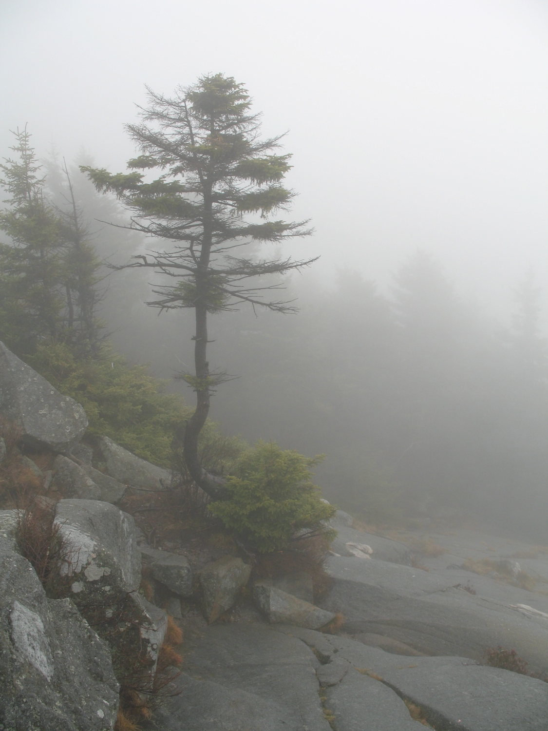
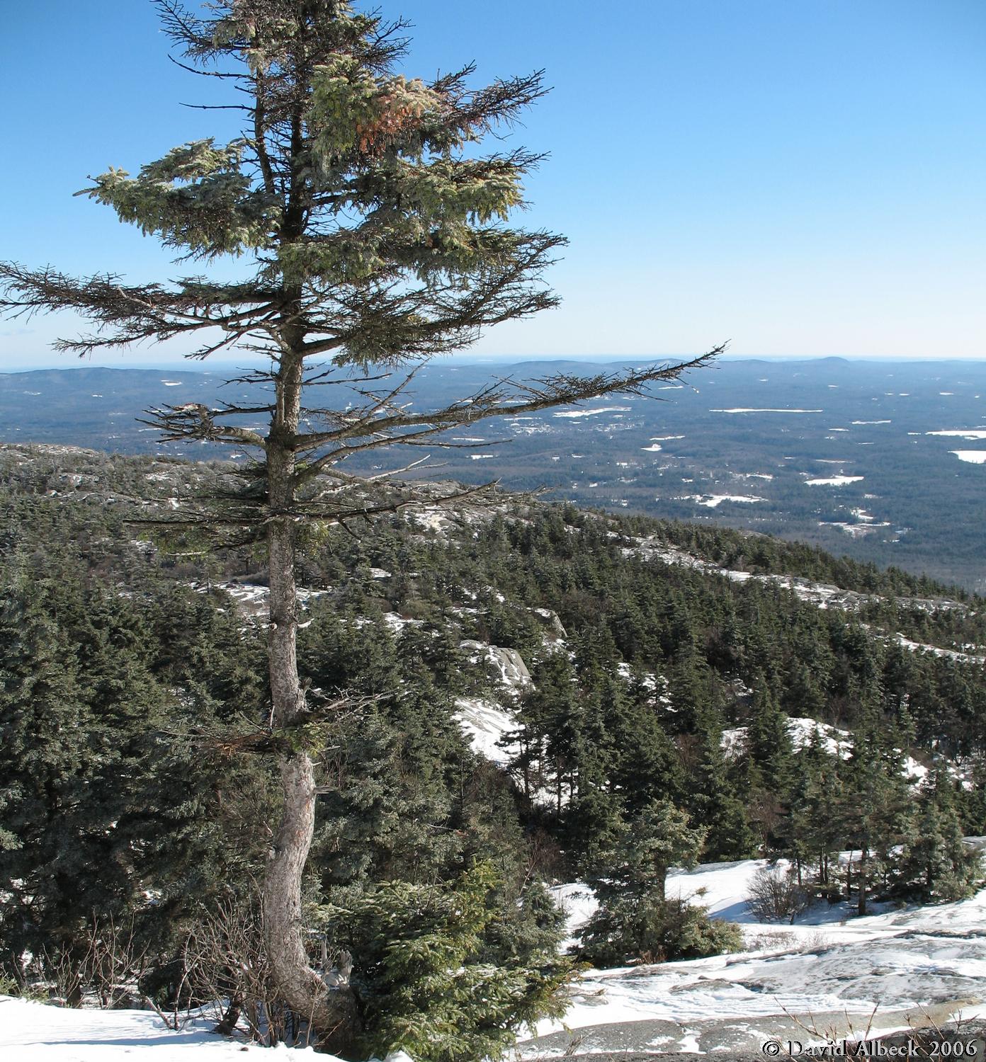
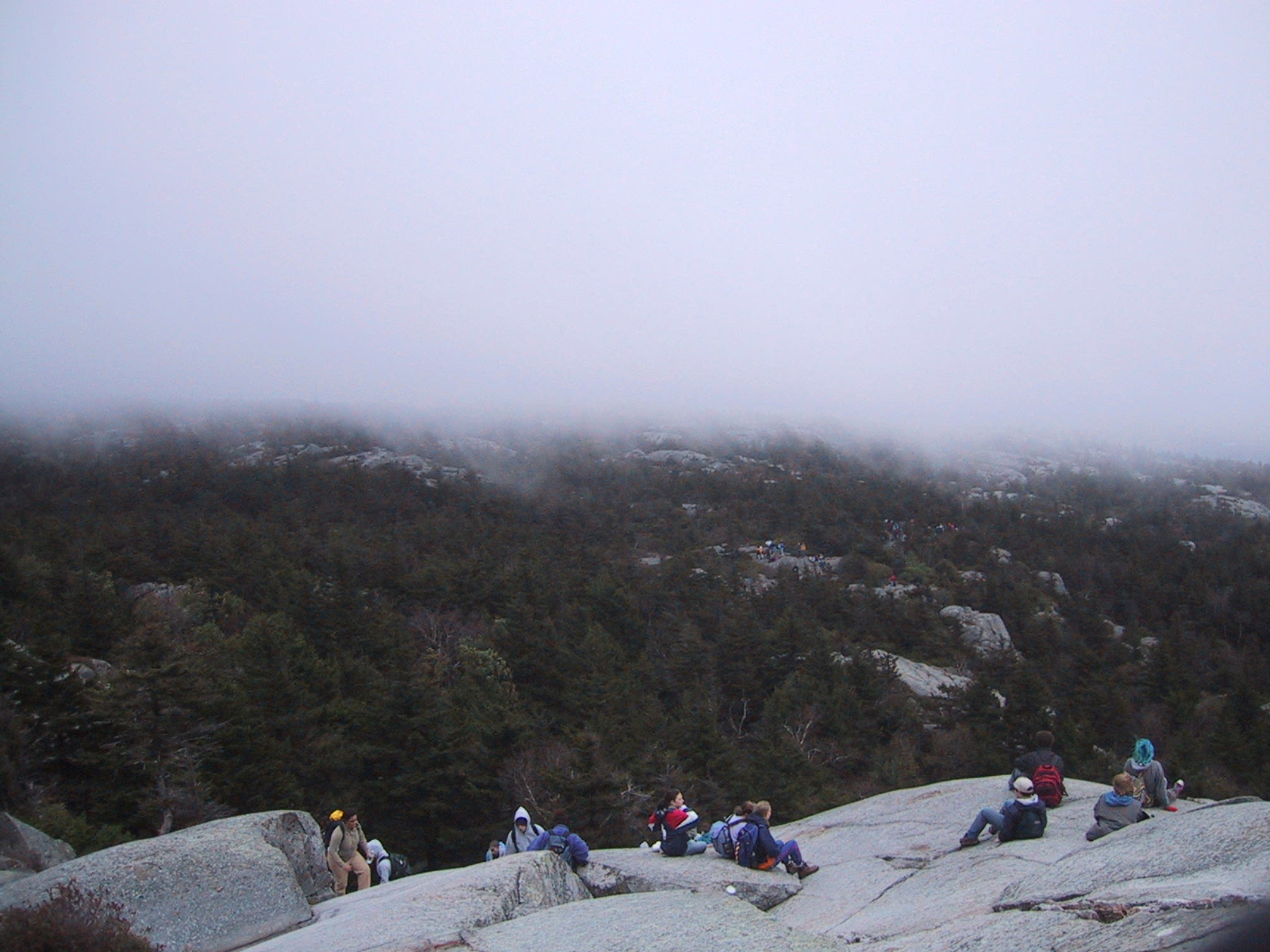
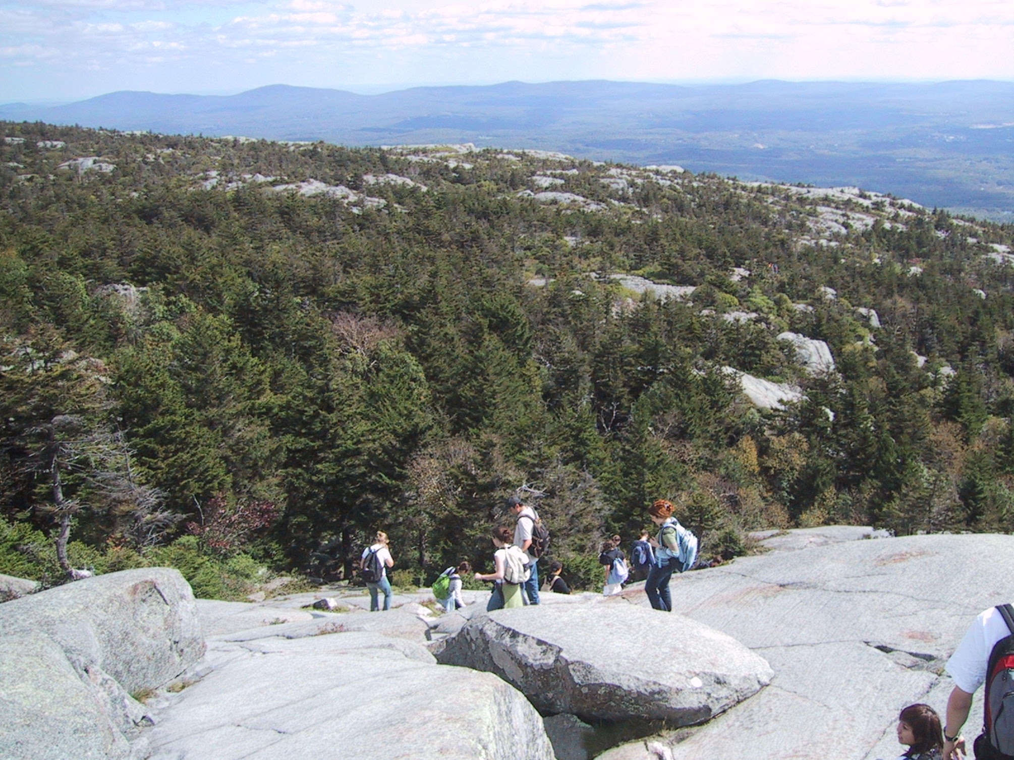
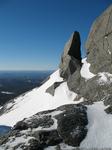
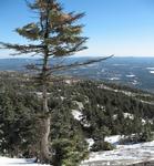
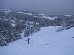
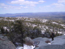
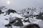
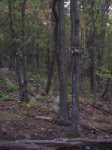
Bent Tree near Summit (top of White Dot trail)
This tree marks the beginning of the steep slabs at the top of the White Dot trail.
sun & snow
sun & snow
bright sun

heavy cloud
Light Mist
Sun and Snow
Sun and Snow
Sun
Snow
Clouds
Clouds
Sunshine
Sun & Snowmelt
[Standing Stone]
[Bent Tree]
[Puddle]
[Halfway Sign]
[Fractured Rock]
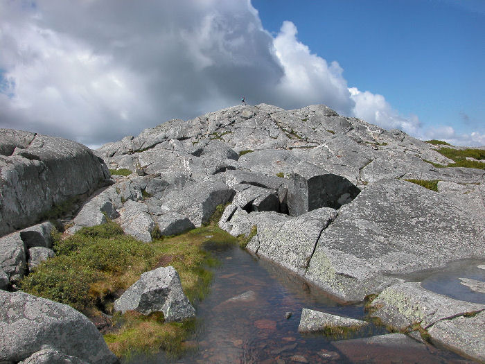
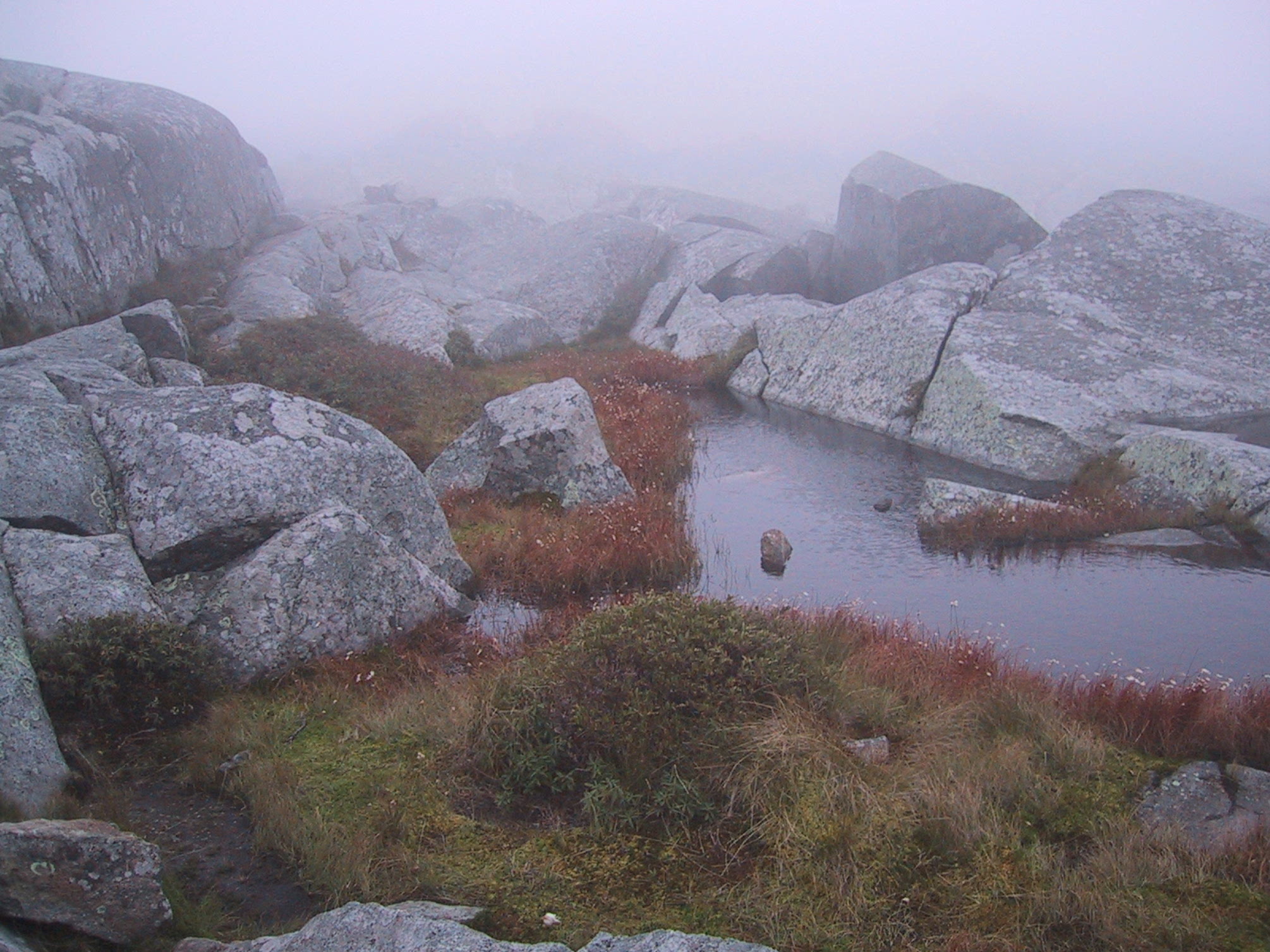
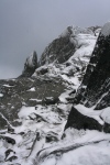
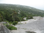
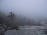
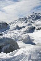
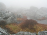
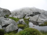
Puddle Northeast of Summit
The Pumpelly Trail follows a long ridge from the northeast. Just before it finally reaches the summit, it passes this little pond.
fall crowds

sun & snow
sun & snow
bright sun
high cloud
heavy cloud
Light Mist
Sun & Rime

Thin Ice
Fog
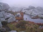
photo by
Sunfish
June '03
[Standing Stone]
[Bent Tree]
[Puddle]
[Halfway Sign]
[Fractured Rock]
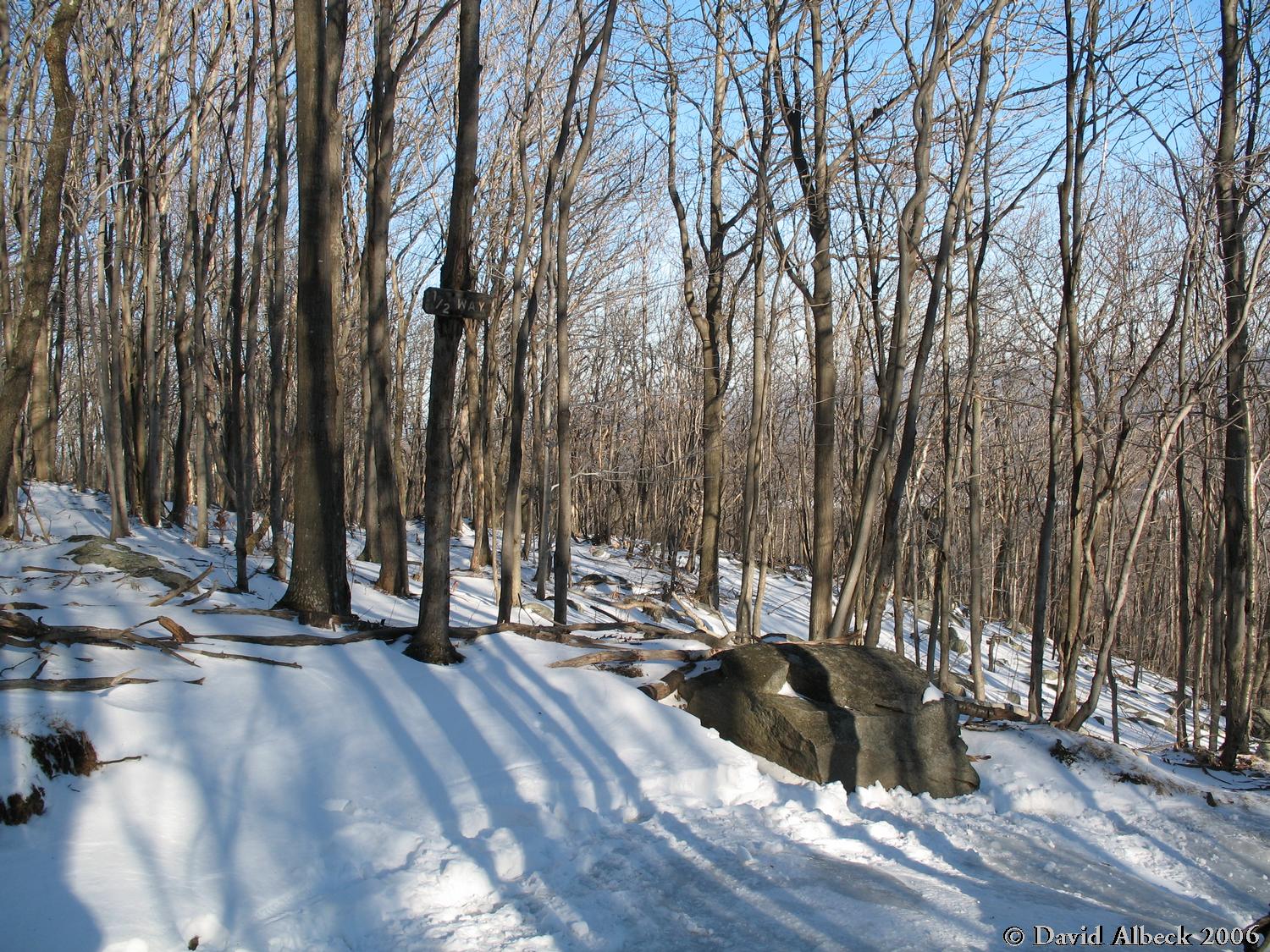
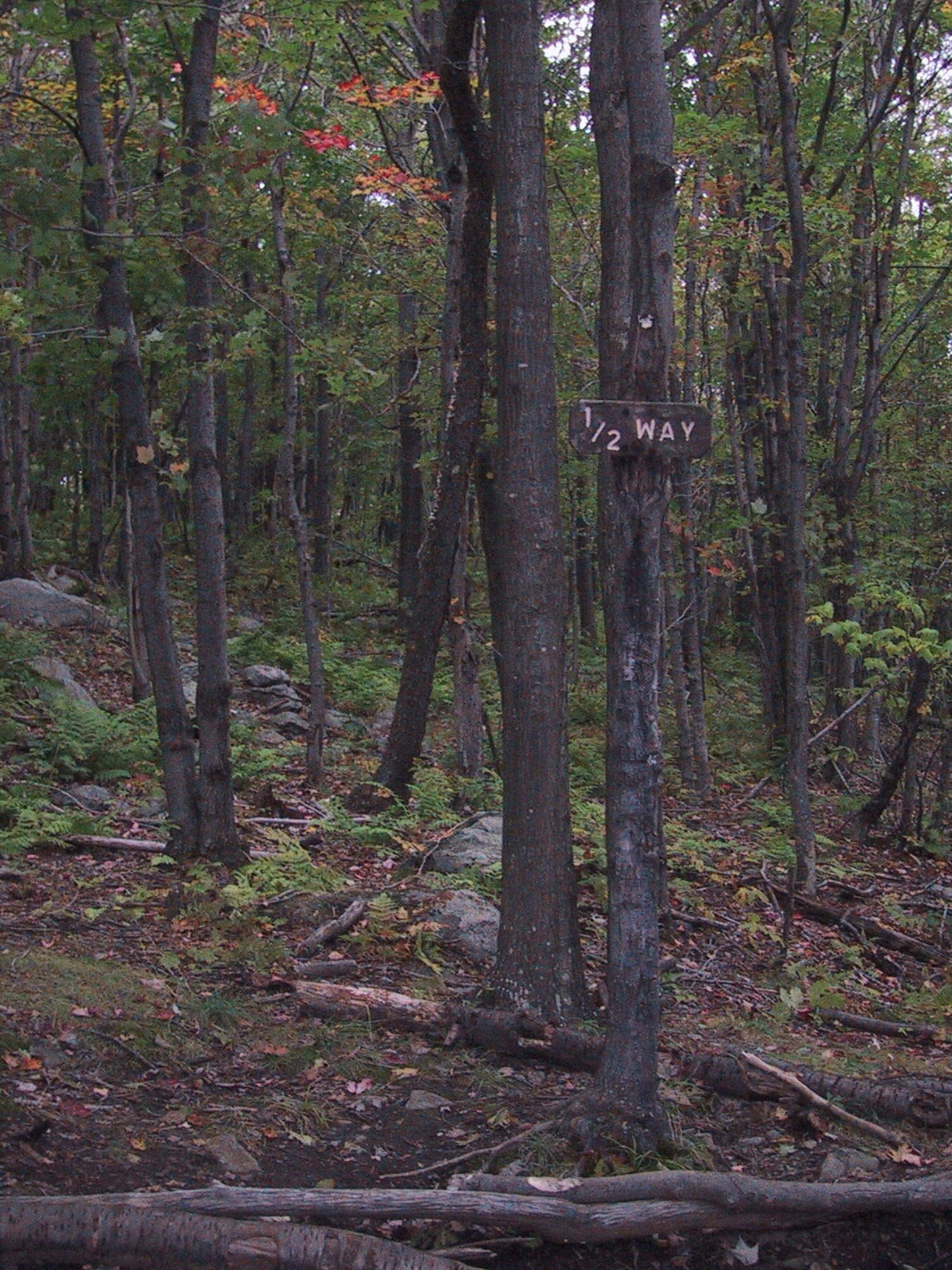
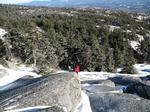
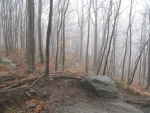
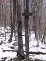
White Dot Half Way Sign
As you might guess, this spot is located halfway up the White Dot trail.
Sign is gone!
Snow
Early Fall
Late Snow
[Standing Stone]
[Bent Tree]
[Puddle]
[Halfway Sign]
[Fractured Rock]
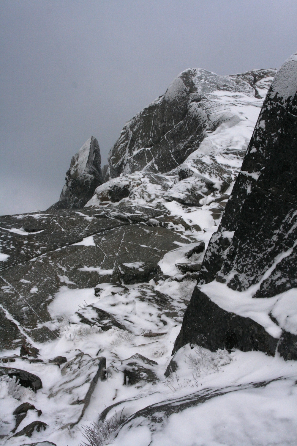
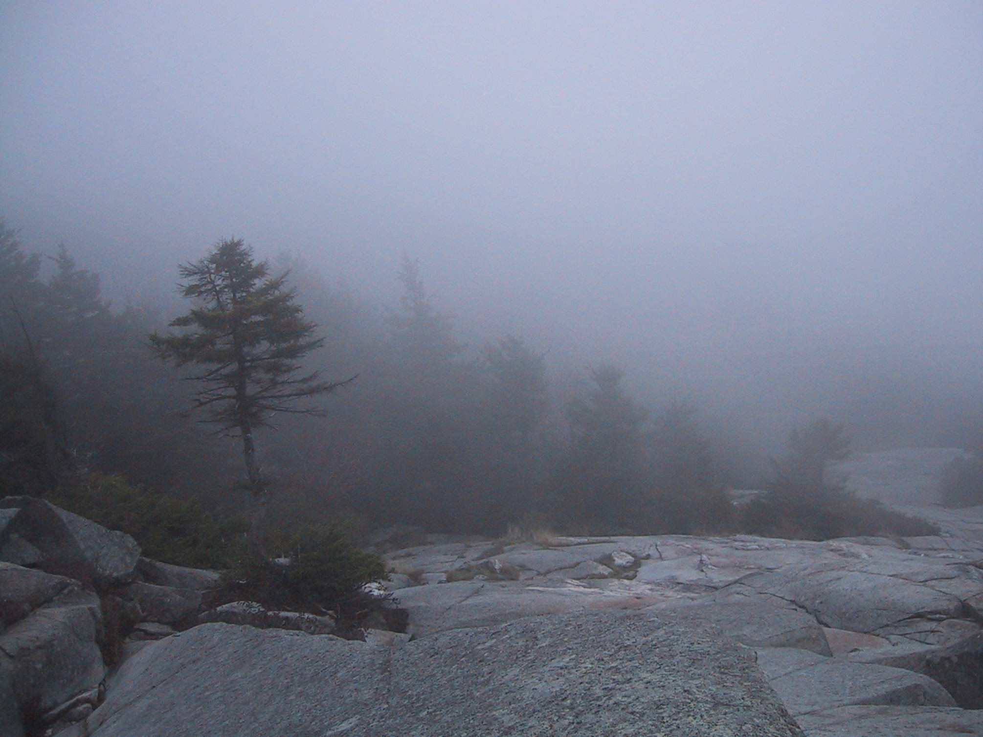
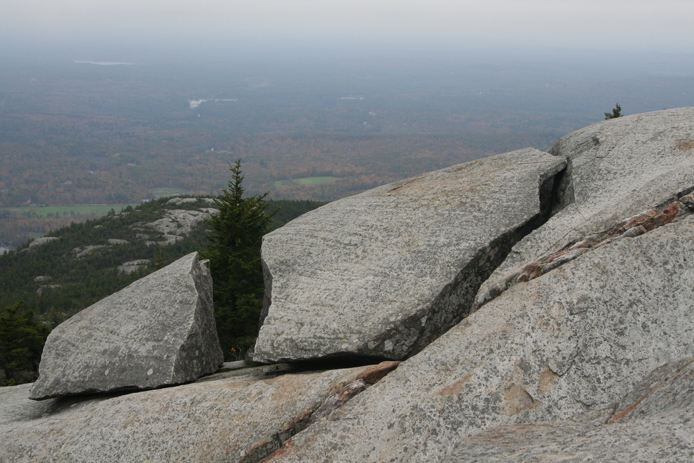
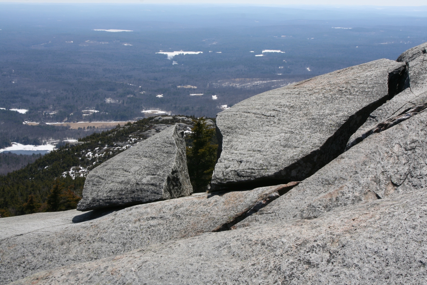
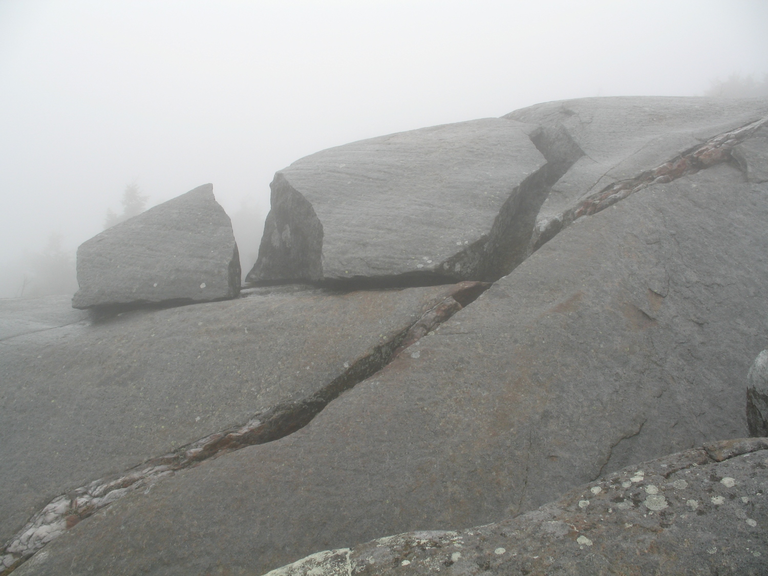
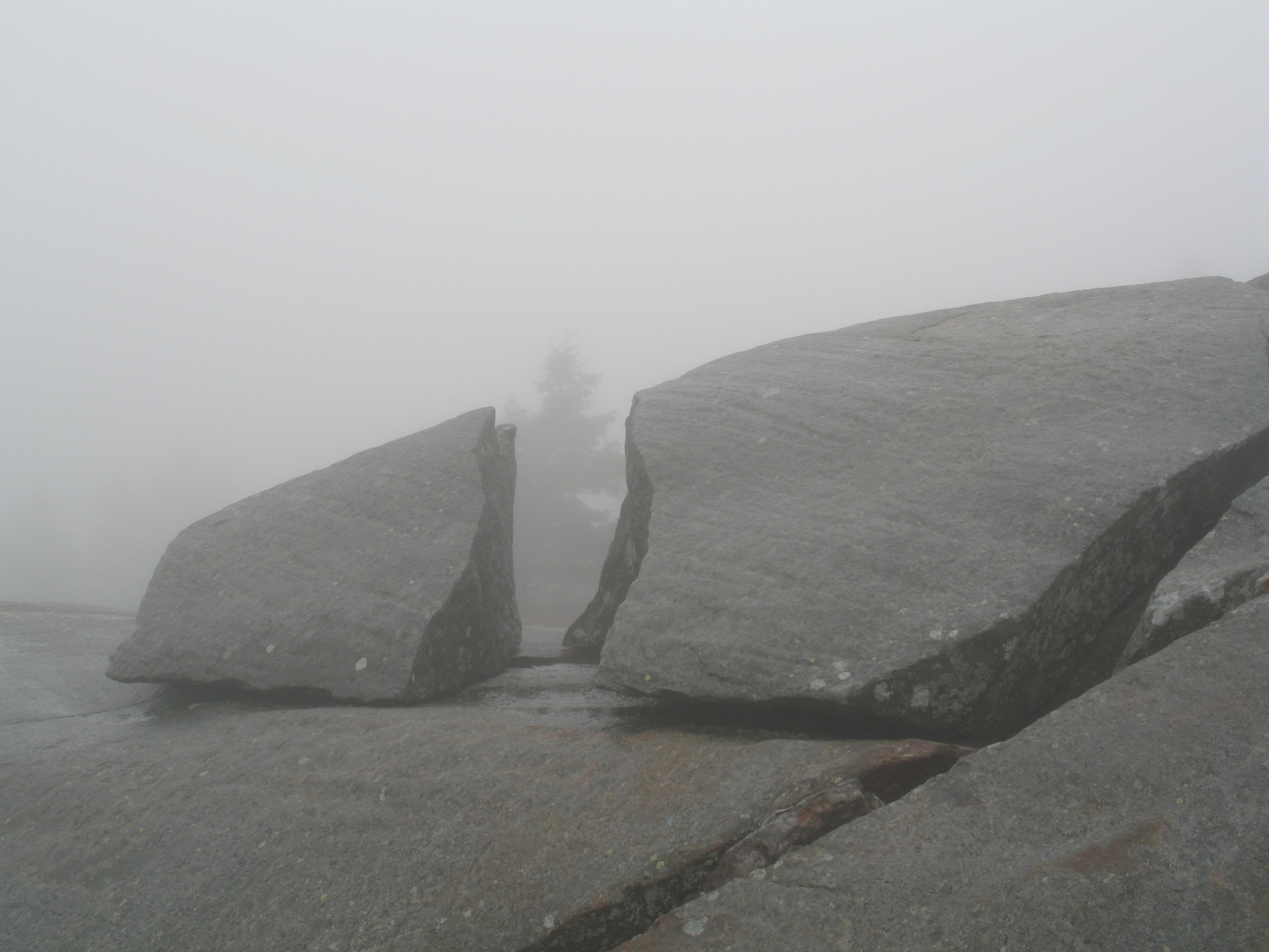
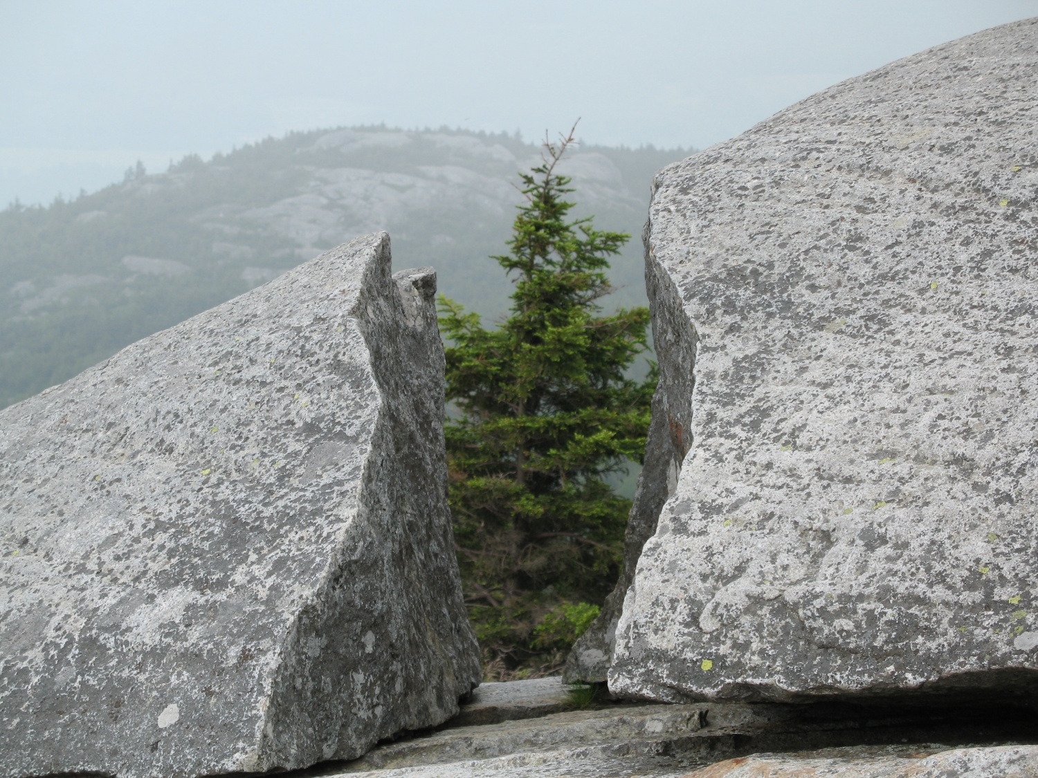
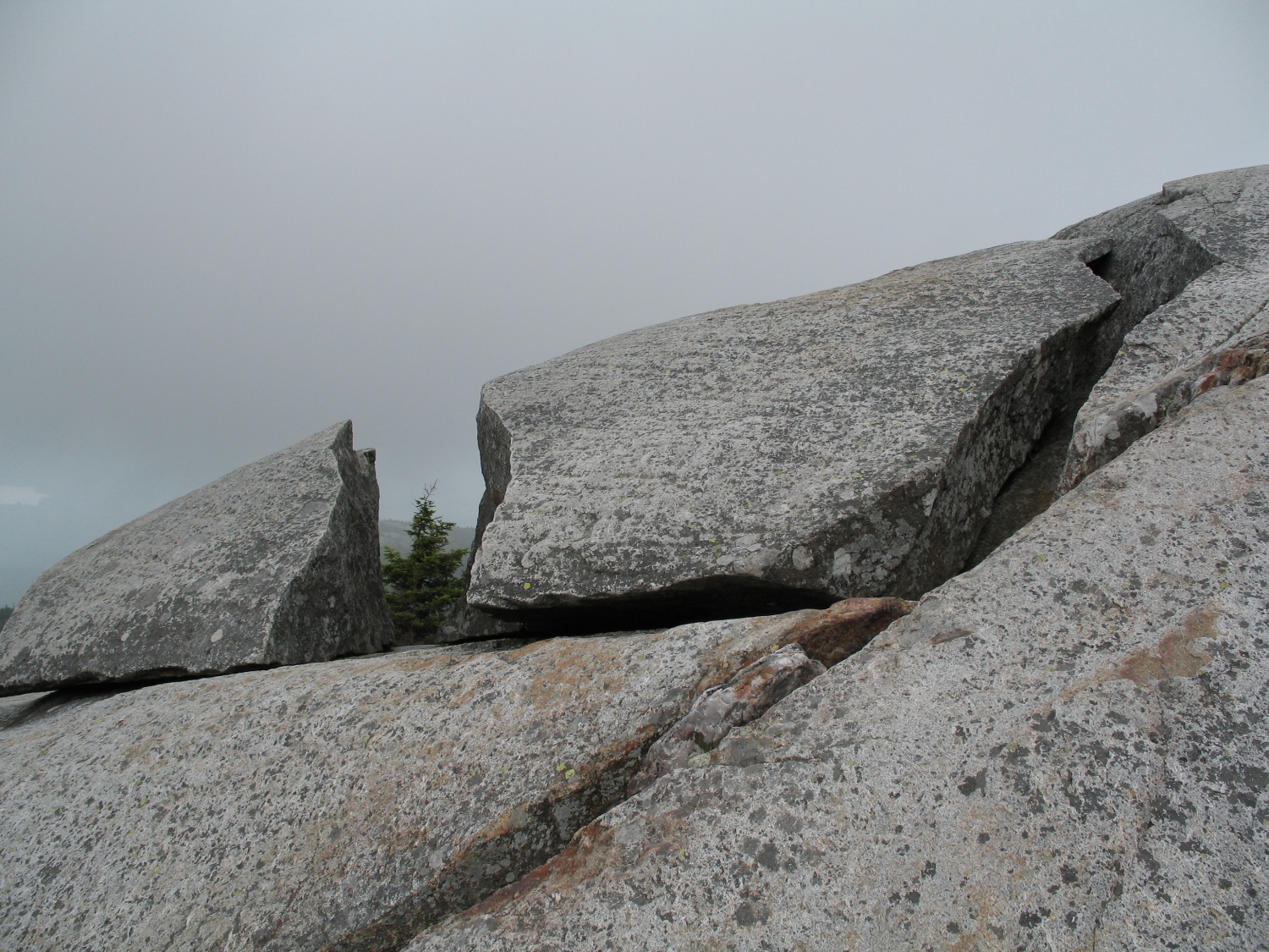
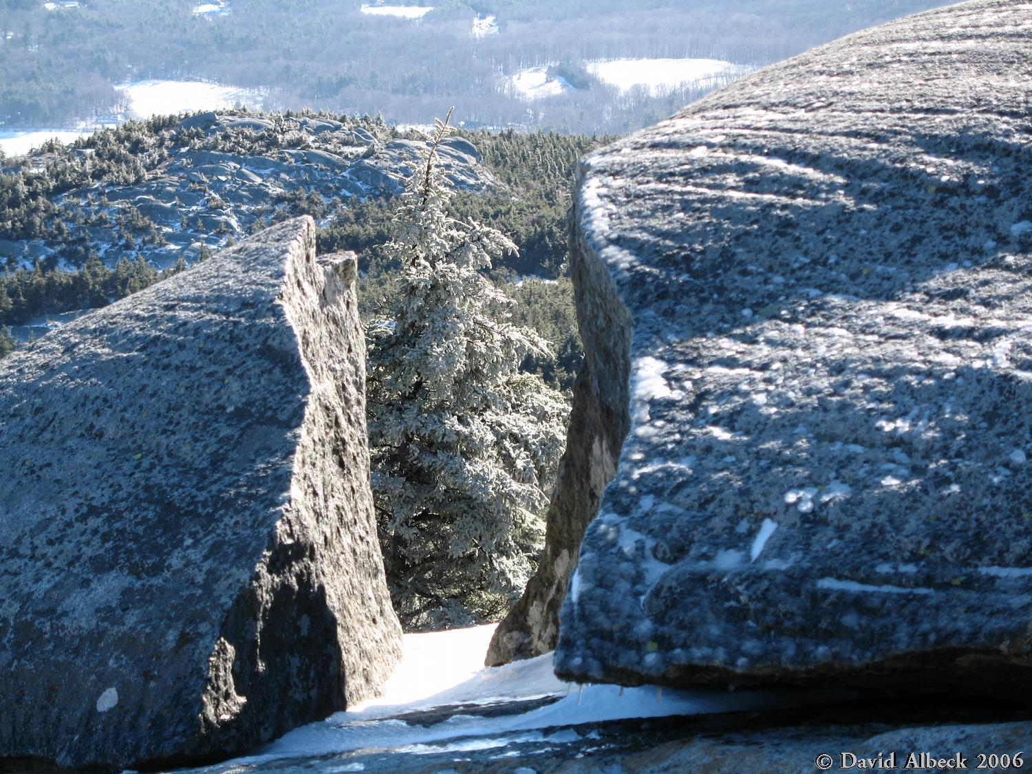
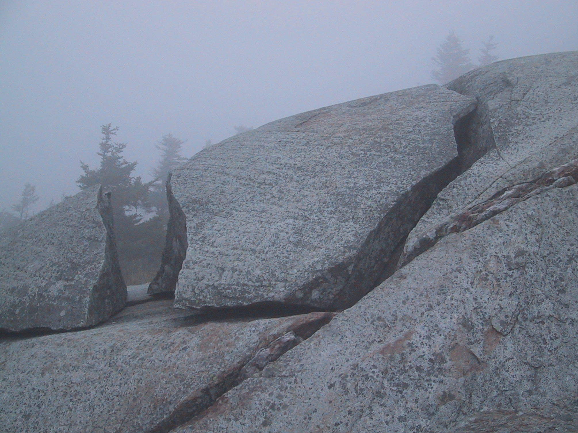
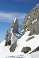
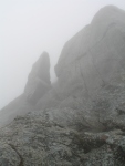
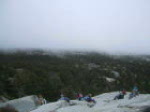
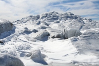
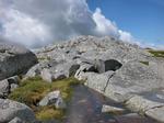
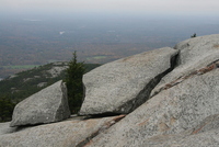
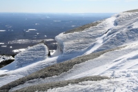
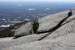
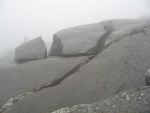
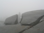
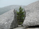
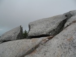
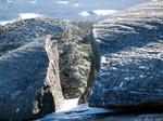
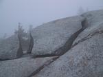
Fractured Rock ( top of White Dot trail)
This spot is located very near the bent tree near the top of the White Dot trail. I'd walked past it many times before it
caught my attention one foggy day.
high clouds
sun & snow
March 2010
bright sun
heavy cloud
heavy cloud
Light Mist
Light Mist
Snow
Fog
Back to photos main page